Most recently added antique and rare maps as of 7/15/2025.
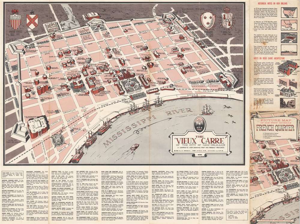
$1,500.00
$375.00
$350.00
$250.00
$200.00
$150.00
$150.00
$100.00
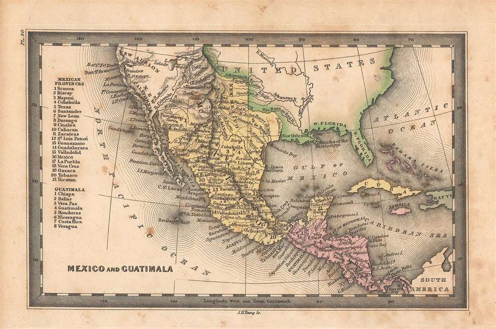
$850.00


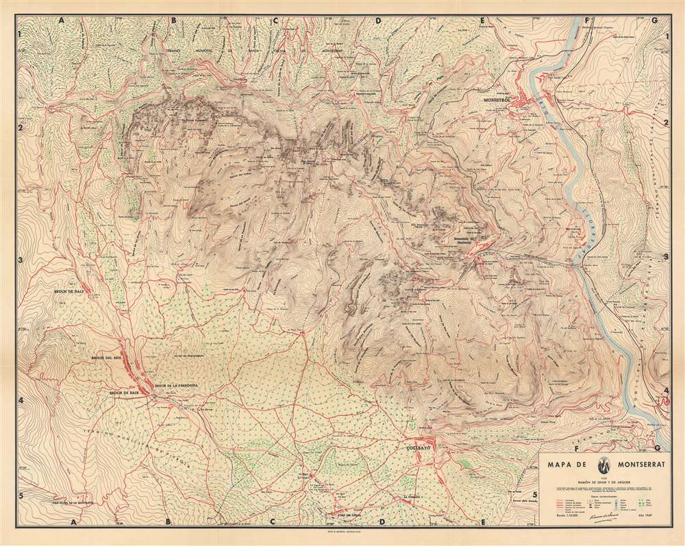
$400.00
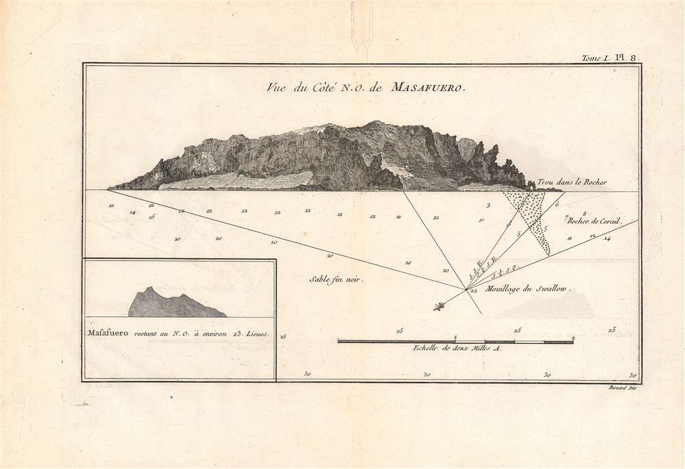
$350.00
Copyright © 2025 Geographicus Rare Antique Maps | Geographicus Rare Antique Maps