Most recently added antique and rare maps as of 7/14/2025.
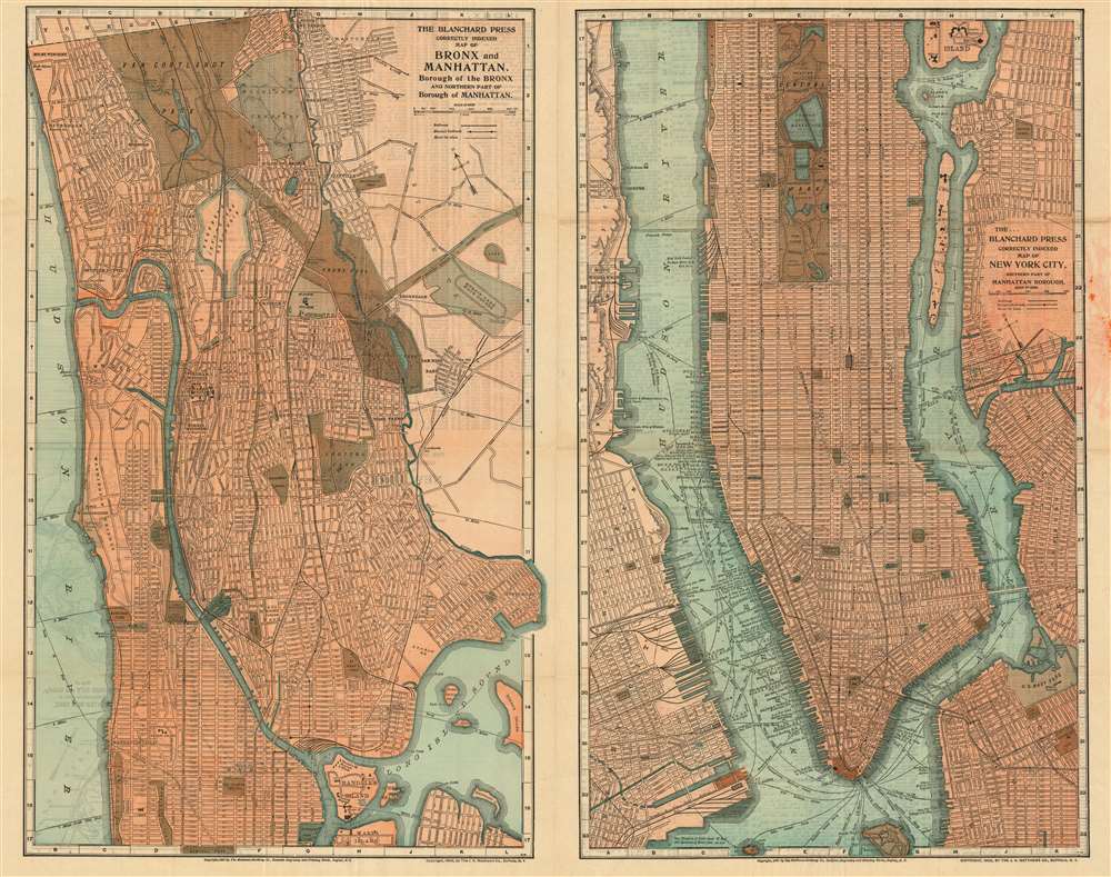
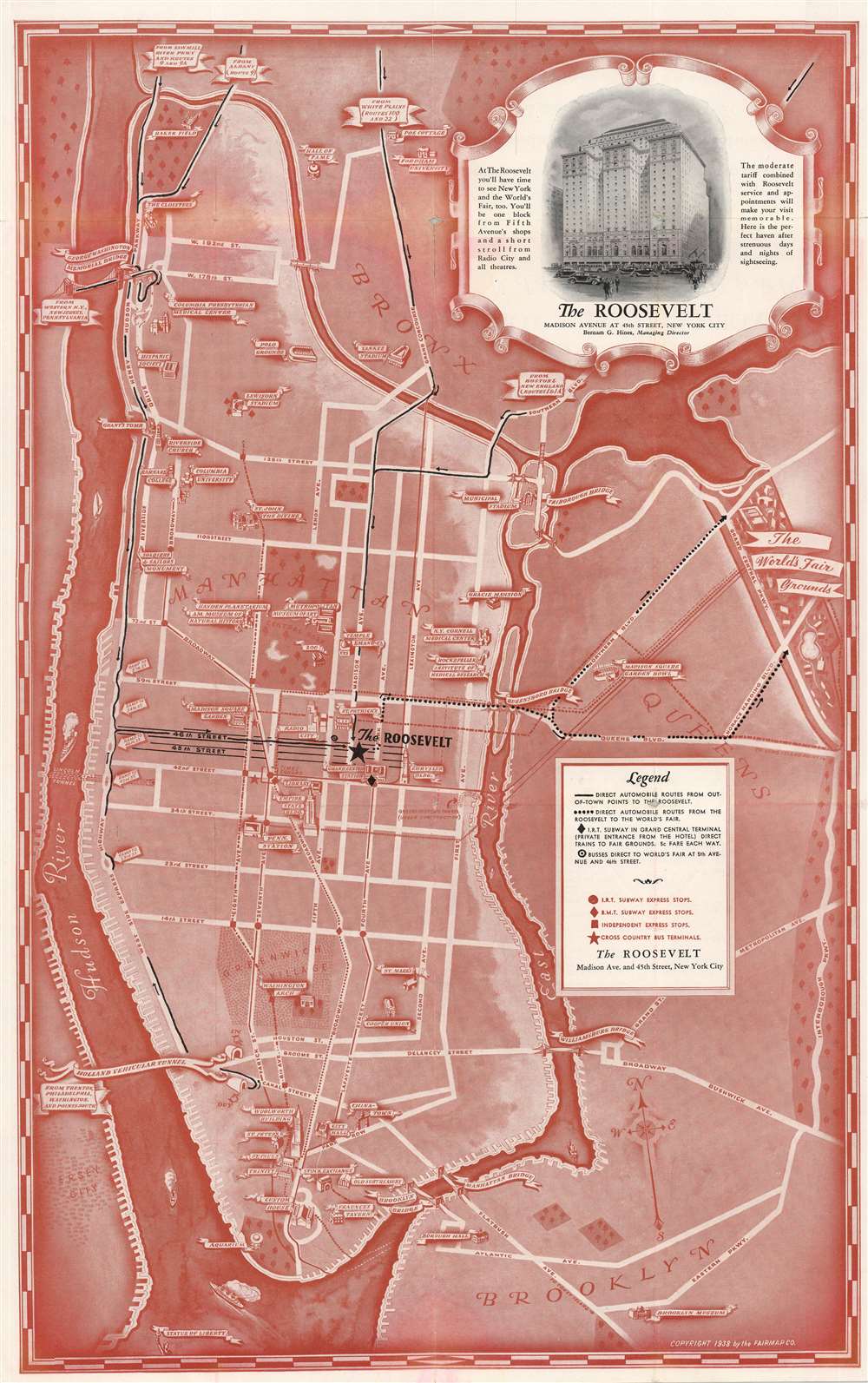
A Richly Detailed Map of Manhattan and the Bronx: One of the First to Show the Bronx Zoo
$850.00
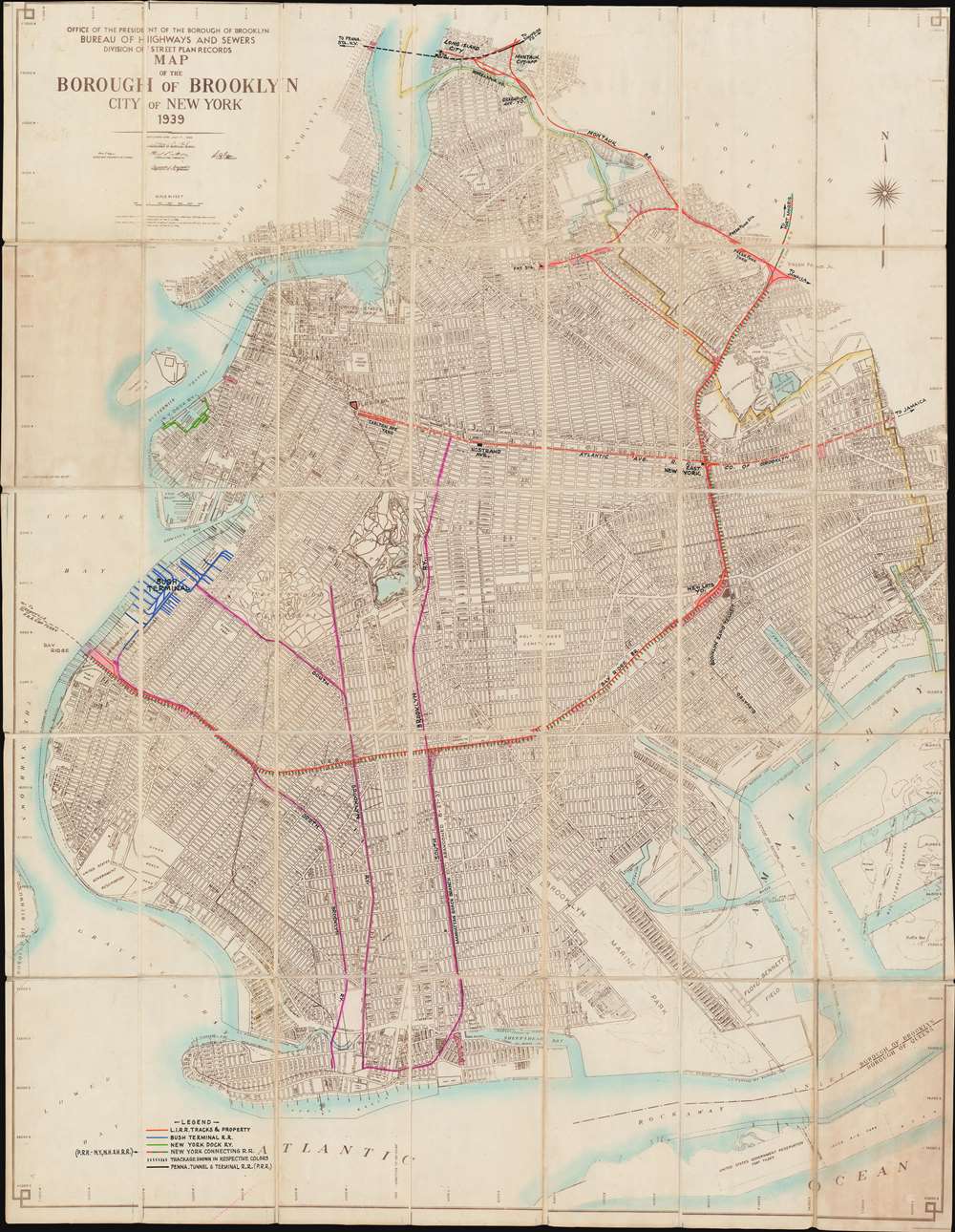
Highlights railroad routes throughout Brooklyn just before World War II.
$750.00
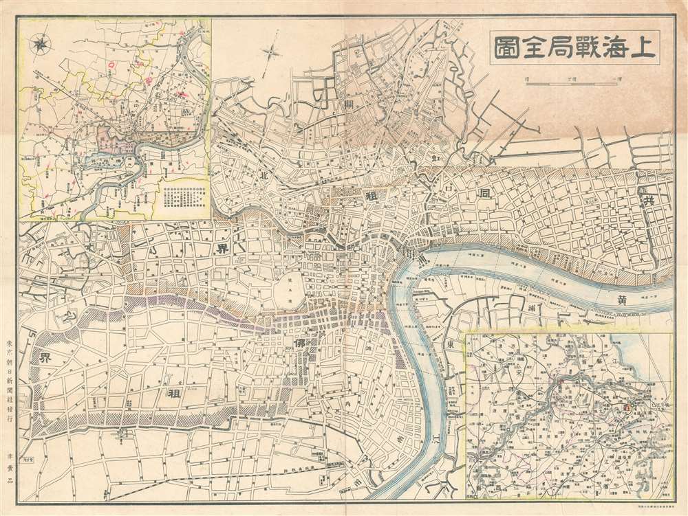
Map of Shanghai illustrating the situation in the city between the first and second phases of the Battle of Shanghai.
$600.00
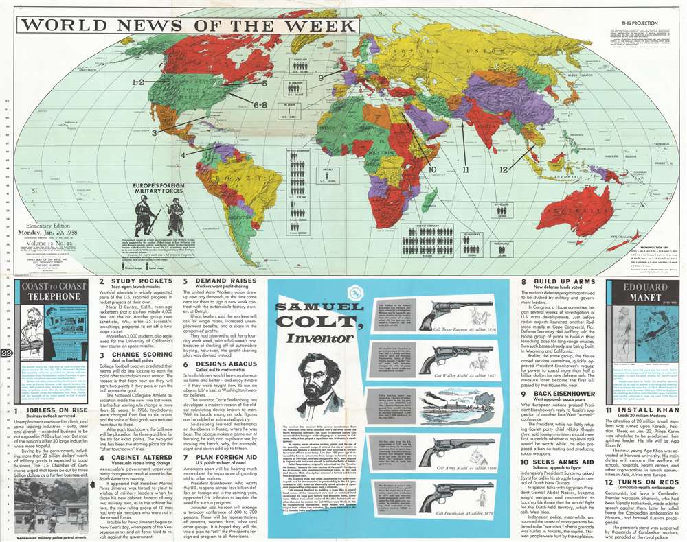
Highlights the strength of foreign armies in continental Europe and the evolution of the Colt pistol.
$500.00
Illustrates famous sites around Manhattan in profile, including the Empire State Building and the Metropolitan Museum of Art.
$500.00
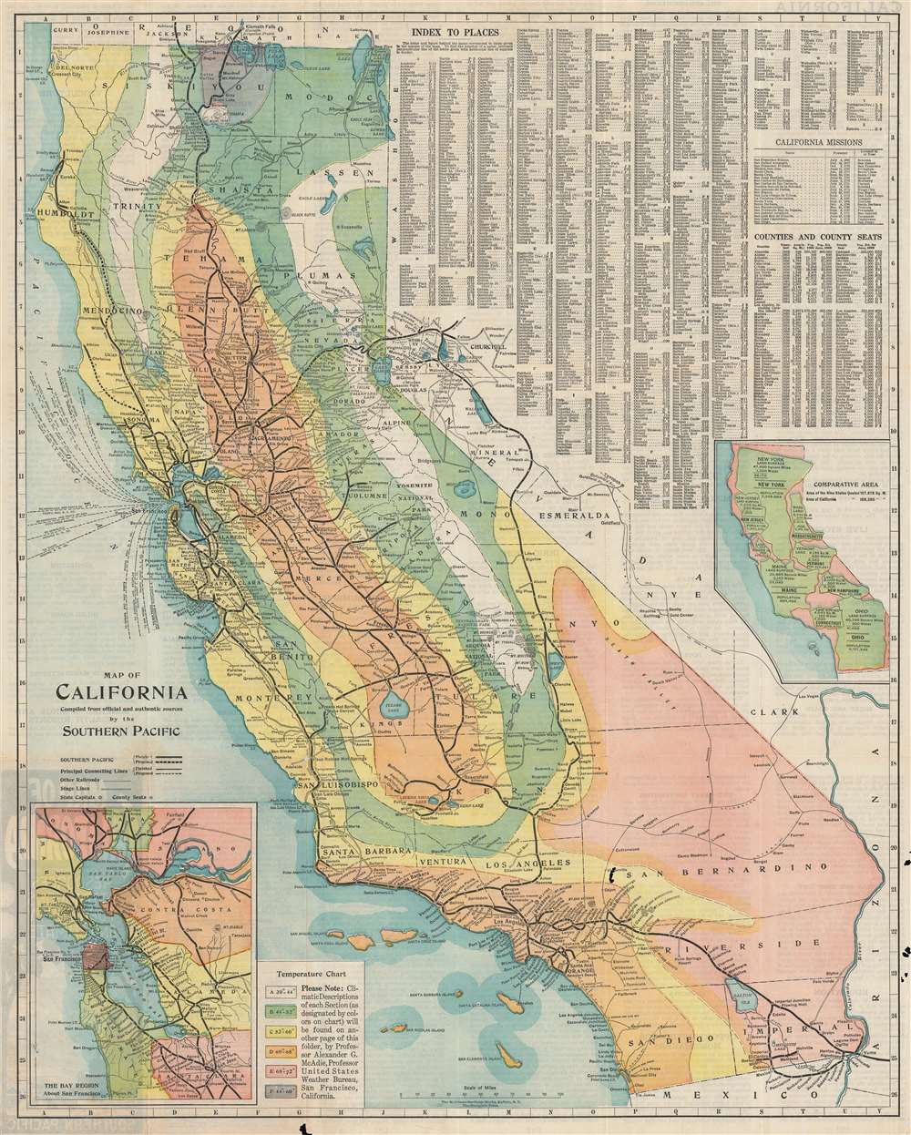
A climate map that highlights average temperatures throughout the state.
$400.00
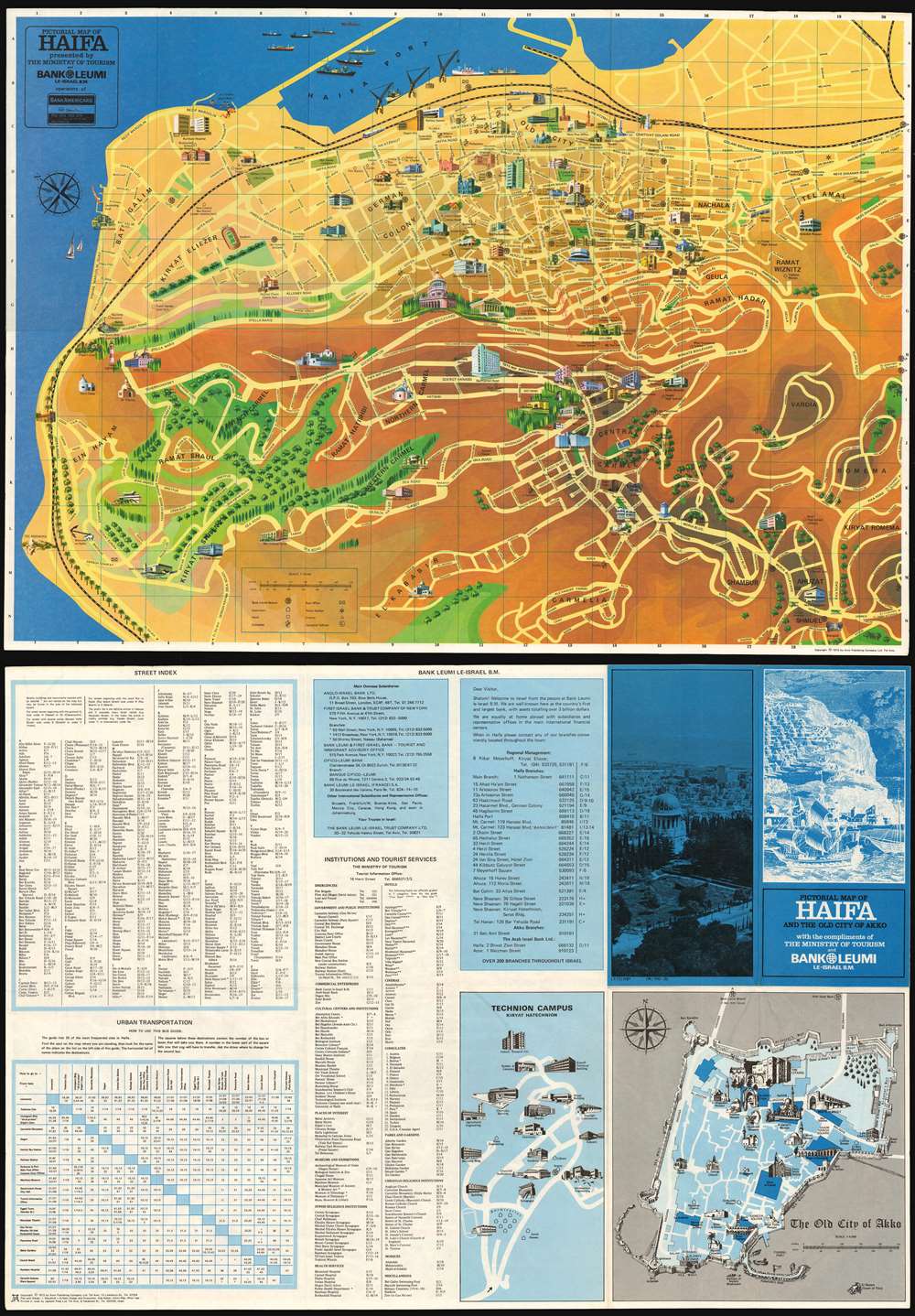
An Attractive Pictorial Tourist's Map of the City of Haifa
$200.00
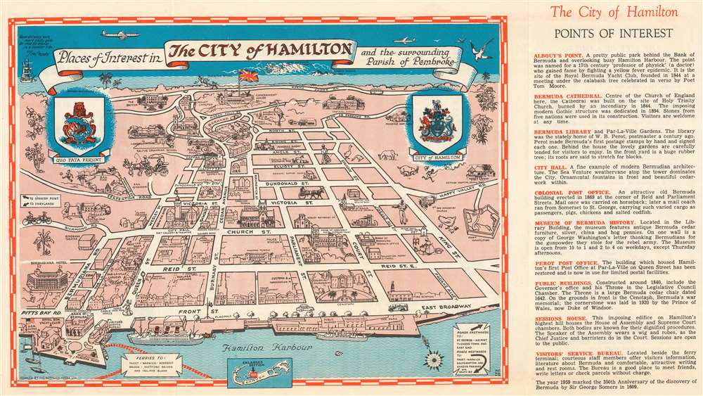
Scarce pictorial represention of the Bermuda city of Hamilton.
$100.00
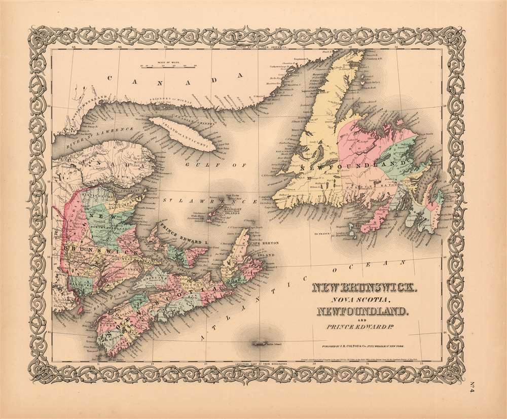
A Detailed and Attractive Map of Maritime Canada
$125.00
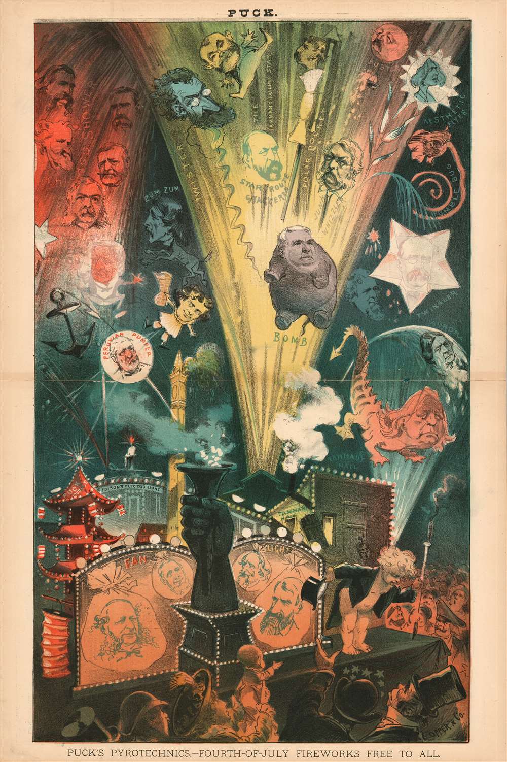
Puck Magazine Explodes 1881's Republican Corruption in this Gilded Age Cartoon
$750.00
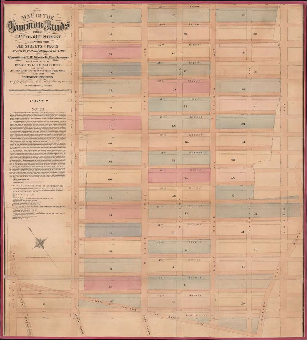
Includes part of Bloomingdale Road, today known as Broadway, including Times Square.
$3,000.00
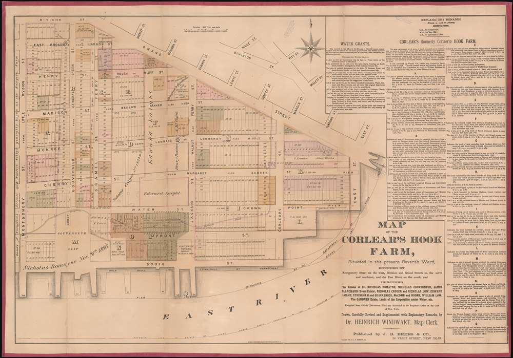
One of the earliest specific maps of the Lower East Side!
$3,000.00
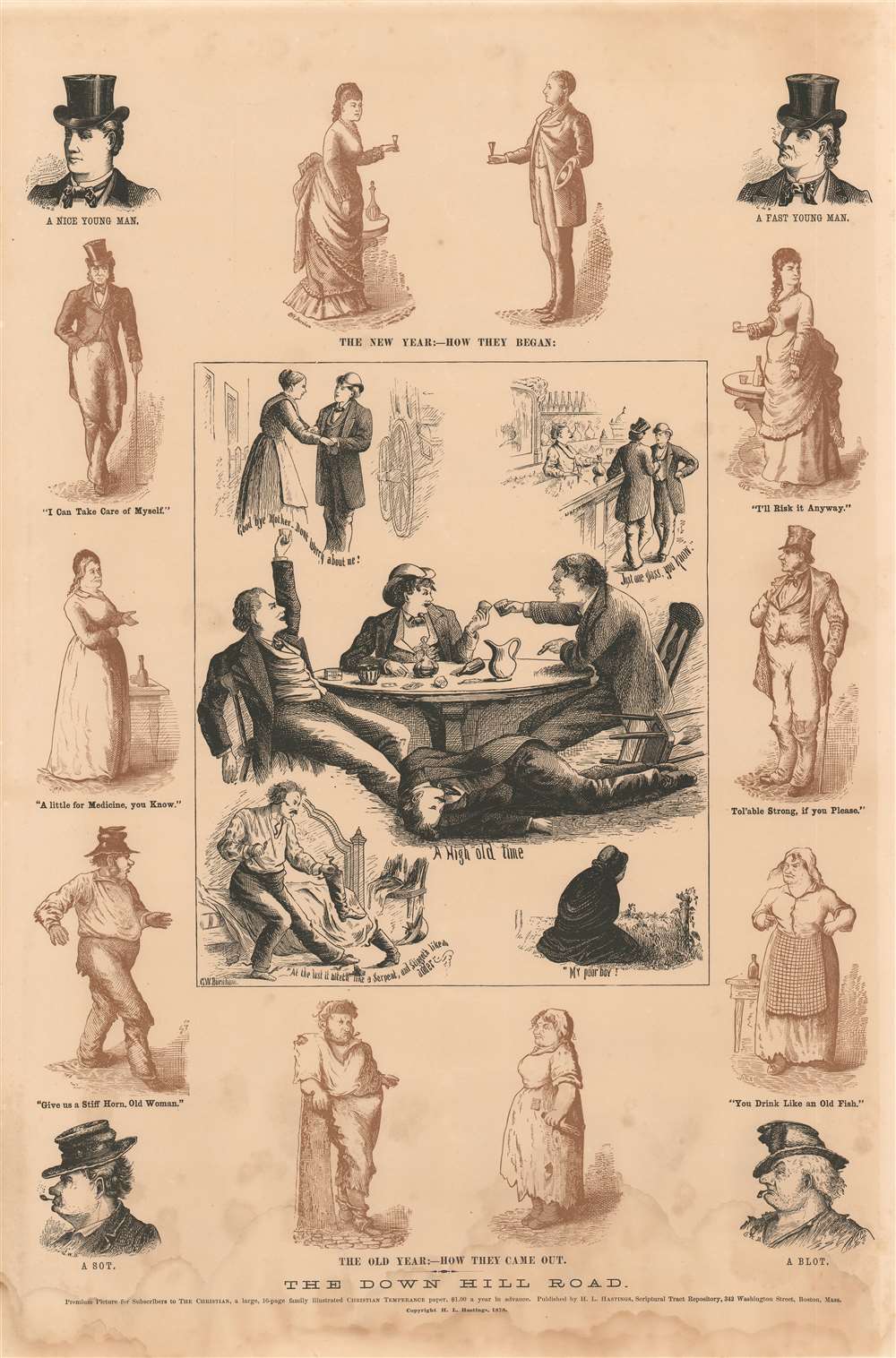
Rare Temperance Broadside Depicting the Transformative Powers of Alcohol
$750.00
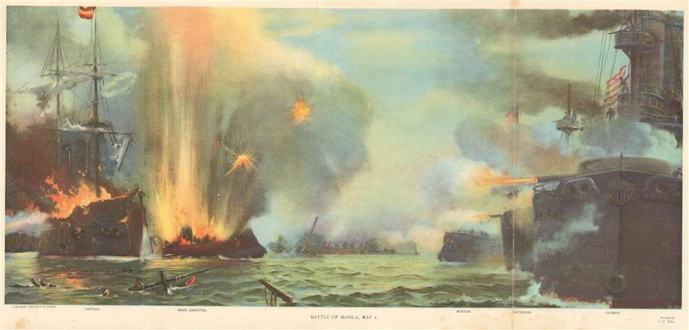
Striking view of the Battle of Manila Bay during the Spanish-American War.
$350.00
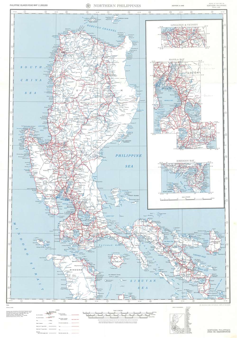
A detailed road map of Luzon created the year before Allied forces began retaking the island from the Japanese.
$300.00
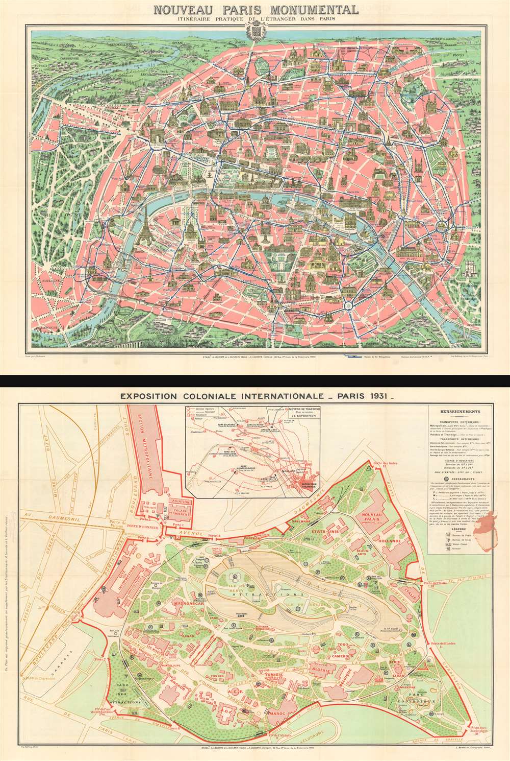
Includes a detailed plan of the Paris International Colonial Exposition on verso - which included a reconstruction of Angkor Wat.
$350.00
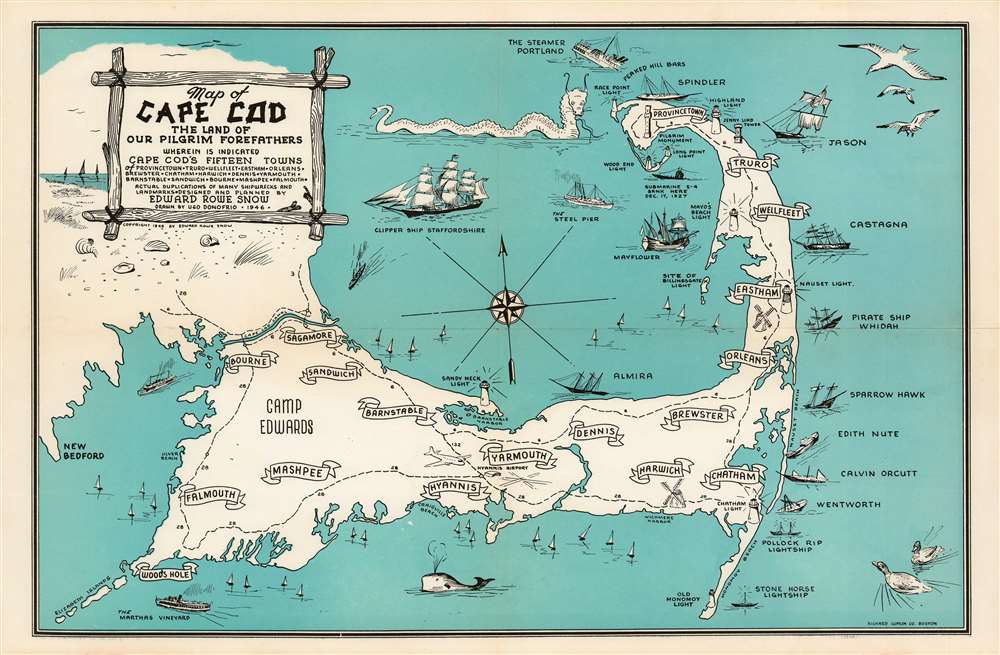
An Attractive and Entertaining Pictorial Map of Cape Cod, Massachusetts
$450.00
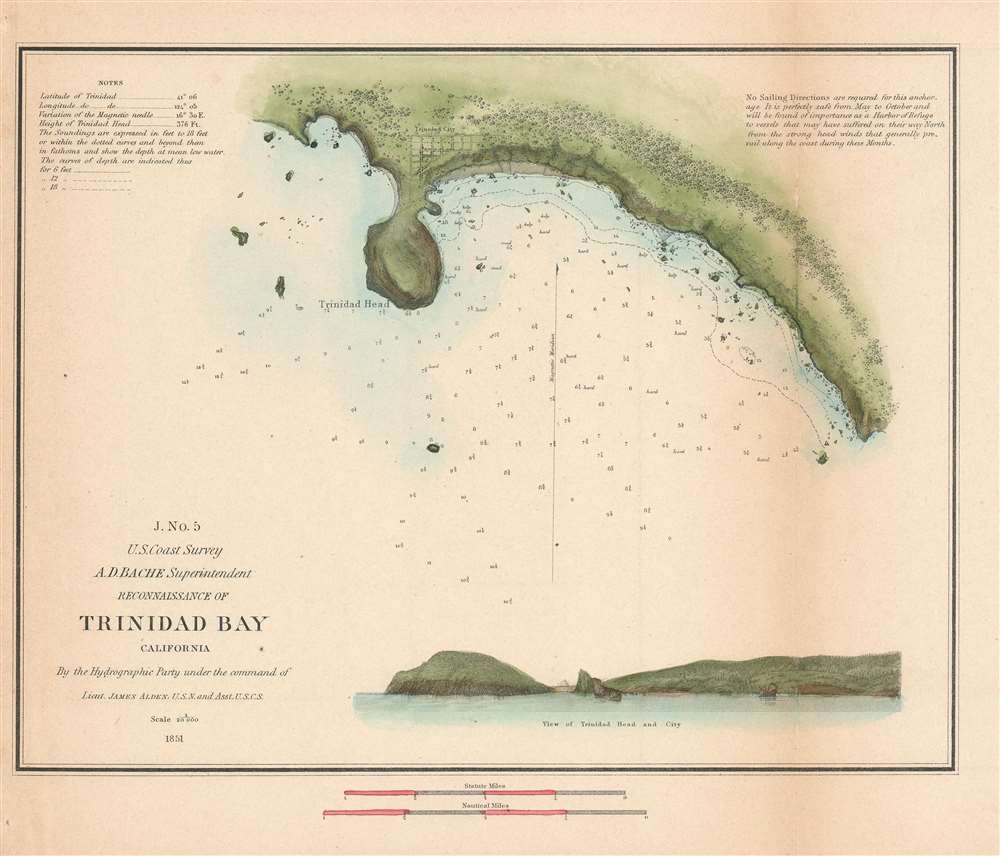
Coast Survey chart of Trinidad Bay, gateway to the California Coastal National Monument.
$250.00

