Most recently added antique and rare maps as of 7/15/2025.
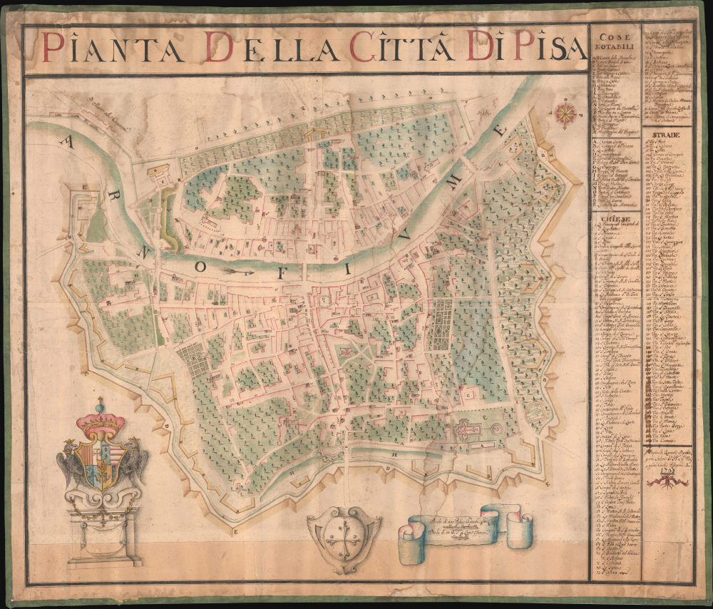
Stunning 18th Century Manuscript Wall Map of Pisa.
$25,000.00
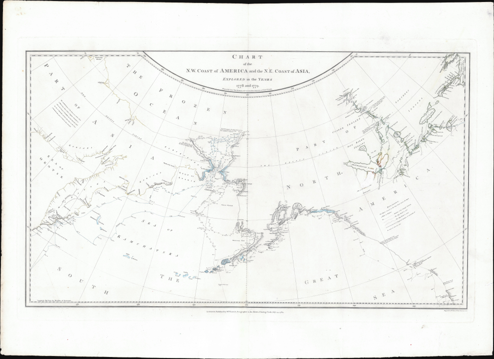
Legendary 'Lost' Cook Chart.
$8,500.00
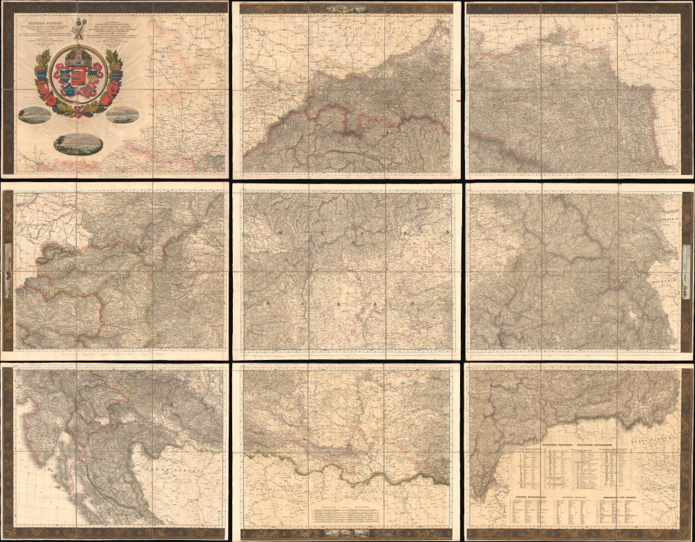
First Edition, First State of a later censured Map of Hungary.
$7,500.00
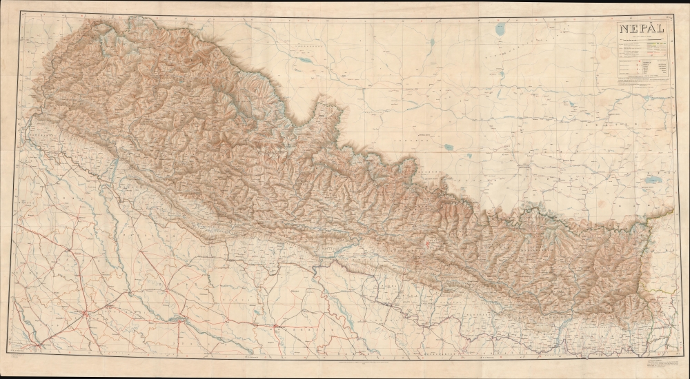
First survey of Nepal conducted by an all-Indian team.
$6,000.00
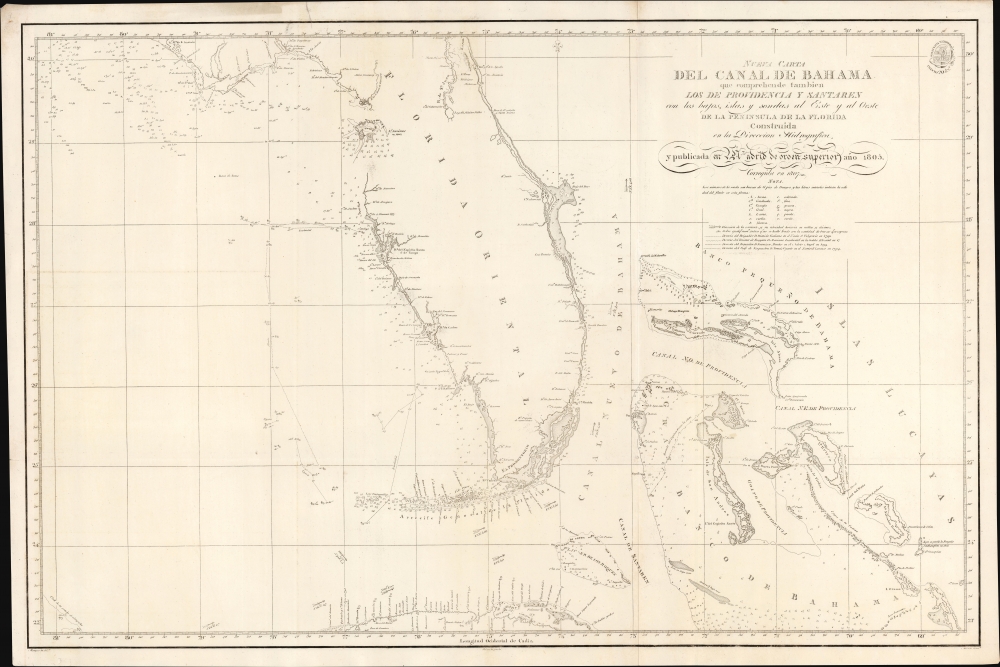
Early Spanish nautical mapping of Florida.
$5,000.00
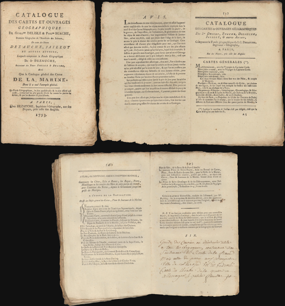
Challenges of mapmaking during the French Revolution.
$4,000.00
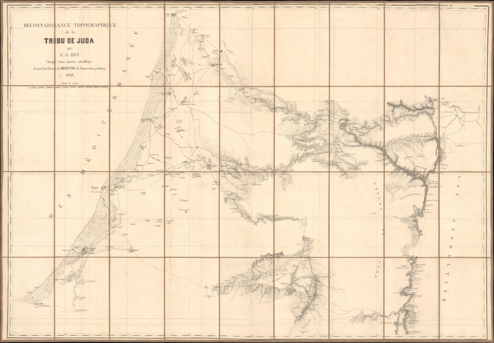
Scientific and Biblical Geography Meet.
$4,000.00
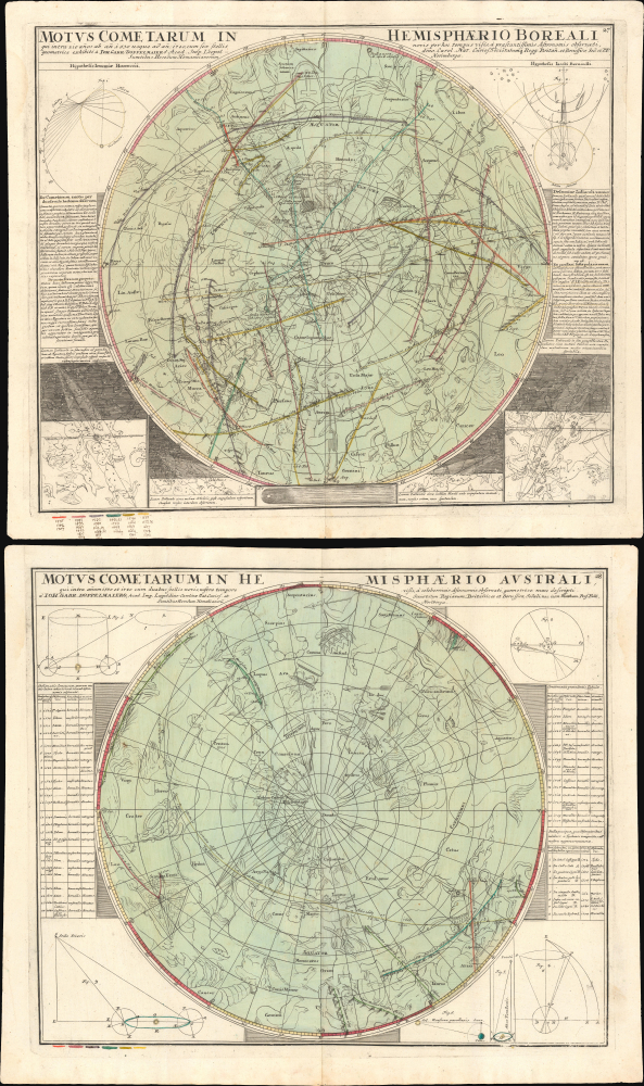
Comets Color Coded in Mansucript w/Marginalia.
$3,500.00
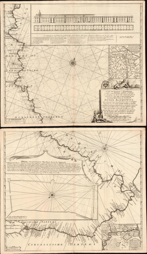
First scientific charting of the River Don, by Peter The Great's Handpicked Admiral.
$3,250.00
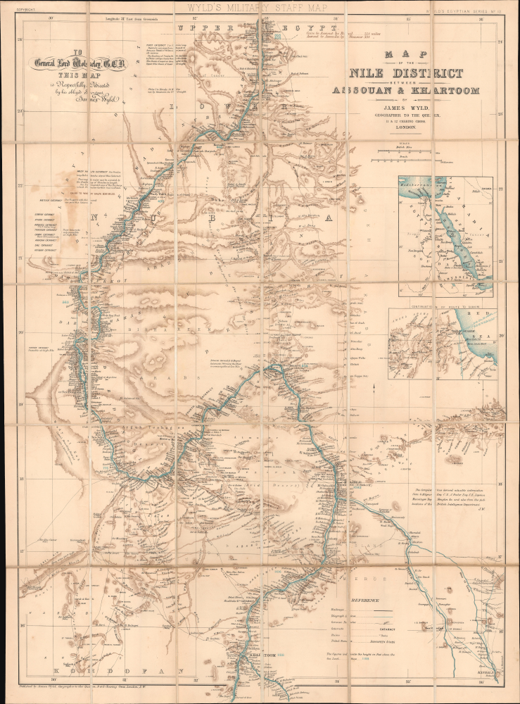
Rare Military Staff Map of the Nile Expedition.
$1,400.00
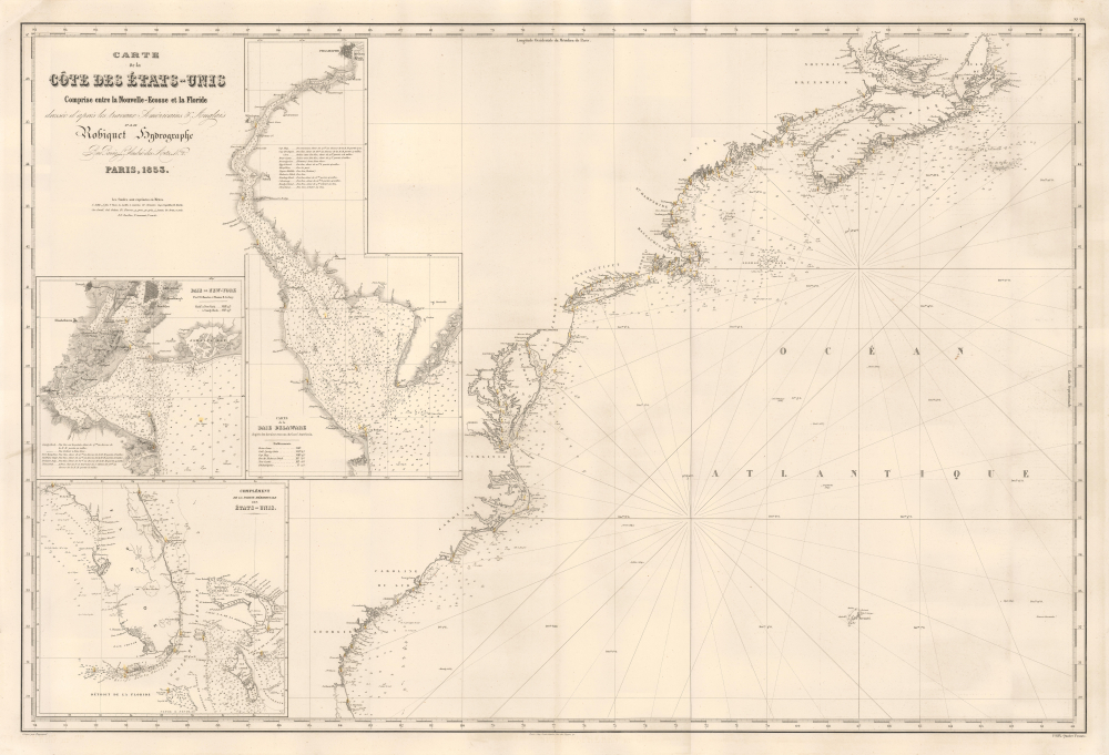
Finest mid-19th century French charting of the American East Coast.
$1,350.00
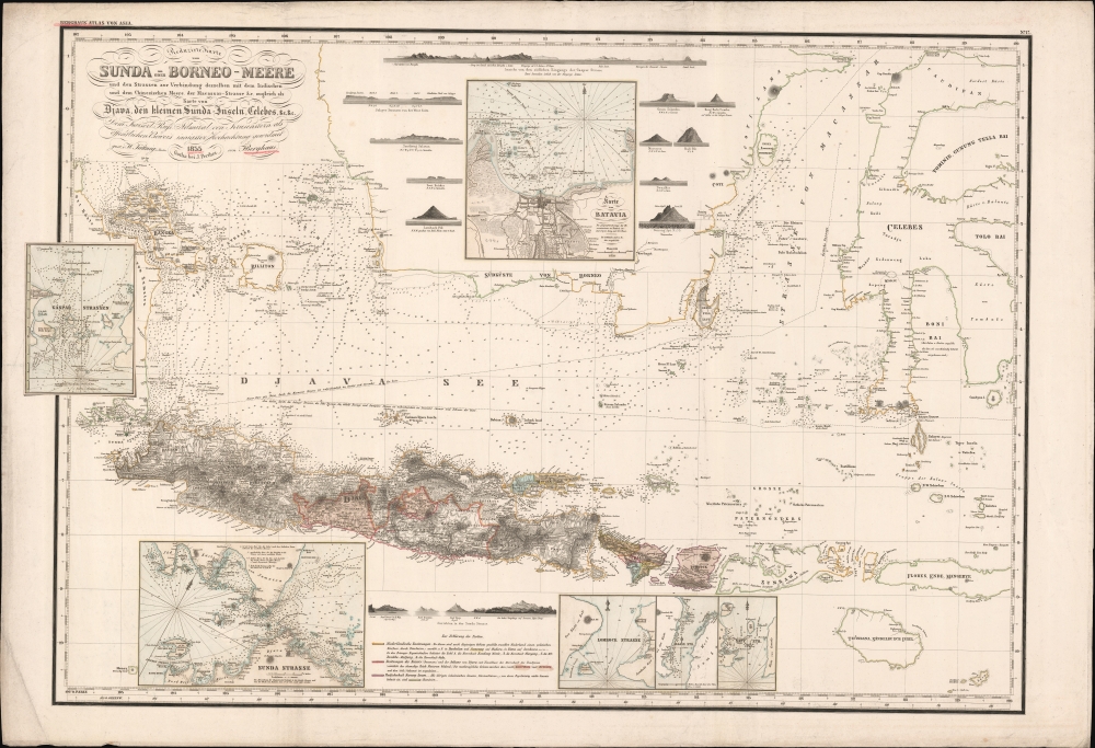
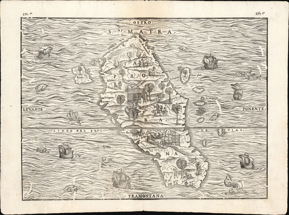
First separate map of any Southeast Asian island to be based on actual observation.' - Suarez
$1,250.00
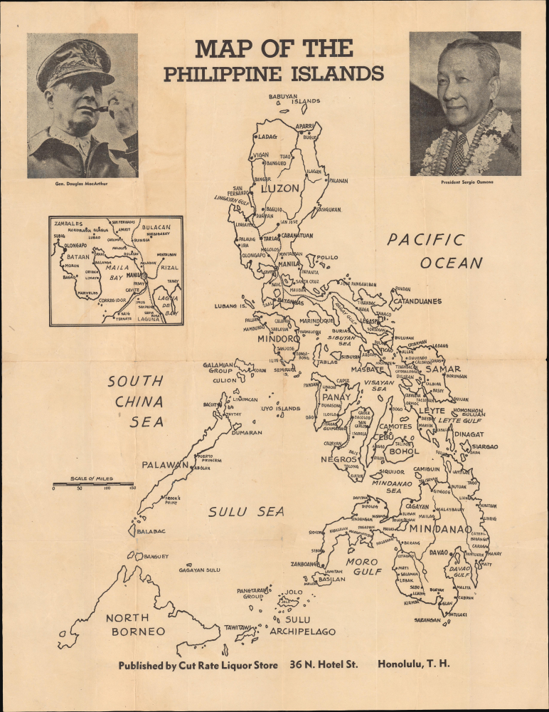
Celebrating the Liberation of the Philippines (with Cut Rate Liquor).
$1,200.00
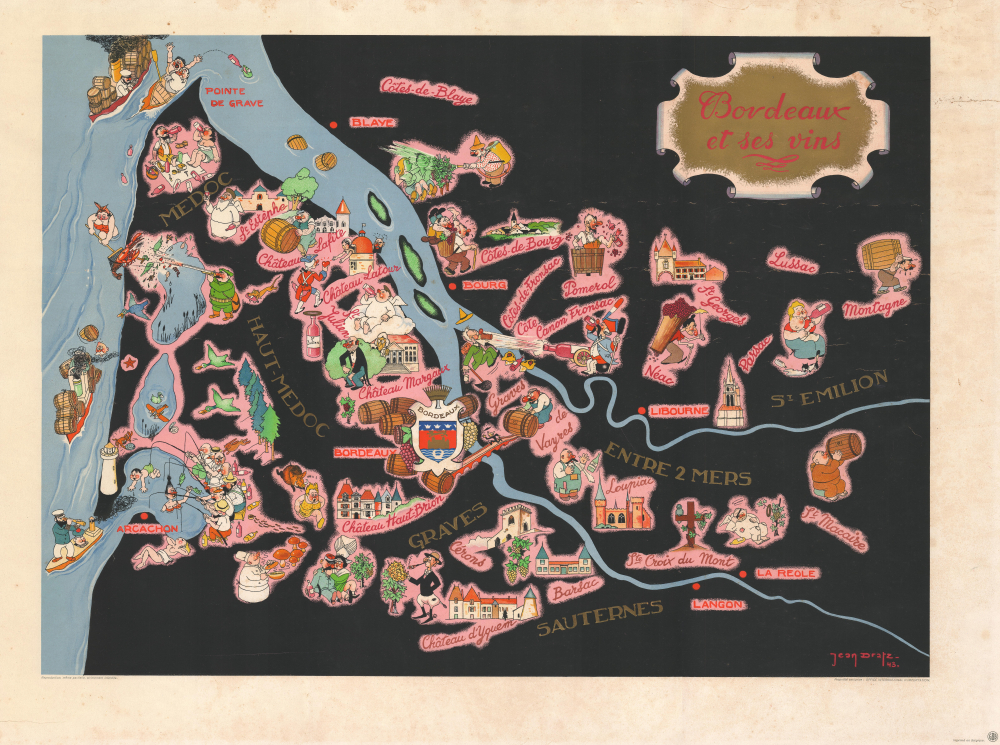
WWII Black market for French wine in Occupied Belgium.
$950.00
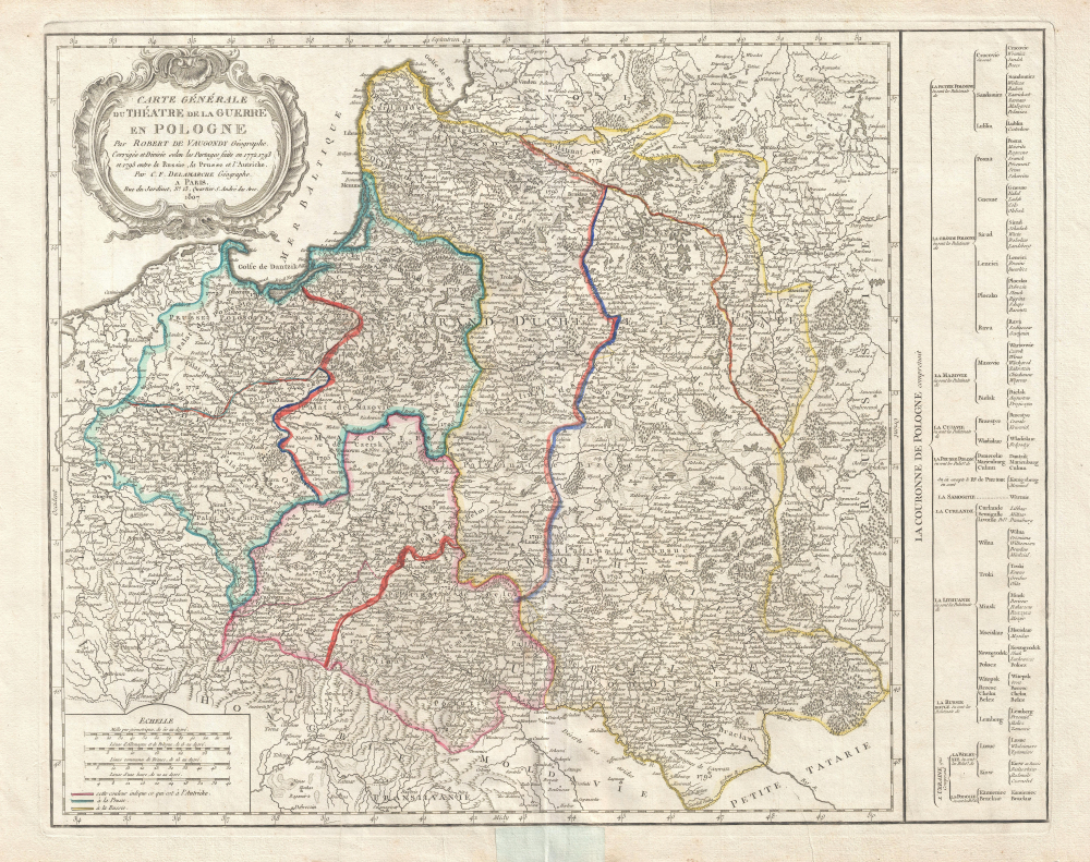
Partitioning and reconstituting Poland.
$750.00

