
Tunison, Henry (sold)

Henry Tunison (fl. c. 1886 – 1909) was a late 19th century American map publisher and businessman based in Illinois. Tunison published the Peerless Universal Atlas in various editions from 1886 to 1909. Unlike his competitors, the Rand McNally Company and George F. Cram, who printed low quality atlases using printed color, Tunison utilized old world publishing techniques and distinctively vivid hand color to drive the sales of his popular atlas. Because of this, Tunison’s maps, though late of period, remain desirable among collectors. Little is certain regarding Tunison’s early life; however, it may be one Henry Tunison whose family immigrated to Illinois from New Jersey in 1838.
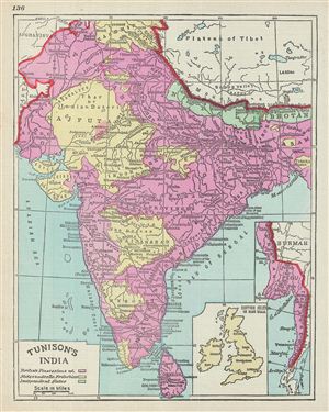
Tunison's India.
sold
- Digital Map Information
- Suitable for large format printing
- File Size: 4.99 MB
- File Type: ZIP / TIFF
- ICC color profile embedded
- Delivered instantly via download link
This is a beautiful example of the 1887 Tunison map of India. It covers the entire subcontinent from Kashmir south to Ceylon (Sri Lanka) and from Sindh east to Assam. An inset in the lower right quadrant details parts of modern day Burma. Another inset near the ... (more details)
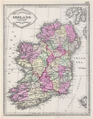
Tunison's Ireland.
sold
- Digital Map Information
- Suitable for large format printing
- File Size: 6.39 MB
- File Type: ZIP / TIFF
- ICC color profile embedded
- Delivered instantly via download link
This is a beautiful example of the 1887 Tunison map of Ireland. The map covers the emerald Isle in full from Donegal to Cork. Ireland is divided into its four primary provinces, Munster, Ulster, Connaught and Leinster. During the 19th century, Ireland suffered ... (more details)
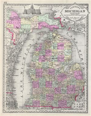
Tunison's Michigan.
sold
- Digital Map Information
- Suitable for large format printing
- File Size: 6.84 MB
- File Type: ZIP / TIFF
- ICC color profile embedded
- Delivered instantly via download link
This is a beautiful example of the 1887 Tunison map of Michigan. It covers the state of Michigan from Marquette to Monroe excluding the northwest part of the state. The map also covers parts of neighboring Wisconsin. A beautiful illustration of the state ... (more details)
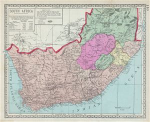
South Africa.
sold
- Digital Map Information
- Suitable for large format printing
- File Size: 5.56 MB
- File Type: ZIP / TIFF
- ICC color profile embedded
- Delivered instantly via download link
This is a beautiful example of the 1882 Tunison map of South Africa. It covers South Africa including Basutoland (Kingdom of Lesotho). Various Gold and Diamond Fields are identified. After the discovery of diamonds in 1867 and gold in 1884, colonial ... (more details)
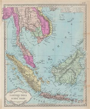
Tunison's Farther India and Sunda Isles.
sold
- Digital Map Information
- Suitable for large format printing
- File Size: 6.61 MB
- File Type: ZIP / TIFF
- ICC color profile embedded
- Delivered instantly via download link
This is a beautiful example of the 1887 Tunison map of the east Indies. It covers from Burma in the extreme northwest to the West Nusa Tenggara islands in Indonesia. It includes the modern day countries of Burma, Thailand, Cambodia, Laos, Vietnam, ... (more details)
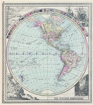
The Western Hemisphere.
sold
- Digital Map Information
- Suitable for large format printing
- File Size: 6.87 MB
- File Type: ZIP / TIFF
- ICC color profile embedded
- Delivered instantly via download link
This is a beautiful example of the 1887 Tunison map of the Western Hemisphere. It covers from the Arctic Ocean and Greenland south as far as the Antarctica. The map is surrounded by flags of various countries, including the United States, Japan, ... (more details)