
Brué, Adrien-Hubert (sold)
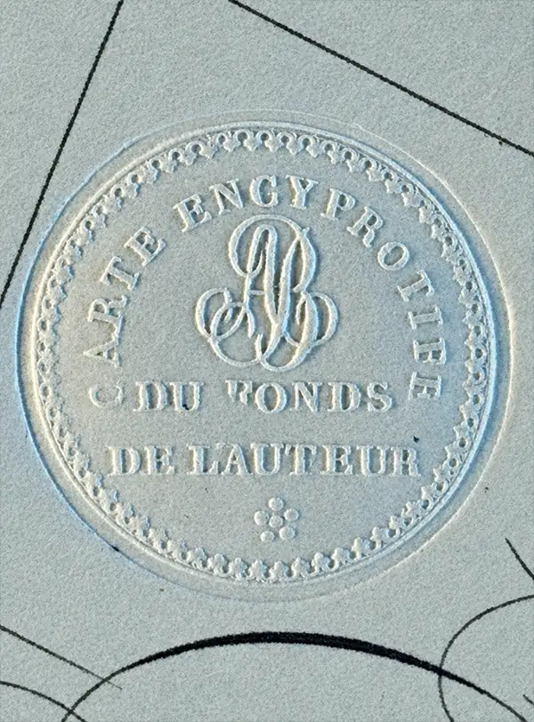
Adrien-Hubert Brué (March 20, 1786 – July 16, 1832) was a prominent French cartographer and geographer of the early 19th century. Born in Paris, Brué went to sea as a cabin boy at the age of twelve and, at fourteen, joined the Naturaliste, one of the two principal vessels of the Baudin Expedition (1800 - 1804) to the South Pacific. After returning to France, he devoted himself to cartography, earning distinction for the exceptional clarity, precision, and elegance of his maps. Brué drew many of his maps directly onto the copperplate, an innovative method he dubbed encyprotype. This technique produced exceptionally fine outlines, facilitated the careful revision of topography and relief, and allowed waterways to be differentiated by the weight of their engraved lines, making their relative importance immediately apparent. Brué eventually received the prestigious title Géographe du Roi, which he frequently appended to his signature, and in that capacity contributed to thousands of maps and numerous important atlases. Suffering from declining health, he retired to Sceaux, outside Paris, in search of cleaner air, but died there during the cholera epidemic of 1832. He was a member of the Central Commission of the Société de Géographie de Paris and an associate of the Geographical Society of London. Brué left numerous works unfinished at his death; several were published posthumously by his widow in 1834, before she transferred the business to Pierre-Jacques Picquet, son and successor of Brué's former associate Charles Picquet (1771 - 1827). Brué's maps continued to be revised and republished for decades, attesting to their enduring authority and commercial importance.
'The Fifth Part of the World'.
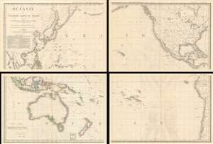
Océanie ou Cinquième Partie du Monde Comprenant L'Archipel d'Asie, L'Australasie et la Polynésie (ou le Continent de la Nouvelle-Hollande et les Îles du Grand Ocean.) en outre Une Grande Partie de L'Amérique et des Còtes de L'Asie.
sold
- Digital Map Information
- Suitable for large format printing
- Full resolution TIFF file
- ICC color profile embedded
- Delivered instantly via download link
A striking large scale 1814 map of the Pacific by Adrian-Hubert Brué. This is one of the earliest general maps of the Pacific to be offered commercially - partially responsible for introducing the vastness of Oceania to the general European public. It is moreover the first map to coin the term Océanie for the Pacific Islands - previously it was known as Océanique. (more details)
Exceptional boxed atlas.
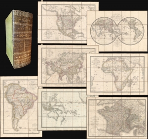
Atlas par H. Brue.
sold
- Digital Map Information
- Suitable for large format printing
- Full resolution TIFF file
- ICC color profile embedded
- Delivered instantly via download link
A remarkable cased 1827 atlas by Adrien-Hubert Brué. Housed in a handsome gilt-stamped leather case, the atlas features 8 dissected folding maps covering all parts of the world. (more details)
Beautifully crafted map cabinet for the gentleman's library.
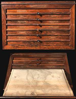
The Caiser Géographique or 'Geographical Locker' was issued by Charles Picquet and A. Brue. This wall mountable atlas is constructed of solid rosewood with masterful brass inlay. The box contains six spring loaded pulls, each attached to two maps, for a total of ... (more details)
Map exhiiting French interest in a California colony and the Republic of Texas.
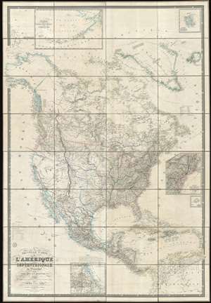
Nouvelle Carte de l'Amérique Septentrionale, du Groenland et des îles qui en dépendent.
sold
- Digital Map Information
- Suitable for large format printing
- DPI: 600
- File Size: 1001.97 MB
- File Type: ZIP / TIFF
- ICC color profile embedded
- Delivered instantly via download link
This is a spectacular and enormous 1843 French wall map of North America, including the Republic of Texas, dissected and on linen, issued by Adrien-Hubert Brué and Charles Picquet. The map represents an ephemeral historical period when France, coming out of the First French Intervention in Mexico, was seriously considering a colonizing play for California. With increased hegemony over Mexico, a mutually beneficial alliance with the Republic of Texas, and a potential colony in California, France was well positioned to push for dominance over all of western North America - inspiring considerable French enthusiasm and great interest in North America among the French populace. This map is perhaps the signal largest and most impressive cartographic statement of King Louis Phliippe ambitions of a new French empire in North America. While it may simply be chance, it is striking the light blue used to represent French properties is also used for Mexico, California, and Russian Alaska. (more details)
One of the only foreign language maps to identify and name the republic of Texas, not only on the map proper, but also in the title.
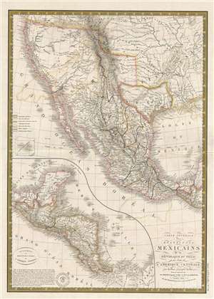
Carte générale des États-Unis Mexicains, de la République du Texas et des etats de l'Amérique Centrale.
sold
- Digital Map Information
- Suitable for large format printing
- DPI: 300
- File Size: 8.98 MB
- File Type: ZIP / TIFF
- ICC color profile embedded
- Delivered instantly via download link
An unusual find, this 1845 French map by Adrien Hubert Brué is one of the only foreign language maps to identify and name the republic of Texas, not only on the map proper, but also in the title. The map is centered the Republic of Texas, which is outlined and ... (more details)
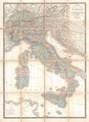
Carte Physique et Politique de L'Italie dela Region des Alpes et des ProvincesAutrichiennes sur L'Adriatique.
sold
- Digital Map Information
- Suitable for large format printing
- File Size: 7.69 MB
- File Type: ZIP / TIFF
- ICC color profile embedded
- Delivered instantly via download link
This is A. Brue's c. 1870 map of Italy. Covers the entire peninsula of Italy including the Sicily, Corsica and Sardinia. Extends north to include Switzerland and parts of Austria and Bavaria. Shows shipping routes between Italy and North Africa, as well as ... (more details)