
Stansbury, Howard (sold)
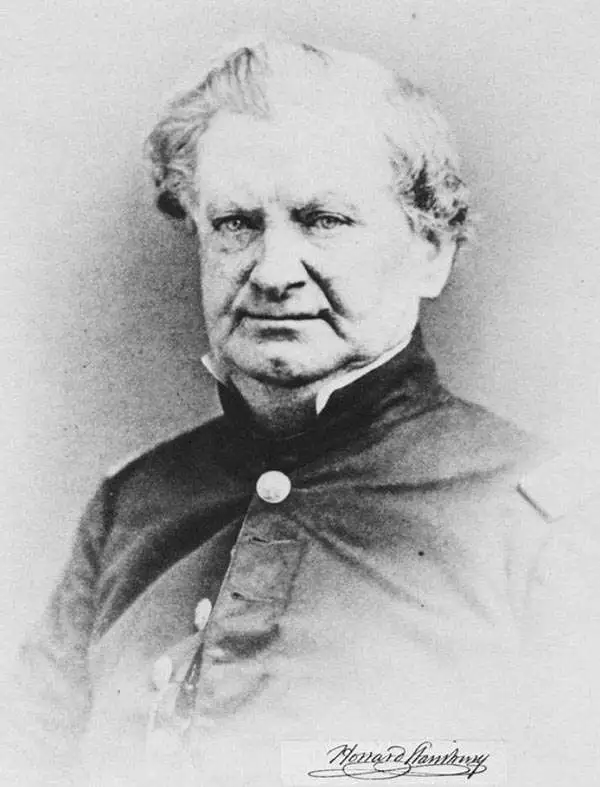
Howard Stansbury (February 8, 1806 - April 13, 1863) was an important surveyor, cartographer, and explorer who did his most important work in Utah during the middle part of the 19th century. Born in New York City, Stansbury trained to be a Civil Engineer. Shortly after getting married to Helen Moody of Detroit in 1827, Stansbury took a position with the United States Topographical Bureau. Under that organization, he surveyed the James River in 1836 and the Illinois and Kaskaskia Rivers in 1837. In 1838, he oversaw the construction of a road from Milwaukee to the Mississippi River. Later in 1838, when the U.S Corps of Topographical Engineers was created, he joined as a first Lieutenant. With the Topographical Engineers, he surveyed the Great Lakes, the harbor of Portsmouth, New Hampshire, and constructed Florida's Carysfort Reef Lighthouse. During the Mexican-American War (1846 - 1848), he constructed fortifications in the Dry Tortugas at the westernmost point on the Florida Keys. Upon achieving the rank of Captain, Stansbury received a commission to head a survey of the Great Basin that would ultimately become the crowning achievement of his career. His assignment was to survey the emigrant trails to California, including the Oregon Trail, as well as the Great Salt Lake, and report on the status of the growing Mormon Community in Salt Lake City. Working with J. W. Gunnison and Alfred Carrington, a Mormon scout, Stansbury produced a masterful survey of the region that had a lasting effect not only on the development of the Great Basin but on the development of the West in general. Upon completion of his survey, Stansbury set out on the road to Washington, completing another important survey in the process. On the way, he fell off his horse, taking an injury from which he never fully recovered. Following the presentation of his report to Congress, Stansbury was charged with additional survey work around the Great Lakes. Upon the outbreak of the American Civil War, he was assigned to recruitment duties in Ohio and later Wisconsin. Shortly after starting work at this post, he suffered an abrupt heart attack and passed away. He is buried in St. Paul, Minnesota.
A highly detailed map of the Pacific Northwest that predates the establishment of the Oregon Territory.

Map of the United States Territory of Oregon West of the Rocky Mountains, Exhibiting the various Trading Depots or Forts occupied by the British Hudson Bay Company, connected with the Western and northwestern Fur Trade.
sold
- Digital Map Information
- Suitable for large format printing
- DPI: 300
- File Size: 10.56 MB
- File Type: ZIP / TIFF
- ICC color profile embedded
- Delivered instantly via download link
This is an important and scarce 1838 map of the Oregon Territory by Captain Washington Hood. Prepared to 'illustrate the report of Senator Linn on a Bill to authorize the President to occupy the Oregon Territory', this map covers present day Oregon, Washington, ... (more details)
Landmark map used in Congressional and International Debates.
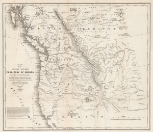
Map of the United States Territory of Oregon West of the Rocky Mountains, Exhibiting the various Trading Depots or Forts occupied by the British Hudson Bay Company, connected with the Western and northwestern Fur Trade.
sold
- Digital Map Information
- Suitable for large format printing
- DPI: 600
- File Size: 37.17 MB
- File Type: ZIP / TIFF
- ICC color profile embedded
- Delivered instantly via download link
This is the landmark 1838 map of the Oregon Territory by Captain Washington Hood, a founding member of the Corps of Topographical Engineers. This map was used for congressional debates of the status of the Oregon Territory, both regarding its position within the United States and in international disputes with Great Britain - the Oregon Question or 54°40′ Debate. (more details)
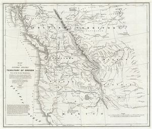
Map of the United States Territory of Oregon West of the Rocky Mountains, Exhibiting the various Trading Depots or Forts occupied by the British Hudson Bay Company, connected with the Western and northwestern Fur Trade.
sold
- Digital Map Information
- Suitable for large format printing
- Full resolution TIFF file
- ICC color profile embedded
- Delivered instantly via download link
This is an important and scarce 1838 map of the Oregon Territory by Captain Washington Hood. Prepared to 'illustrate the report of Senator Linn on a Bill to authorize the President to occupy the Oregon Territory,' this map covers present day Oregon, Washington, ... (more details)
1852 Stansbury Map of the Great Salt Lake to Fort Leavenworth Route (Colorado, Utah, Wyoming, Kansas
A seminal mapping of the emigrant roads west.
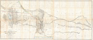
Map of a Reconnoissance between Fort Levenworth and the Missouri River, and the Great Salt Lake in the Territory of Utah, made in 1849 and 1850 …
sold
- Digital Map Information
- Suitable for large format printing
- DPI: 300
- File Size: 51.86 MB
- File Type: ZIP / TIFF
- ICC color profile embedded
- Delivered instantly via download link
It had been a daring feat of exploration, succeeding where the mountain men had all failed, and by means of his map ... Stansbury had painted at least one more bold stroke into the unfinished portrait of the national landscape. - William Goetzmann This ... (more details)
“Scientific cartography of the Territory of Utah may be said to date from the appearance of this map”-C. I. Wheat
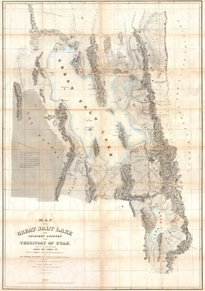
Map of the Great Salt Lake and Adjacent Country in the Territory of Utah.
sold
- Digital Map Information
- Suitable for large format printing
- DPI: 300
- File Size: 41.47 MB
- File Type: ZIP / TIFF
- ICC color profile embedded
- Delivered instantly via download link
It had been a daring feat of exploration, succeeding where the mountain men had all failed, and by means of his map of the western portion of the lake, Stansbury had painted at least one more bold stroke into the unfinished portrait of the national ... (more details)
“Scientific cartography of the Territory of Utah may be said to date from the appearance of this map”-C. I. Wheat
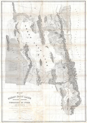
Map of the Great Salt Lake and Adjacent Country in the Territory of Utah.
sold
- Digital Map Information
- Suitable for large format printing
- Full resolution TIFF file
- ICC color profile embedded
- Delivered instantly via download link
It had been a daring feat of exploration, succeeding where the mountain men had all failed, and by means of his map of the western portion of the lake, Stansbury had painted at least one more bold stroke into the unfinished portrait of the national ... (more details)
Surveying the Great Salt Lake.
Map of the Great Salt Lake and Adjacent Country in the Territory of Utah.
sold
- Digital Map Information
- Suitable for large format printing
- Full resolution TIFF file
- ICC color profile embedded
- Delivered instantly via download link
An iconic map of the American West, this is a beautiful presentation edition of Howard Stansbury's crucial mapping of the Great Salt Lake, the earliest accurate survey of the region. Originally published in 1852 as part of the Stansbury Report presented to the U.S. Congress that year, the present example is mounted on linen and folds into a case, as it was intended for a member of Congress. This is, hands down, the finest example we've seen of this map, and if you're considering it for your collection, this is the one you want. (more details)
Early surveying expedition to the American West.
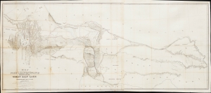
Map of a Reconnaissance between Fort Leavenworth and the Missouri River, and the Great Salt Lake in the Territory of Utah, made in 1849 and 1850…
sold
- Digital Map Information
- Suitable for large format printing
- File Size: 35.01 MB
- File Type: ZIP / TIFF
- ICC color profile embedded
- Delivered instantly via download link
This is Howard Stansbury's seminal 1852 map of the lands between Fort Leavenworth, Kansas, and Pilot Peak (now Nevada), west of the Great Salt Lake. It was published as part of the Stansbury Report presented to the U.S. Congress. (more details)
Early surveying expedition to the American West.
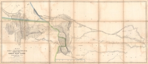
Map of a Reconnaissance between Fort Leavenworth and the Missouri River, and the Great Salt Lake in the Territory of Utah, made in 1849 and 1850…
sold
- Digital Map Information
- Suitable for large format printing
- Full resolution TIFF file
- ICC color profile embedded
- Delivered instantly via download link
A monumental map, matching the landscape it depicts, this is Howard Stansbury's seminal map of the lands between Fort Leavenworth, Kansas, and Pilot Peak (now Nevada), west of the Great Salt Lake. Originally published in 1852 as part of the Stansbury Report presented to the U.S. Congress that year, the present example is mounted on linen and folds into a case, as it was intended for a member of Congress. This is hand-down the finest example we've seen of this map, and if you are considering it for your collection, this is the one you want. (more details)
A seminal mapping of the emigrant roads west.
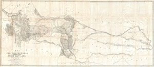
Map of a Reconnoissance between Fort Levenworth and the Missouri River, and the Great Salt Lake in the Territory of Utah, made in 1849 and 1850 …
sold
- Digital Map Information
- Suitable for large format printing
- DPI: 300
- File Size: 55.59 MB
- File Type: ZIP / TIFF
- ICC color profile embedded
- Delivered instantly via download link
It had been a daring feat of exploration, succeeding where the mountain men had all failed, and by means of his map ... Stansbury had painted at least one more bold stroke into the unfinished portrait of the national landscape. - William ... (more details)
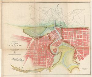
Survey of the Harbor of Cleveland Ohio.
sold
- Digital Map Information
- Suitable for large format printing
- File Size: 10.1 MB
- File Type: ZIP / TIFF
- ICC color profile embedded
- Delivered instantly via download link
This is an uncommon example of the Howard Stansbury's 1853 topographical survey map of the Cleveland Harbor, Ohio. The map covers the city of Cleveland from Monroe Street (Monroe Ave) to Front Street (Front Ave) and shows soundings in ... (more details)
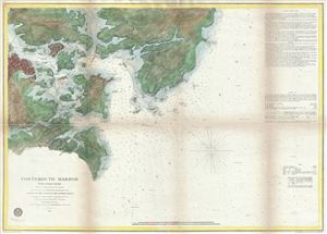
Portsmouth Harbor New Hampshire
sold
- Digital Map Information
- Suitable for large format printing
- File Size: 14.68 MB
- File Type: ZIP / TIFF
- ICC color profile embedded
- Delivered instantly via download link
This is a beautiful example of the U.S. Coast Survey's 1866 nautical chart or maritime map of Portsmouth Harbor, New Hampshire. It covers the city of Portsmouth, New Hampshire, and its vicinity from Odiornes Point and Sagamore Creek to ... (more details)
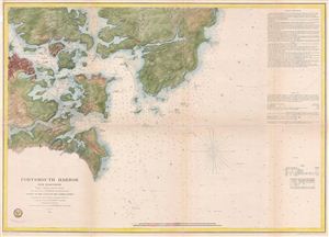
Portsmouth Harbor New Hampshire.
sold
- Digital Map Information
- Suitable for large format printing
- File Size: 15.56 MB
- File Type: ZIP / TIFF
- ICC color profile embedded
- Delivered instantly via download link
A beautiful example of the U.S. Coast Survey's 1866 nautical chart or maritime map of Portsmouth Harbor, New Hampshire. This map covers the city of Portsmouth, New Hapshire, and its vicinity from Odiornes Point and Sagamore Creek to ... (more details)
Scarce separate issue nautical chart of Portsmouth Harbor, New Hampshire.
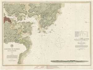
Portsmouth Harbor New Hampshire.
sold
- Digital Map Information
- Suitable for large format printing
- File Size: 16.85 MB
- File Type: ZIP / TIFF
- ICC color profile embedded
- Delivered instantly via download link
This is a beautiful example of the U.S. Coast Survey's 1878 nautical chart or maritime map of Portsmouth Harbor, New Hampshire. It covers the city of Portsmouth, New Hampshire, and its vicinity from Odiornes Point and Sagamore Creek ... (more details)