

Bethlehem
sold
- Digital Map Information
- Suitable for large format printing
- DPI: 300
- File Size: 8.92 MB
- File Type: ZIP / TIFF
- ICC color profile embedded
- Delivered instantly via download link
A rare 1698 view of Bethlehem by Dutch artist Cornelius de Bruijin. Depicts the city as well as the nearby herding grounds. Arab horsemen, loungers, and a hunting dog roam in the foreground. This view was most likely rendered in secret during de Bruijin's second ... (more details)

Rama
sold
- Digital Map Information
- Suitable for large format printing
- DPI: 300
- File Size: 9 MB
- File Type: ZIP / TIFF
- ICC color profile embedded
- Delivered instantly via download link
A rare 1698 view of Rama by Dutch artist Cornelius de Bruijin. Depicts the city as well as the nearby caravan staging grounds. Arab horsemen and tent camps decorate the foreground. This view was most likely rendered in secret during de Bruijin's second world ... (more details)
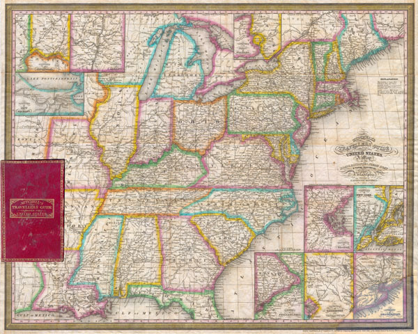
Mitchell's Travellers Guide Through The United States.
sold
- Digital Map Information
- Suitable for large format printing
- Full resolution TIFF file
- ICC color profile embedded
- Delivered instantly via download link
A rare first edition (1832) of Mitchell's ‘Travellers' Guide to the United States. Depicts the eastern half of the United States from Texas (Mexico at the time) and Missouri Territory eastward to the Atlantic. Includes only the northern part of Florida. ... (more details)
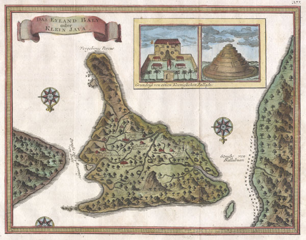
Das Eyland Baly oder Klein Java.
sold
- Digital Map Information
- Suitable for large format printing
- Full resolution TIFF file
- ICC color profile embedded
- Delivered instantly via download link
An extremely attractive little map of Bali, Indonesia, by French cartographer J. Nicholas Bellin. Depicts the island oriented to the south. Offers wonderful detail of the inland rivers and villages. Upper right quadrant features an inset of the Royal ... (more details)
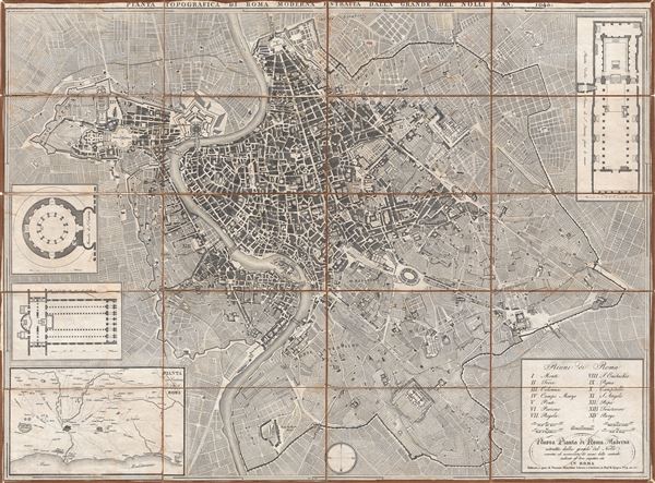
Nuova Pianta de Roma Moderna estratta dalla grand del Nolli corretta ed acccresciuta de nomi delle contrade indicati al loro rispettivo sito in Roma.
sold
- Digital Map Information
- Suitable for large format printing
- DPI: 300
- File Size: 38.34 MB
- File Type: ZIP / TIFF
- ICC color profile embedded
- Delivered instantly via download link
A fine and rare 1843 case format map of Rome, Italy by Venanzio Monaldini. This extraordinary map of Rome heavily references, with various updates and revisions, the seminal 1734 map of Rome by Giovanni Battista Nolli. Nolli's map was the first modern ... (more details)

Travellers Map of Long Island.
sold
- Digital Map Information
- Suitable for large format printing
- File Size: 5.64 MB
- File Type: ZIP / TIFF
- ICC color profile embedded
- Delivered instantly via download link
This is the exceedingly rare 1857 issue of Colton's folding map of Long Island. Depicts Long Island in full inclusive of Manhattan and the southern shore of Connecticut. Details the counties in red, green, yellow and blue pastels. Shows the progress ... (more details)
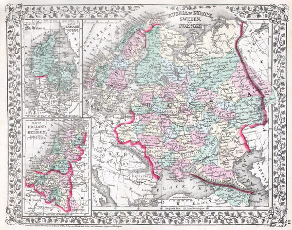
Russia in Europe, Sweden and Norway. Map of Denmark. Map of Holland and Belgium.
sold
- Digital Map Information
- Suitable for large format printing
- File Size: 3.79 MB
- File Type: ZIP / TIFF
- ICC color profile embedded
- Delivered instantly via download link
A beautiful example of the legendary American map publisher Samuel Augustus Mitchell Jr.'s 1872 map of Russia, Norway, Sweden, Holland Belgium and Denmark. Maps of Denmark, Holland and Belgium relegated to insets on the left hand side of the sheet. ... (more details)

Map of Brazil, Bolivia, Paraguay, and Uruguay. Map of Chili.
sold
- Digital Map Information
- Suitable for large format printing
- File Size: 3.81 MB
- File Type: ZIP / TIFF
- ICC color profile embedded
- Delivered instantly via download link
A beautiful example of the legendary American map publisher Samuel Augustus Mitchell Jr.'s 1872 map of Brazil, Bolivia, Paraguay, Uruguay and Chili. The map is divided into two parts. The map on the left depicts chili with an inset map of the ... (more details)

Carte de L’Empire Chinois de Du Japon 1836.
sold
- Digital Map Information
- Suitable for large format printing
- Full resolution TIFF file
- ICC color profile embedded
- Delivered instantly via download link
This is a beautiful 1836 Hand colored map of China and Chapan. Includes Tartary and the Mongol Empire. All text is in ... (more details)

Carte de L’Allemagne par Cercles en 1789.
sold
- Digital Map Information
- Suitable for large format printing
- Full resolution TIFF file
- ICC color profile embedded
- Delivered instantly via download link
This is a beautiful 1837 hand colored map of Northern Germany includes the regions of Hanover, Saxony, Hungary, ... (more details)

Carte Physique et Mineralogiquedes iles Brittanique…
sold
- Digital Map Information
- Suitable for large format printing
- Full resolution TIFF file
- ICC color profile embedded
- Delivered instantly via download link
This is a beautiful 1837 copperplate lithograph map of the British Isles, including England, Scotland and ... (more details)
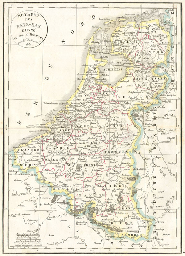
Royaume des Pays-bas divise en ses 18 Provinces.
sold
- Digital Map Information
- Suitable for large format printing
- Full resolution TIFF file
- ICC color profile embedded
- Delivered instantly via download link
This hand colored map is a copper plate engraving, dating to 1832 by the well known French mapmaker ... (more details)
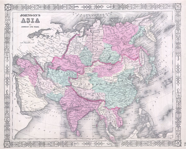
Johnson’s Asia
$100.00
Acquire
- Digital Map Information
- Suitable for large format printing
- File Size: 3.56 MB
- File Type: ZIP / TIFF
- ICC color profile embedded
- Delivered instantly via download link
This is Johnson and Ward's 1864 map of Asia. Covers the entire continent offering good inland ... (more details)

Ancient Italy
sold
- Digital Map Information
- Suitable for large format printing
- Full resolution TIFF file
- ICC color profile embedded
- Delivered instantly via download link
This is an 1845 Map of Italy in the days of the Roman Empire. Political divisions are defined ... (more details)

County Map of Ohio and Indiana.
sold
- Digital Map Information
- Suitable for large format printing
- Full resolution TIFF file
- ICC color profile embedded
- Delivered instantly via download link
This hand colored map is a steel plate engraving, dating to 1860, by the legendary American ... (more details)
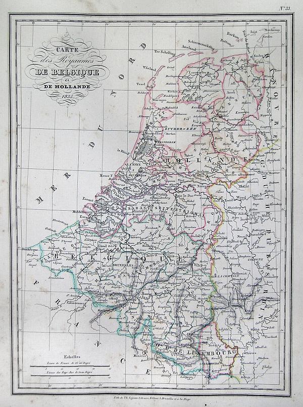
Carte des Royaumes de Belgique et de Hollande 1835.
sold
- Digital Map Information
- Suitable for large format printing
- Full resolution TIFF file
- ICC color profile embedded
- Delivered instantly via download link
This is a beautiful 1835 hand colored map of Belgium and Holland. Includes Luxembourg. All ... (more details)
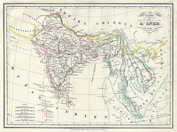
Carte de L'Inde.
sold
- Digital Map Information
- Suitable for large format printing
- Full resolution TIFF file
- ICC color profile embedded
- Delivered instantly via download link
This is a beautiful 1837 copperplate lithograph map of India and Southeast Asia by French ... (more details)

Empire des Mongols.
sold
- Digital Map Information
- Suitable for large format printing
- Full resolution TIFF file
- ICC color profile embedded
- Delivered instantly via download link
This is a beautiful 1837 hand colored map Europe and Asia under the domino of the Mongol ... (more details)
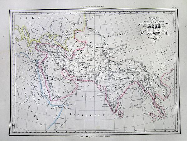
Asia Ancienne 1833.
$90.00
Acquire
- Digital Map Information
- Suitable for large format printing
- Full resolution TIFF file
- ICC color profile embedded
- Delivered instantly via download link
This beautiful 1833 hand colored map depicts Asia in Ancient times. Extends only as far ... (more details)

Johnson’s Sweden and Norway. / Johnson’s Denmark with Sleswick & Holstein.
sold
- Digital Map Information
- Suitable for large format printing
- File Size: 10.73 MB
- File Type: ZIP / TIFF
- ICC color profile embedded
- Delivered instantly via download link
This is a magnificent 1865 hand colored map Scandinavia is divided into two parts. The ... (more details)