
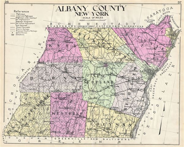
Albany County New York.
sold
- Digital Map Information
- Suitable for large format printing
- File Size: 21.21 MB
- File Type: ZIP / TIFF
- ICC color profile embedded
- Delivered instantly via download link
A highly appealing 1912 large format folio map of Albany County, New York, issued for the New Century Atlas of Counties of the State of New York . The map covers the west side of the Hudson River from Cohoes to Coeymans, including Colonie, Albany, Bethlehem, New ... (more details)
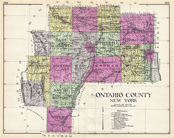
Ontario County New York.
sold
- Digital Map Information
- Suitable for large format printing
- File Size: 21.8 MB
- File Type: ZIP / TIFF
- ICC color profile embedded
- Delivered instantly via download link
A highly appealing 1912 large format folio map of Oneida County, New York, issued for the New Century Atlas of Counties of the State of New York . Centered on Canandaigua Lake, the map covers the county lying between the Seneca and hemlock Lakes from Canadice to ... (more details)

Oswego County New York.
sold
- Digital Map Information
- Suitable for large format printing
- File Size: 22.61 MB
- File Type: ZIP / TIFF
- ICC color profile embedded
- Delivered instantly via download link
A highly appealing 1912 large format folio map of Oswego County, New York, issued for the New Century Atlas of Counties of the State of New York . The map covers southeast side of Lake Ontario from Sandy Creek to Oswego, including Hannibal, Granby, Scriba, ... (more details)
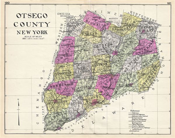
Otsego County New York.
sold
- Digital Map Information
- Suitable for large format printing
- File Size: 20.75 MB
- File Type: ZIP / TIFF
- ICC color profile embedded
- Delivered instantly via download link
A highly appealing 1912 large format folio map of Ostego County, New York, issued for the New Century Atlas of Counties of the State of New York . The map covers from Plainfield to Unadilla, including Richfield, Springfield, Cherry Valley, Roseboom, ... (more details)
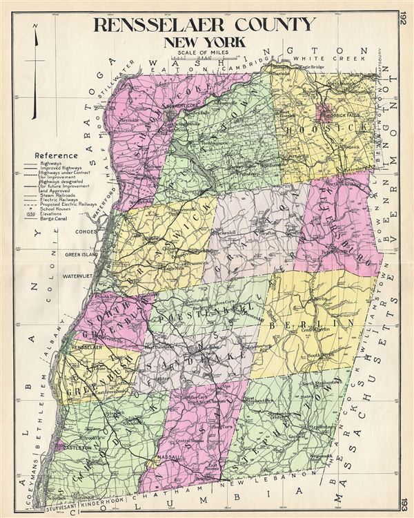
Rensselaer County New York.
sold
- Digital Map Information
- Suitable for large format printing
- File Size: 21.33 MB
- File Type: ZIP / TIFF
- ICC color profile embedded
- Delivered instantly via download link
A highly appealing 1912 large format folio map of Rensselaer County, New York, issued for the New Century Atlas of Counties of the State of New York . The map covers the east side of the Hudson River from Schaghticoke to Schodach, including Nassau, ... (more details)
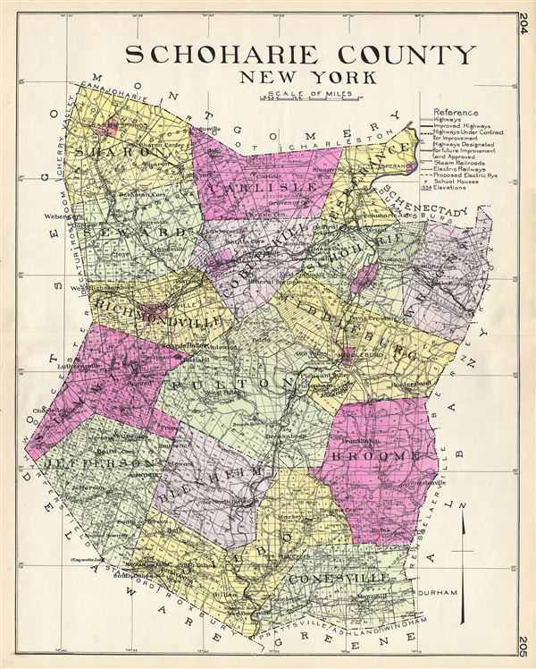
Schoharie County New York.
sold
- Digital Map Information
- Suitable for large format printing
- File Size: 23.77 MB
- File Type: ZIP / TIFF
- ICC color profile embedded
- Delivered instantly via download link
A highly appealing 1912 large format folio map of Schoharie County, New York, issued for the New Century Atlas of Counties of the State of New York . The map covers from Sharon to Gilboa, including Carlisle, Seward, Richmondville, Summit, ... (more details)

Seneca County New York.
sold
- Digital Map Information
- Suitable for large format printing
- File Size: 20.98 MB
- File Type: ZIP / TIFF
- ICC color profile embedded
- Delivered instantly via download link
A highly appealing 1912 large format folio map of Seneca County, New York, issued for the New Century Atlas of Counties of the State of New York . The map covers the county lying between the Seneca and Cayuga Lakes from Junius and Tyre to ... (more details)
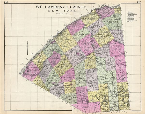
St. Lawrence County New York.
sold
- Digital Map Information
- Suitable for large format printing
- File Size: 22.6 MB
- File Type: ZIP / TIFF
- ICC color profile embedded
- Delivered instantly via download link
A highly appealing 1912 large format folio map of St. Lawrence County, New York, issued for the New Century Atlas of Counties of the State of New York . The map covers the southeast side of the St. Lawrence River which separated United ... (more details)
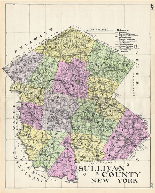
Sullivan County New York.
sold
- Digital Map Information
- Suitable for large format printing
- File Size: 24.77 MB
- File Type: ZIP / TIFF
- ICC color profile embedded
- Delivered instantly via download link
A highly appealing 1912 large format folio map of Sullivan County, New York, issued for the New Century Atlas of Counties of the State of New York . The map covers from Rockland to Lumberland, including Fremont, Delaware, Cochecton, ... (more details)
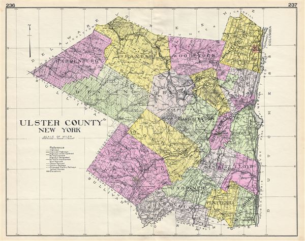
Ulster County New York.
sold
- Digital Map Information
- Suitable for large format printing
- File Size: 23.55 MB
- File Type: ZIP / TIFF
- ICC color profile embedded
- Delivered instantly via download link
A highly appealing 1912 large format folio map of Ulster County, New York, issued for the New Century Atlas of Counties of the State of New York . The map covers the west side of the Hudson River from Saugerties to Marlboro, ... (more details)
The most desirable and thorough 19th century Coast Survey chart of the Martha's Vineyard, Nantuckt, Buzzard Bay corridor.
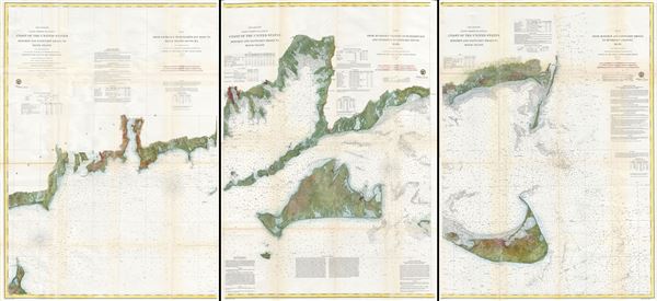
Preliminary Coast Charts Nos. 12, 13 & 14. Coast of the United States Monomoy and Nantucket Shoals to Block Island. / No. 14 From Entrace to Buzzard's Bay Mass. to Block Island Sound R.I. / No. 13 From Muskeget Channel to Buzzard's Bay and Engrance to Vineyard Sound Mass. / No. 12 From Monomoy and Nantucket Shoals to Muskeget Channel Mass.
sold
- Digital Map Information
- Suitable for large format printing
- File Size: 71.01 MB
- File Type: ZIP / TIFF
- ICC color profile embedded
- Delivered instantly via download link
A scarce and extraordinary set of three large format 1860 nautical charts covering from Block Island and Buzzard Bay eastward to include all of Martha's Vineyard (Marthas Vineyard) and Nantucket. This set consists of three ... (more details)
An important and often under appreciated 1744 map of French, English and Spanish claims in North America.
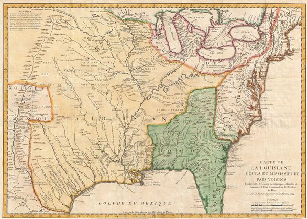
Carte de La Louisiane Cours du Mississipi et Pais Voisins.
sold
- Digital Map Information
- Suitable for large format printing
- Full resolution TIFF file
- ICC color profile embedded
- Delivered instantly via download link
An important and influential 1744 map of the settled portions of North America by the French cartographer Jacques-Nicholas Bellin. Centered on the Mississippi Valley, Bellin's map covers from the Riviere de Nord (Rio ... (more details)

Plan de Paris des Magasins du Bon Marche.
sold
- Digital Map Information
- Suitable for large format printing
- File Size: 23.83 MB
- File Type: ZIP / TIFF
- ICC color profile embedded
- Delivered instantly via download link
An attractive decorative c. 1893 map of Paris, France intended to promote the Magasins du Bon Marche . Centered on the Seine, this map covers the embastilled center of Paris showing all major roads, monuments, rail ... (more details)

The Up-To-Date Complete Map of Philadelphia and Vicinity.
sold
- Digital Map Information
- Suitable for large format printing
- File Size: 24.2 MB
- File Type: ZIP / TIFF
- ICC color profile embedded
- Delivered instantly via download link
An early 20th century pocket format city plan of Philadelphia issued by Royal Publishing in 1914. The map covers central Philadelphia from Fairmont Park to the Delaware River and from Bridesburg to McKean Street as ... (more details)
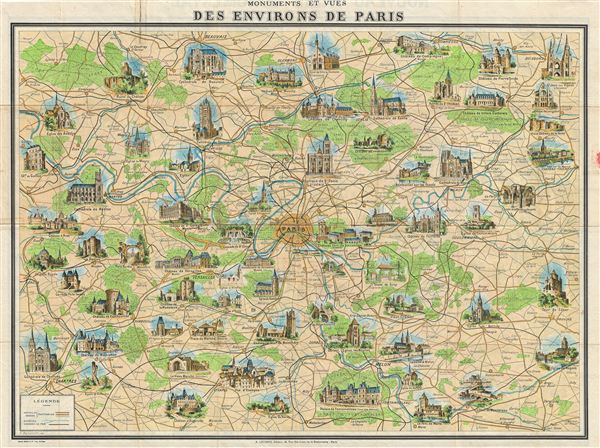
Monuments et Vues des Environs de Paris.
sold
- Digital Map Information
- Suitable for large format printing
- File Size: 25.94 MB
- File Type: ZIP / TIFF
- ICC color profile embedded
- Delivered instantly via download link
An attractive and decorative 1948 map of the environs of Paris by A. Leconte. Centered on Paris, the map extends roughly 50 miles in all directions, cover from Chartes to Soissons and from Fleury sur Andelle to ... (more details)

San Francisco and Vicinity Issued by the Southern Pacific.
sold
- Digital Map Information
- Suitable for large format printing
- File Size: 6.97 MB
- File Type: ZIP / TIFF
- ICC color profile embedded
- Delivered instantly via download link
An attractive pocket map or city plan of San Francisco, California, issued in 1914 by the Southern Pacific Railroad. The map covers the northern part of San Francisco Peninsula from Bellevue Street and Lake ... (more details)
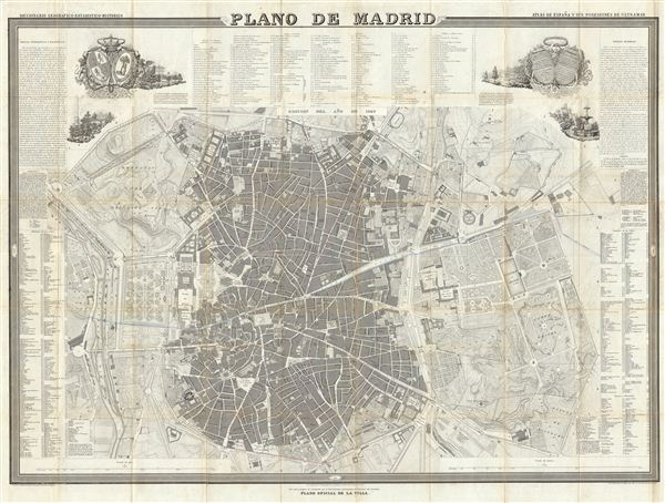
Plano de Madrid.
sold
- Digital Map Information
- Suitable for large format printing
- DPI: 300
- File Size: 52.26 MB
- File Type: ZIP / TIFF
- ICC color profile embedded
- Delivered instantly via download link
A fine example of Francisco Coello de Portugal y Quesada's massive map of Madrid, Spain. Coello's map is one of the finest and largest maps of Madrid to appear in the 19th century. Centered on the Puerta ... (more details)
Scarce first edition of the official map of Captain Cooks seminal discoveries in Alaska.
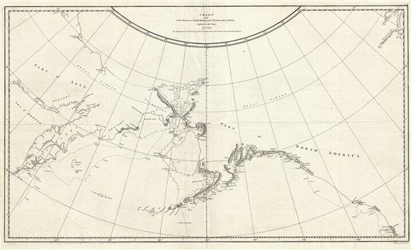
Chart of the N.W. Coast of America and N.E. Coast of Asia explored in the Years 1778 & 1779.
sold
- Digital Map Information
- Suitable for large format printing
- DPI: 300
- File Size: 13.79 MB
- File Type: ZIP / TIFF
- ICC color profile embedded
- Delivered instantly via download link
A scarce 1794 first edition example of the official record of Captain Cook's discoveries in the Pacific Northwest, Alaska, and the Behring Strait. The map covers the northeast part of Asia and the ... (more details)
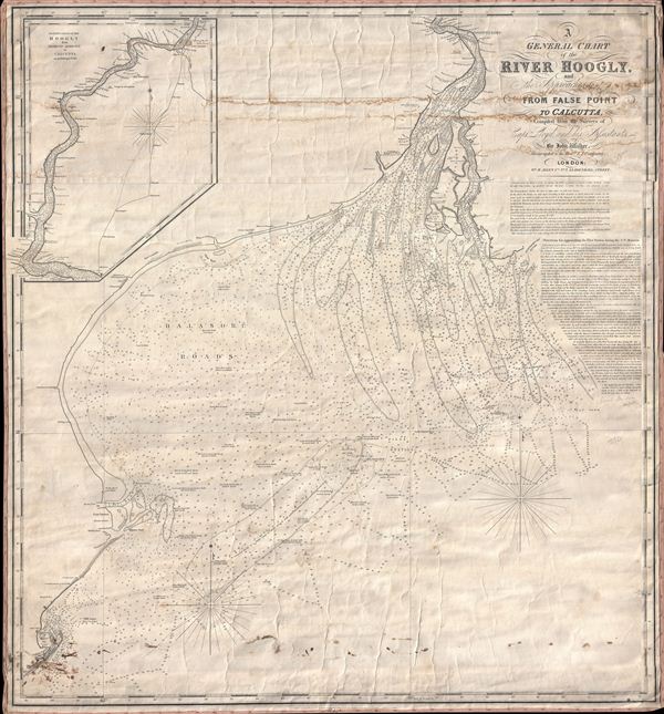
A General Chart of the River Hoogly and the Approaches to it from False Point to Calcutta, Compiled from the Surveys of Captn. Lloyd, and his Assistants, by John Walker.
sold
- Digital Map Information
- Suitable for large format printing
- DPI: 300
- File Size: 28.33 MB
- File Type: ZIP / TIFF
- ICC color profile embedded
- Delivered instantly via download link
A scarce 1850 blueback nautical chart of the Hooghly River, West Bengal, India by John Walker. The chart covers the mouth of The Hooghly and the Bay of Bengal as far a south as False Point. An ... (more details)
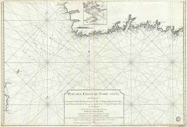
Plan des Cotes de Terre Neuve IIIe. Feuille Contenant la Partie Meridionale depuis les Iles de Bergeo jusqu au Cap de Raye, avec l'Entrée du Golfe de St. Laurent comprise entre ce Cap et le Cap de Nord de l'Ile Royale.
sold
- Digital Map Information
- Suitable for large format printing
- DPI: 300
- File Size: 32.57 MB
- File Type: ZIP / TIFF
- ICC color profile embedded
- Delivered instantly via download link
A scarce 1794 map of the southwest coast of Newfoundland, Canada, issued by the Depot de la Marine and surveyed by Captain Cook. This map, the third in this series, covers from Cape Anguille on ... (more details)