2026 Paris Map Fair - 25 Years - Paris
November 21, 2026. 11:00 - 6:00 PM
France's premier event for collectors and enthusiasts of antique cartography.
Kevin Brown — November 10, 2026
November 21, 2026. 11:00 - 6:00 PM
France's premier event for collectors and enthusiasts of antique cartography.
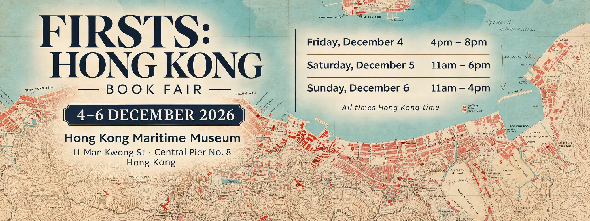
Friday, December 5 - Sunday, December 6, 2026
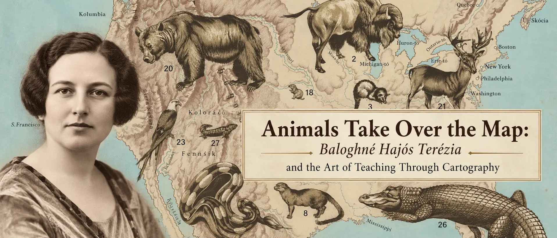
Baloghné Hajós Terézia, Pioneering Hungarian Educator Teaching Through Cartography
Enormous animals turn geography into discovery in the pictorial maps of Hungarian educator Baloghné Hajós Terézia. Explore how her remarkable animal maps and zoological atlas brought wildlife into the classroom, combining natural history, bold illustration, and cartography to spark curiosity about the world.
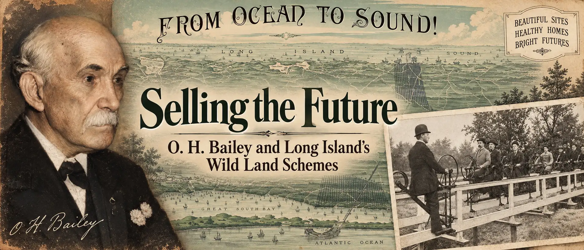
How bird’s-eye views helped turn Long Island wilderness into boomtowns, paper towns, and some of the Gilded Age’s most audacious real-estate schemes.
In the late 19th century, speculative developers transformed vast stretches of Long Island into thousands of building lots—at least on paper. This article explores how promoters used spectacular bird’s-eye views, many associated with O. H. Bailey, to sell an enticing vision of new towns and suburban prosperity that sometimes became reality, and sometimes amounted to little more than an elaborate land scam.
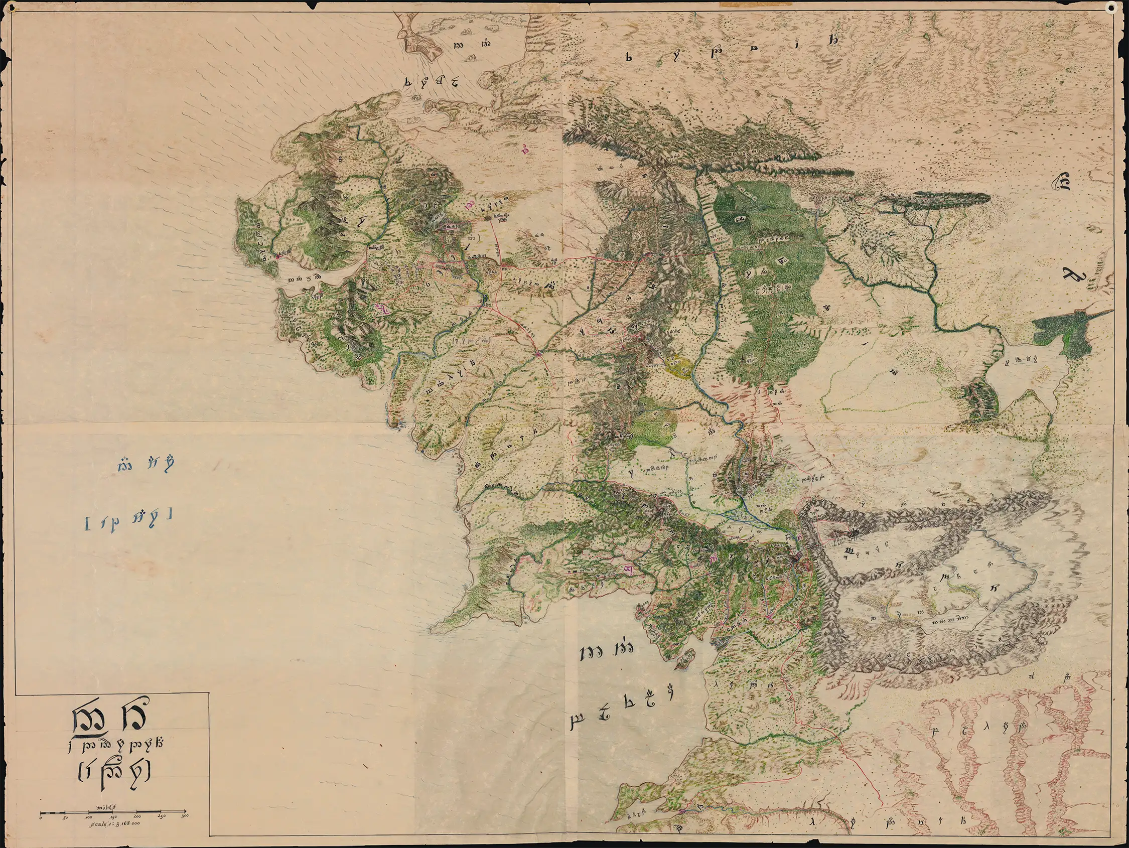
Massive Cartographic Analysis of Middle-earth
Mysterious Map of Middle-earth: How an Anonymous 1960s-70s cartographer applied the techniques of 18th-Century exploratory mapmaking - analyzing fragmentary accounts, reconciling clues, and applying geographical theories - to interpret Tolkien's world.