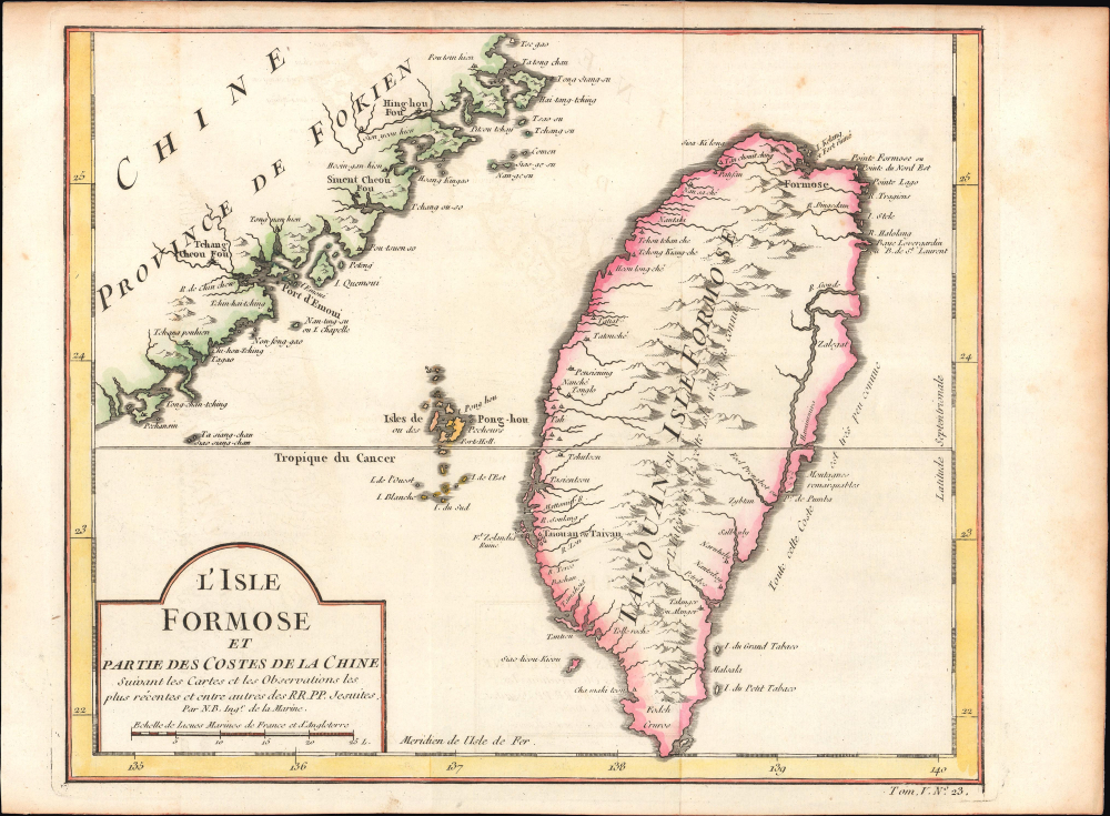
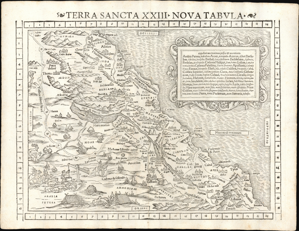
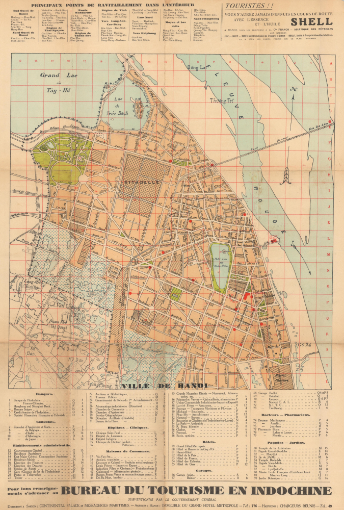
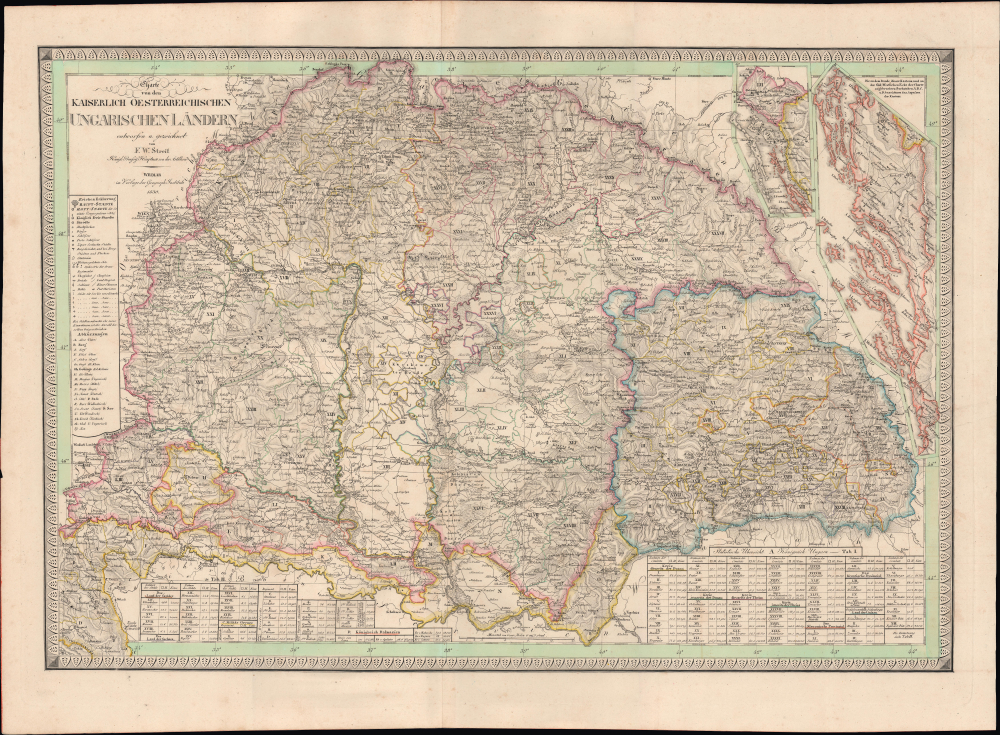
Most recently added antique and rare maps as of 7/18/2025.
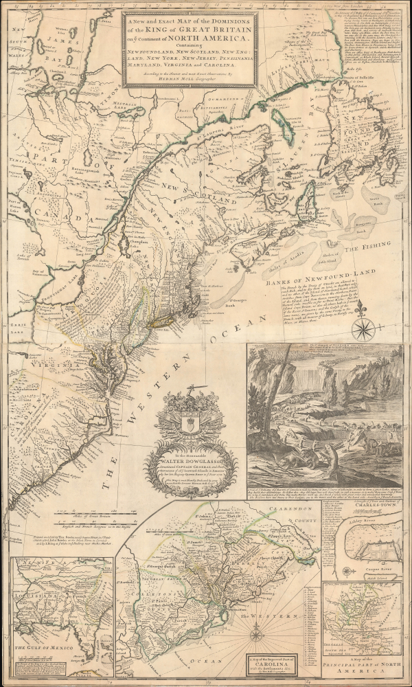
First large-scale map to show American postal routes.
$11,000.00
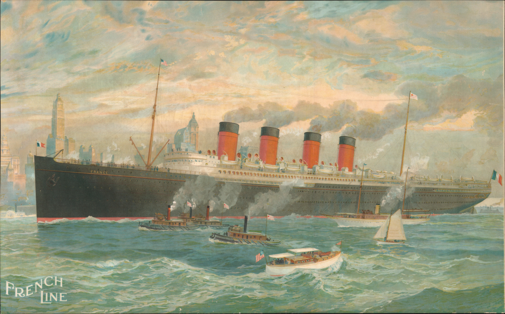
'Versailles of the Atlantic' - the epitome of steamship luxury in the post-Titanic age.
$4,200.00
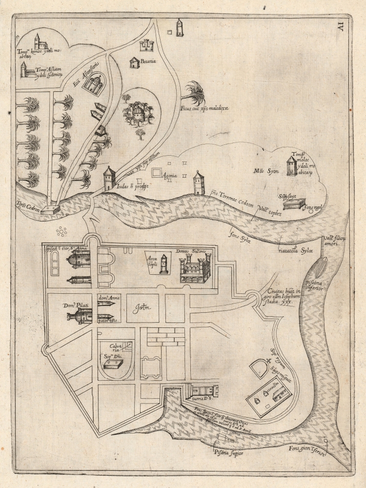
Earliest acquirable medieval plan of Jerusalem.
$3,000.00
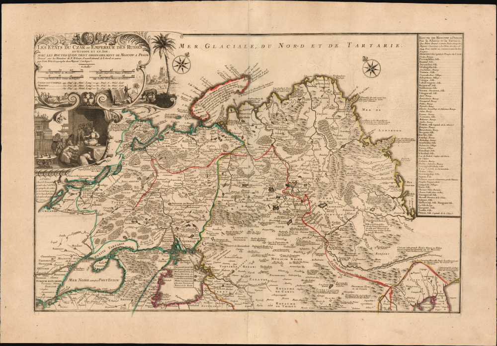
Rare Glimpse of the Efforts to Comprehend Northeastern Asia.
$3,000.00
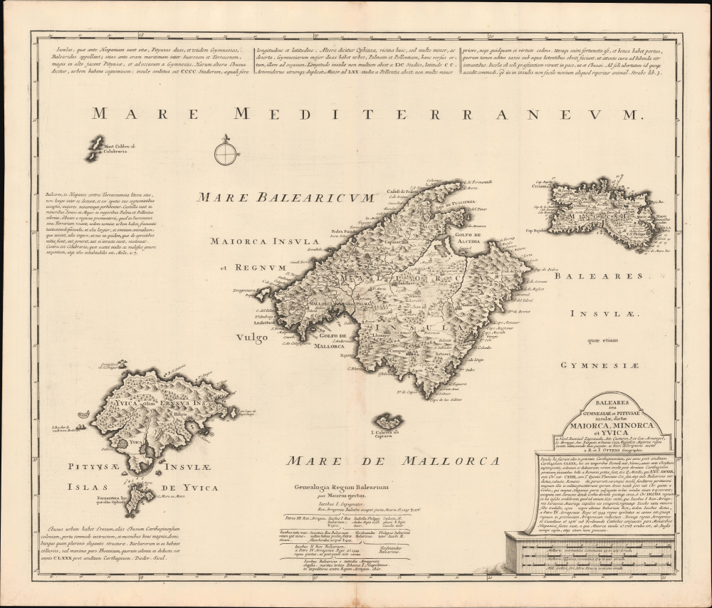
First map of the Balearic Islands based on firsthand knowledge.
$2,800.00
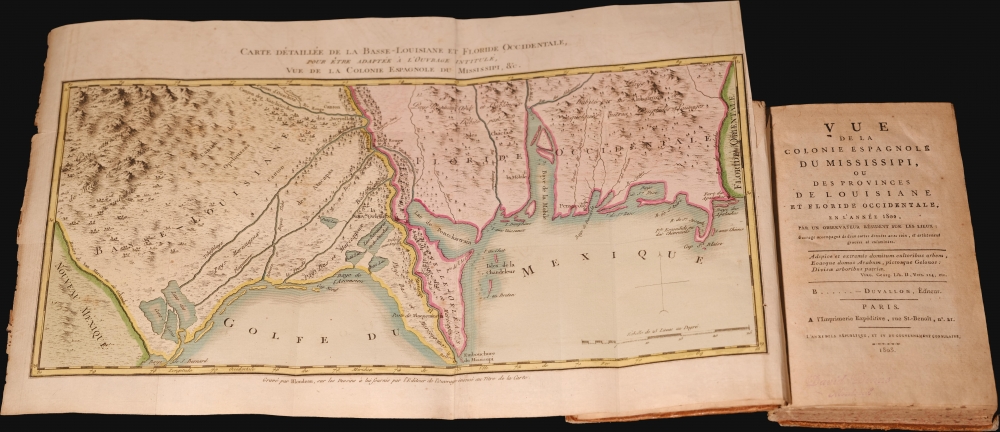
...gossipy first-hand picture of life in New Orleans at the turn of the century. - Streeter
$2,800.00
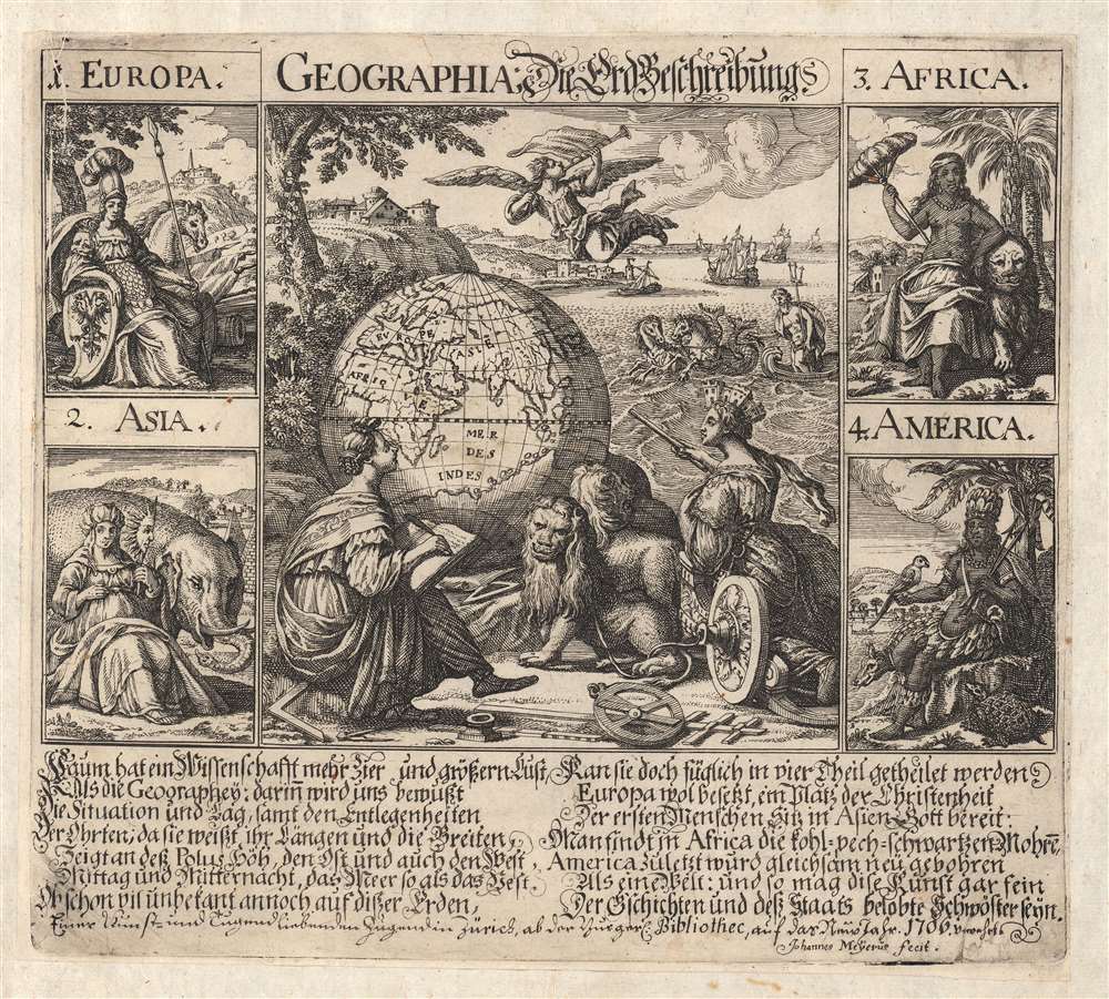
Swiss New Year Broadside promoting geographical sciences.
$2,800.00
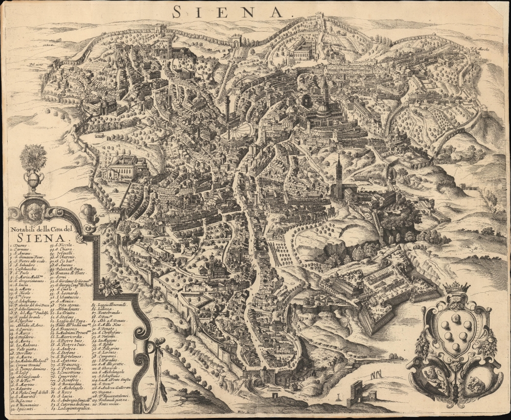
'Both God and man have shown their genius at Siena.'- Maurice Druon
$2,800.00
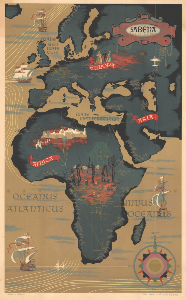
Romanticizing African travel in the Era of the 'Africa Queen'.
$1,800.00
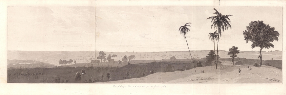
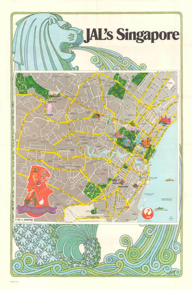
Unrecorded Tourist Map of Singapore for JAL's American Clients.
$1,200.00
Capital of French Indochina.
$950.00
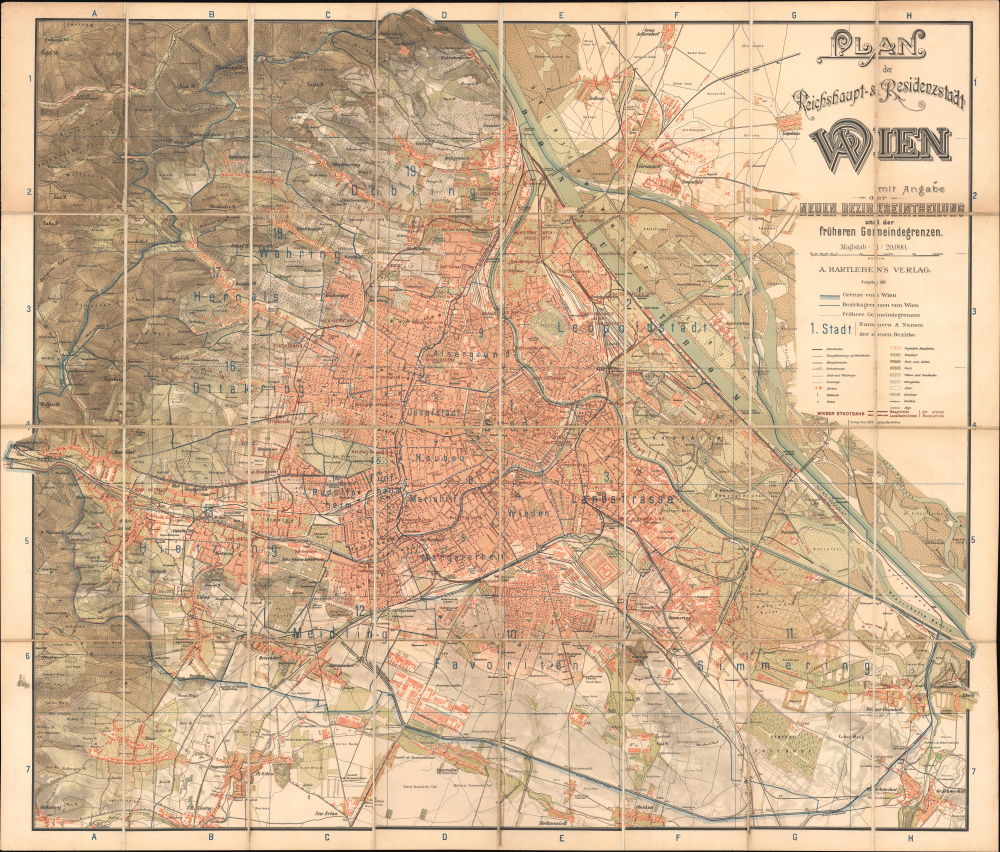
Stomping Grounds of Freud, Mahler, Klimt, Zweig, and Herzl.
$800.00
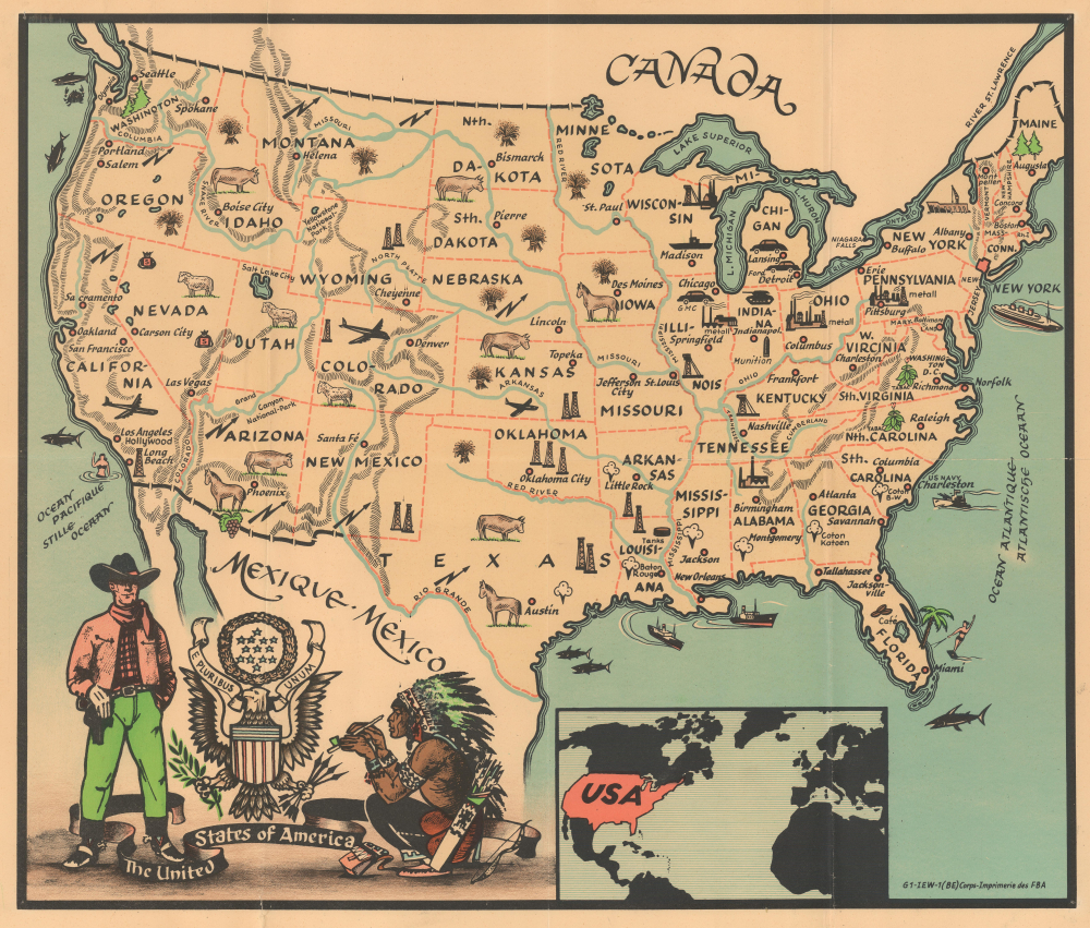
Published by the Belgian Army for the children of its soldiers stationed in Germany.
$750.00
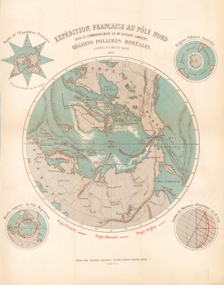
International competition to reach the North Pole.
$750.00

