
Dufrenoy, Eugène (sold)
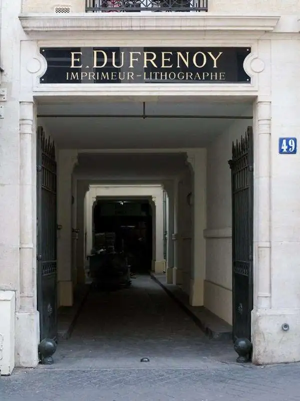
Eugène Dufrenoy (January 21, 1834 - 190x), aka Dufrenois, was a French printer, lithographer, and engraver active in Paris during the second half of the 19th and the early 20th centuries. Dufrénoy born in Bourg-la-Reine, in what is today the southern suburbs of Paris. He was based, for at least part of his career, at 34 Rue du Four, Paris. In 1881 Dufrénoy acquired a large space at 49 Rue du Montparnasse. This space still operates as a printshop with Dufrénoy's old presses as IDEM Paris. ˜
Laying the groundwork for the French takeover of Cambodia.
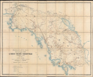
Itinéraires de Mr. A. Pavie dans le sud-ouest de L'Indo-Chine Orientale (Cambodge et Siam) (1880 - 1884).
sold
- Digital Map Information
- Suitable for large format printing
- File Size: 239.01 MB
- File Type: ZIP / TIFF
- ICC color profile embedded
- Delivered instantly via download link
Considered the first scientific survey of Cambodia and southeastern Thailand, this seminal map was published following the 1884 completion of the first and most controversial Mission Pavie (1879 - 1885). Pavie's exploration, mapping, construction of telegraph lines, and successful negotiations with Rama V of Siam, laid the groundwork for the French colonial takeover of Cambodia. The present example is the explorer Auguste Jean-Marie Pavie's own copy. (more details)
Stunning Art Deco Map of Paris in an early state.
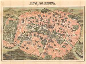
Nouveau Paris Monumental Inineraire Pratique de L'Étranger Dans Paris.
sold
- Digital Map Information
- Suitable for large format printing
- File Size: 35.89 MB
- File Type: ZIP / TIFF
- ICC color profile embedded
- Delivered instantly via download link
An iconic c. 1889 chromolithographic tourist pocket map of Paris, France. Presented as a same field birds-eye view, this map centers on the Seine River, and covers the embastilled heart of modern Paris. Issued as a tourist piece for the 1889 Exposition Universelle, which introduced the Eiffel Tower, buildings and monuments shown in profile, including the Eiffel Tower, the Arc de Triomphe, Sacre-Coeur, the Pantheon, etc. Paris itself is set as if in a verdant garden surrounded by the Bois de Boulogne, the Bois de Vincennes, and various suburban villages. In the north, under a blue sky, rolling hills stretch indefinitely into Normandy towards the English Channel. (more details)

Nouveau Plan de Paris Monumental.
sold
- Digital Map Information
- Suitable for large format printing
- File Size: 23.18 MB
- File Type: ZIP / TIFF
- ICC color profile embedded
- Delivered instantly via download link
An attractive map of Paris, France issued in c. 1890 by L. Guilmin. Covers the old walled city of Paris and the immediate vicinity, especially to the west. Important buildings are shown in profile. All major streets are identified. Identifies numerous buildings ... (more details)
The monuments of Paris.
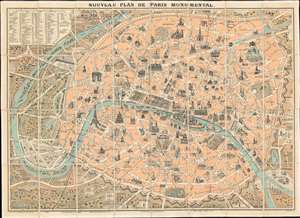
Nouveau Plan de Paris Monumental.
sold
- Digital Map Information
- Suitable for large format printing
- File Size: 45.17 MB
- File Type: ZIP / TIFF
- ICC color profile embedded
- Delivered instantly via download link
This is a c. 1890 L. Guilmin pictorial map of Paris featuring profile drawings of the French capital's world-famous monuments. Depicting the city from Nanterre and the Bois de Boulogne to the Bois de Vincennes, the recently constructed Eiffel Tower, the world-famous Louvre Museum, and the magnificent Notre Dame Cathedral are among the highlighted sites. Others include the Panthéon, the Jardin du Luxembourg, the Jardin des Tuileries, the Avenue des Champs Élysées, and many of Paris's train stations. The city is surrounded by its ancient walls, corresponding to the modern day Boulevard Périphérique is today. (more details)
Garnier's popular map of the Paris Monuments.
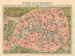
Nouveau Paris Monumental Itinéraire Pratique de l'Étranger dans Paris.
sold
- Digital Map Information
- Suitable for large format printing
- Full resolution TIFF file
- ICC color profile embedded
- Delivered instantly via download link
This is an iconic c. 1905 Garnier Frères tourist pictorial map of Paris, France. This is among the most popular tourist and metro maps ever issued of any city. It is admired both for its practical use and decorative qualities, with monuments and surrounding parks and towns illustrated pictorially. (more details)
Important early edition of Garnier's popular map of the Paris Monuments.
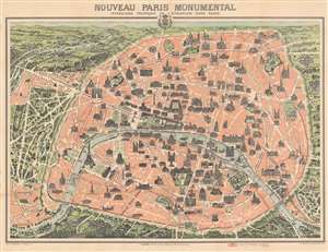
Nouveau Paris Monumental Itinéraire Pratique de l'Étranger dans Paris.
sold
- Digital Map Information
- Suitable for large format printing
- File Size: 45.71 MB
- File Type: ZIP / TIFF
- ICC color profile embedded
- Delivered instantly via download link
This is an extremely attractive 1903 Garnier Frères tourist pictorial pocket map of Paris, France. The map depicts the walled city of Paris and the immediate vicinity from Billancourt to Aubervilliers and from Puteau to Charenton. Celebrated tourist sites are shown in profile, including the Eiffel Tower, the Arc de Triomphe, Sacre-Coeur, the Pantheon, and several more. Paris's many train stations are illustrated along with the railroad lines. Both the Bois de Boulogne and the Bois de Vincennes are depicted in stunning detail. (more details)