Most recently added antique and rare maps as of 8/24/2025.
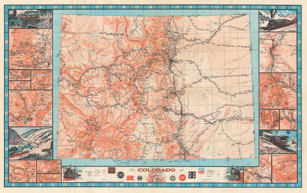
Pictorial map of Colorado's historic railways.
$500.00
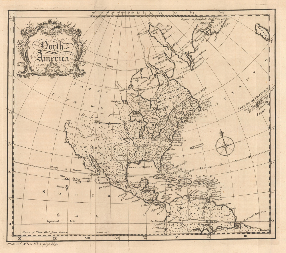
Cartographic Wishful Thinking.
$300.00
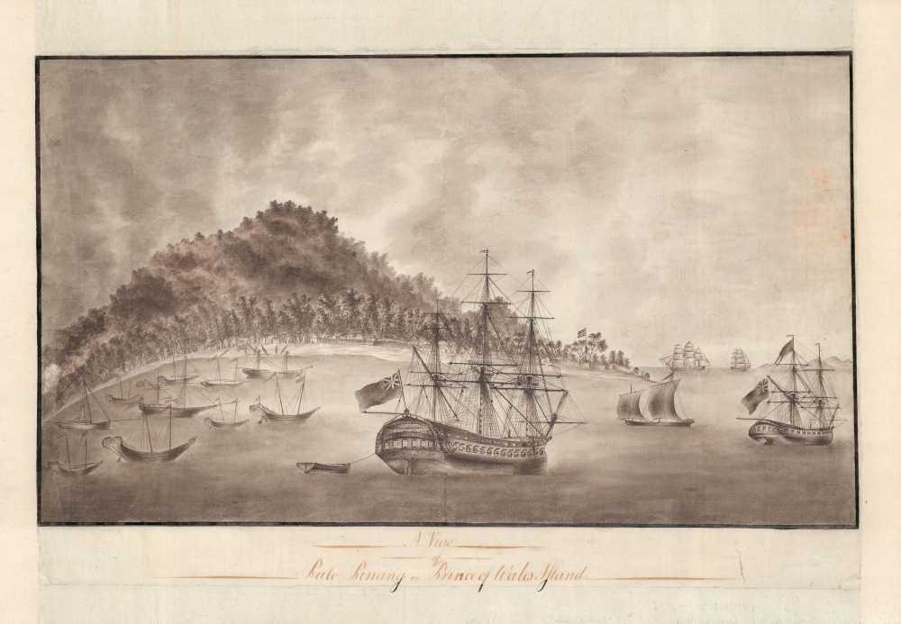
First view of Georgetown, Malaya, center of the Spice Trade. Manuscript.
$6,000.00
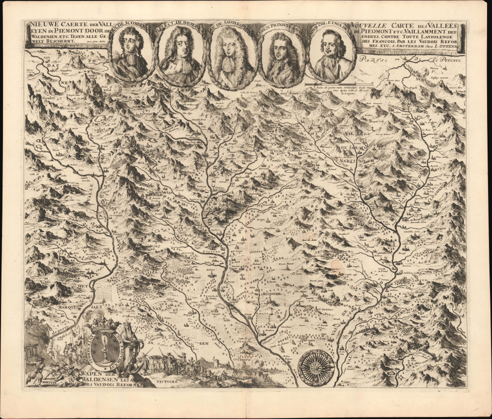
Glorious Return of Exiles to the Waldensian Valleys following the Piedmontese Easter.
$5,500.00
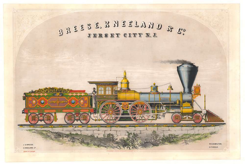
Rare steam locomotive promotion.
$5,000.00
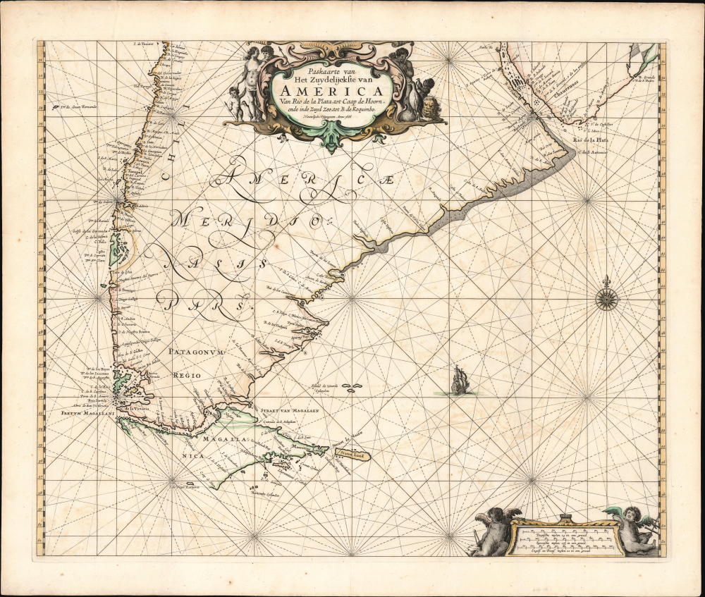
Dutch Sea Chart of the Straits of Magellan and Le Maire, and the Rio de la Plata.
$2,500.00
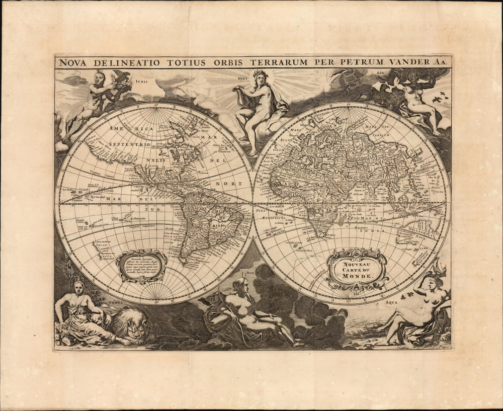
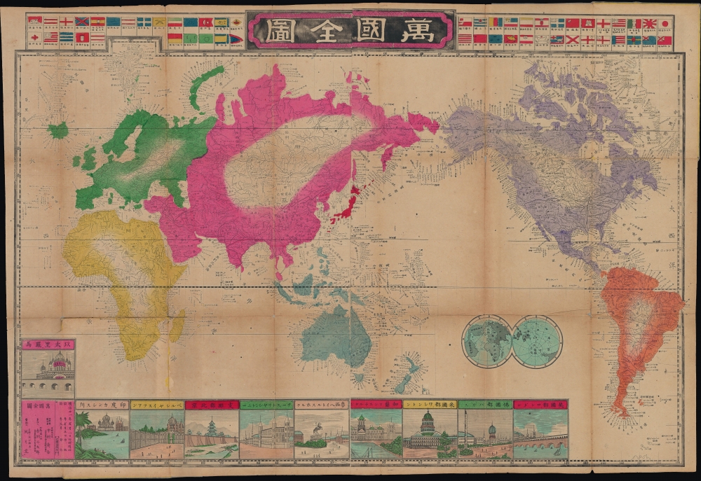
Elegantly Composed Double Hemisphere World Map.
$1,750.00
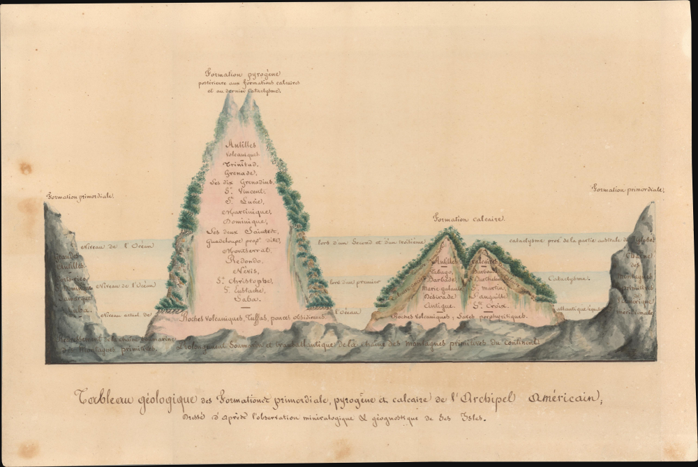
Unique Humboldtian geological infographic of the West Indies.
$1,500.00
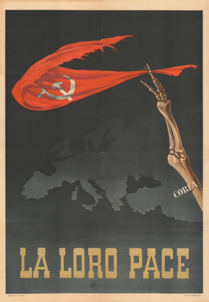
'A specter is haunting Europe - the specter of communism...'
$1,200.00
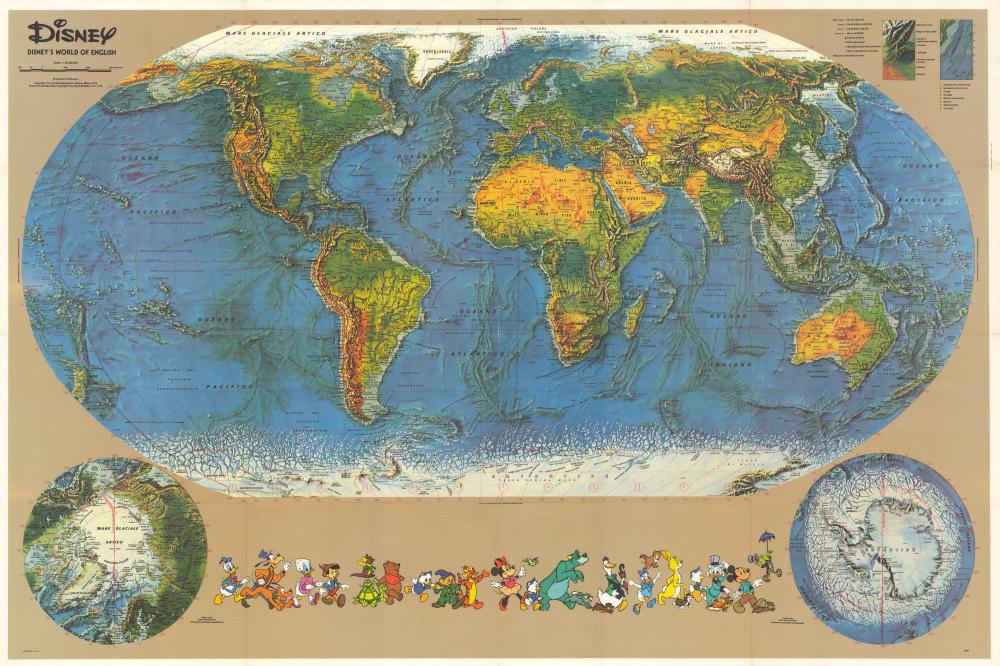
Disney's outreach to the non-English speaking world.
$850.00
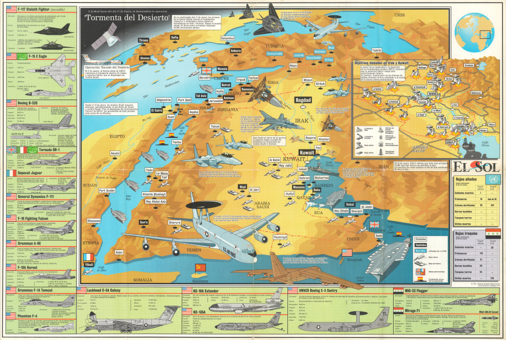
Unique Spanish-language pictorial map of the Gulf War.
$850.00
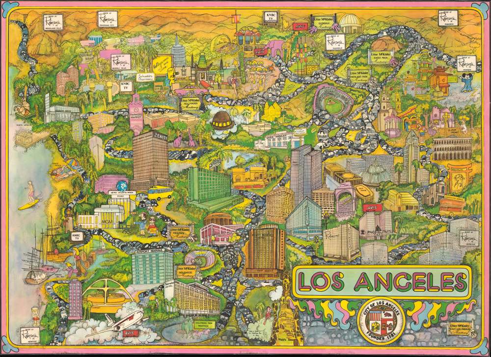
Unrecorded 'Psychedelic' Promotional View of L.A.
$850.00
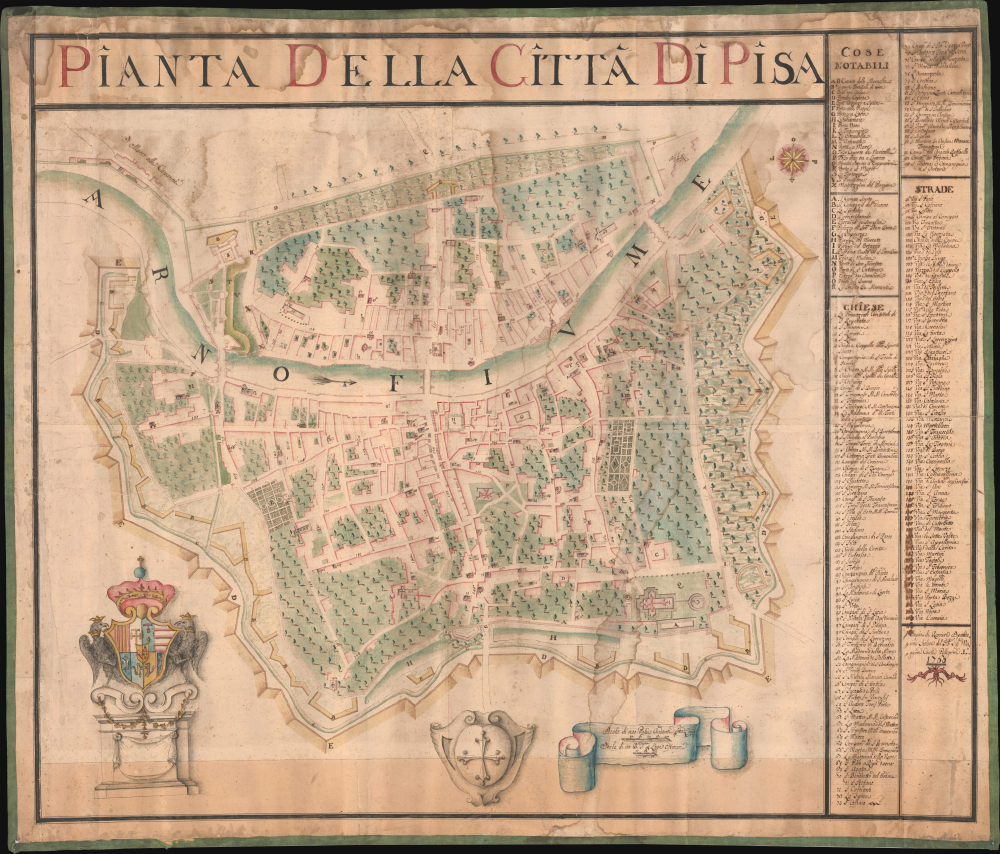
Stunning 18th Century Manuscript Wall Map of Pisa.
$25,000.00

