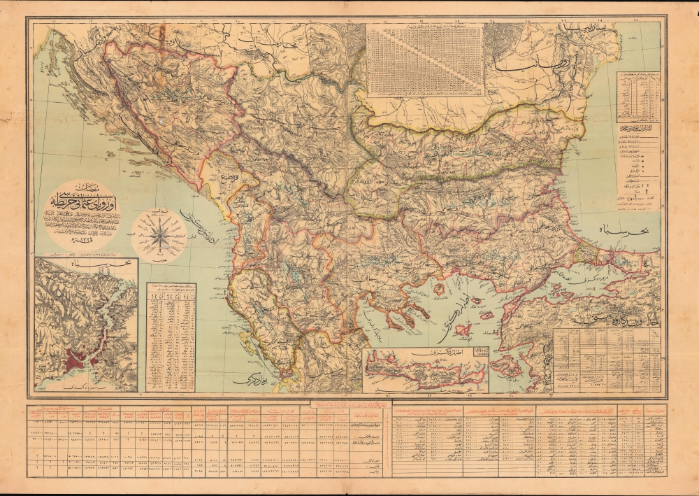
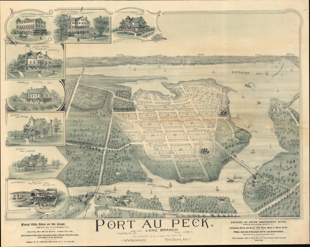
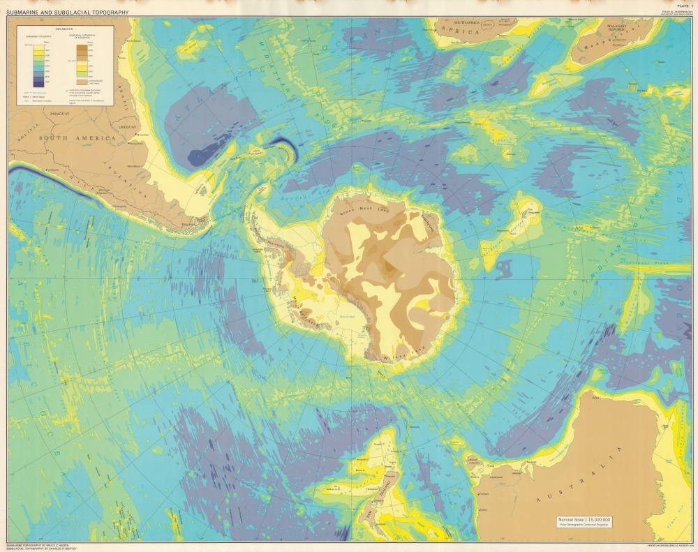
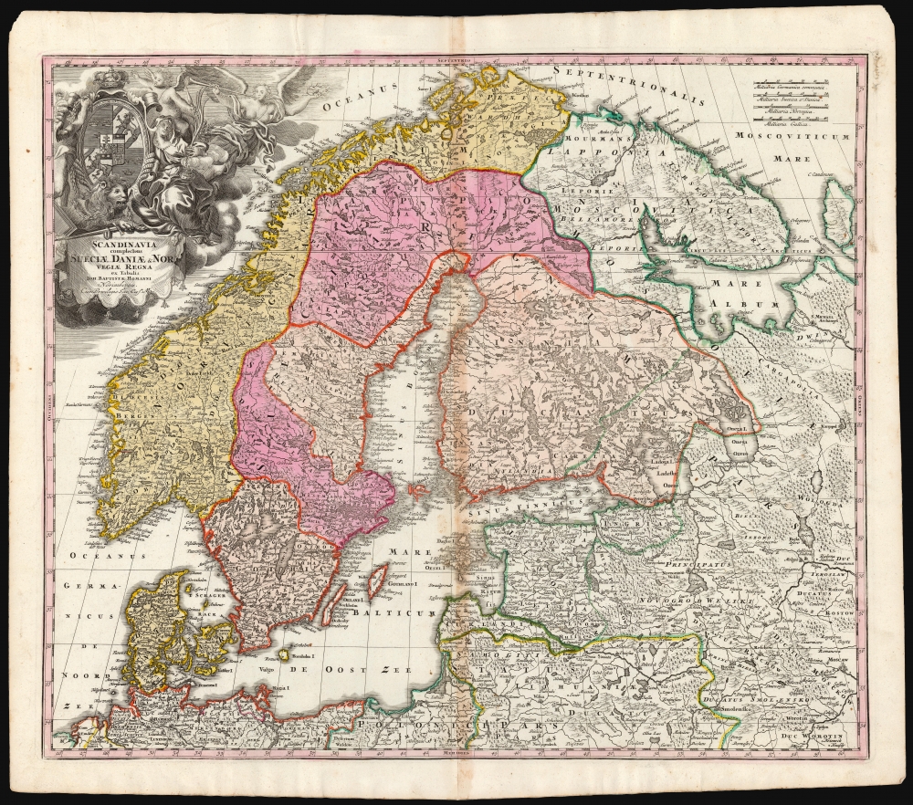
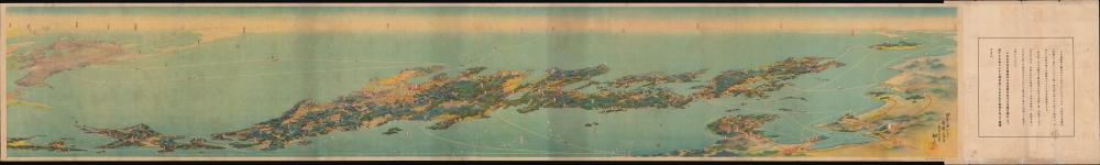
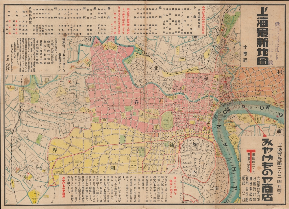
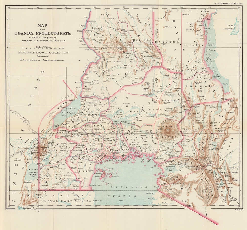
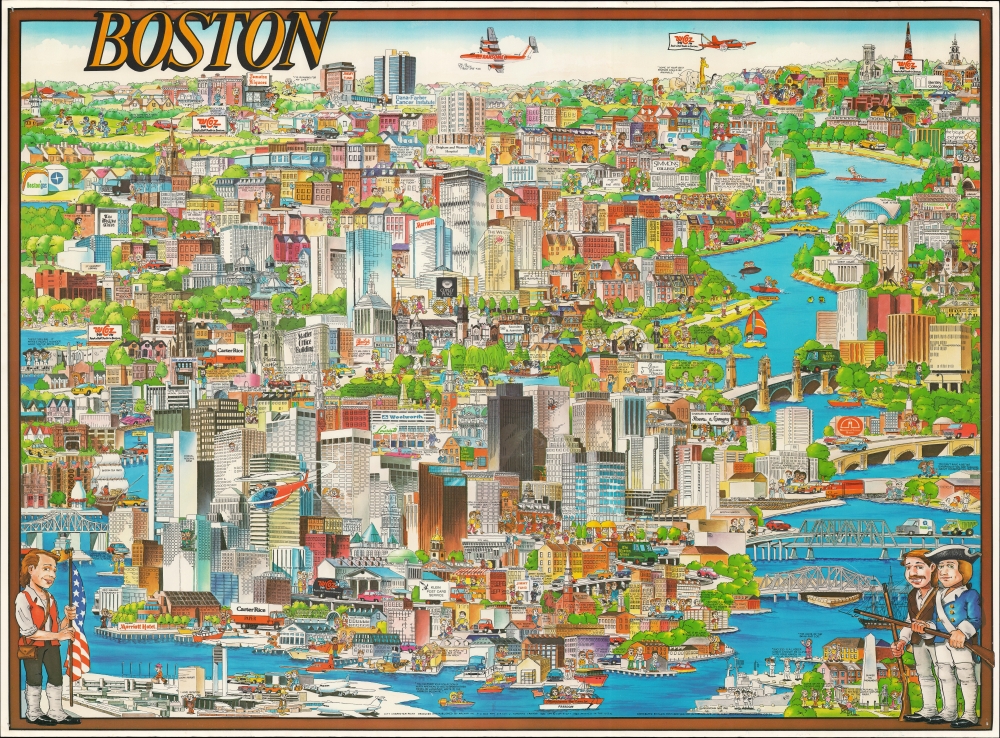
Most recently added antique and rare maps as of 7/2/2025.
1891 Turner and Bond City Plan or Map of Chicago, Illinois
One of the earliest maps to promote the 1893 Chicago World's Fair.
$2,000.00

1887 Tsujimoto Pocket Map of Japan
Defining Dai Nippon.
$1,500.00

1710 Homann / Doppelmayr Celestial Chart Explaining Planetary Motion
Apparent Retrograde Motion Explained.
$750.00

1903 Clyde Steamship Company Map of Florida
Take a steamship to Florida from New York!
$325.00

1745 Mannevillette Map of the Gulf of Siam, Cambodia, Vietnam
Censored Map: One of the first specific printed maps of the Gulf of Thailand and Cambodia.
$2,300.00

1825 Tanner Map of New England
Scarce edition of Tanner's New England.
$1,200.00

1906 Dagistani Ottoman Map of the Balkans
Southeastern Europe, Slipping Away.
$1,200.00

1972 American Geographical Society Map of Antarctica
Under the Antarctic ice.
$950.00

1724 Homann Map of Scandinavia Following the Great Northern War
In the Wake of the Age of Greatness.
$850.00

1922 Yoshida Panoramic Bird's Eye View of Japan
Panoramic Bird's-Eye View of Japan.
$750.00

1940 Takagi Tourism Map of Shanghai, China
Shanghai Souvenir.
$600.00

1902 Harry H. Johnston Map of the Uganda Protectorate
African Great Lakes and the Mombasa-Victoria Railway.
$500.00

1982 Archar Pictorial View of Boston, Massachusetts
Boston's Beautiful (and Brutalist) Architecture.
$350.00

1952 Pictorial Tourist Map of Route 66 in Arizona, Printed on a Napkin
Get Your Kicks (and Chicken In A Basket) On Route 66.
$300.00

1831 Teesdale Map of Europe
Independent Greece.
$200.00