
NEW ACQUISITIONS
Rare, detailed map of the Republic of Paraguay.
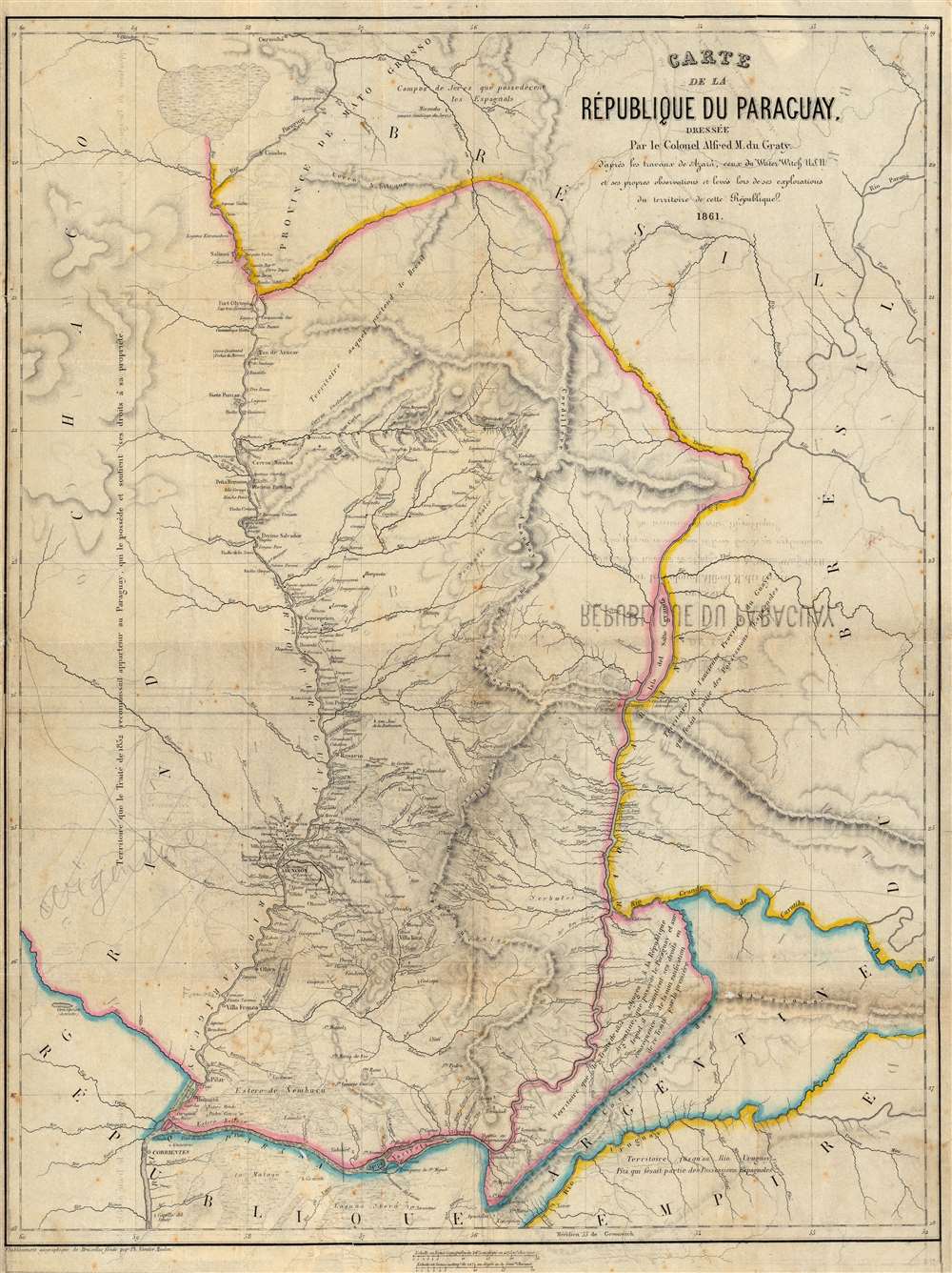
Carte de la République du Paraguay, Dressée Par le Colonel Alfred M. du Graty.
$950.00
Acquire
- Digital Map Information
- Suitable for large format printing
- File Size: 38.45 MB
- File Type: ZIP / TIFF
- ICC color profile embedded
- Delivered instantly via download link
A scarce 1861 Philippe Vandermaelen map of the Republic of Paraguay. The map was built upon the groundbreaking 1809 work by Spanish military engineer Félix de Azara, updated from contemporaneous sources: the reports of the riverine exploration of the United States Navy and the travels of the Belgian noble and military adventurer Baron Alfred Louis Hubert Ghislain Marbais du Graty. (more details)
Gold in Australia!
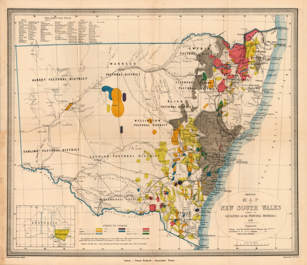
Sketch Map of New South Wales Showing the Localities of the Principal Minerals 1876.
$750.00
Acquire
- Digital Map Information
- Suitable for large format printing
- File Size: 12.84 MB
- File Type: ZIP / TIFF
- ICC color profile embedded
- Delivered instantly via download link
A most interesting 1876 Thomas Richards map of New South Wales, Australia, printed to emphasize the breadth and richness of the colony's mineral resources, in particular, gold. (more details)
Southern Italy in the War of the Spanish Succession.
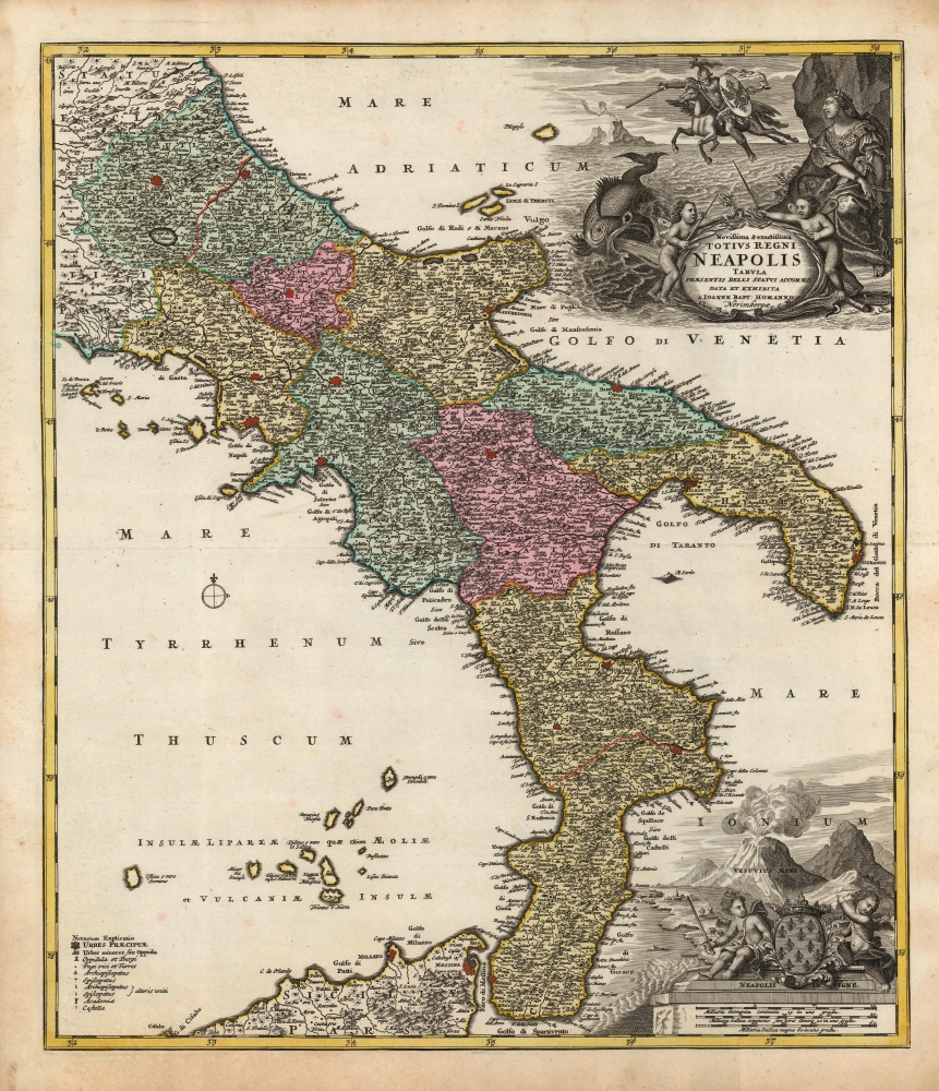
Novissima et exactissima Totius Regni Neapolis Tabula Praesentis Belli Statui Accomodata et Exhibita.
$750.00
Acquire
- Digital Map Information
- Suitable for large format printing
- Full resolution TIFF file
- ICC color profile embedded
- Delivered instantly via download link
This is a beautiful 1730 old-color example of Johann Baptist Homann's map of the Kingdom of Naples, then most of southern Italy. The map was issued to illustrate this theater of the War of the Spanish Succession (1701 - 1714), thus covering from Terracina to the Adriatic Sea and northern Sicily. (more details)
View of Sydney Harbor.
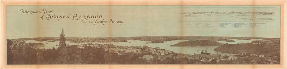
Panoramic View of Sydney Harbour from the North Shore.
$650.00
Acquire
- Digital Map Information
- Suitable for large format printing
- File Size: 22.17 MB
- File Type: ZIP / TIFF
- ICC color profile embedded
- Delivered instantly via download link
This is a c. 1878 panoramic view of Sydney Harbor in Sydney, Australia. (more details)
Delivering the mail in Guerrero, Mexico.

Carta Postal de la Republica Mexicana Estado de Guerrero.
$500.00
Acquire
- Digital Map Information
- Suitable for large format printing
- File Size: 28.41 MB
- File Type: ZIP / TIFF
- ICC color profile embedded
- Delivered instantly via download link
This is a 1934 General Directorate of Post and Telegraphs map of Guerrero (Acapulco), Mexico postal routes. Mail is delivered in three different ways in Guerrero: on foot, on horseback, or by car, all of which are depicted by red lines. Each mode of delivery is illustrated by a different type of line, allowing the viewer a better overall understanding of how mail is delivered around the state. Vertical lines are drawn at the beginning and end of each route, marking the beginning of the route (one vertical line) and the end (two vertical lines). Dashed red lines mark routes that are delivered on foot, while single solid lines trace routes delivered on horseback, and two parallel solid lines highlight routes delivered by car. Cities, towns, and villages along each of the routes are labeled. Each route is numerically identified by a four-digit number. In Guerrero, these numbers all begin with the numbers two and three. The frequency of delivery is also indicated, with 52 marking routes that are delivered once a week, 104 twice weekly, 156 thrice weekly, 313 weekdays, 365 daily, and 730 twice daily. The solid black line marks the railway between Rio Balsas and Puente de Ixtla, over which mail is delivered twice daily. (more details)
2nd Damascus International Fair.
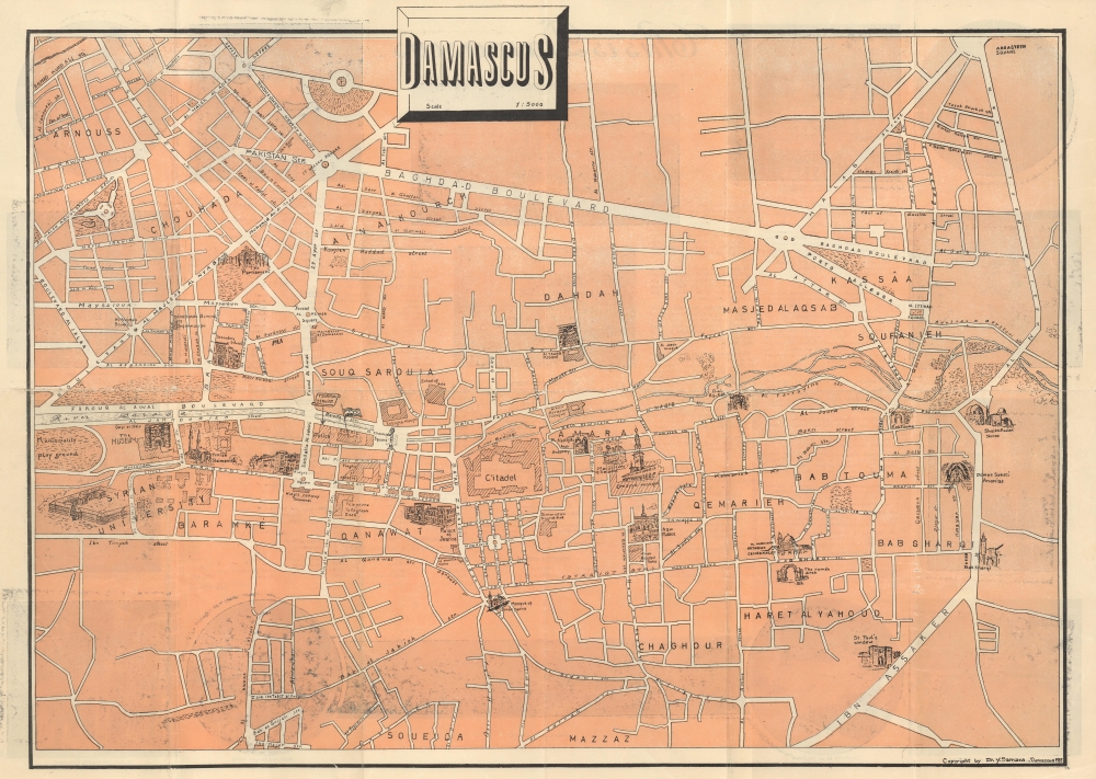
Damascus.
$500.00
Acquire
This is a 1955 Yūsuf Samārah pictorial tourist map of Damascus, Syria, issued to promote and capitalize on the 2nd Damascus International Fair. (more details)
Detailing East Africa and Arabia.

Mittel-und-Nord-Africa (östl. Theil) und Arabien.
$450.00
Acquire
- Digital Map Information
- Suitable for large format printing
- File Size: 11.96 MB
- File Type: ZIP / TIFF
- ICC color profile embedded
- Delivered instantly via download link
This is an 1845 Johann Friedrich von Stülpnagel map of eastern North Africa, Arabia, and Persia, with an inset map detailing Abyssinia in East Africa. (more details)
Iconic Depression Era New York City view.

Hotel Edison SuperVue Map of New York City.
$450.00
Acquire
- Digital Map Information
- Suitable for large format printing
- Full resolution TIFF file
- ICC color profile embedded
- Delivered instantly via download link
This is a spectacular 1933 edition of the Edward V. Spofford / Samuel Freedman bird's-eye 'Supervue' map of New York City published to promote the Hotel Edison. Despite being issued at the height of the Great Depression, this view highlights New York City's resilience, prosperity, and multicultural dynamism. (more details)
The 'Great Circle' - verso covered in military aviation information.

Global Map for Global War and Global Peace.
$400.00
Acquire
- Digital Map Information
- Suitable for large format printing
- Full resolution TIFF file
- ICC color profile embedded
- Delivered instantly via download link
This is a 1943 Antonio Petruccelli and Aluminum Company of America map of the world. The map features the novel Azimuthal Equidistant Projection, notable for illustrating accurate point-to-point distances. (more details)
'Closest Approximation of Old-Time Hawaii'.

Molokai the friendly Island. / Molokai Hawaii the Friendly Island Souvenir Map. Business. Recreation Guide.
$400.00
Acquire
A whimsical 1977 pictorial tourist map of Moloka'i, Hawaii, drawn by Fritz Alseth and printed by the Fisher Printing Company (more details)
Transporting the 'Arsenal of Democracy'.
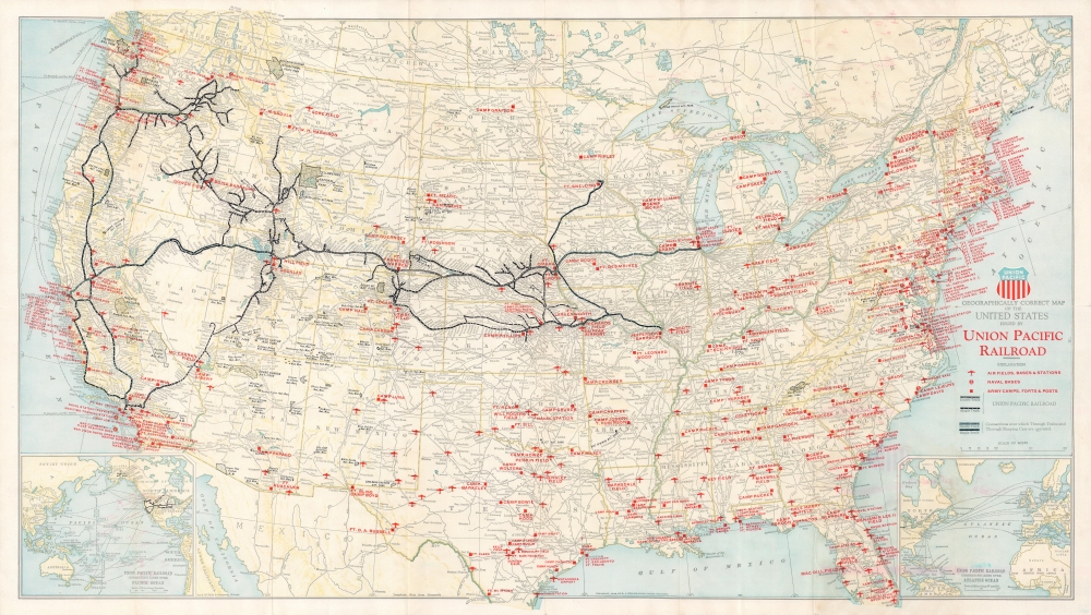
Geographically correct map of the United States issued by Union Pacific Railroad.
$350.00
Acquire
- Digital Map Information
- Suitable for large format printing
- Full resolution TIFF file
- ICC color profile embedded
- Delivered instantly via download link
A 1942 World War II era Rand McNally map of the United States issued for the Union Pacific Railroad. It notes the locations of military facilities and highlights the contributions of the Union Pacific to the war effort. (more details)
Defending the Confederate Capital.
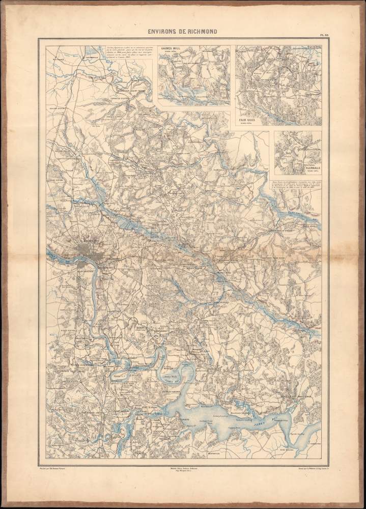
Environs de Richmond.
$350.00
Acquire
- Digital Map Information
- Suitable for large format printing
- File Size: 23.48 MB
- File Type: ZIP / TIFF
- ICC color profile embedded
- Delivered instantly via download link
This highly-detailed Dumas Vorzet map depicting Richmond and environs in eastern Virginia was issued to illustrate the scarce 1890 atlas volume of the French edition of Philippe d'Orléans' Histoire de la Guerre Civile en Amérique. This region was the site of multiple important battles, including the Peninsular Campaign of 1862 and the Overland Campaign of 1864. (more details)
Indian Capital of the Great Southwest.
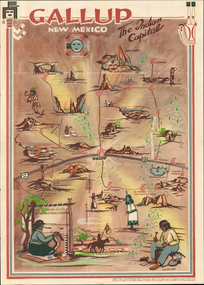
Gallup New Mexico The Indian Capital / Pictorial Map of Gallup New Mexico.
$325.00
Acquire
- Digital Map Information
- Suitable for large format printing
- Full resolution TIFF file
- ICC color profile embedded
- Delivered instantly via download link
A distinctive 1947 Louie H. Ewing pictorial map of Gallup, New Mexico, prepared for the Gallup Chamber of Commerce. It highlights the region's rich Native American history and culture. (more details)
Decorative Florida.

Official Road Map of Florida.
$300.00
Acquire
- Digital Map Information
- Suitable for large format printing
- Full resolution TIFF file
- ICC color profile embedded
- Delivered instantly via download link
This is a 1936 Florida State Road Department map of Florida. Red lines highlight U.S. highway routes and solid black lines mark paved roads. Eleven inset city plans detail various cities, including Orlando, Tallahassee, Daytona Beach, Tampa, St. Petersburg, and Miami. An index of counties, cities, and towns appears in the lower left. The whole is surrounded by a pictorial border consisting of vignette views. Among these are the Bok Tower, beaches, hunters, and athletes playing tennis and golf. Florida wildlife, such as alligators, deer, and a puma, also appear. (more details)
Scenic Wonderland.
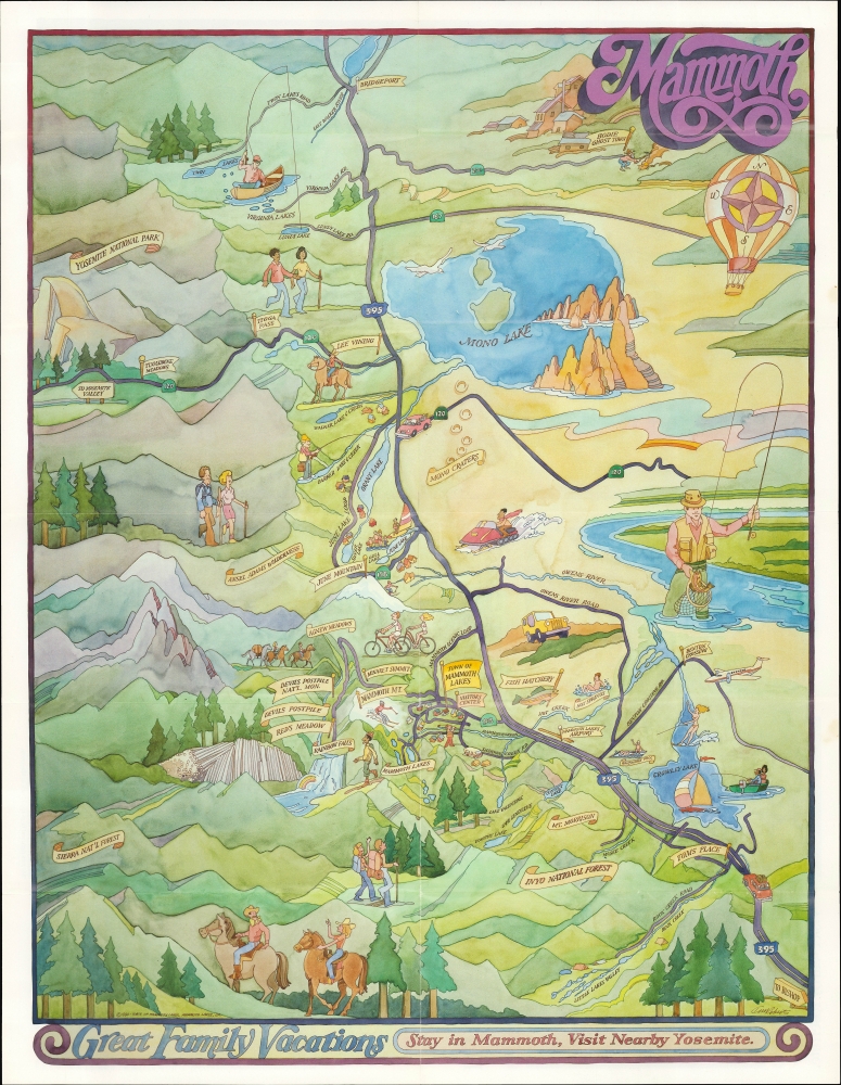
Mammoth / Explore Mammoth by Car.
$300.00
Acquire
An unrecorded 1990 pictorial view of Mammoth, California, including the town of Mammoth Lakes, Mammoth Mountain, and nearby attractions Yosemite, Mono Lake, and Inyo National Forest. (more details)
The Spitak Earthquake.
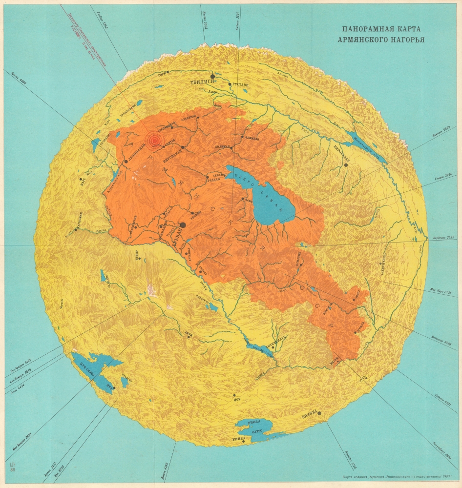
ПАНОРАМАЯ КАРТА АРМЯНСКОГО НАГОРЬЯ. [Panoramic Map of the Armenian Highland.]
$250.00
Acquire
This is a novel 1990 Armenian Traveler's Encyclopedia circular 'panorama' map of the Armenian Highlands, published to illustrate the affected area of the devastating Spitak Earthquake. (more details)
First authenticated European Contact with Australia; best Philippine Mapping to date.

Indiae Orientalis Nova Descriptio.
$3,000.00
Acquire
- Digital Map Information
- Suitable for large format printing
- Full resolution TIFF file
- ICC color profile embedded
- Delivered instantly via download link
This is a gorgeous, original color example of Jan Jansson's 1630 map of the East Indies - the first printed map to present Willem Janszoon's 1606 contact with Australia. It also represents a milestone in the mapping of the Philippines, containing a markedly more precise depiction of the archipelago than any prior printed map. (more details)
Competitor of the Marine Chronometer.
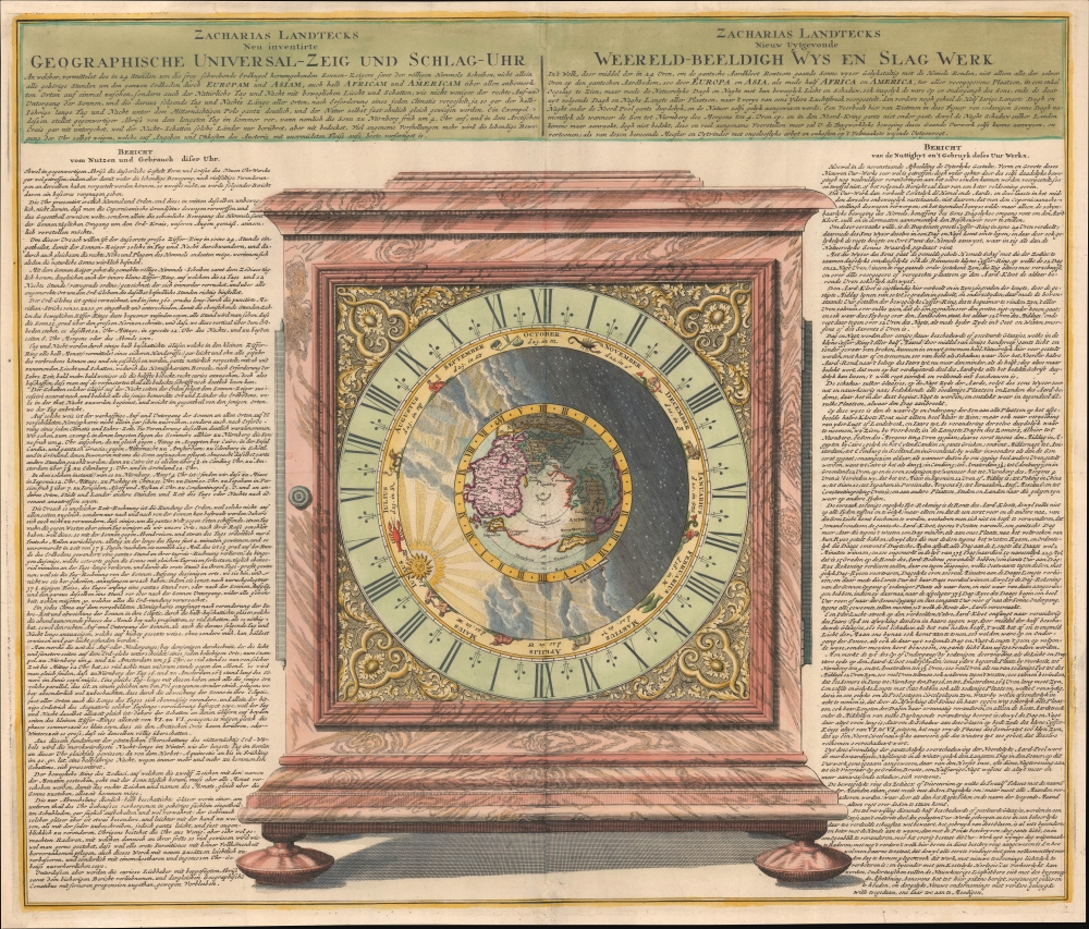
Geographische Universal - Zeig Und Schlag-Uhr.
$2,250.00
Acquire
- Digital Map Information
- Suitable for large format printing
- File Size: 27.03 MB
- File Type: ZIP / TIFF
- ICC color profile embedded
- Delivered instantly via download link
A remarkable 1735 Zacharias Landteck and J. B. Homman diagram of a 'universal clock,' with instructions in German (left) and Dutch (right) on how to use it to determine the time and thus longitude at sea - an age-old problem for mariners. This advertising piece for Landteck's clock, known as Geographische Universal Zeig und SchlagUhr an (Universal Pointing and Chiming Clock), was published in 1735, not by chance, for this was the same year that Englishman John Harrison claimed the Royal 'Longitude Act' prize for his own groundbreaking invention, the marine chronometer. (more details)
Down of the Skyscraper Age.

North View from the Singer Towner.
$1,100.00
Acquire
- Digital Map Information
- Suitable for large format printing
- File Size: 21.62 MB
- File Type: ZIP / TIFF
- ICC color profile embedded
- Delivered instantly via download link
This is a dramatic 1909 Edward W. Spofford view of New York City celebrating the opening of the Singer Tower. The Singer town was worthy of such a view, for this kind of high oblique perspective would have been a novelty to most New Yorkers as the newly finished Singer Tower was, at the time, the world's tallest skyscraper, New York's most innovative building, and a Beaux-Arts design wonder. (more details)
Bold American claims on the Oregon Question.

Oregon Territory.
$950.00
Acquire
- Digital Map Information
- Suitable for large format printing
- File Size: 6.54 MB
- File Type: ZIP / TIFF
- ICC color profile embedded
- Delivered instantly via download link
This is Jeremiah Greenleaf's 1842 map of Oregon Territory - a bold illustration of the American perspective on the Oregon Question. It is one of the few atlas maps of the Oregon Territory to appear prior to 1850. (more details)