
Greenleaf, Jeremiah

Jeremiah Greenleaf (1791 - 1864) is a little known but highly admired American cartographer of the early 19th century. He published from roughly 1830 to 1850. His most important work is A New Universal Atlas; Comprising of all the Principal Empires, Kingdoms, and States Throughout the World and Forming a distinct Atlas of the United States, published in several editions in the 1840s. Many of his maps are reformatted versions of his contemporary David Burr's much admired cartographic works. Greenleaf's maps are extremely rare and admired for their stunningly vivid pastel color washes.
Canals Connecting Cleveland and Columbus, and More.
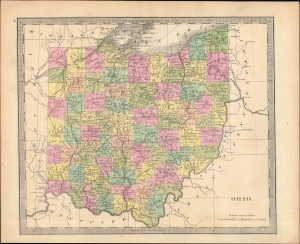
Ohio.
$250.00
Acquire
- Digital Map Information
- Suitable for large format printing
- Full resolution TIFF file
- ICC color profile embedded
- Delivered instantly via download link
An appealing example of Jeremiah Greenleaf's scarce 1840 map of Ohio that appeared in the first edition of his Universal Atlas. It displays the state in a period of rapid development, driven by new settlers and a growing canal and road network. (more details)
Pre-Civil War - Post Trail of Tears.
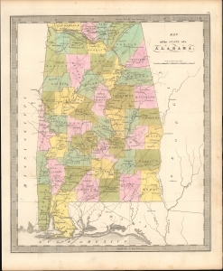
Map of the State of Alabama.
$350.00
Acquire
- Digital Map Information
- Suitable for large format printing
- File Size: 6.9 MB
- File Type: ZIP / TIFF
- ICC color profile embedded
- Delivered instantly via download link
This is Jeremiah Greenleaf's 1842 map of Alabama. The map illustrates Alabama during a period of economic growth, political stability, and cultural vibrancy, at the height of the state's pre-Civil War railroad boom. (more details)
Just before the Gold Rush.
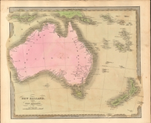
New Holland, And New Zealand.
$350.00
Acquire
- Digital Map Information
- Suitable for large format printing
- File Size: 5.96 MB
- File Type: ZIP / TIFF
- ICC color profile embedded
- Delivered instantly via download link
This is Jeremiah Greenleaf's 1842 map of Australia and New Zealand. (more details)
Maine Northern Boundary Dispute.
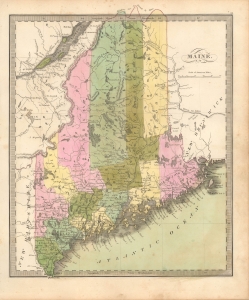
Maine.
$300.00
Acquire
- Digital Map Information
- Suitable for large format printing
- File Size: 6.53 MB
- File Type: ZIP / TIFF
- ICC color profile embedded
- Delivered instantly via download link
This is Jeremiah Greenleaf's 1842 map of Maine. The map records the results of the Aroostook War (1838 - 1839) and the settling of Maine's northern boundary by the 1842 Webster-Ashburton Treaty. (more details)
Rich original color.
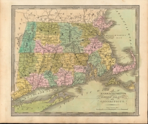
Massachusetts, Rhode Island, and Connecticut.
$200.00
Acquire
- Digital Map Information
- Suitable for large format printing
- File Size: 8.21 MB
- File Type: ZIP / TIFF
- ICC color profile embedded
- Delivered instantly via download link
This is a beautiful example of Jeremiah Greenleaf's 1842 map of Massachusetts, Rhode Island, and Connecticut. (more details)
Bold American claims on the Oregon Question.
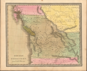
Oregon Territory.
$950.00
Acquire
- Digital Map Information
- Suitable for large format printing
- File Size: 6.54 MB
- File Type: ZIP / TIFF
- ICC color profile embedded
- Delivered instantly via download link
This is Jeremiah Greenleaf's 1842 map of Oregon Territory - a bold illustration of the American perspective on the Oregon Question. It is one of the few atlas maps of the Oregon Territory to appear prior to 1850. (more details)
The East Indies.
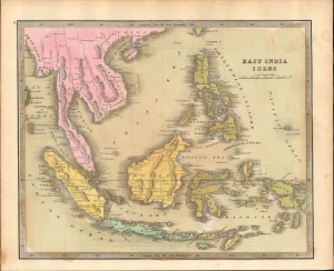
East India Isles.
$250.00
Acquire
- Digital Map Information
- Suitable for large format printing
- File Size: 7.15 MB
- File Type: ZIP / TIFF
- ICC color profile embedded
- Delivered instantly via download link
This is Jeremiah Greenleaf's 1842 map of the East Indies and Southeast Asia. (more details)
Republic of Texas at its height.
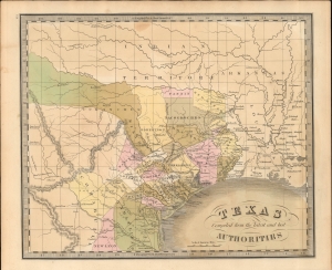
Texas Compiled from the latest and best Authorities.
$3,500.00
Acquire
- Digital Map Information
- Suitable for large format printing
- File Size: 7.52 MB
- File Type: ZIP / TIFF
- ICC color profile embedded
- Delivered instantly via download link
This is Jeremiah Greenleaf's 1842 map of the Republic of Texas. This highly sought-after map is one of the best depictions of the Republic produced during its brief existence. It is notable for incorporating both early counties and Empresario land grants. (more details)
Industry and agriculture.
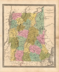
Vermont and New Hampshire.
$300.00
Acquire
- Digital Map Information
- Suitable for large format printing
- File Size: 7.81 MB
- File Type: ZIP / TIFF
- ICC color profile embedded
- Delivered instantly via download link
This is Jeremiah Greenleaf's 1842 map of Vermont and New Hampshire. (more details)
Early U.S. Settlement if Wisconsin Territory. Carver's Grant.
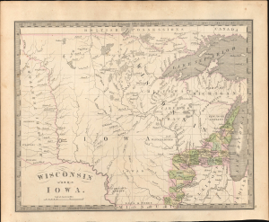
Wisconsin and Iowa.
$1,200.00
Acquire
- Digital Map Information
- Suitable for large format printing
- Full resolution TIFF file
- ICC color profile embedded
- Delivered instantly via download link
This is the rare 1842 J. Greenleaf first-state map of Wisconsin and Iowa Territories, incorporating modern-day Minnesota. It illustrates the early days of U.S. settlement in the region, which, within a few years, penetrated westward as far as the Missouri. It is also one of the few maps to illustrate Carver's Tract, a notoriously fraudulent claim used to support U.S. over American Indian claims to the region. (more details)
Africa, as Depicted on the Eve of Livingstone's Explorations.
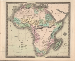
Africa.
$200.00
Acquire
- Digital Map Information
- Suitable for large format printing
- Full resolution TIFF file
- ICC color profile embedded
- Delivered instantly via download link
An example of Jeremiah Greenleaf's hand-colored 1849 map of Africa, from his New Universal Atlas, reflecting the limited but developing European understanding of African geography. (more details)
Home of Hot Springs.
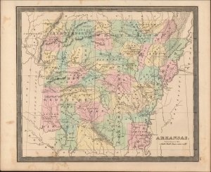
Arkansas.
$300.00
Acquire
- Digital Map Information
- Suitable for large format printing
- Full resolution TIFF file
- ICC color profile embedded
- Delivered instantly via download link
An example of Jeremiah Greenleaf's 1849 map of Arkansas, published in his New Universal Atlas, depicting the state soon after its ascension to the Union. (more details)
Brazil in the Years after Independence.
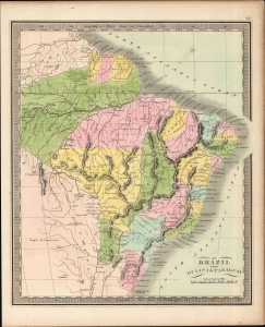
Brazil.
$120.00
Acquire
- Digital Map Information
- Suitable for large format printing
- Full resolution TIFF file
- ICC color profile embedded
- Delivered instantly via download link
A beautiful example of Jeremiah Greenleaf's 1849 map of Brazil, Guyana, and Paraguay, that appeared in his Universal Atlas. (more details)
Aftermath of Gran Colombia.
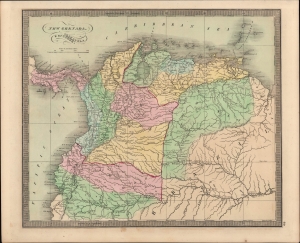
New Grenada, Venezuela, and Ecuador.
$200.00
Acquire
- Digital Map Information
- Suitable for large format printing
- Full resolution TIFF file
- ICC color profile embedded
- Delivered instantly via download link
An example of Jeremiah Greenleaf's 1849 map of New Grenada from his New Universal Atlas. It covers the northwestern portion of South America, taking in the present-day countries of Colombia, Venezuela, Ecuador, and Panama, along with portions of Brazil and Guyana. (more details)
Pasha Power Plays.
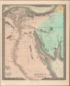
Egypt.
$200.00
Acquire
- Digital Map Information
- Suitable for large format printing
- Full resolution TIFF file
- ICC color profile embedded
- Delivered instantly via download link
This is Jeremiah Greenleaf's 1849 hand-colored map of Egypt, focusing on the Nile River Delta and the Sinai Peninsula. It displays the region as it was undergoing significant turmoil and political change, as the skilled general Muhammed Ali first re-imposed then broke free from Ottoman control to establish his own independent dynasty. (more details)
Before the founding of Atlanta.
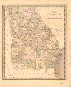
Georgia.
$350.00
Acquire
- Digital Map Information
- Suitable for large format printing
- DPI: 600
- File Size: 21.08 MB
- File Type: ZIP / TIFF
- ICC color profile embedded
- Delivered instantly via download link
This is Jeremiah Greenleaf's 1849 map of Georgia. The map illustrates Georgia during a period of economic growth, political stability, and cultural vibrancy, at the height of the state's pre-Civil War railroad boom. It notably predates the 1838 founding of Atlanta - at this time the capital was Milledgeville. (more details)
Includes Illinois' first railroad.
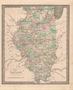
Illinois.
$350.00
Acquire
- Digital Map Information
- Suitable for large format printing
- Full resolution TIFF file
- ICC color profile embedded
- Delivered instantly via download link
This is Jeremiah Greenleaf's 1849 map of Illinois. It appeared in his Universal Atlas and is notable for its level of detail. (more details)
The Last Indians in Indiana.
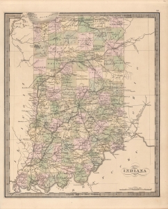
Indiana.
$350.00
Acquire
- Digital Map Information
- Suitable for large format printing
- Full resolution TIFF file
- ICC color profile embedded
- Delivered instantly via download link
This is Jeremiah Greenleaf's 1849 map of Indiana. It presents the state on the tail end of a process of the removal of native peoples and their replacement with White settlers. (more details)
From Chickasaw Territory to Cotton Belt.
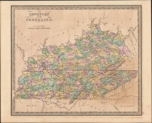
Kentucky and Tennessee.
$300.00
Acquire
- Digital Map Information
- Suitable for large format printing
- Full resolution TIFF file
- ICC color profile embedded
- Delivered instantly via download link
A hand-colored 1849 map of Kentucky and Tennessee by Jeremiah Greenleaf which appeared in his New Universal Atlas. (more details)
Pre Civil War Louisiana.
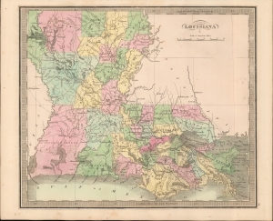
Louisiana
$350.00
Acquire
- Digital Map Information
- Suitable for large format printing
- DPI: 600
- File Size: 18.49 MB
- File Type: ZIP / TIFF
- ICC color profile embedded
- Delivered instantly via download link
This is Jeremiah Greenleaf's 1849 map of Louisiana. The map illustrates Louisiana during a period of economic growth, political stability, and cultural vibrancy. (more details)
Je me souviens.
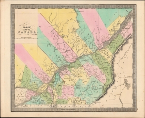
East Part of Canada.
$250.00
Acquire
- Digital Map Information
- Suitable for large format printing
- Full resolution TIFF file
- ICC color profile embedded
- Delivered instantly via download link
A bright, colorful example of Jeremiah Greenleaf's 1849 map of Lower Canada (Quebec). It was published at a time when tensions between Francophone and Anglophone residents of these territories, and between both groups and the British administration, were simmering. (more details)
Pre-Civil War - Post Trail of Tears.
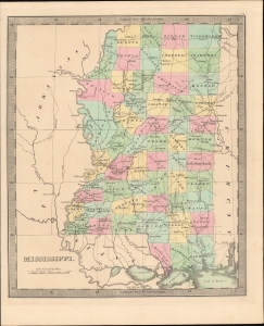
Mississippi.
$350.00
Acquire
- Digital Map Information
- Suitable for large format printing
- DPI: 600
- File Size: 18.65 MB
- File Type: ZIP / TIFF
- ICC color profile embedded
- Delivered instantly via download link
This is Jeremiah Greenleaf's 1849 map of Mississippi. The map illustrates Mississippi during a period of economic growth, political stability, and cultural vibrancy, at the height of the states pre-Civil War railroad boom. (more details)
Gateway to the West at the height of the Gold Rush.
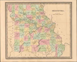
Map of the State of Missouri.
$350.00
Acquire
- Digital Map Information
- Suitable for large format printing
- DPI: 600
- File Size: 17.81 MB
- File Type: ZIP / TIFF
- ICC color profile embedded
- Delivered instantly via download link
This is Jeremiah Greenleaf's 1849 map of Missouri, illustrating the state in its heyday as the primary gateway to the west for 49ers following the California Gold Rush (more details)
Industry and Infrastructure.
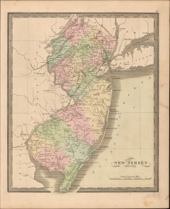
New Jersey.
$300.00
Acquire
- Digital Map Information
- Suitable for large format printing
- Full resolution TIFF file
- ICC color profile embedded
- Delivered instantly via download link
A superb example of Jeremiah Greenleaf's 1849 hand-colored map of New Jersey. Among other elements, it demonstrates the state's evolving industrial and transportation infrastructure, especially canals and railroads. (more details)
Pre-Railroad urban expansion.
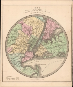
Map of Country Twenty Five Miles Round the City of New-York.
$400.00
Acquire
- Digital Map Information
- Suitable for large format printing
- DPI: 600
- File Size: 19.72 MB
- File Type: ZIP / TIFF
- ICC color profile embedded
- Delivered instantly via download link
This is Jeremiah Greenleaf's 1849 map of New York City and Environs. It reflects a comprehensive overview of the greater New York City area - no doubt influenced by information obtained by Burr in his position as Surveyor General of New York. (more details)
Territorial changes in the American West.
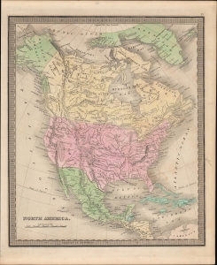
North America.
$350.00
Acquire
- Digital Map Information
- Suitable for large format printing
- Full resolution TIFF file
- ICC color profile embedded
- Delivered instantly via download link
A beautiful example of Jeremiah Greenleaf's 1849 map of North America that appeared in his New Universal Atlas. Greenleaf has updated earlier editions of the map to reflect changes in the intervening years, including the incorporation of Texas, California, and other lands into the United States and the settling of the borders of the Oregon Territory. (more details)
The heart of the Antebellum South.
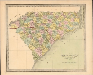
North and South Carolina.
$400.00
Acquire
- Digital Map Information
- Suitable for large format printing
- DPI: 600
- File Size: 204.42 MB
- File Type: ZIP / TIFF
- ICC color profile embedded
- Delivered instantly via download link
This is Jeremiah Greenleaf's 1849 map of North Carolina and South Carolina. (more details)
Across the Alleghenies.
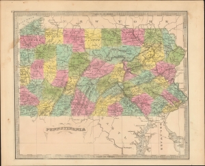
Pennsylvania.
$300.00
Acquire
- Digital Map Information
- Suitable for large format printing
- Full resolution TIFF file
- ICC color profile embedded
- Delivered instantly via download link
A striking hand-colored map of Pennsylvania published by Jeremiah Greenleaf for his 1849 New Universal Atlas. (more details)
Revolution roils the south.
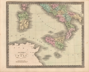
Southern Part of Italy.
$120.00
Acquire
- Digital Map Information
- Suitable for large format printing
- Full resolution TIFF file
- ICC color profile embedded
- Delivered instantly via download link
This is Jeremiah Greenleaf's 1849 map of southern Italy, produced during a period of political crisis for the region set off by the revolutions of 1848. (more details)
The emergence of a railroad nation.
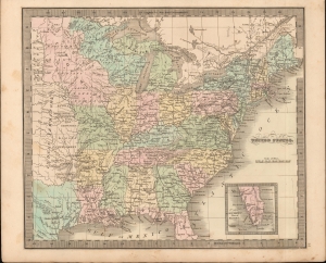
United States.
$350.00
Acquire
- Digital Map Information
- Suitable for large format printing
- DPI: 600
- File Size: 21.85 MB
- File Type: ZIP / TIFF
- ICC color profile embedded
- Delivered instantly via download link
This is Jeremiah Greenleaf's 1849 map of the United States. This map features numerous minor updates over earlier editions reflecting the explosive growth between 1835 and 1849. Of particular note are numerous updates in Texas and to the expanding railroad system. (more details)
Notes Jonathan Lewis' settlement in modern-day Miami.
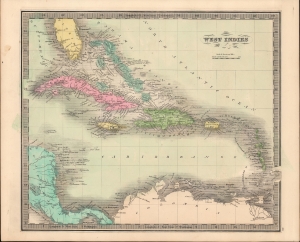
West Indies.
$225.00
Acquire
- Digital Map Information
- Suitable for large format printing
- DPI: 600
- File Size: 20.6 MB
- File Type: ZIP / TIFF
- ICC color profile embedded
- Delivered instantly via download link
This is Jeremiah Greenleaf's 1849 map of the West Indies and Florida. It is one of the few maps to illustrate the ephemeral settlement of Jonathan Lewis just south of the Miami River. (more details)
Industry and agriculture.
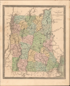
Vermont and New Hampshire.
$300.00
Acquire
- Digital Map Information
- Suitable for large format printing
- DPI: 600
- File Size: 23.46 MB
- File Type: ZIP / TIFF
- ICC color profile embedded
- Delivered instantly via download link
This is Jeremiah Greenleaf's 1849 map of Vermont and New Hampshire. (more details)
The Old Dominion.
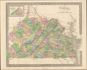
Virginia.
$350.00
Acquire
- Digital Map Information
- Suitable for large format printing
- DPI: 600
- File Size: 204.35 MB
- File Type: ZIP / TIFF
- ICC color profile embedded
- Delivered instantly via download link
This is Jeremiah Greenleaf's 1849 map of Virginia, including modern-day West Virginia. (more details)