Most recently added antique and rare maps as of 8/24/2025.
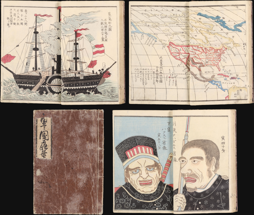
Spectacular full color, banned Account of the Perry Expedition.
$4,000.00
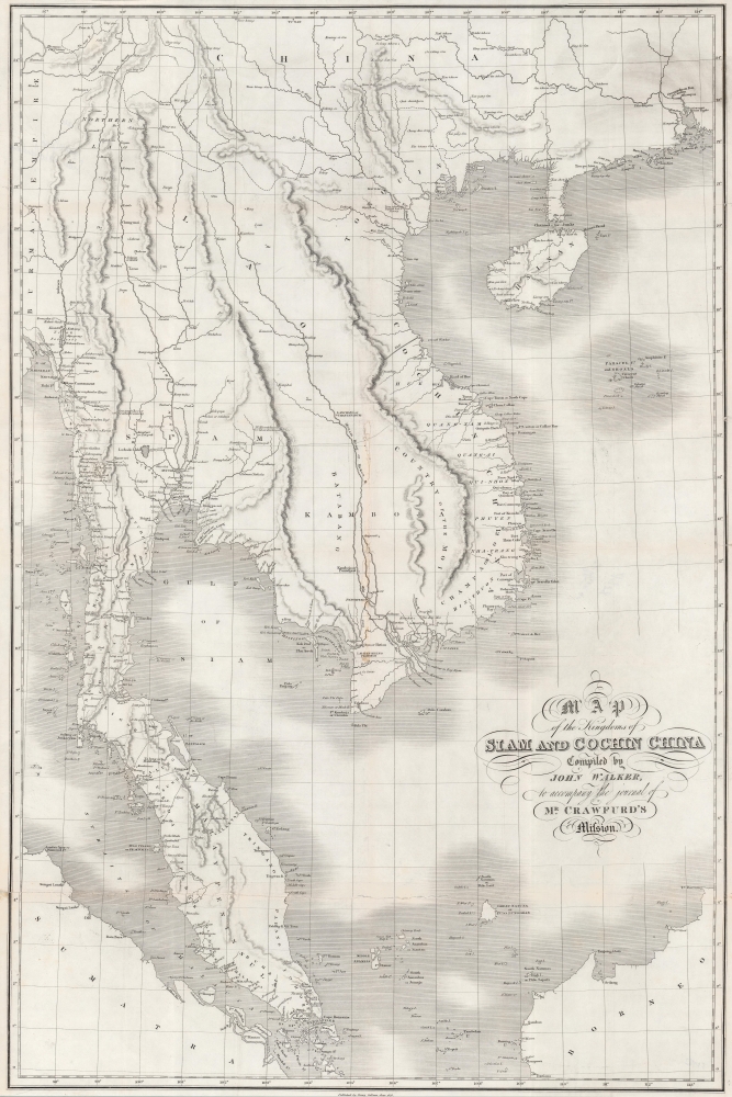
First accurate map of Thailand.
$2,800.00
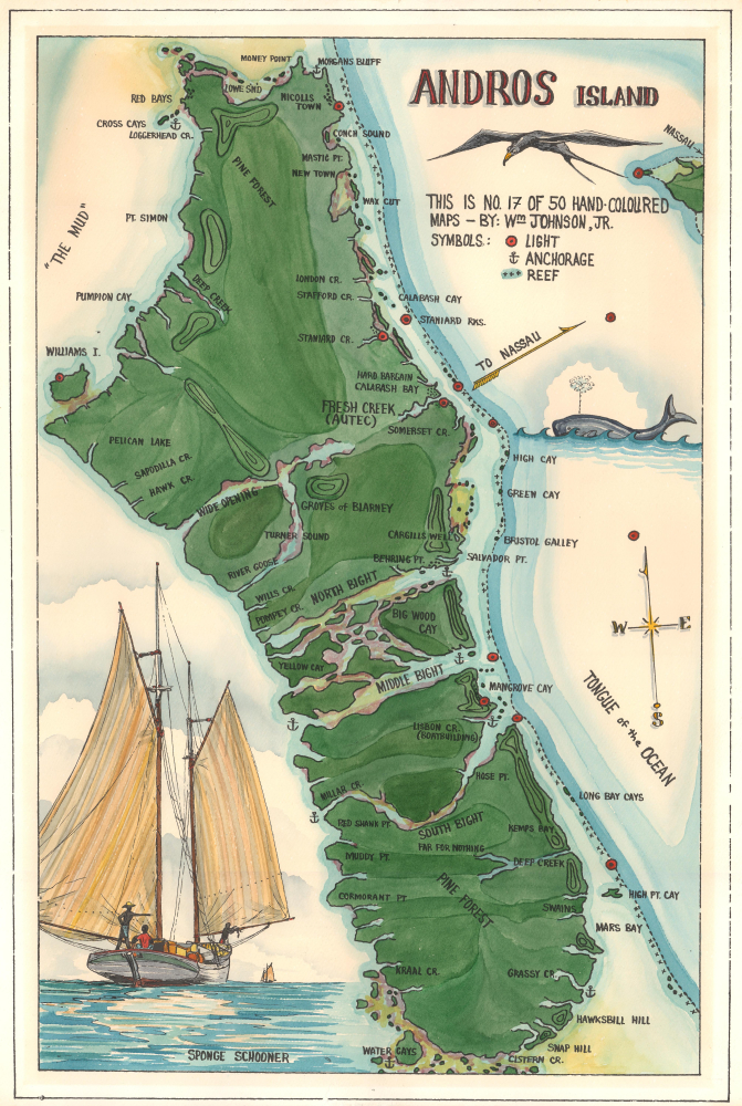
The largest island in the Bahamas.
$2,500.00
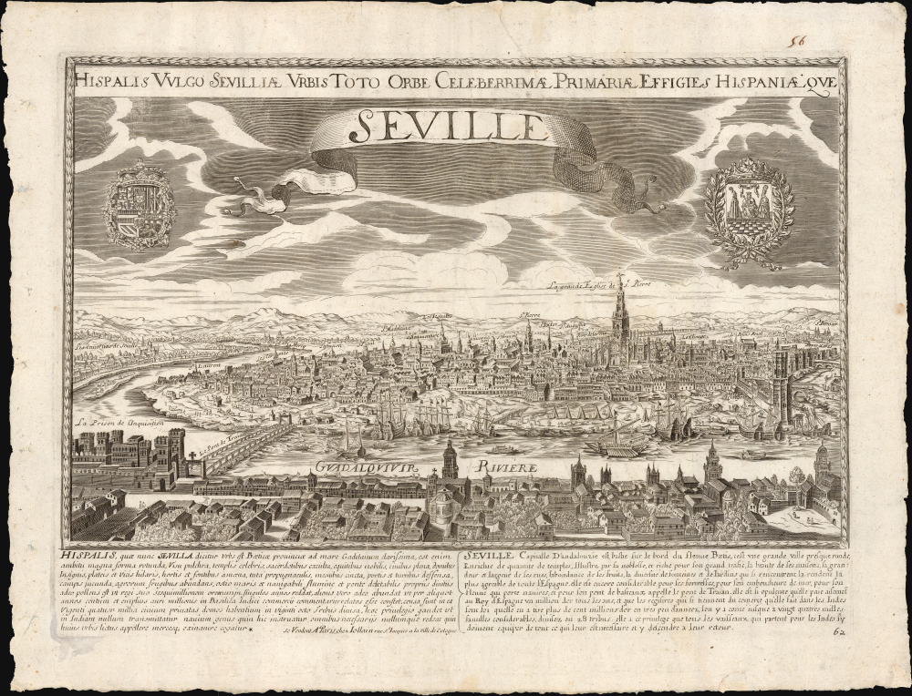
Rare, large-format view of Seville.
$2,000.00
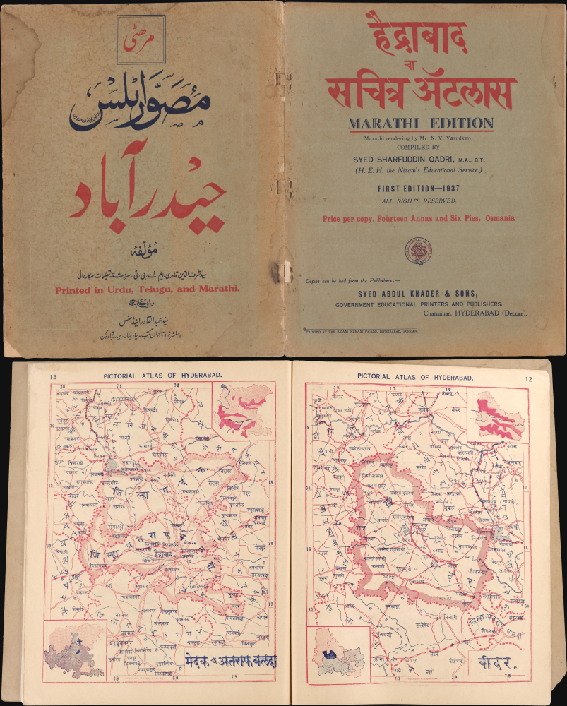
Unrecorded Marathi Hyderabad Atlas. Hyderabadi Nationalism.
$2,500.00
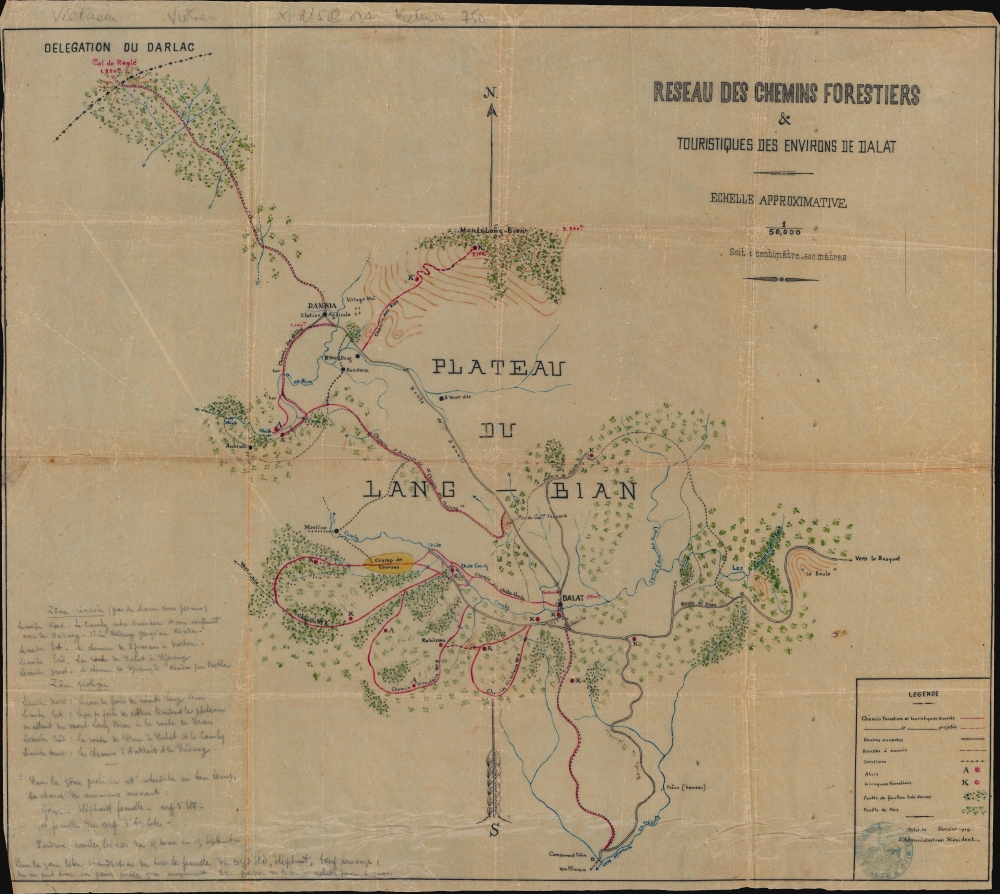
Hunting around the 'resort' town of Da Lat in French Indochina, modern-day Vietnam.
$1,500.00
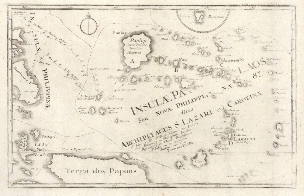
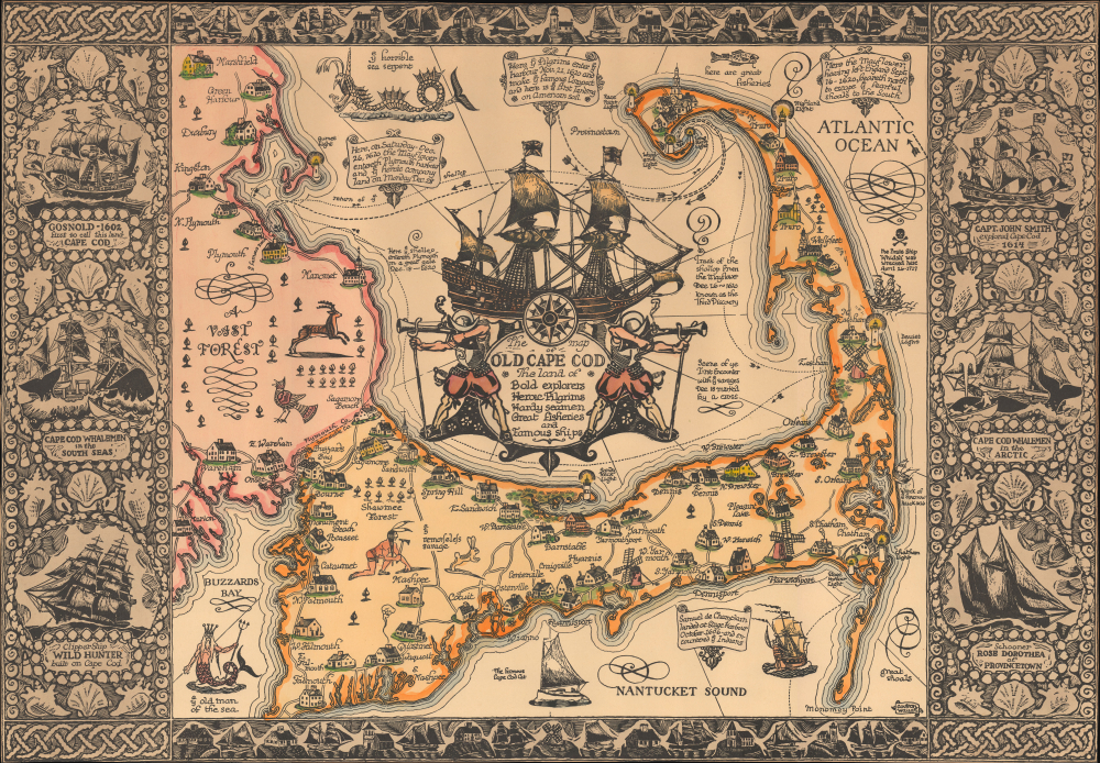
Mash-up of indigenous and European cartography.
$1,200.00
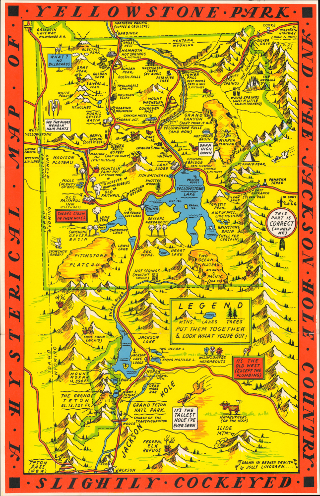
Silkscreened Example: Yellowstone Revisited.
$1,200.00
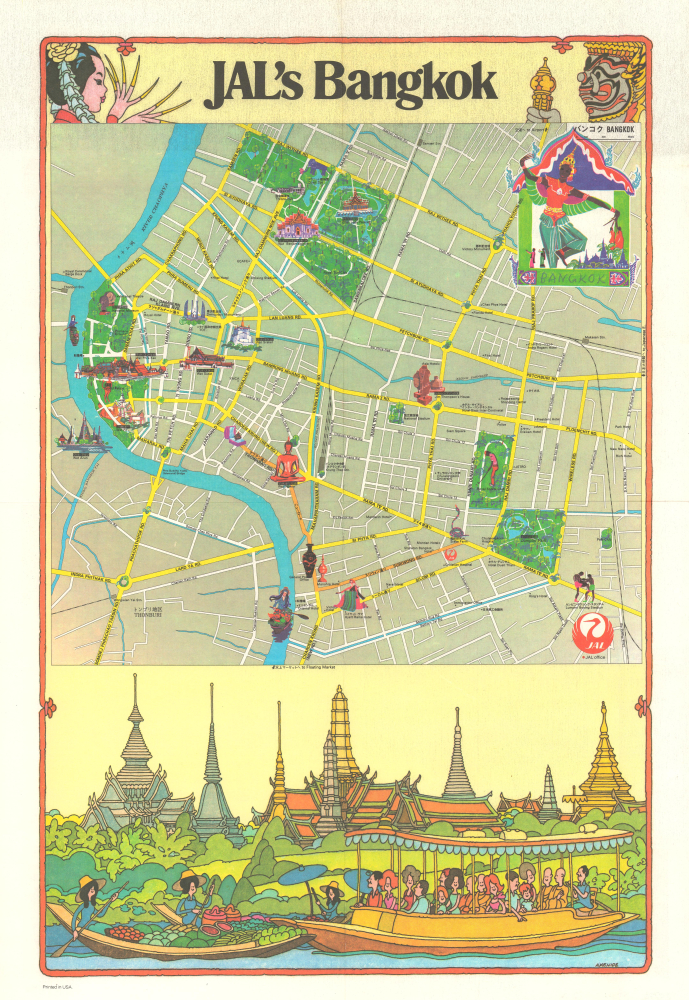
Democratization, Demilitarization, and Tourism.
$1,100.00
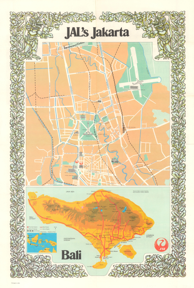
Beginnings of Bali's Tourism Boom.
$1,100.00
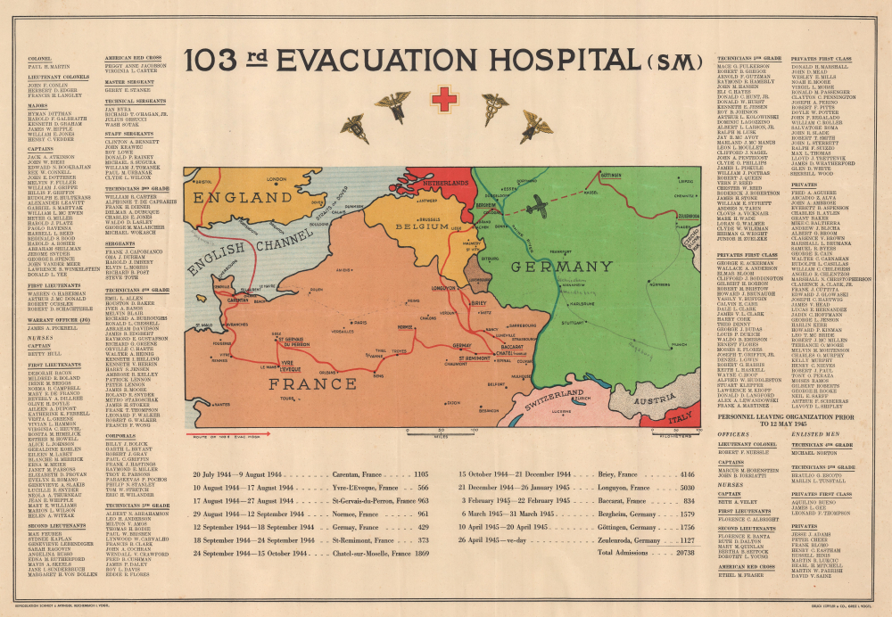
Evacuation hospital during World War II.
$1,000.00
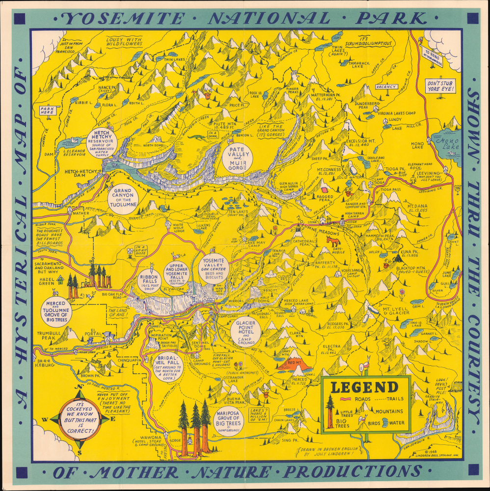
One of Lindgren's rarest National Park Maps.
$950.00
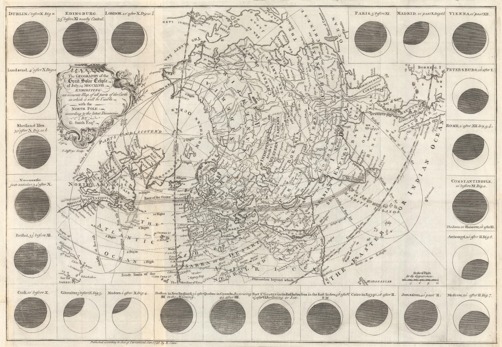
Predicts a Solar Eclipse and reveals Arctic Explorations.
$950.00
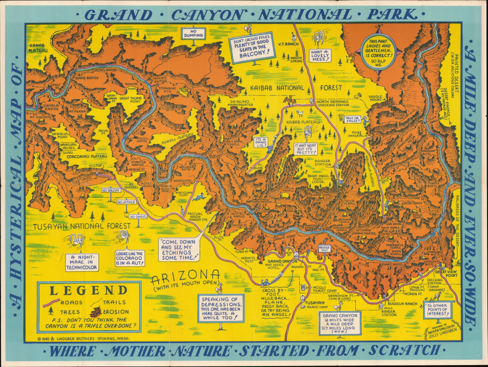
'... just the companion I want at Grand Canyon For throwing old blades down the rock...'
$650.00
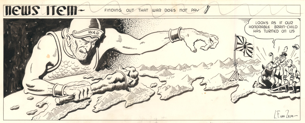
War coming for Japan.
$600.00
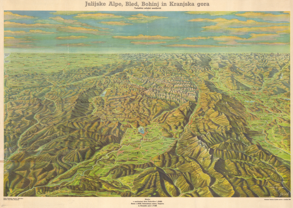
Spectacular Julian Alps, Slovenia.
$550.00
Impressive deluxe edition of an iconic map.
$1,300.00
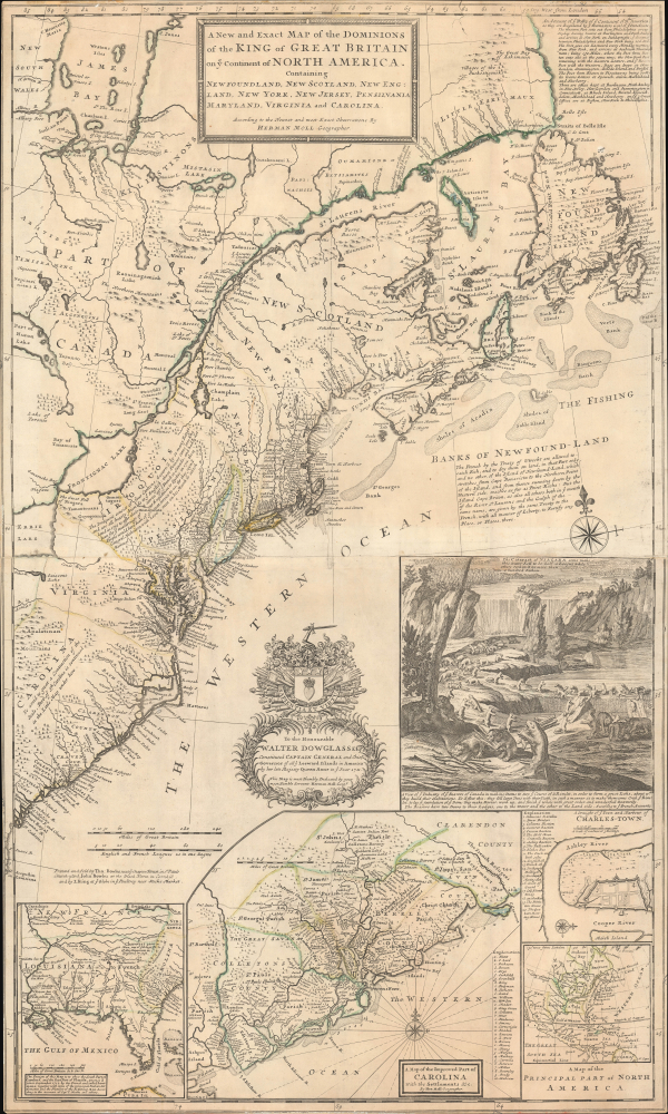
First large-scale map to show American postal routes.
$11,000.00

