
Horsburgh, James (sold)
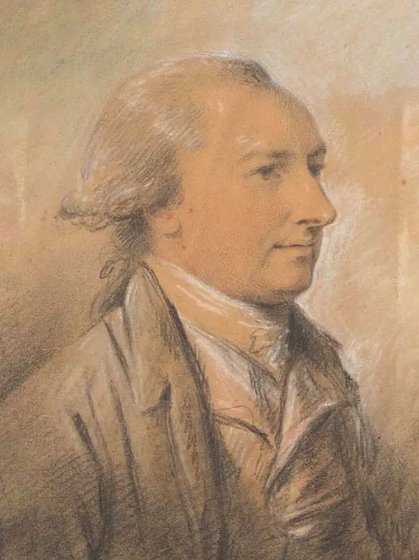
James Horsburgh (September 28, 1762 – May 14, 1836) was a Scottish hydrographer and navigator active in the late 18th and early 19th century. Horsburgh was born in Fife, Elie, Scotland, to a humble family. Like many young Scottish men of little means, Horsburgh was destined for a sea-faring life and at just 16 signed on as a cabin boy in a coal trading ship. After many misadventures, including a brief incarceration by the French at Dunkirk, Horsburgh made his way to the West Indies and eventually to Calcutta, India. As the center for British maritime trade in the region, Horsburgh had no difficulty finding work with the British East India Company who maintained an active trade network between India and China. Despite the regular trade, one these voyages to China, aboard the ironically named Atlas, taught Horsburgh just how poorly the East Indies were charted. The 1786 shipwreck of the Atlas, on which he was the First Mate, near Diego Garcia Island proved a pivotal moment Horsburgh's life. He subsequently devoted himself to accurately charting the Indian Ocean and the dangerous Straits of Malacca, Sunda, and Singapore. Many of Horsburgh's charts are the direct results of his own unique survey work on board the Carron and later as captain of the Anna. Horsburgh's work culminated in the publication if his 1809 Directions for Sailing to and from the East Indies, China, New Holland, Cape of Good Hope, and the Interjacent Ports, a monumentally important guide to navigating the waters of the Indian Ocean and the East Indies. His work earned him friendships in London's highest naval and scientific circles, among them Joseph Banks and Alexander Dalrymple. He became a member of the Royal Society in 1806, when he retired from active sailing. When Alexander Dalrymple died in 1810, Horsburgh was appointed to the prestigious position of Hydrographer to the British East India Company where he worked until his death in 1836. Whereas Dalrymple was somewhat indiscriminate regarding the charts he published, Horsburgh was exacting and double checked the veracity of each and every chart that passed through his office. Horsburgh's work with the East India Company elevated the standards of the Hydrographic Department and earned him a Fellowship with the Royal Society. Today's Horsburgh's accomplishments are memorialized by the Horsburgh Lighthouse, near Singapore, and Horsburgh Island. When Horsburgh died most of his work was passed by his children to the Admiralty, which continued to publish updates until roughly 1864.
Key segment in the India and China Trade.
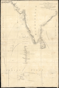
To Capt. P. Heywood R.N. as a testimony of gratitude for his liberal and voluntary assistance in nautical research and as a tribute of regard and esteem this chart intended as an accompaniment to the Book of directions for navigating to, from and in the East Indies.
sold
- Digital Map Information
- Suitable for large format printing
- File Size: 32.66 MB
- File Type: ZIP / TIFF
- ICC color profile embedded
- Delivered instantly via download link
This 1811 chart of the Indian Ocean was engraved by John Walker and produced by James Horsburgh, one of the most accomplished hydrographers of the early 19th century, and is addressed to Peter Heywood, himself an expert hydrographer with the Royal Navy. (more details)
The earliest functional chart of the Maldives.
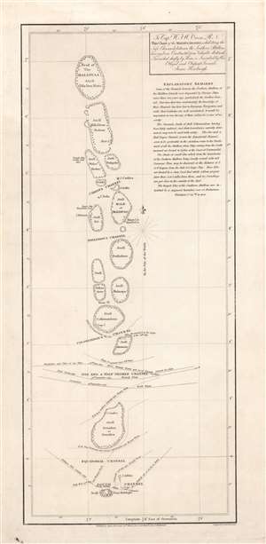
To Capt. W.F.W. Owen R.N. this chart of the Maldiva Islands, exhibiting the safe channels between the southern attollons.
sold
- Digital Map Information
- Suitable for large format printing
- DPI: 600
- File Size: 8.24 MB
- File Type: ZIP / TIFF
- ICC color profile embedded
- Delivered instantly via download link
This is a rare 1814 James Horsburgh nautical map of the central part of the Maldives or Maldivian Archipelago around Malé. Although seemingly simplistic, Horsburgh's chart marks a major advance in Europeans' geographical and hydrological knowledge of the archipelago. The dangerous, near impassible reefs, had long served as the archipelago's most effective and only line of defense against foreign imperialistic interests. This chart partially opened the islands to foreign navigation and marked the beginning of a long period of European influence. This Horsburgh chart served as the definitive mapping of the Maldives until the Robert Moresby surveys of 1834 - 1836. (more details)
Sail the Eastern Philippines.
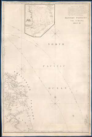
Eastern Passages to China Sheet III.
sold
- Digital Map Information
- Suitable for large format printing
- DPI: 600
- File Size: 24.52 MB
- File Type: ZIP / TIFF
- ICC color profile embedded
- Delivered instantly via download link
This is an 1828 James Horsburgh blueback nautical chart or maritime map of the eastern Philippines, including the islands of Samar, Leyte, and Cebu (Zebu), as well as parts of the islands of Luzon (Luconia), Panay, Negros, and Mindanao. Numerous coastal locations are labeled on many of the Philippine Islands, including Cebu City (Zebu), as well as points, straits, and bays. Myriad smaller islands are also identified, and Palau (Pellew Islands) is illustrated in the lower right corner. A detailed inset map of Manila Bay is situated along the top border and features numerous depth soundings, identifies coastal settlements, and the lighthouse at Manila. (more details)
Extremely scarce early nautical chart of the East Indies and Singapore.
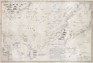
China Sea Sheet 1. To Capt. D. Ross and His Assistants Lieut. P. Maugham, J. Crawford, and J. Houghton, of the Bombay Marine; Who under the auspices of the Honble East India Company, having performed with Arduous Zeal a difficult and dangerous Exploration of the China Sea, so Essential to the safety of Navigation, This Chart Although with an extension of Limits being Chiefly Construction from Their Valuable Surveys, is now Inscribed as a Tribute due to Those Laudable Exertions By their Sincerely Obliged Friend, James Horsburgh.
sold
- Digital Map Information
- Suitable for large format printing
- DPI: 300
- File Size: 41.26 MB
- File Type: ZIP / TIFF
- ICC color profile embedded
- Delivered instantly via download link
An extremely scarce 1842 James Horsburgh nautical chart of parts of the east Indies and Southeast Asia, including Singapore, Malay, Borneo and Cambodia. Centered on northern Borneo, this chart covers from Malay and Singapore to the Celebes and from the Gulf of Siam ... (more details)
Extremely scarce nautical chart of Singapore and Malacca - the most desirable of Horsburgh's influential nautical charts.

To the Honourable The Court of Directors of the United East India Company This Chart of Malacca Strait Singapore Strait and the Southernmost Promontory of Asia Is Inscribed by Their Faithful and Obedient Servant James Horsburgh.
sold
- Digital Map Information
- Suitable for large format printing
- DPI: 300
- File Size: 31.46 MB
- File Type: ZIP / TIFF
- ICC color profile embedded
- Delivered instantly via download link
An extremely scarce 1844 James Horsburgh nautical chart of southern Malaysia, Singapore, and the straits of Malacca and ... (more details)
Early French nautical chart of the East Indies, including Singapore, based upon the work of Horsburgh.
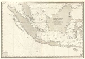
Carte des Iles Sumatra, Java et Borneo et des mers Environnates.
sold
- Digital Map Information
- Suitable for large format printing
- DPI: 300
- File Size: 26.14 MB
- File Type: ZIP / TIFF
- ICC color profile embedded
- Delivered instantly via download link
An uncommon and impressive 1848 French Depot-General de la Marine nautical chart or maritime map of the east Indies. ... (more details)
Rare early Horsburgh chart of the waters around Hong Kong issued shortly after the Crown Colony's founding.
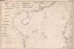
China Sea. Sheet II.
sold
- Digital Map Information
- Suitable for large format printing
- DPI: 300
- File Size: 18.5 MB
- File Type: ZIP / TIFF
- ICC color profile embedded
- Delivered instantly via download link
An attractive example of James Horsburgh's rare 1848 China Trade nautical chart or Maritime map of the South China ... (more details)
Horsburgh chart of Singapore as the epicenter of British Power in east Asia.
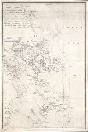
To James Carnegy and R. Scott Esqrs. of Prince of Wales Island As a Tribute due for their valuable Communications which have been of great Assistance in the construction of this chart of the Islands and Channels at the Southwest Extremity of the China Sea. It is not Inscribed by their Obliged Friend James Horsburgh.
sold
- Digital Map Information
- Suitable for large format printing
- DPI: 600
- File Size: 1154.6 MB
- File Type: ZIP / TIFF
- ICC color profile embedded
- Delivered instantly via download link
The rare 1850 final edition of the James Horsburgh nautical map of Singapore and the surrounding waters when it was the epicenter of British power in the East Indies. The chart covers the southern extreme of the Malay Peninsula, including all of Singapore Island and Singapore Strait, as well as adjacent islands and parts of eastern Sumatra. It was Horsburgh's first chart of the dangerous waters surrounding the Strait of Singapore and was the definitive mapping of these seas for nearly 30 years. (more details)
Best early nautical chart of Singapore.
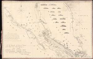
To The Honourable The Court of Directors of the United East India Company This Chart of Malacca Strait Singapore Strait and the Southernmost Promontory of Asia, is Inscribed by their Faithful and Obedient Servant James Horsburgh.
sold
- Digital Map Information
- Suitable for large format printing
- File Size: 27.57 MB
- File Type: ZIP / TIFF
- ICC color profile embedded
- Delivered instantly via download link
This 1857 nautical chart or maritime map of the Strait of Singapore and the southern part of the Malacca Strait is considered to be James Horsburgh's most desirable chart. Made for the British East India Company, this is one of the first charts to accurately map these heavily trafficked but treacherous straits. The chart covers the Malay peninsula roughly from Penang (Prince of Wales Island) to the island of Singapore and from the Sumatran coast to the China Sea. It features sixteen profile views as well as countless depth soundings, especially around the dangerous southern part of the Malacca Strait in the vicinity of Singapore. (more details)