
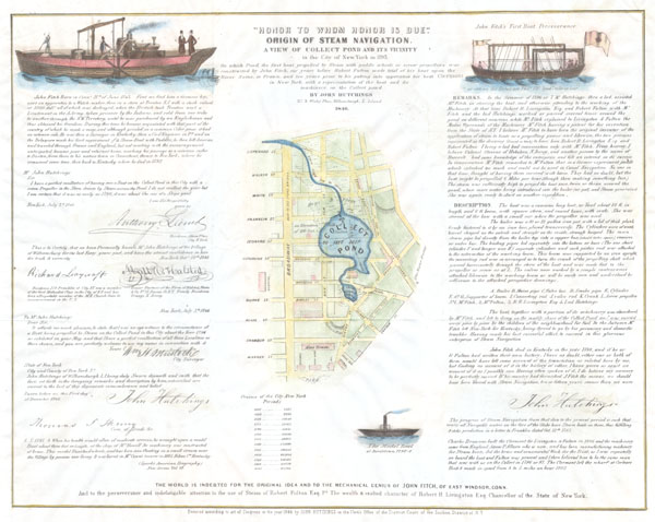
Honor to Whom Honor is Due' Origin of Steam Navigation. A View of Collect Pond and Its Vicinity in the City of New York in 1793'
sold
- Digital Map Information
- Suitable for large format printing
- DPI: 300
- File Size: 2.83 MB
- File Type: ZIP / TIFF
- ICC color profile embedded
- Delivered instantly via download link
An extremely scarce 1846 broadside issued by John Hutchings to promote the awareness of John Fitch as a pioneer of steam navigation. Fitch was an instrument maker working in the later part of the 18th century. As an early pioneer of steam navigation, Fitch tested ... (more details)

Sketch B No. 3 Showing the Triangulation & Geographical Positions in Section No. II From New York City to Cape Henlopen.
sold
- Digital Map Information
- Suitable for large format printing
- File Size: 18.61 MB
- File Type: ZIP / TIFF
- ICC color profile embedded
- Delivered instantly via download link
An exceptional example of the 1873 U.S. Coast Survey's progress nautical chart for New Jersey and the Delaware Bay. Covers the coast line from New York City south through New Jersey to Cape Henlopen, and from the Delaware Bay north, along the Delaware River, as ... (more details)
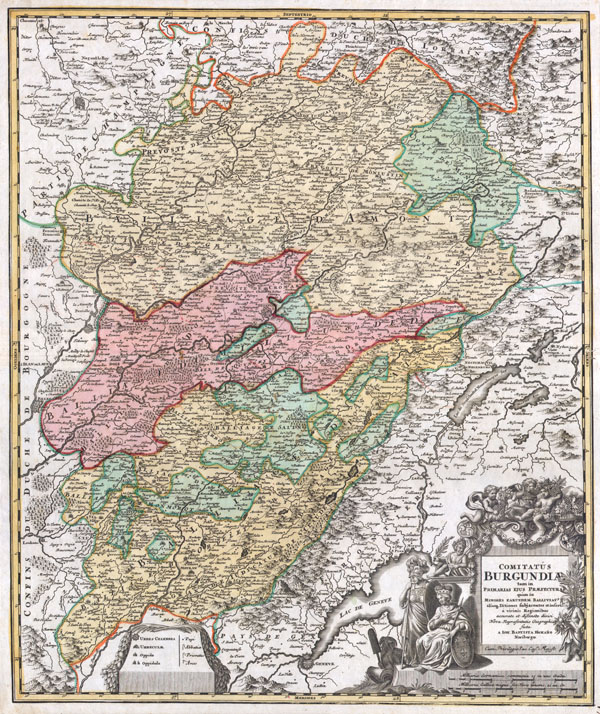
Comitatus Burgundiae tam in Primarias Ejus Praefecturas quam in Minores Earundem Balliviat aliasq, Ditiones Gubjacentes Eninfert a vicinis Regionibus accurate et diftinete divisi Nova Representation Geographic facta A Joh. Baptista Homano Noribergae..
sold
- Digital Map Information
- Suitable for large format printing
- DPI: 300
- File Size: 10.72 MB
- File Type: ZIP / TIFF
- ICC color profile embedded
- Delivered instantly via download link
A fine example of Homann's 1716 map of Burgundy, one of France's most important wine regions. Extends to include Lake Geneva in the southwest, Lorraine in the north, Champaigne (Champagne) and Angers to the northwest and Bourgogne to the west. Depicts ... (more details)

Sketch B. No. 2 Showing the Triangulation & Geographical Positions in Section No. II From New York City to Point Judith.
sold
- Digital Map Information
- Suitable for large format printing
- File Size: 17.46 MB
- File Type: ZIP / TIFF
- ICC color profile embedded
- Delivered instantly via download link
An exceptional example of the 1873 U.S. Coast Survey's progress nautical chart for Long Island, New York. Covers from Staten Island and New York City eastward along Long Island and the coast of Connecticut to Block Island and Point Judith. Shows ... (more details)
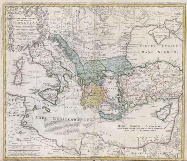
Imperii Turcici Europaei Terra, in primis Graecia cum consiniis ad intelligendos Scriptores N.T. ceterospue graecos et latinos accomodata, In Usum Principis Iuventutis in heredem nati, Ducis Brunsuico - Luneburgi Caroli Wilhelmi Ferdinandi ad ornavit Ioannes Christoph Harenberg. Gen. Sch Insp. et Reg Scient, Societ Berol. Sodal. Curantibus Homannianis Heredibus. A. 1741 cu. Arivil. S. C.M.
sold
- Digital Map Information
- Suitable for large format printing
- DPI: 300
- File Size: 8.12 MB
- File Type: ZIP / TIFF
- ICC color profile embedded
- Delivered instantly via download link
This is one of the Homann Heirs finest and most appealing maps of the ancient Greek World. Map centers on Greece but includes the entirety of the eastern Mediterranean and North Africa. Also includes the Black Sea as far as the Crimea and the ... (more details)

Sketch D Showing the Progress of the Survey in Section No. IV from 1845 to 1873.
sold
- Digital Map Information
- Suitable for large format printing
- File Size: 34.41 MB
- File Type: ZIP / TIFF
- ICC color profile embedded
- Delivered instantly via download link
An exceptional example of the 1873 U.S. Coast Survey's progress chart of the North Carolina and South Carolina. Covers from Cape Henry, Virginia, south past the Pamplico Sound and Cape Hatteras, to Cape Fear. It was here, looking over the ... (more details)

上海 : 揚子江東部一般圖 : 陸地測量部許可 : 報知新聞附錄 / Shanghai : Yōsukō tōbu ippan-zu : Rikuchi Sokuryōbu kyoka : Hōchi Shinbun furoku
sold
- Digital Map Information
- Suitable for large format printing
- Full resolution TIFF file
- ICC color profile embedded
- Delivered instantly via download link
This Showa 7 or June of 1932 map depicts the city of Shanghai, China. This map was issued as a supplement to Hōchi Shinbun (報知新聞) on the 11th of February, 1932. The first 'Shanghai Incident' between the Japanese and Chinese forces ... (more details)
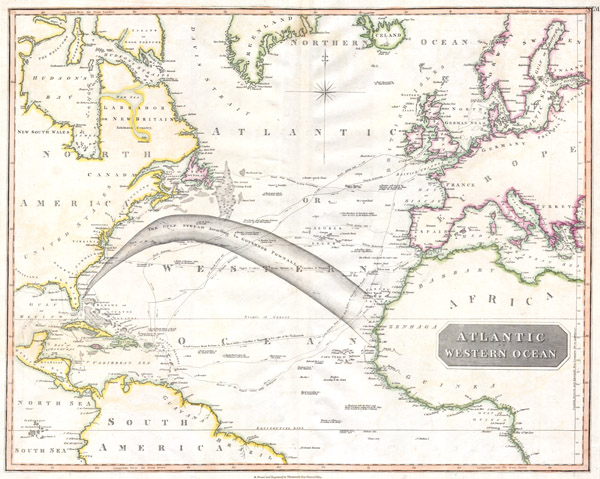
Atlantic or Western Ocean.
sold
- Digital Map Information
- Suitable for large format printing
- DPI: 300
- File Size: 9.04 MB
- File Type: ZIP / TIFF
- ICC color profile embedded
- Delivered instantly via download link
This fascinating hand colored 1814 map by Edinburgh cartographer John Thomson depicts the northern part of the Atlantic Ocean. Extends as for north as Iceland and as far south as Brazil and the Congo. Made during the Napoleonic wars, this ... (more details)

Sketch C Showing the Progress of the Survey in Section III From 1843 to 1873.
sold
- Digital Map Information
- Suitable for large format printing
- File Size: 40.9 MB
- File Type: ZIP / TIFF
- ICC color profile embedded
- Delivered instantly via download link
An exceptional example of the 1873 U.S. Coast Survey's progress chart for the Chesapeake Bay and Delaware Bay Region. Covers from the mouth of the Susquehanna to Back Bay North Carolina, west as far as Washington D.C. and Richmond, and ... (more details)
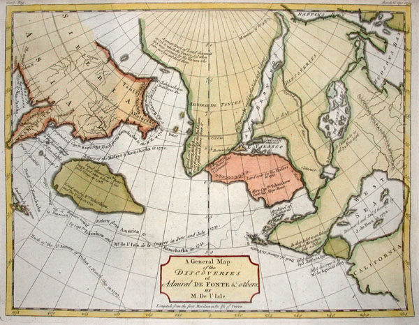
A General Map of the Discoveries of Admiral De Fonte & Others by M. De L’Isle
sold
- Digital Map Information
- Suitable for large format printing
- Full resolution TIFF file
- ICC color profile embedded
- Delivered instantly via download link
This hand colored map is entitled 'A General Map of the Discoveries of Admiral De Fonte & Others by M. De L'Isle' and was published in Gentleman's Magazine, 1754. This map depicts the mythical Northwest Sea Passage from Atlantic to ... (more details)
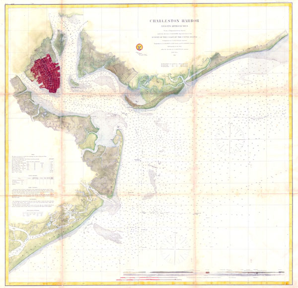
Charleston Harbor and its Approaches.
sold
- Digital Map Information
- Suitable for large format printing
- Full resolution TIFF file
- ICC color profile embedded
- Delivered instantly via download link
This is of the rarest and earliest obtainable large format depictions of Charleston Harbor and its approaches. Depicts the city of Charleston in a block layout with docks and some commercial buildings located. Places Hog Island, ... (more details)

Turkey in Europe, and Hungary.
sold
- Digital Map Information
- Suitable for large format printing
- DPI: 300
- File Size: 7.16 MB
- File Type: ZIP / TIFF
- ICC color profile embedded
- Delivered instantly via download link
A fine 1799 map of Greece, the Balkans, and Turkey in Europe by the English map publisher Clement Cruttwell. Covers from Hungary and Moldavia in the north, down to Crete (Candia) in the south; and from Croatia in the west to ... (more details)

Muskeget Channel Massachusetts.
sold
- Digital Map Information
- Suitable for large format printing
- Full resolution TIFF file
- ICC color profile embedded
- Delivered instantly via download link
A very appealing color example one of the better mid-19th century large format nautical maps or charts of Martha's Vineyard. This rare map depicts most of the island of Marthas Vineyard though does cut out its southwestern ... (more details)

Italy & c:
sold
- Digital Map Information
- Suitable for large format printing
- DPI: 300
- File Size: 7.63 MB
- File Type: ZIP / TIFF
- ICC color profile embedded
- Delivered instantly via download link
A fine 1799 map of Italy by the English map publisher Clement Cruttwell. Shows the entire country including the islands of Sicily, Sardinia, and Corsica, and Malta. Includes the regions Piedmont, Savoy, Allesandrine, ... (more details)
1864 U.S.C.S. Chart of the Mississippi River Grand Gulf to New Carthage (Jefferson Davis Plantation)
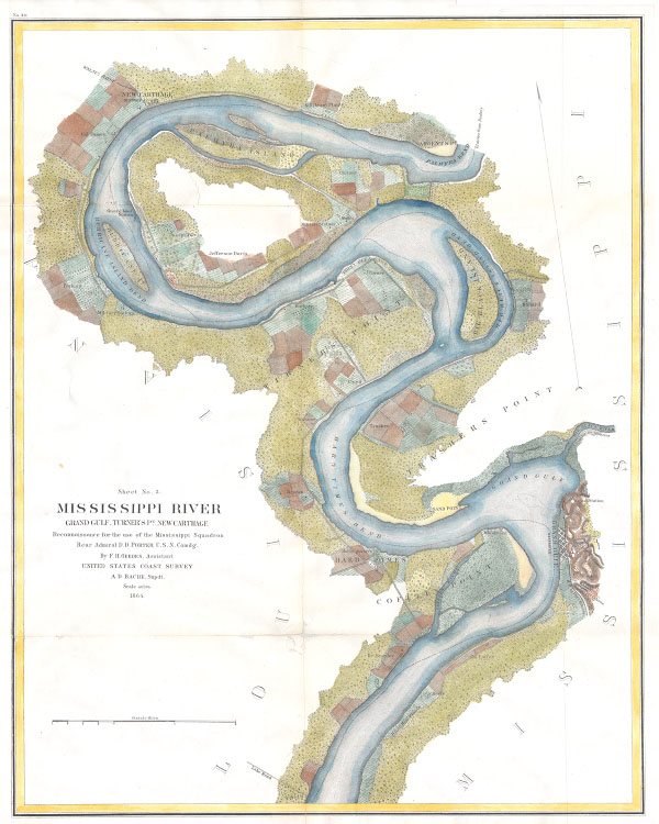
Mississippi River Grand Gulf, Turner’s Point, New Carthage Reconnaissance for the use of the Mississippi Squadron
sold
- Digital Map Information
- Suitable for large format printing
- File Size: 3.46 MB
- File Type: ZIP / TIFF
- ICC color profile embedded
- Delivered instantly via download link
This is a beautiful hand colored 1864 United States Costal Survey chart or map of a sinuous part of the Mississippi River from Grand Gulf, Mississippi to New Carthage, Louisiana. The bends in the river are named, as ... (more details)

Southern Part of Ireland.
sold
- Digital Map Information
- Suitable for large format printing
- DPI: 300
- File Size: 8.95 MB
- File Type: ZIP / TIFF
- ICC color profile embedded
- Delivered instantly via download link
A scarce 1814 map of southern Ireland by John Thomson. Depicts the island from Galway south including Limerick, Munster, Cork, Leister, Kilkenny, and Wexford, among other regions. Bottom right features an engraved ... (more details)

Mexico.
sold
- Digital Map Information
- Suitable for large format printing
- Full resolution TIFF file
- ICC color profile embedded
- Delivered instantly via download link
This hand colored map is a steel plate engraving, dating to 1811 by the important English mapmaker John Pinkerton. It is an early and historically important representation of Mexico. Pinkerton maps are known for ... (more details)

Tienjien.
sold
- Digital Map Information
- Suitable for large format printing
- File Size: 5.82 MB
- File Type: ZIP / TIFF
- ICC color profile embedded
- Delivered instantly via download link
This is an extremely rare map of the Chinese city of Tianjin ( Tientsiin or Tienjien ). Depicts the whole city on the street level with colored areas indicated the British, French Italian, German and Japanese ... (more details)

France, Divided into Provinces.
sold
- Digital Map Information
- Suitable for large format printing
- DPI: 300
- File Size: 8.02 MB
- File Type: ZIP / TIFF
- ICC color profile embedded
- Delivered instantly via download link
A fine 1799 map of France Divided into Provinces by the English map publisher Clement Cruttwell. France was organized into provinces until March 4, 1790, when the establishment of the department system ... (more details)

Map of Soochow for Travelers.
sold
- Digital Map Information
- Suitable for large format printing
- File Size: 4.73 MB
- File Type: ZIP / TIFF
- ICC color profile embedded
- Delivered instantly via download link
This extremely rare map is a street plan of Soochow ( Suzhou ) China. Published by WenYi press of Suzhou. Suzhou was the cradle of the Wu Culture and is today one off the most beautiful and interesting ... (more details)