
Pinkerton, John
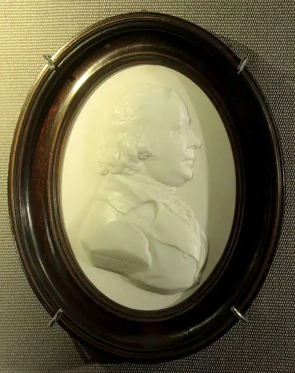
John Pinkerton (February 17, 1758 - March 10, 1826) was an Scottish writer, historian, and cartographer. Pinkerton was born in Edinburgh, Scotland. He was a studious youth with a passion for the classics. As a young man, he studied at Edinburgh University before apprenticing as a lawyer. Around this time, he began writing, with his first book, Elegy on Craigmillar Castle published in 1776. Pinkerton moved to London in 1781 to pursue his writing career in earnest. He successfully published several works of literature, poetry, and history. Pinkerton proved passionate in his literary and historical writings, but his correspondence with other cartographers has been labeled as aggressive, even insane. In addition to his work as a writer and historian, Pinkerton was one of the leading masters of the Edinburgh school of cartography which flourished from roughly 1800 to 1830. Pinkerton and his contemporaries (Thomson and Cary) redefined European cartography by abandoning typical 18th century decorative elements such as elaborate title cartouches and fantastical beasts in favor of detail and accuracy. Pinkerton's principle work is Pinkerton's Modern Atlas published from 1808 through 1815 with a special American reissue by Dobson and Co. in 1818. Pinkerton relocated to Paris in 1818, where he managed his publishing business until his death in 1826.
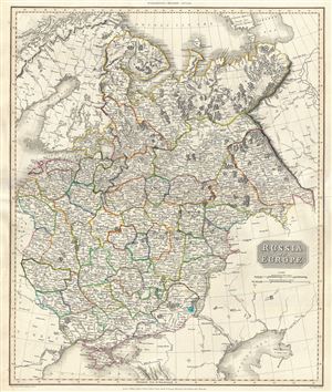
Russia in Europe.
$350.00
Acquire
- Digital Map Information
- Suitable for large format printing
- DPI: 300
- File Size: 18.39 MB
- File Type: ZIP / TIFF
- ICC color profile embedded
- Delivered instantly via download link
This impressive 1811 map of the European part of Russia is beautifully engraved in the minimalist English style pioneered in the early part of the 19th century. In 1815 Tsarist Russia emerged from the Napoleonic Wars economically insolvent and politically ... (more details)
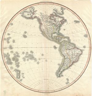
[Western Hemisphere].
$600.00
Acquire
- Digital Map Information
- Suitable for large format printing
- DPI: 300
- File Size: 13.54 MB
- File Type: ZIP / TIFF
- ICC color profile embedded
- Delivered instantly via download link
This is a scarce, beautiful, and exceptionally interesting example of John Pinkerton's stunning 1812 map of the Western Hemispheres. The map is a representation of North America and South America from the perspective of the Western Hemisphere. ... (more details)
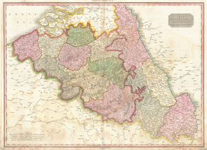
The Netherlands and the Countries to the Left Bank of the Rhine.
$250.00
Acquire
- Digital Map Information
- Suitable for large format printing
- Full resolution TIFF file
- ICC color profile embedded
- Delivered instantly via download link
Pinkerton's extraordinary 1818 map of Belgium. Covers what is essentially today's Belgium between the Dutch Brabant and France. When this map was drawn this area was united with what is today Holland under Napoleon and the French Empire. ... (more details)
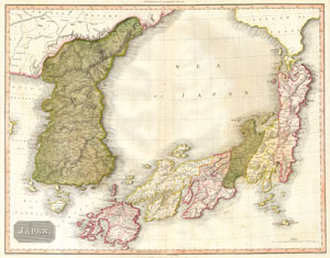
Japan
$700.00
Acquire
- Digital Map Information
- Suitable for large format printing
- Full resolution TIFF file
- ICC color profile embedded
- Delivered instantly via download link
A masterpiece. This fascinating hand colored 1818 map by Edinburgh cartographer John Pinkerton depicts Korea (Corea) and Japan. A spectacular, highly detailed map of this fascinating region with spectacular engraving, practically leaps off ... (more details)
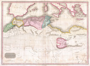
Northern Africa.
$300.00
Acquire
- Digital Map Information
- Suitable for large format printing
- DPI: 300
- File Size: 18.59 MB
- File Type: ZIP / TIFF
- ICC color profile embedded
- Delivered instantly via download link
This fascinating hand colored 1818 map by Edinburgh cartographer John Pinkerton depicts northern Africa. Covers from Morocco to Siwa (Siwah) Oasis in the Libyan Desert. Focuses Morocco and the Mediterranean regions of Fez, Algeria, ... (more details)
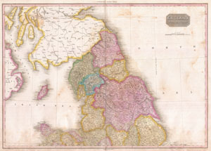
England Northern Part.
$300.00
Acquire
- Digital Map Information
- Suitable for large format printing
- DPI: 300
- File Size: 19.23 MB
- File Type: ZIP / TIFF
- ICC color profile embedded
- Delivered instantly via download link
Pinkerton's extraordinary 1818 map of the northern part of England. Covers from Cheshire and Lincoln in the south to Scotland in the north. Includes part adjacent Scotland and Ireland. Covers the entire region in considerable ... (more details)
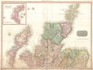
Scotland Northern Part.
$300.00
Acquire
- Digital Map Information
- Suitable for large format printing
- DPI: 300
- File Size: 20.34 MB
- File Type: ZIP / TIFF
- ICC color profile embedded
- Delivered instantly via download link
Pinkerton's extraordinary 1818 map of the northern part of Scotland. Covers from the Isle of Skye (Skey) to the Orkney Islands. Covers the entire region in considerable detail with political divisions and color coding at the ... (more details)
A significant advance in the mapping of South America.
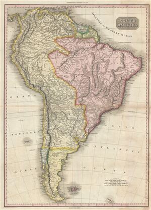
South America.
$300.00
Acquire
- Digital Map Information
- Suitable for large format printing
- DPI: 300
- File Size: 20.03 MB
- File Type: ZIP / TIFF
- ICC color profile embedded
- Delivered instantly via download link
Pinkerton's extraordinary 1818 map of South America. Covers the entire continent from Panama to Tierra del Fuego. Includes the Falklands and South Gerogia Island. Pinkerton offers impressive detail throughout noting indigenous ... (more details)
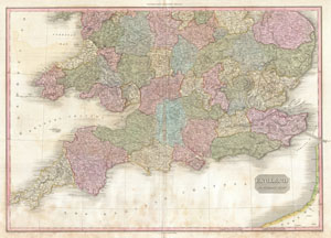
England Southern Part.
$350.00
Acquire
- Digital Map Information
- Suitable for large format printing
- Full resolution TIFF file
- ICC color profile embedded
- Delivered instantly via download link
Pinkerton's extraordinary 1818 map of the southern part of England. Covers the southern half of England from Norfolk and Staffordshire in the north to Cornwall in the south. Includes part of France across the English Channel. ... (more details)
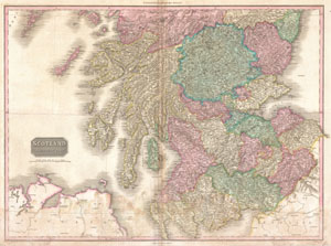
Scotland Southern Part.
$300.00
Acquire
- Digital Map Information
- Suitable for large format printing
- DPI: 300
- File Size: 26.64 MB
- File Type: ZIP / TIFF
- ICC color profile embedded
- Delivered instantly via download link
Pinkerton's extraordinary 1818 map of the southern part of Scotland. Covers from England in the south to Angus Shire in the north. Includes parts of Adjacent England and Ireland. Covers the entire region in considerable ... (more details)
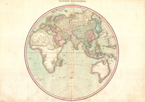
Eastern Hemisphere.
$500.00
Acquire
- Digital Map Information
- Suitable for large format printing
- DPI: 300
- File Size: 19.46 MB
- File Type: ZIP / TIFF
- ICC color profile embedded
- Delivered instantly via download link
A rare and important 1818 map of the Eastern Hemisphere by John Pinkerton. Depicts Asia, Europe, Africa and Australia. This map offers fairly accurate shorelines throughout. In Africa, the interior remains unexplored except ... (more details)