
Cruttwell, Clement

Clement Cruttwell (1743 - August 5, 1808) was an English book and map publisher active in Bath and London in the late 18th and early 19th century. Cruttwell was born the son of William Cruttwell, a gentleman of Wokingham, Berkshire, England. As a young man Cruttwell was educated to be an Anglican Reverend and consequently maintained a lifelong interest in religious matters. Throughout his life, he published a number of religious works and geographical gazetteers including several focused on the British Isles and one dedicated to France. Though little is known of Cruttwell today, he was highly regarded in his own time. In his obituary, a period publication, The Universal Magazine of Knowledge and Pleasure describes Cruttwell as
a gentleman whose various literary performances, for labour, extent, and utility, have rarely been equaled, and, when regarded as the productions of an unassisted valetudinarian, have perhaps never been surpassed.Cruttwell was also a known correspondent of George Washington to whom he sent his own translation of the Holy Bible, which Washington kept in his personal library until his death.
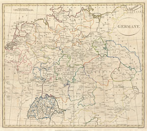
Germany.
$200.00
Acquire
- Digital Map Information
- Suitable for large format printing
- DPI: 300
- File Size: 7.72 MB
- File Type: ZIP / TIFF
- ICC color profile embedded
- Delivered instantly via download link
A fine 1799 map of Germany by the English map publisher Clement Cruttwell. Includes the regions of Westphalia, the Upper and Lower Rhine, Circles of Upper and Lower Saxony, Lusatia, Dutchy of Silesia, Moravia, Bohemia, Swabia, Circle of Bavaria, Circle of ... (more details)
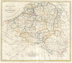
Belgium, or the Netherlands.
$200.00
Acquire
- Digital Map Information
- Suitable for large format printing
- DPI: 300
- File Size: 7.44 MB
- File Type: ZIP / TIFF
- ICC color profile embedded
- Delivered instantly via download link
A fine 1799 map of Belgium and parts of the Netherlands by the English map publisher Clement Cruttwell. Focuses mainly on the modern day Belgium. Includes the Dutch regions Schowen, Brabant, with parts of Holland. Features the County of Flanders, ... (more details)
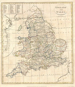
England and Wales.
$200.00
Acquire
- Digital Map Information
- Suitable for large format printing
- Full resolution TIFF file
- ICC color profile embedded
- Delivered instantly via download link
A fine 1799 map of England and Wales by the English map publisher Clement Cruttwell. A highly detailed map of the cartographer's home country, this map includes all the counties (shires) as they appeared at the end of the 18th century, along with a ... (more details)
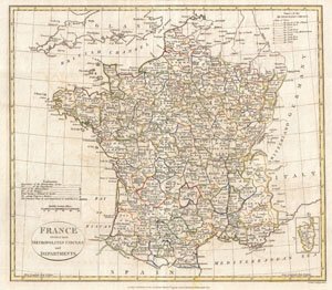
France divided into Metropolitan Circles and Departments.
$200.00
Acquire
- Digital Map Information
- Suitable for large format printing
- DPI: 300
- File Size: 8.29 MB
- File Type: ZIP / TIFF
- ICC color profile embedded
- Delivered instantly via download link
A fine 1799 map of France divided into Metropolitan Circles and Departments by the English map publisher Clement Cruttwell. The French Department system was established on March 4th, 1790 by the National Constituent Assembly to replace the ... (more details)