
Africa and Anatolia as Known to the Ancients.
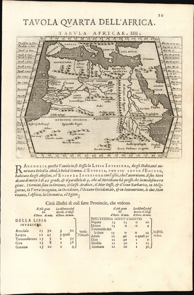
Tavola Quarta Dell' Africa./ Tavola Prima Dell'Asia.
$250.00
Acquire
- Digital Map Information
- Suitable for large format printing
- Full resolution TIFF file
- ICC color profile embedded
- Delivered instantly via download link
This is Giovanni Antonio Magini's Ptolemaic map of Africa, from the 1598 first Italian edition of Ptolemy's Geographia. The maps, engraved by Girolamo Porro, graced the most attractively executed small-format edition of the classical geographic text. The verso contains Magini's Ptolemaic map of Asia Minor. (more details)
Definitive field Atlas of the Revolutionary War.

The American Military Pocket Atlas; being An approved Collection of Correct Maps, both General and Particular, of The British Colonies; Especially those which now are, or probably may be The Theatre of War.
sold
This is Sayer and Bennet's 1776 'Holster Atlas', one of the most sought-after cartographic works of the American Revolution. It was published at the beginning of the Revolution and presented as a collection of maps approved by British military authorities for use in the field. (more details)
First 'Great Game' Map.
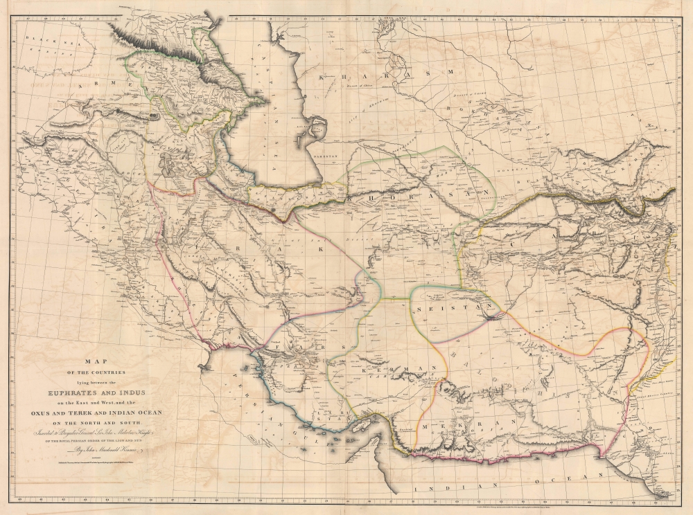
Map of the Countries lying between then Euphrates and Indus on the East and West, and the Oxus and Terek and Indian Ocean on the North and South.
sold
- Digital Map Information
- Suitable for large format printing
- File Size: 91.04 MB
- File Type: ZIP / TIFF
- ICC color profile embedded
- Delivered instantly via download link
This is John Macdonald Kinneir and Aaron Arrowsmith's 1813 large-scale map of Persia and parts of Afghanistan, Iraq, and Pakistan. This was the best obtainable map of Persia and Central Asia available in the leadup to the Great Game (1813 - 1895), and indeed, might be considered the first Great Game Map. It was issued at the end of the Russo-Persian War (1804 - 1813) and coincided with the Treaty of Gulistan, which opened up Persia for Russian invasion and set the stage for decades of Anglo-Russian conflict. (more details)
Sublimely-executed manuscript study of West's famous painting.

The Death of General Wolfe.
sold
- Digital Map Information
- Suitable for large format printing
- File Size: 6.55 MB
- File Type: ZIP / TIFF
- ICC color profile embedded
- Delivered instantly via download link
This is a sublimely-executed 19th-century painting of Benjamin West's The Death of General Wolfe by an unidentified artist. West's work dramatizes General James Wolfe's death during the 1759 Battle of Quebec during the Seven Years' War (1756 - 1763) just after learning of the British victory. The present study is in a fine, if unknown, hand and rendered so precisely that the brush can only have been a single hair. (more details)
Narrow gauge access to the mines during the Colorado Silver Boom.

[Colorado Central Railroad.]
sold
- Digital Map Information
- Suitable for large format printing
- File Size: 10.44 MB
- File Type: ZIP / TIFF
- ICC color profile embedded
- Delivered instantly via download link
This is a c. 1877 Silver Boom manuscript map of north-central Colorado west of Denver highlighting the Colorado Central Railroad. The Colorado Central linked several mining towns in the early days of the Colorado Silver Boom with Golden and Denver and, by extension, the rest of the country. (more details)
Florida's first grid and ray city.

Sebring Florida.
sold
- Digital Map Information
- Suitable for large format printing
- File Size: 63.77 MB
- File Type: ZIP / TIFF
- ICC color profile embedded
- Delivered instantly via download link
This is a rare bird's-eye view of Sebring, Florida, issued c. 1917 to promote real estate sales. The view captures the ambitious early days of Sebring before its boom in the 1920s. (more details)
Comic look at 1980 Hong Kong.

Hong Kong.
sold
A charming 1980 pictorial map of Hong Kong by illustrator and historian Tom Briggs. The map surveys Hong Kong from the east, with Kowloon on the left and Hong Kong Island on the right. The Star Ferry appears just below and to the left of center, connecting Central to Kowloon Pier. The map is rife with advertising for Hong Kong businesses, but also historical notes, and humorous commentary. For example, a wizard advertised as a 'World Money Analyst' claims he can 'turn it into almost anything.' Fish in the harbor comment on Hong Kong social strata - 'They haven't spoken a word to anyone since they moved up to mid levels.' The pirate 'Eung Po Choi' claims that in 100 years he'll be a 'Hong Kong real estate developer.' Even the basement strip club, 'Bottoms Up' appears - duty free. (more details)
Homann's Depiction of Asia, with Elaborate Baroque Cartouches.

Asiae Receintissima Delineatio. Qua Status et Imperia Totius Orientis unacum Orientalibus Indiis exhibentur Authore Io. Bapt. Homanno Norimbergae.
sold
- Digital Map Information
- Suitable for large format printing
- File Size: 28.34 MB
- File Type: ZIP / TIFF
- ICC color profile embedded
- Delivered instantly via download link
This is Johan Baptist Homann's first map of Asia, in a bold, attractively-colored example of its 1707 first plate. It presents the state of the art of mapping the eastern extreme of the Asian continent, working to reconcile the geography of Nicolas Witsen with De Vries and other explorers of the Pacific. It incorporates the Dutch discoveries in Australia and the East Indies, as well as Dampier's explorations as recently as 1700. Its elaborate allegorical cartouches are executed with the skill and beauty associated with the earliest iterations of Homann's maps. (more details)
Costa Rica's trans-continental railroad.
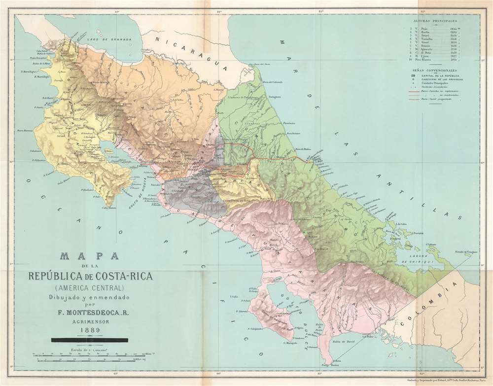
Mapa de la República de Costa-Rica (America Central).
sold
- Digital Map Information
- Suitable for large format printing
- File Size: 15.57 MB
- File Type: ZIP / TIFF
- ICC color profile embedded
- Delivered instantly via download link
This is a rare 1889 Faustino Montes De Oca Ramírez map of Costa Rica illustrating plans for that country's first (and only) railroad. (more details)
Separately-issued edition.
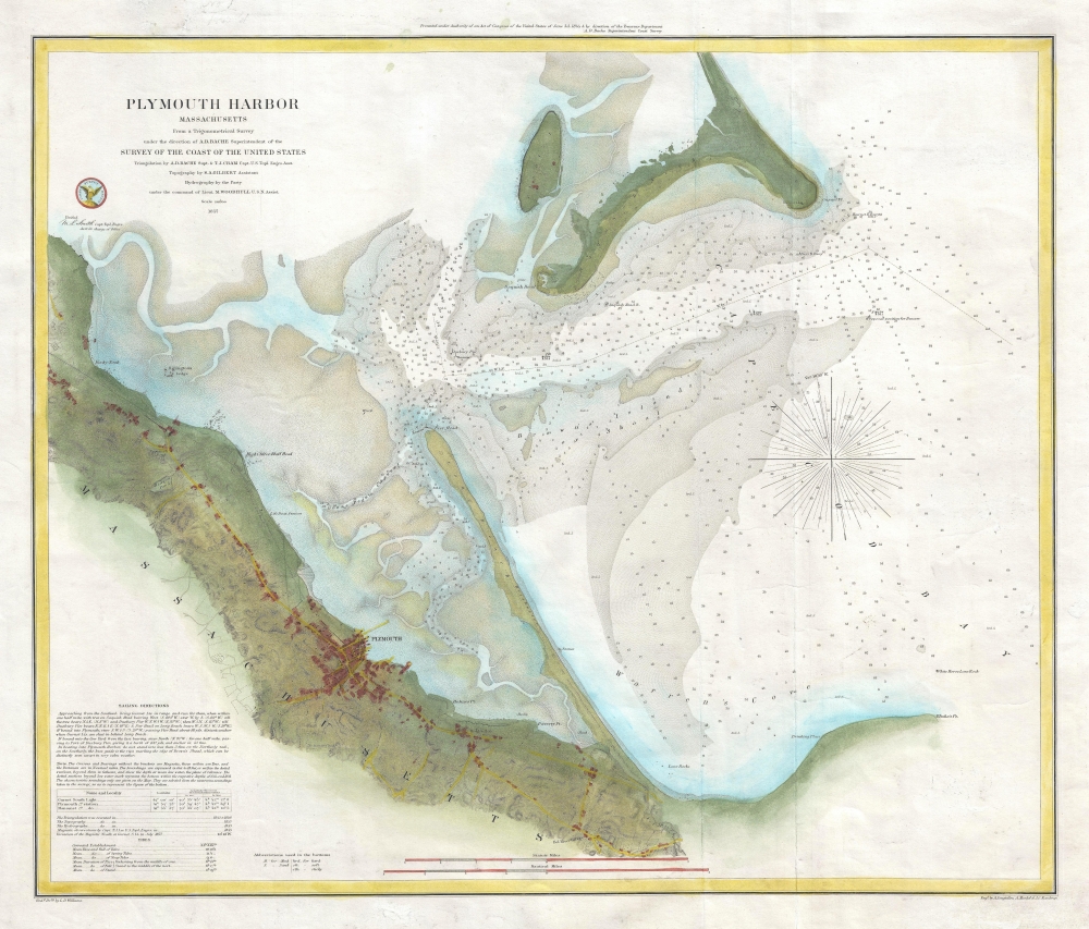
Plymouth Harbor Massachusetts.
$650.00
Acquire
- Digital Map Information
- Suitable for large format printing
- File Size: 11.21 MB
- File Type: ZIP / TIFF
- ICC color profile embedded
- Delivered instantly via download link
This is a beautiful, separately-issued example of the U.S. Coast Survey's 1857 nautical chart or maritime map of Plymouth Harbor, Massachusetts. (more details)
Seacoast New Hampshire.

New Hampshire's Famous Seacoast Region.
sold
This 1964 Dorothy Linscott Clarke pictorial map of New Hampshire's seacoast region celebrates its nautical heritage. Portsmouth, the area's cultural and commercial center, is remembered as the 'birthplace of the U.S. Navy' during the American Revolution. Clarke uses this to her advantage, employing a ship's wheel as the compass rose and adorning the title cartouche with Poseidon, seaweed, and seashells. Several ships ply the waters of the Atlantic and the Great Bay, one of the largest sheltered bays along the Atlantic coast. This map also highlights the commercial and recreational aspects of this thirteen-mile stretch of the Atlantic coast. Beachgoers enjoying themselves and umbrellas dot the coastline around Hampton Beach and Hampton Harbor. Banners and illustrations of buildings mark towns and villages, including Portsmouth, Durham, Exeter, Rye, Hampton, and Greenland. Textboxes provide short histories of Rye and Exeter, and the founding dates of other towns are noted. The region's landmarks, such as the Weeks House in Greenland and Exeter Academy in Exeter, are referenced. The whole is surrounded by a nautical-themed pictorial border, where illustrations of ropes and anchors separate text boxes filled with historical information, views of historic buildings and ships, and portraits of important historical figures. (more details)
Jesuit Conception of the Mogul Empire.
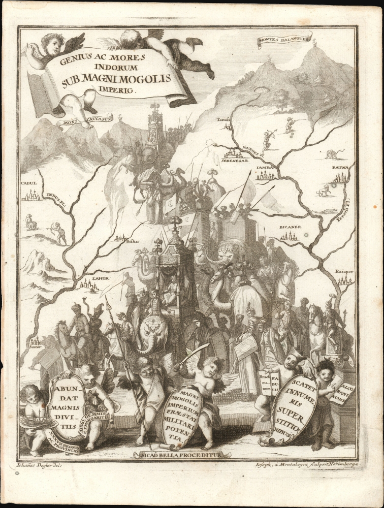
Genius ac Mores Indorum Sub Magni Mogolis Imperio.
$500.00
Acquire
- Digital Map Information
- Suitable for large format printing
- File Size: 5.52 MB
- File Type: ZIP / TIFF
- ICC color profile embedded
- Delivered instantly via download link
This is a fascinating allegorical engraving representing the Mogul Empire was composed by the German religious painter Johann Degler. It was issued in Heinrich Scherer's 1702 Atlas Novus. (more details)
Reconnoitering the Northern Rockies.
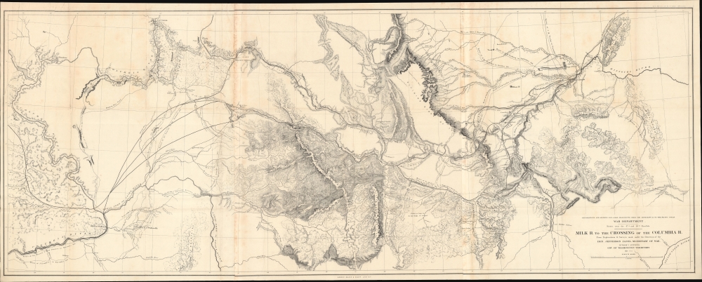
Milk R. to the crossing of the Columbia R.
sold
- Digital Map Information
- Suitable for large format printing
- File Size: 97.68 MB
- File Type: ZIP / TIFF
- ICC color profile embedded
- Delivered instantly via download link
A remarkable, large-format map of central Montana, with portions of northern Idaho and eastern Washington, prepared by Isaac Stevens as part of the expedition he led through the territory in 1853 - 1855 to scout out a potential transcontinental railroad route. When produced, due to its size and detail, it was the most complete map of these lands to date. (more details)
Earliest detailed map of the Kuril Islands.
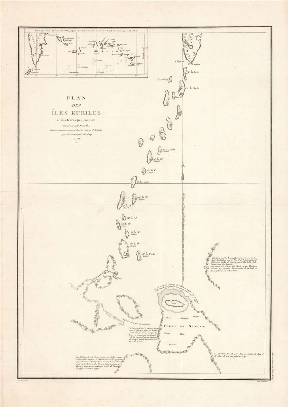
Plan des Iles Kuriles et des terres peu connues situees a la suite de ces Iles...
$400.00
Acquire
- Digital Map Information
- Suitable for large format printing
- DPI: 600
- File Size: 66.84 MB
- File Type: ZIP / TIFF
- ICC color profile embedded
- Delivered instantly via download link
Here is La Perouse's fascinating and pioneering 1788 mapping of the Kuril Islands, which his expedition charted the year prior. It is the earliest detailed chart of the islands by a European explorer, part of La Perouse's groundbreaking work, and a keystone in the developing geographical knowledge of Northeast Asia. (more details)
Height of the Florida Land Boom.

Come to the Florida West Coast.
sold
- Digital Map Information
- Suitable for large format printing
- Full resolution TIFF file
- ICC color profile embedded
- Delivered instantly via download link
A charming, evocative c. 1928 promotional pictorial map and brochure of the Florida West Coast, published by the Florida Grower Press. It presents the state at the culmination of the post-WWII Florida Land Boom, which would crash precipitously in the following years due to the Great Depression and natural disasters. (more details)
Era of Independence.

ארץ ישראל מפה לידיעת המולדת לנער ולעם / [The Land of Israel Map for Knowledge of the Homeland for the Youth and the People].
sold
- Digital Map Information
- Suitable for large format printing
- File Size: 29.2 MB
- File Type: ZIP / TIFF
- ICC color profile embedded
- Delivered instantly via download link
A scarce c. 1946 Hebrew-language map of Mandatory Palestine / Eretz Israel edited by David Benvenisti and Ben-Zion Luria. (more details)
Israel's Growing Travel and Tourism Industry.

מפת כרטא לכבישי ישראל לנופש ולמטייל / [Carta Map of Israel Roads for Vacationers and Travelers].
sold
A colorful 1966 road map of Israel, prepared by the firm Carta, based in Jerusalem. It reflects the development of Israel's road network, domestic tourism, and consumer economy in the decades after statehood. (more details)
Key segment in the India and China Trade.
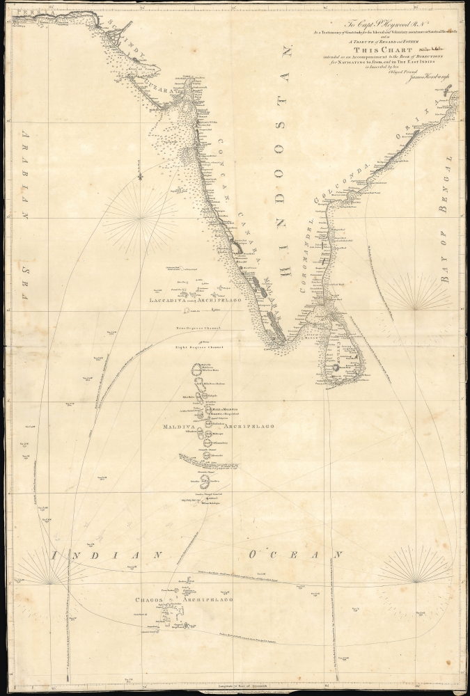
To Capt. P. Heywood R.N. as a testimony of gratitude for his liberal and voluntary assistance in nautical research and as a tribute of regard and esteem this chart intended as an accompaniment to the Book of directions for navigating to, from and in the East Indies.
sold
- Digital Map Information
- Suitable for large format printing
- File Size: 32.66 MB
- File Type: ZIP / TIFF
- ICC color profile embedded
- Delivered instantly via download link
This 1811 chart of the Indian Ocean was engraved by John Walker and produced by James Horsburgh, one of the most accomplished hydrographers of the early 19th century, and is addressed to Peter Heywood, himself an expert hydrographer with the Royal Navy. (more details)
Schreyvogel's greatest work and the beginning a lifelong feud with Remington.

[Custer's Demand.]
sold
- Digital Map Information
- Suitable for large format printing
- File Size: 8.01 MB
- File Type: ZIP / TIFF
- ICC color profile embedded
- Delivered instantly via download link
A striking signed and inscribed example of the artist's lithograph edition Charles Schreyvogel's most famous painting Custer's Demand. This painting established Schreyvogel as one of the great artists of the American West and inspired a lifelong feud with jealous competitor and Western painting icon Frederic Remington. (more details)
San Francisco in the Summer of Love, Man.

San Francisco.
sold
A striking and thoroughly far-out 1967 pictorial map of San Francisco. This engaging view, screen-printed in red, black, and metallic gold, captures the city during the Summer of Love, with particular reference to the music that epitomized that iconic year. (more details)