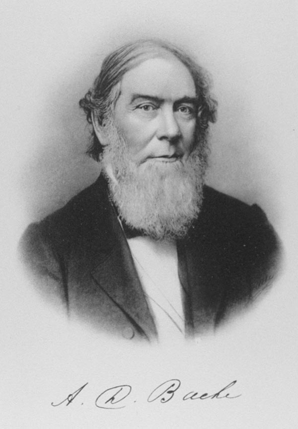
Alexander Dallas Bache (July 19, 1806 - February 17, 1867) was an American physicist, scientist and surveyor. Bache is best known in cartographic circles as the Superintendent of the U.S. Coast Survey from 1843 to 1865. Born in Philadelphia, Bache, a great grandson of the statesman and inventor Benjamin Franklin, had a varied career primarily focused on education. He toured Europe on behalf of Girard College and composed an important treatise on European Education. Later he served as president of Philadelphia's Central High School and was a professor of natural history and chemistry at the University of Pennsylvania. On the death of Ferdinand Rudolph Hassler, Bache was appointed Superintendent of the United States Coast Survey. Picking up where Hassler left off Bache presided over the Survey during its most prolific period and oversaw the mapping of most of the United States coastline. To this day his name appears on countless marine pilot books and U.S. Coast Survey nautical charts. For his work he was elected Associate Fellow of the American Academy of Arts and Sciences, a Fellow of the Royal Society of Edinburgh, and a Foreign Member of the Royal Society. Following the Civil War, Bache was elected a 3rd Class Companion of the Military Order of the Loyal Legion of the United States. He died at Newport, Rhode Island and was buried in the Congressional Cemetery in Washington, DC, where he is commemorated with a monument built by American architect Henry Hobson Richardson.


 U.S. Coast Survey Chart, Northern Massachusetts, New Hampshire, Southern Maine Coast")

Out of Stock Maps


")


")


")
")


")


1854 U.S. Coast Survey Chart or Map of the Savannah River ans Savannah, Georgia
9.5 x 9.5 in
details


")
")


, South Carolina")
")


")
, Massachusetts")


")


")
")


, Texas")


1859 U.S. Coast Survey Map of the Gulf Coast from Vermilion Bay to Mobile Bay
20.5 x 33.5 in
details


")

, Martha's Vineyard, Massachusetts")


, Martha's Vineyard, Massachusetts")


1859 U.S. Coast Survey Map or Nautical Chart of the Florida Keys and Key West
22.5 x 31.5 in
details


")


")


")
")


1862 U.S. Coast Survey Map of the entrance to the Chesapeake Bay and Delaware Bay
28 x 34 in
details


")


, New Jersey")


, Martha's Vineyard, Massachusetts")


")


1861 U.S. Coast Survey Map of North Landing River and Currituck Sound, Virginia
21.5 x 17 in
details


 Inlet, Orange County, Florida")
")


")


1857 U.S. Coast Survey Map or Chart of the Entrance to the York River, Virginia
17 x 22.5 in
details


")


 Inlet, Florida")
")


")


")


