
Andriveau-Goujon (sold) (J. Goujon, J. Andriveau, J. Andriveau-Goujon, E. Andriveau-Goujon)
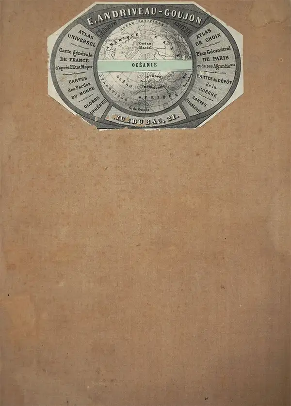
Eugène Andriveau-Goujon (1832 - 1897) was a map publisher and cartographer active in 19th century Paris. The firm was created in 1825 when Eugène Andriveau married the daughter of map publisher Jean Goujon - thus creating Andriveau-Goujon. Maps by Andriveau-Goujon are often confusing to identify as they can be alternately singed J. Goujon, J. Andriveau, J. Andriveau-Goujon, E. Andriveau-Goujon, or simply Andriveau-Goujon. This refers to the multiple generations of the Andriveau-Goujon dynasty and the tendency to republish older material without updating the imprint. The earliest maps to have the Andriveau-Goujon imprint were released by Jean Andriveau-Goujon. He passed the business to his son Gilbert-Gabriel Andriveau-Goujon, who in 1858 passed to his son, Eugène Andriveau-Goujon, under whose management the firm was most prolific. Andriveau-Goujon published numerous fine pocket maps and atlases throughout the 19th century and often worked with other prominent French cartographers such as Adrien-Hubert Brué (1786 - 1832) and Victor Levasseur (1800 - 1870). The firm's stock was acquired by M. Barrère in 1892, who operated it until c. 1930, when it passed on to P.H. Barrère (presumably his son). In 1933, the firm was merged to become Girard et Barrère and in the post-World War II period operated as Girard, Barrère et Thomas until it was purchased by Cartes Taride in 1974.
AKA: J. Goujon, J. Andriveau, J. Andriveau-Goujon, E. Andriveau-Goujon
Exceptional boxed atlas.
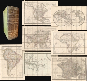
Atlas par H. Brue.
sold
- Digital Map Information
- Suitable for large format printing
- Full resolution TIFF file
- ICC color profile embedded
- Delivered instantly via download link
A remarkable cased 1827 atlas by Adrien-Hubert Brué. Housed in a handsome gilt-stamped leather case, the atlas features 8 dissected folding maps covering all parts of the world. (more details)
Comparative cartography.
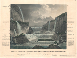
Tableau Comparatif de la Hauteur des Chutes d'Eau Les Plus Célèbres.
sold
- Digital Map Information
- Suitable for large format printing
- Full resolution TIFF file
- ICC color profile embedded
- Delivered instantly via download link
A striking c. 1835 comparative chart illustrating the world's most famous waterfalls. The chart, in the 'Tableau Comparatif' model, sets the world's greatest waterfalls, as understood in the early 19th century, in sharp contrast with one another. (more details)
The finest 19th century Comparative Mountains and Rivers Chart.
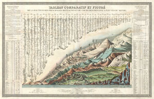
Tableau Comparatif et Figure de La Hauteur des Principales Montagnes et du Cours des Principaux Fleuves due Monde.
sold
- Digital Map Information
- Suitable for large format printing
- DPI: 300
- File Size: 25.87 MB
- File Type: ZIP / TIFF
- ICC color profile embedded
- Delivered instantly via download link
This is Andriveau and Goujon's 1838 comparative mountains and rivers chart. This extraordinary chart is considered the highest expression of the mountains and rivers convention as developed in the 19th century. No mountains and rivers chart before or after ... (more details)
The finest 19th century Comparative Mountains and Rivers Chart.
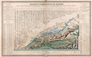
Tableau Comparatif et Figure de La Hauteur des Principales Montagnes et du Cours des Principaux Fleuves due Monde.
sold
- Digital Map Information
- Suitable for large format printing
- DPI: 300
- File Size: 25.84 MB
- File Type: ZIP / TIFF
- ICC color profile embedded
- Delivered instantly via download link
This is Andriveau and Goujon's 1838 comparative mountains and rivers chart. This extraordinary chart is considered the highest expression of the mountains and rivers convention as developed in the 19th century. No mountains and rivers chart before or after ... (more details)
France recognizes the Republic of Texas.
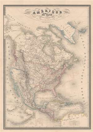
Amérique du Nord par A. H. Dufour...
sold
- Digital Map Information
- Suitable for large format printing
- Full resolution TIFF file
- ICC color profile embedded
- Delivered instantly via download link
A fine example of A.-H. Dufour's 1842 map of North America, including the Republic of Texas. The map covers the entire North American continent and Greenland, embracing Mexico, an independent Texas, Central America, and the Caribbean. An inset in the lower left corner details the Bering Sea and the Aleutian Islands. This map appeared in several editions of the Dufour/ Andriveau-Goujon elephant folio atlas, but this edition is significant for its inclusion of the Republic of Texas - and as such this makes it one of the earliest European maps to do so. The map also recognizes American claims to British Columbia - further underscoring the then hot political tensions between France and England. (more details)
One of the finest mid 19th century comparative mountains charts.
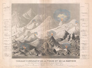
Tableau comparatif de la forme et de la hauteur des principales montagnes du globe terrestre, dedie a Monsieur le Baron, Alexdre. de Humboldt.
sold
- Digital Map Information
- Suitable for large format printing
- Full resolution TIFF file
- ICC color profile embedded
- Delivered instantly via download link
An exceptionally attractive and unusual 1850 comparative mountains chart by Andriveau-Goujon. A fine mid-century example of the comparative chart convention. Shows many of the world's greatest mountains and volcanoes in proximity to one other such that we ... (more details)
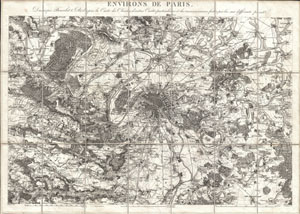
Environs de Paris. Dresses par Beuvelot (J. B.) d'apres la Carte des Chasses, d'autres Cartes particulieres et des reconnaissances faites par lui sur differentes pointe.
sold
- Digital Map Information
- Suitable for large format printing
- DPI: 300
- File Size: 17.22 MB
- File Type: ZIP / TIFF
- ICC color profile embedded
- Delivered instantly via download link
This is an extremely attractive c. 1850 map of Paris, France and its environs by French map publisher Andriveau-Goujon. Covers the Paris area from Vaux in the northwest to Dampiere in the southwest to Juilly in the northeast and Grisy in the southeast. ... (more details)
Array of maritime flags.
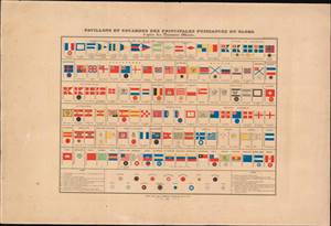
Pavillons et Cocardes des Principales Puissances du Globe.
sold
- Digital Map Information
- Suitable for large format printing
- Full resolution TIFF file
- ICC color profile embedded
- Delivered instantly via download link
This is an 1837 flag chart produced in Paris by Andriveau-Goujon. It shows the naval, merchant, and national or royal flags of European, American, and Asian kingdoms, republics, port cities, and trading assemblies. (more details)
French interest in the California Gold Rush.
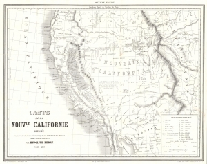
Carte de la Nouvle. Californie.
sold
- Digital Map Information
- Suitable for large format printing
- File Size: 13.34 MB
- File Type: ZIP / TIFF
- ICC color profile embedded
- Delivered instantly via download link
This is a scarce and overlooked 1850 map of Upper California issued by Hypolite Ferry at the height of the California Gold Rush. It is the first French-language map of the gold region issued to capitate on widespread French interest and investment in joint-stock mining companies. (more details)
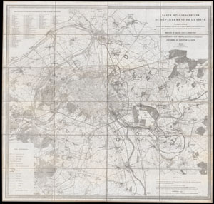
Carte Hydrographique du Departement de La Seine.
sold
- Digital Map Information
- Suitable for large format printing
- DPI: 300
- File Size: 58.19 MB
- File Type: ZIP / TIFF
- ICC color profile embedded
- Delivered instantly via download link
This is an extraordinary large format folding map of Paris and its vicinity dating to 1852. Covers from Argenteuil in the northwest to the Foret de Bondy in the northeast and from the Bois de Verrieres in the southwest to Bois Notre Dame in the ... (more details)
Details the historic 1860 expansion of Pars from 12 to 20 Arrondissements.
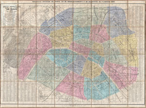
Plan Itineraire de Paris Publie. Nouvelle Division de Paris en 20 Arrondissements et 80 Quartiers au 1er. Janvier 1860.
sold
- Digital Map Information
- Suitable for large format printing
- File Size: 48.79 MB
- File Type: ZIP / TIFF
- ICC color profile embedded
- Delivered instantly via download link
This is an extremely attractive 1860 pocket plan or case map of Paris, France by the French map publisher Andriveau-Goujon. Covers central Paris as it appeared following the city's historic 1860 expansion from 12 to 20 Arrondissements. ... (more details)
Monumental 19th century wall map of Paris illustrating Haussmann’s “agrandissments”
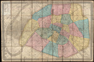
Plan Geometral de Paris et de Ses Agrandissements a l'Echelle d'un millimetre pour 10m. (1:10,000).
sold
- Digital Map Information
- Suitable for large format printing
- File Size: 85.25 MB
- File Type: ZIP / TIFF
- ICC color profile embedded
- Delivered instantly via download link
A stunning achievement, this 1860 map by Andriveau-Goujon is the largest folding map of Paris we have ever encountered. Measuring some 41 x 62 inches, this massive plan covers from Saint Cloud to Charenton, inclusive of the full curve ... (more details)
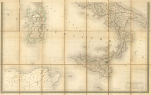
Italie Partie Meridionale
sold
- Digital Map Information
- Suitable for large format printing
- Full resolution TIFF file
- ICC color profile embedded
- Delivered instantly via download link
This is a magnificent 1867 hand colored case map of Southern Italy, Naples, Sardinia, and Sicily. Produced by the well regarded mid 19th century French cartographer J. Andriveau0Goujon in Paris. The map is official entitled 'Italie ... (more details)
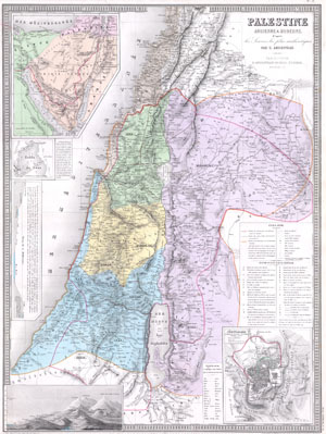
Palestine Ancienne & Moderne d’apres les Sources les plus Authentiques.
sold
- Digital Map Information
- Suitable for large format printing
- Full resolution TIFF file
- ICC color profile embedded
- Delivered instantly via download link
An extremely attractive and impressive map 1870 of Palestine, Israel, or the Holy Land by French cartographer E. Andriveau-Gujon. Covers the regions of modern day Israel, Lebanon, Syria, Jordan, and the Sinai in considerable detail. ... (more details)
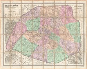
Plan de Paris A l'Echelle de 2 Millim, pour 25 Metres Indiquant les Nouveaux percements et les changements de nomes de voies publiques avec plans supplementaires pour les Bois de Boulogne et de Vincennes.
sold
- Digital Map Information
- Suitable for large format printing
- File Size: 63.15 MB
- File Type: ZIP / TIFF
- ICC color profile embedded
- Delivered instantly via download link
A stunningly executed 1875 large format folding pocket map of Paris, France by e. Andriveau-Goujon. Focuses on the walled center of Paris from Neuilly in the northwest to Pantin in the northeast, Issy in the southwest, and Ivry in ... (more details)
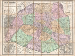
Plan de Paris a l'Echelle de 2 Millim, pour 25 Metres, Indiquant les Nouveaux percements et les changements de noms de Voies publiques avec plans supplementaires pour Les Bois de Boulogne et de Vincennes.
sold
- Digital Map Information
- Suitable for large format printing
- File Size: 54.83 MB
- File Type: ZIP / TIFF
- ICC color profile embedded
- Delivered instantly via download link
A stunningly executed 1878 large format folding pocket map of Paris, France by E. Andriveau-Goujon. Focuses on the old walled center of Paris from Neuilly in the northwest to Pantin in the northeast, Issy in the southwest, and ... (more details)
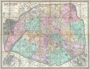
Plan de Paris a l'Echelle de 2 Millim, pour 25 Metres, Indiquant les Nouveaux percements et les changements de noms de Voies publiques avec plans supplementaires pour Les Bois de Boulogne et de Vincennes.
sold
- Digital Map Information
- Suitable for large format printing
- File Size: 101.2 MB
- File Type: ZIP / TIFF
- ICC color profile embedded
- Delivered instantly via download link
A stunningly executed 1882 large format folding pocket map of Paris, France by E. Andriveau-Goujon. Focuses on the old walled center of Paris from Neuilly in the northwest to Pantin in the northeast, Issy in the southwest, and ... (more details)