
Automobile Club of Southern California (sold)
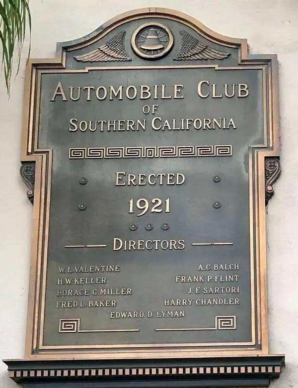
The Automobile Club of Southern California (1900 - Present) is an auto club based in Los Angeles, California and an affiliate of the American Automobile Association (AAA). Founded in 1900, it was one of the first auto clubs in the United States and was dedicated to proposing traffic laws, improving road conditions, and the overall improvement of driving conditions. The Auto Club began producing its own maps in 1910, when it sent out its own team of cartographers to survey the state's roads. Its main office at the corner of Figueroa Street and Adams Boulevard was completed in 1923. Numbering nearly 8 million members in its home territory alone, today it is the largest single member of the AAA federation
L.A., between frontier town and suburban sprawl.
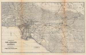
Automobile road map of Los Angeles and vicinity, California.
sold
- Digital Map Information
- Suitable for large format printing
- Full resolution TIFF file
- ICC color profile embedded
- Delivered instantly via download link
This is an impressive c. 1925 map of the Los Angeles area published by the Automobile Club of Southern California. Presaging the city's later sprawl, the map covers most of the present-day metropolitan region, including all or parts of Los Angeles, Ventura, San Bernardino, Riverside, and Orange Counties. (more details)
Marks landmarks along with hotels throughout the two parks.
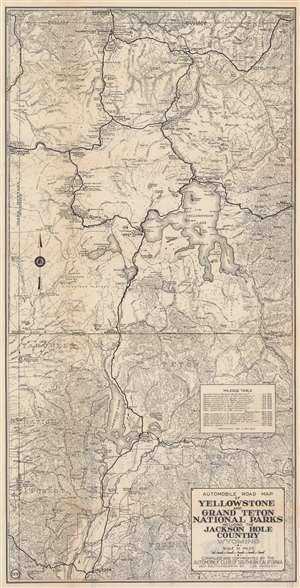
Automobile Road Map of Yellowstone and Grand Teton National Parks Including the Jackson Hole Country Wyoming.
sold
- Digital Map Information
- Suitable for large format printing
- Full resolution TIFF file
- ICC color profile embedded
- Delivered instantly via download link
This is a c. 1930 Automobile Club of Southern California road map of Yellowstone and Grand Teton National Parks. Famous landmarks throughout are identified, including Old Faithful, Mammoth Hot Springs, and Yellowstone and Jackson Lakes. Ranger stations, lodges, hotels, campsites, rivers, lakes, mudkettles, mudpots, hot springs, and other features of both parks are included. (more details)
America's most famous national parks.
Automobile Road Map of Yellowstone and Grand Teton National Parks Including the Jackson Hole Country Wyoming.
sold
- Digital Map Information
- Suitable for large format printing
- Full resolution TIFF file
- ICC color profile embedded
- Delivered instantly via download link
A c. 1930 Automobile Club of Southern California road map of Yellowstone and Grand Teton National Parks. It provides extensive and helpful detail to the motorist, reflecting the growing popularity of automobiles as a means of reaching and exploring the parks. (more details)
One of California's great scenic drives.
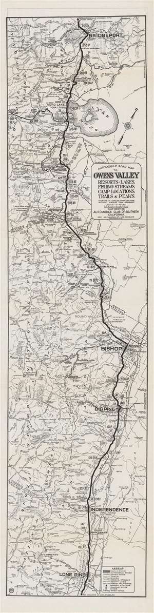
Automobile road map of Owens Valley : resort, lakes, fishing streams, camp locations, trails and peaks.
sold
- Digital Map Information
- Suitable for large format printing
- Full resolution TIFF file
- ICC color profile embedded
- Delivered instantly via download link
This is a rare c. 1930 Automobile Club of Southern California 'strip map' of the Owens Valley and nearby areas between Mono Lake and the Mojave Desert. It highlights the route to the beautiful scenery of the Sierra Nevada Mountains, which was becoming an increasingly popular and accessible tourist destination. (more details)
One of California's great scenic drives.
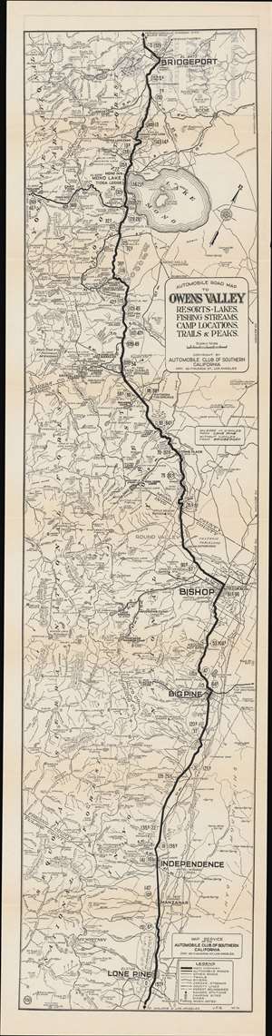
Automobile road map of Owens Valley : resort, lakes, fishing streams, camp locations, trails and peaks.
sold
- Digital Map Information
- Suitable for large format printing
- Full resolution TIFF file
- ICC color profile embedded
- Delivered instantly via download link
This is a rare c. 1930 Automobile Club of Southern California (ACSC) 'strip map' of the Owens Valley and nearby areas between Mono Lake and the Mojave Desert. It illustrates the route to the beautiful scenery of the Sierra Nevada Mountains, which were then becoming an increasingly popular and accessible tourist destination. (more details)
El Camino Sierra.
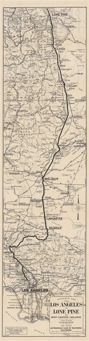
Automobile road from Los Angeles to Lone Pine via Mint Canyon-Mojave.
sold
- Digital Map Information
- Suitable for large format printing
- Full resolution TIFF file
- ICC color profile embedded
- Delivered instantly via download link
This is a c. 1935 'strip map' of the automobile route from Los Angeles to Lone Pine, a town in the Owens Valley, tucked between the Sierra Nevada, White, and Inyo Mountains. The map reflects both the growing automobile infrastructure in rural California and increased interest in California's natural beauty. (more details)
Includes an inset of the 'congested district of Los Angeles'.
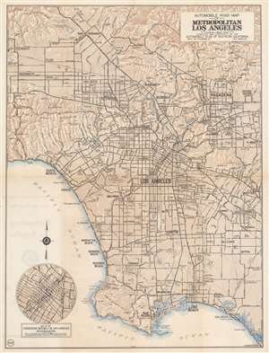
Automobile Road Map of Metropolitan Los Angeles.
sold
- Digital Map Information
- Suitable for large format printing
- File Size: 23.08 MB
- File Type: ZIP / TIFF
- ICC color profile embedded
- Delivered instantly via download link
This is a c. 1930 Automobile Club of Southern California city plan or map of Los Angeles, California. Depicting the region from the Santa Susana Mountains and San Fernando to San Pedro and Long Beach and from Oakwood Cemetery and Chatsworth Reservoir to Whittier and El Monte, Los Angeles, Pasadena, Glendale, Compton, Inglewood, Beverly Hills, Venice, Santa Monica, and Hollywood rank among the identified cities. Only major streets are illustrated and labeled. Small circles mark several oil fields, including the Redondo Oil Field and the Rosecrans Oil Field. Other than the oil fields, airports, cemeteries, a couple of high schools, and golf courses are highlighted. The Hollywood Bowl, in the Santa Monica Mountains above Hollywood, also appears. Peaks are identified in the San Gabriel Mountains, and the elevations for mountains are given in the Santa Monica Mountains and the Santa Susana Mountains. An inset in the lower-left corner detailed the 'congested district of Los Angeles' and even marks intersections where left-hand turns are not permitted between 7 a.m. and 6 p.m. except on Sundays. (more details)
Before the freeways.
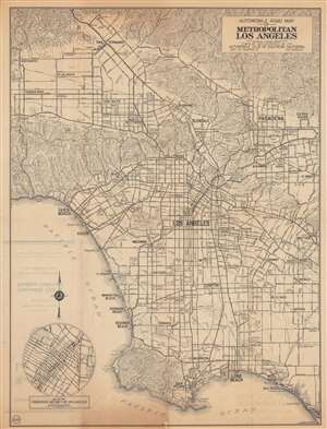
Automobile road map of metropolitan Los Angeles.
sold
- Digital Map Information
- Suitable for large format printing
- Full resolution TIFF file
- ICC color profile embedded
- Delivered instantly via download link
This is a c. 1937 Automobile Club of Southern California city plan or map of Los Angeles. The contours of L.A.’s urban sprawl are apparent, with development along the major boulevards in the San Fernando and San Gabriel Valleys and out towards Orange County, but the freeways that have come to define L.A. had not yet been built. (more details)
A Blueprint for Car Culture.
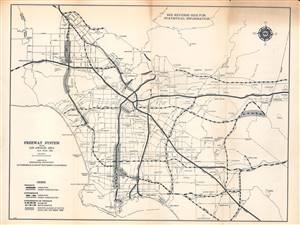
This is a 1960 map of the existing and proposed freeway system in the Los Angeles area compiled by the Automobile Club of Southern California. It is a snapshot of a period when infrastructure construction was racing to keep pace with explosive regional population growth. (more details)