
De l’Isle, Guillaume
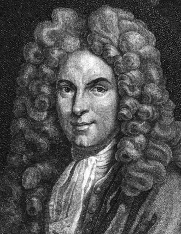
Guillaume De l’Isle (1675 - 1726) was a French cartographer, and arguably the finest mapmaker at the beginning of the eighteenth century. He was the son of Claude De L'Isle (1644 -1720), a Paris-based historian and geographer under Nicholas Sanson, then the leading light of French cartography. He was the chief proponent of the school of 'positive geography' and the primary figure defining the heights of the Golden Age of French Cartography. Guillaume's skill as a cartographer was so prodigious that he drew his first map at just nine years of age. He was tutored by J. D. Cassini in astronomy, science, mathematics and cartography. By applying these diverse disciplines to the vast stores of information provided by 18th century navigators, Guillaume created the technique that came to be known as 'scientific cartography', essentially an extension of Sanson's 'positive geography'. This revolutionary approach transformed the field of cartography and created a more accurate picture of the world. Among Guillaume's many firsts are the first naming of Texas, the first correct map of the Mississippi, the final rejection of the insular California fallacy, and the first identification of the correct longitudes of America. Stylistically De L'Isle also initiated important changes to the medium, eschewing the flamboyant Dutch style of the previous century in favor of a highly detailed yet still decorative approach that yielded map both beautiful and informative. Guillaume was elected to the French Academie Royale des Sciences at 27. Later, in 1718, he was also appointed 'Premier Geographe du Roi', an office created especially for him. De L'Isle personally financed the publication of most of his maps, hoping to make heavy royalties on their sales. Unfortunately he met an untimely death in 1728, leaving considerable debt and an impoverished child and widow. De L'Isle's publishing firm was taken over by his assistant, Phillipe Buache, who would also become his son in law.
De l'Isle's State-of-the-art cartography in a Dutch edition.
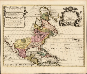
L' Amerique Septentrionale, Dressée sur les Observations de Mrs. de l'Academie Royale des Sciences, et quelques autres, et sur les Memoires les plus recens Par G. De l'Isle Geographe. a Amsterdam chez Pierre Schenk sur le vygendam, a l' Atlas de Sanson. Avec Privilege 1708.
$1,500.00
Acquire
- Digital Map Information
- Suitable for large format printing
- File Size: 22.52 MB
- File Type: ZIP / TIFF
- ICC color profile embedded
- Delivered instantly via download link
A truly beautiful original color example of Peter Schenk's 1708 edition of De L'Isle's foundational 1700 map of North America. Although derivative of De L'Isle, the map is richly decorative with a wealth of intriguing cartographic anomalies and tidbits. (more details)
Sweden's Age of Greatness.

Carte des Courones du Nord Dediée au tres puissant et tres invincible Prince Charles XII, Roy de Suede, des Gots et des Vandales, Grand Duc de Finlande etc, etc, etc. Par son tres humble et tres obeissant serviteur Guillaume De l'Isle Premier Geogr. du Roy de l'Academ. Rle. des Sciences.
$1,250.00
Acquire
- Digital Map Information
- Suitable for large format printing
- Full resolution TIFF file
- ICC color profile embedded
- Delivered instantly via download link
This is Guillaume de l'Isle's magnificent 1706 two-sheet map of Scandinavia, highlighting the empire of King Charles XII of Sweden. It captures the Kingdom of Sweden during the last reign of its 'Age of Greatness' at the height of the Great Northern War (1700 - 1721). The map further illustrates the degree to which early cartographers struggled to keep pace with evolving political events. The image above is a composite, but the map is in two separate sheets - as apparent in the subsequent photos. (more details)
'A towering landmark along the path of Western cartographic development' - Wheat
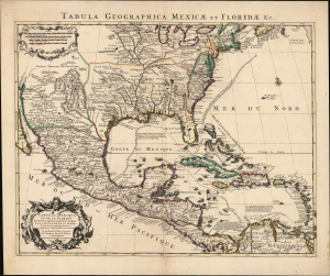
Carte du Mexique et de la Floride des Terres Angloises et des Isles Antilles... / Tabula Geographica Mexicae et Floridae etc.
$1,500.00
Acquire
- Digital Map Information
- Suitable for large format printing
- Full resolution TIFF file
- ICC color profile embedded
- Delivered instantly via download link
This is the 1722 Covens and Mortier issue of Guillaume de L'Isle's groundbreaking map of North America, focusing on Mexico, the Mississippi watershed, and the West Indies. De L'Isle first published this map in 1703, at which point it was the most sophisticated map of the region obtainable: the first map to accurately denote the course of the Mississippi River, the first to accurately place the Great Lakes, and the first appearance on a map of updates from La Salle, Bienville, and D'Iberville. (more details)
Highly decorative map of America.
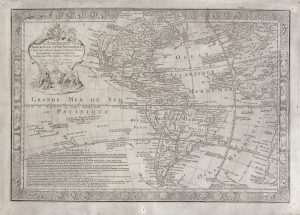
L'Amérique Méridionale et Septentrionale dressée sur les Nouv.les Decouv.tes et Dernieres Relations des Meilleurs Navigateurs decetemps Conformes aux Observations Astronomiques.
$2,000.00
Acquire
- Digital Map Information
- Suitable for large format printing
- DPI: 600
- File Size: 103.61 MB
- File Type: ZIP / TIFF
- ICC color profile embedded
- Delivered instantly via download link
This is a scarce, separately-issued 1731 Guillaume Danet map of America. The map combines the cartographic innovation of Guillaume De L'Isle with the decorative flourishes of Nicholas De Fer. (more details)
El Dorado, Maelstroms, and a Growing Understanding of American Geography.
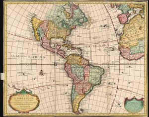
Carte d'Amerique Dressee pour l'Usage du Roy.
$900.00
Acquire
- Digital Map Information
- Suitable for large format printing
- File Size: 24.79 MB
- File Type: ZIP / TIFF
- ICC color profile embedded
- Delivered instantly via download link
This is an attractive example of Guillaume De l'Isle's map of America in its first Amsterdam issue. De l'Isle, as Geographer to the King, was considered authoritative throughout Europe, and his maps found an eager audience in Amsterdam and beyond throughout the 18th century. (more details)
Superior example with a bold strike and rich color.
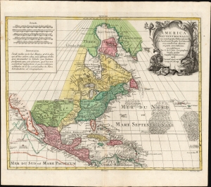
America Septentrionalis. Concinnata juxta observationes Dnn Academiæ Regalis Scientiarum et nonnullorum aliorum, et juxta annotationes recentissimas.
$950.00
Acquire
- Digital Map Information
- Suitable for large format printing
- File Size: 28.01 MB
- File Type: ZIP / TIFF
- ICC color profile embedded
- Delivered instantly via download link
This is a beautiful example of Conrad Tobias Lotter's c. 1772 map of North America. It is an expanded yet faithful rendition of Guillaume De l'Isle's 1700 L'Amerique Septentrionale - a 'foundation map' recognized by scholars and publishers throughout the 18th century. (more details)
Revised to Increase Accuracy and Avoid Beheading.
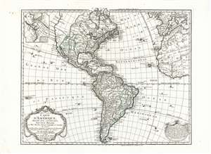
Carte D'Amerique Dressée Pour L'Instruction, Par Guil. Delisle Et Phil. Buache, Premiere Geographe de l'Academie des Sciences. Nouvellement Revue, Augmentée et Assujetie aux N.les Observations Astronomiques et Mrs. de l'Academie des Sciences. Par Dezauche Géographe, Successeur des Sr. Delisle et Phil. Buache. A Paris chez l'Auteur Rue des Noyers. Garantie Nationale An 9. 1800.
$750.00
Acquire
- Digital Map Information
- Suitable for large format printing
- Full resolution TIFF file
- ICC color profile embedded
- Delivered instantly via download link
This is Jean-Claude Dezauche's 1785 map of the Western Hemisphere, here in a superb example of its 1800 revision. While the map has its basis in the similarly titled map first printed in 1722 by De l'Isle, Dezauche did not use the plate inherited from De l'Isle's heir Buache. The map was re-drawn and re-engraved for its 1785 issue, and would be further amended in subsequent printings. (more details)