Most recently added antique and rare maps as of 7/5/2025.
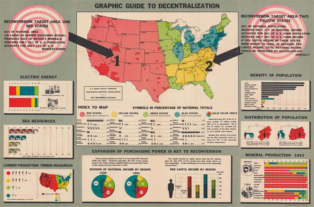
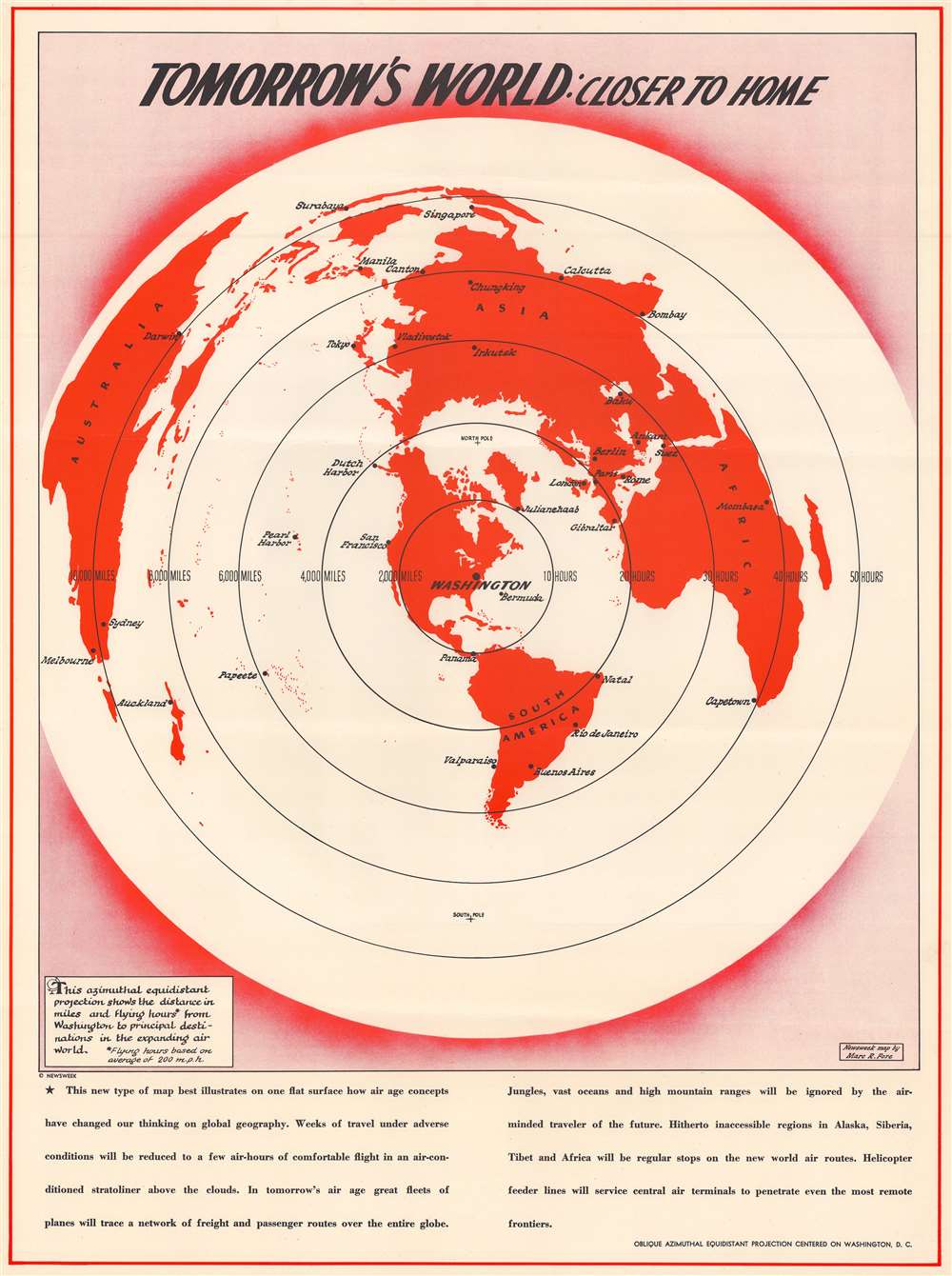
Preparing for a Post-War World.
$650.00
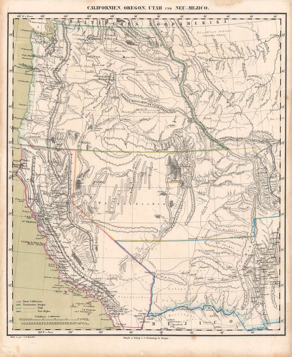
The height of the California Gold Rush.
$600.00
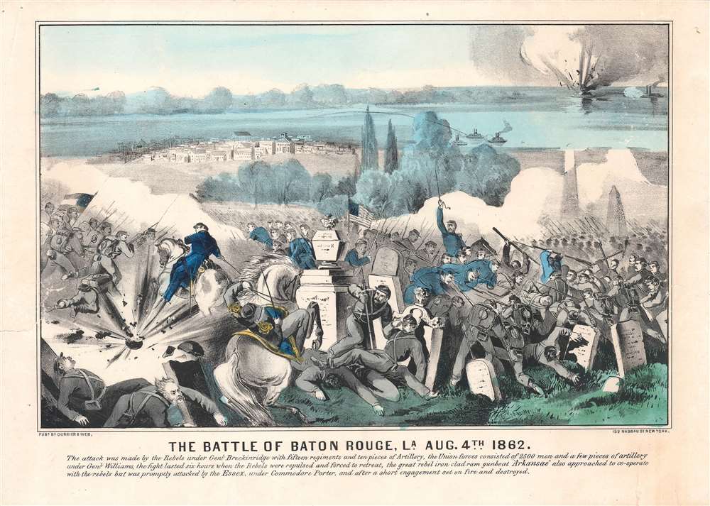
Securing Union control of New Orleans.
$600.00
Early 18th century map or plan of Boston, Massachusetts.
$500.00
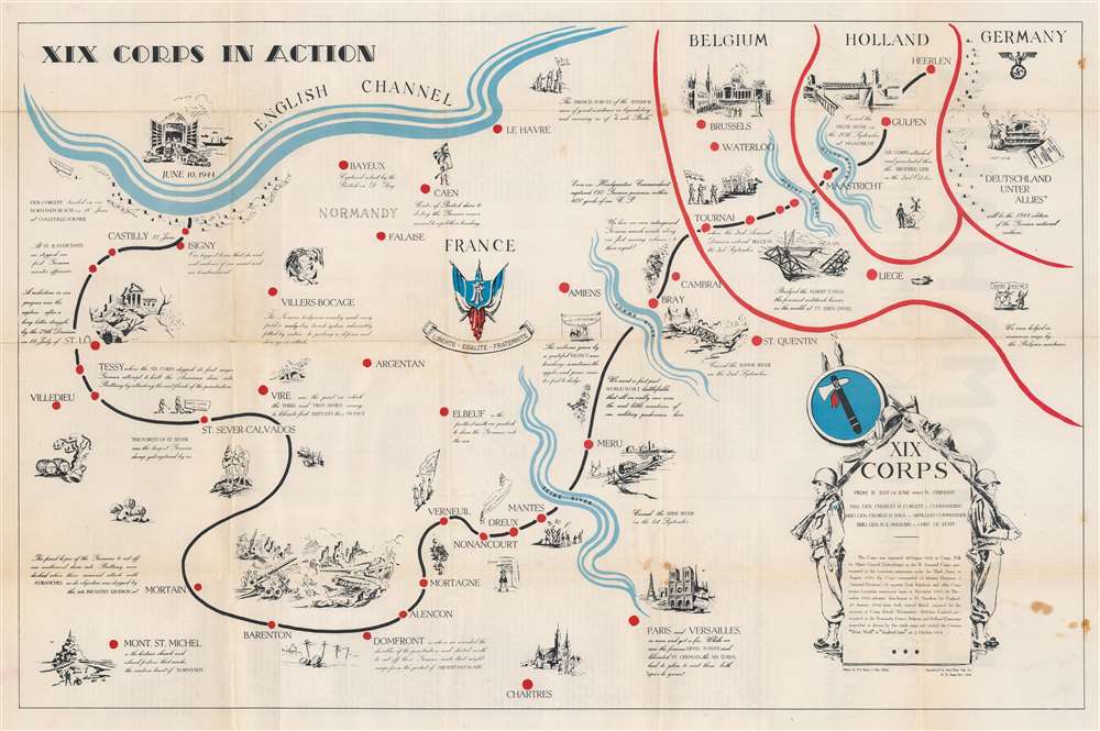
From Normandy to the Siegfried Line.
$325.00
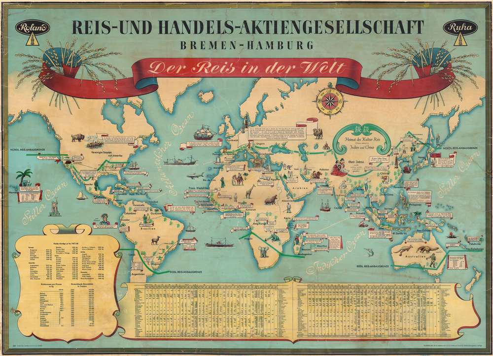
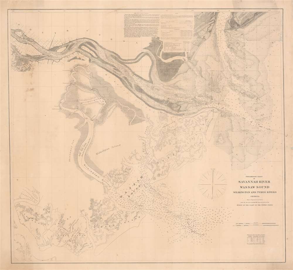
History of rice cultivation.
$2,000.00
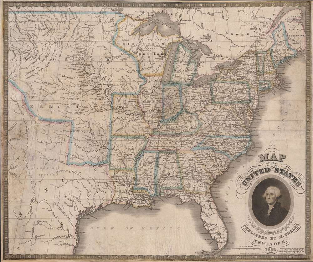
Identifies the Ouisconsin (Wisconsin) Territory before its official creation.
$1,250.00
Issued for the Civil War - one of just two known examples.
$1,200.00
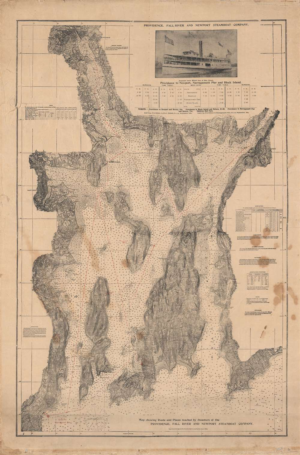
Promoting steamship travel in Narragansett Bay.
$950.00
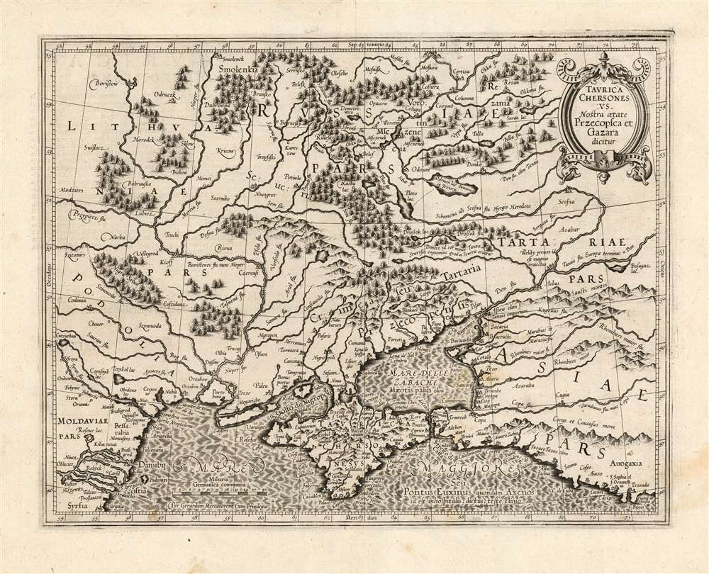
First atlas issue of Mercator's map of the lands of the Crimean Tatars.
$900.00
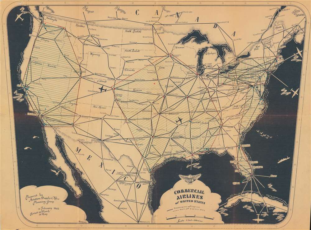
Using American commercial airlines to transport military supplies.
$550.00
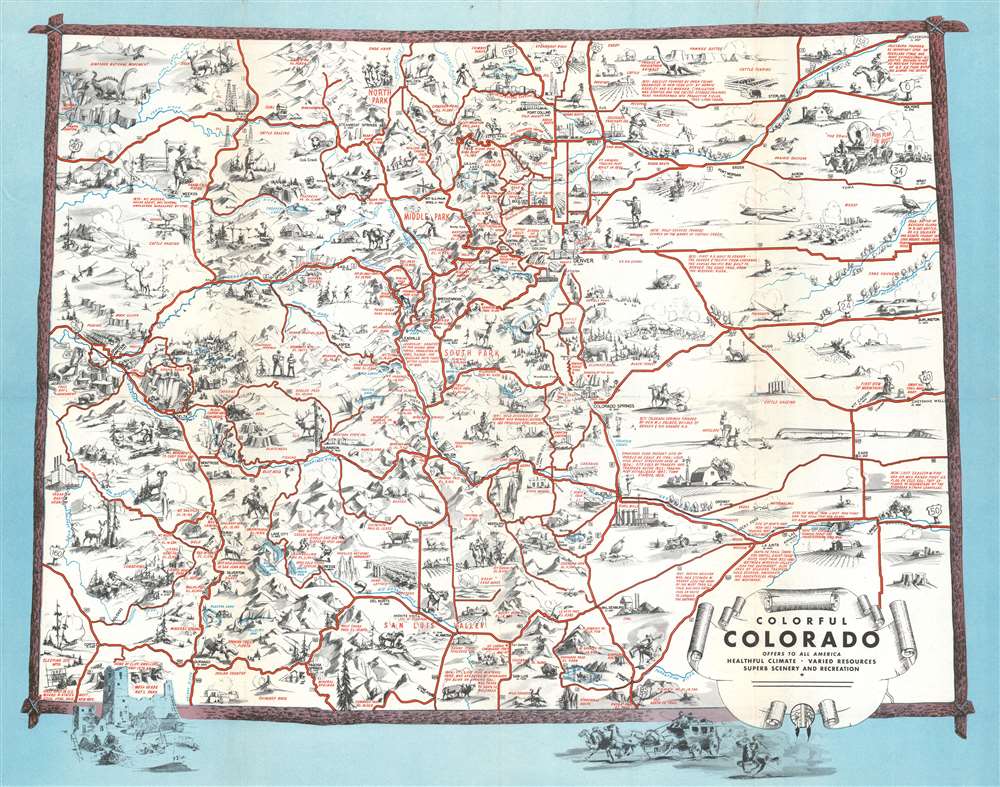
Includes a manuscript letter written home to his mother by a soldier in training in Colorado in 1943.
$400.00
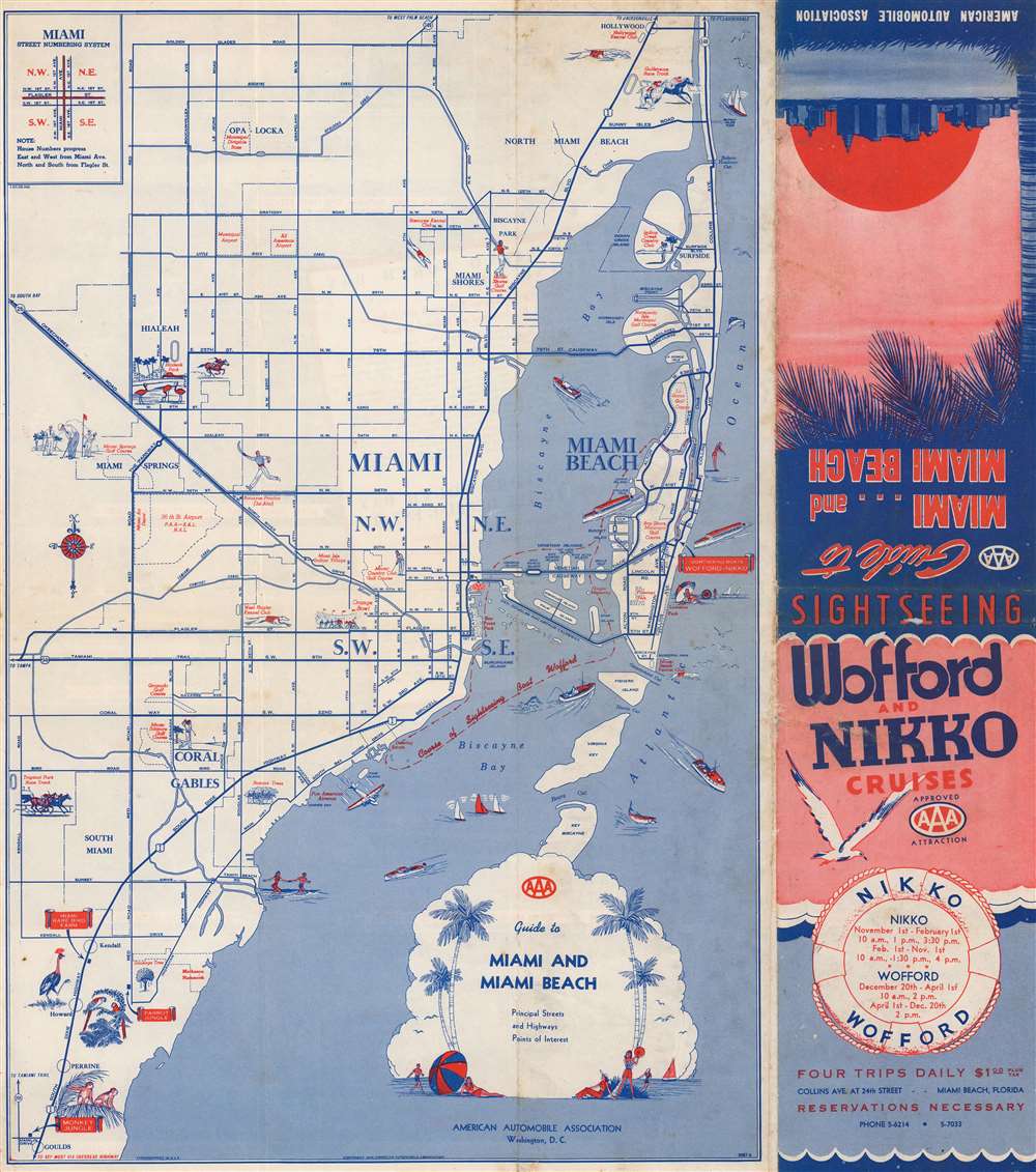
Go for a cruise around Biscayne Bay!
$250.00
If all you care about is here, this is a good place to be. -Emile de Becque
$2,200.00

