Most recently added antique and rare maps as of 7/4/2025.
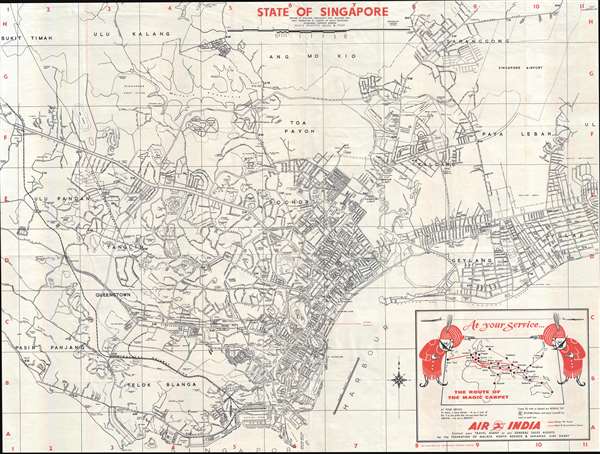
Rare Air India promotional map detailing the streets of Singapore!
$650.00
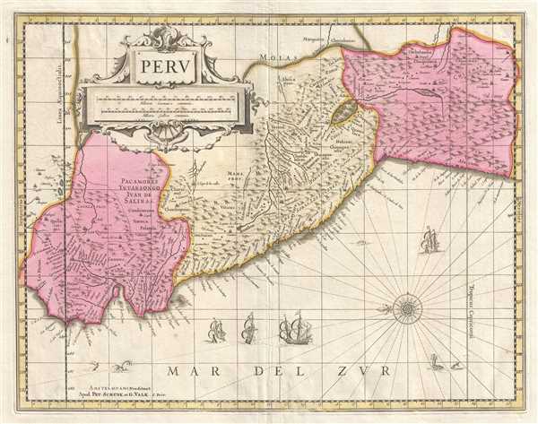
An incredible map of Peru clearly showing the unknown of the Amazon region.
$400.00
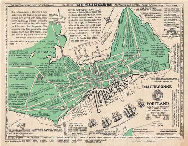
A charming map of Portland, Maine tracing events throughout the city's history.
$400.00
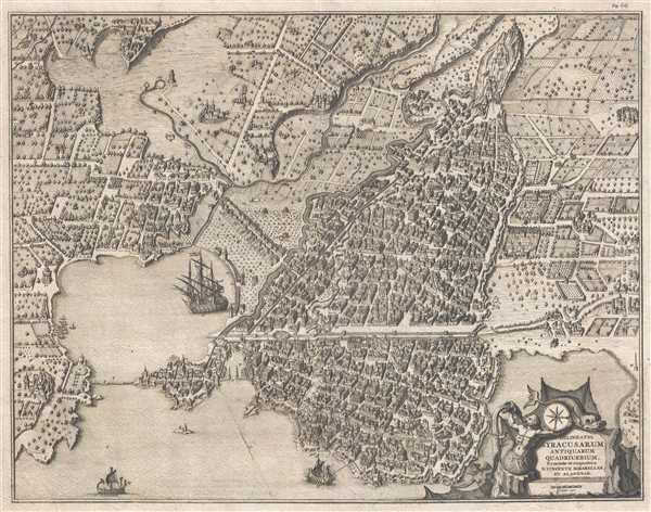
A rare, incredibly detailed, and meticulously engraved view of Syracuse.
$600.00
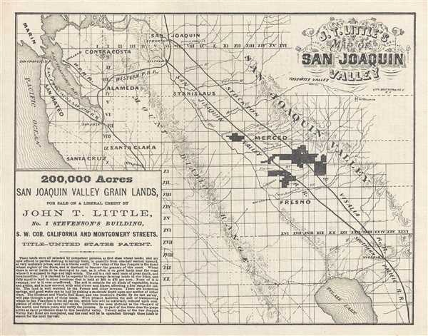
A real estate agent's advertisement promoting farm land for sale in the San Joaquin Vally in California.
$750.00
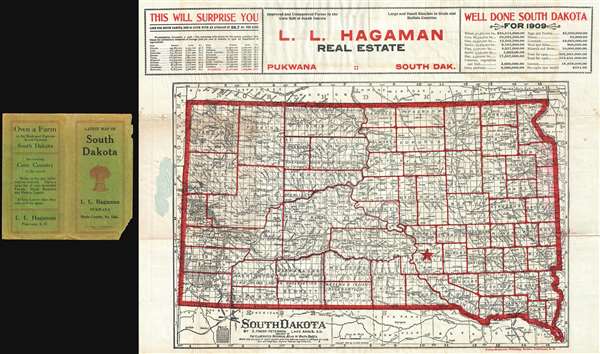
Early Dakota imprint inspiring settlement of South Dakota.
$650.00
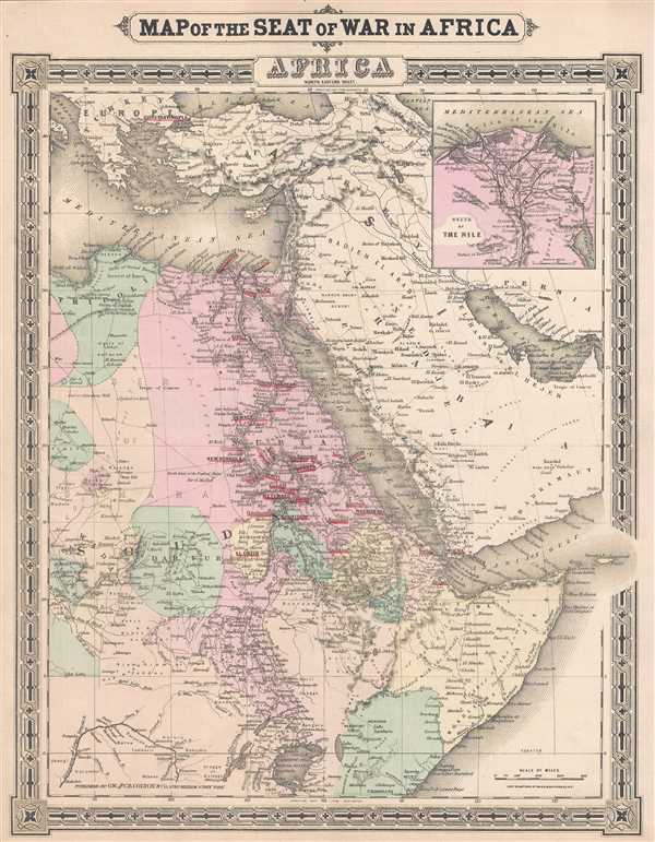
Dates from the Anglo-Egyptian War and the American Egyptian Expedition.
$500.00
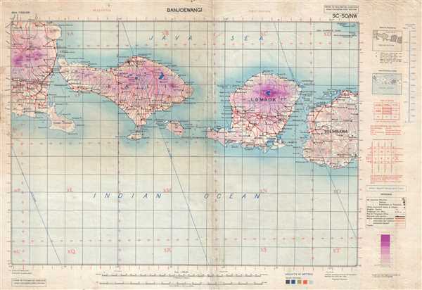
A detailed map of Bali and Lombok depicting from Java to Sumbawa.
$950.00
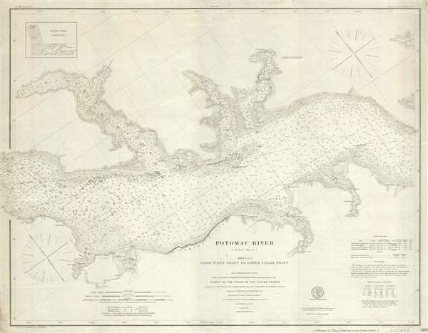
A highly detailed chart of part of the Potomac River.
$375.00
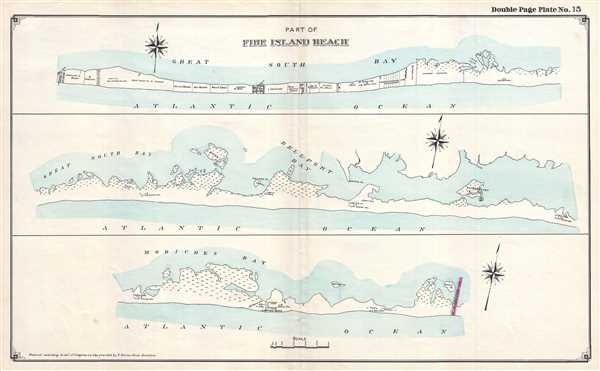
A wonderfully detailed map of Fire Island - illustrates numerous private land holdings and residences.
$350.00
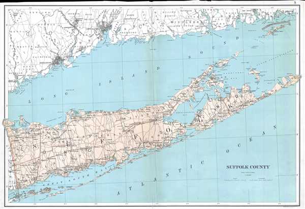
Stunning map of the Hamptons, Long Island's summer paradise.
$700.00
The North Landing River forms the head of Currituck Sound, part of the coastline of both North Carolina and Virginia.
$400.00
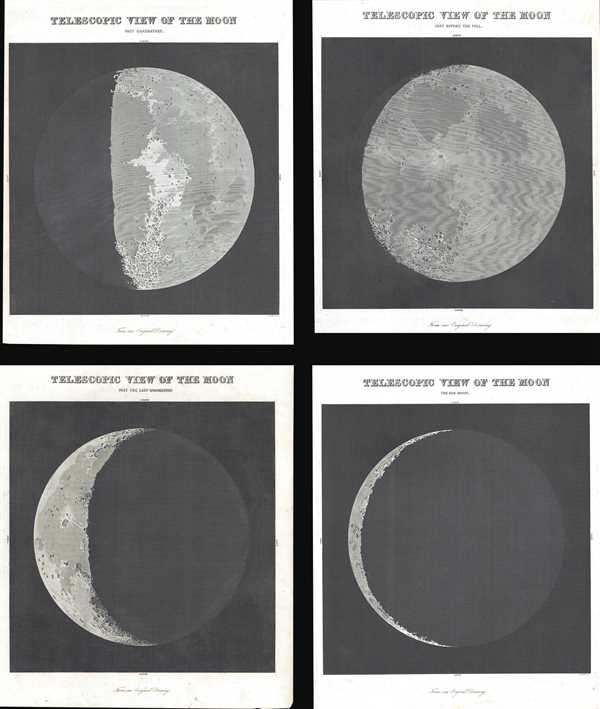
A set of four incredible views of the moon in four different phases.
$500.00
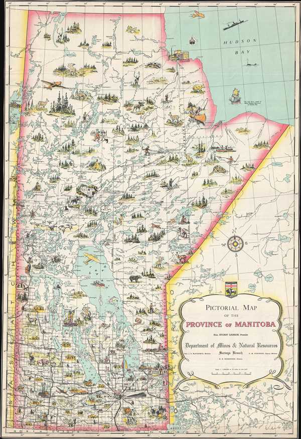
A charmingly illustrated pictorial map of the Province of Manitoba in Canada.
$250.00
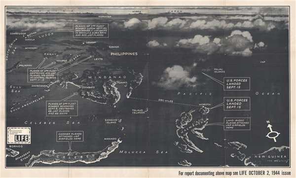
Created soon after the beginning of the Battle of Peleliu - the bitterest battle of the war for the Marines.
$700.00
Illustrates the blockade of the Japanse home islands - references the Twenty-First Bomber Command.
$700.00
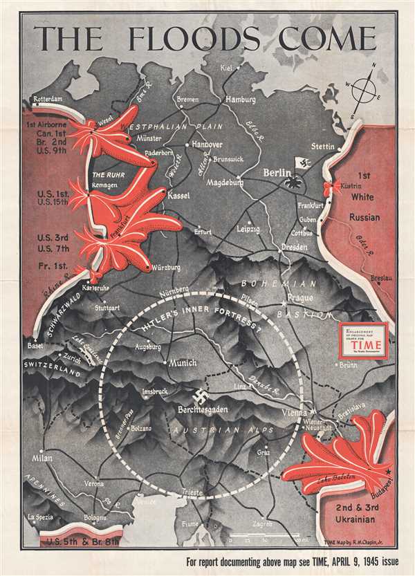
Depicts the Allied advance into Germany as a red flood over gray land.
$700.00
Illustrates the region soon after the outbreak of the American Civil War.
$125.00
Creates a visual comparison of the industrial strength of the North versus the weakness of the South in relation to the number of constructed and proposed railroad lines.
$200.00

