Most recently added antique and rare maps as of 7/5/2025.
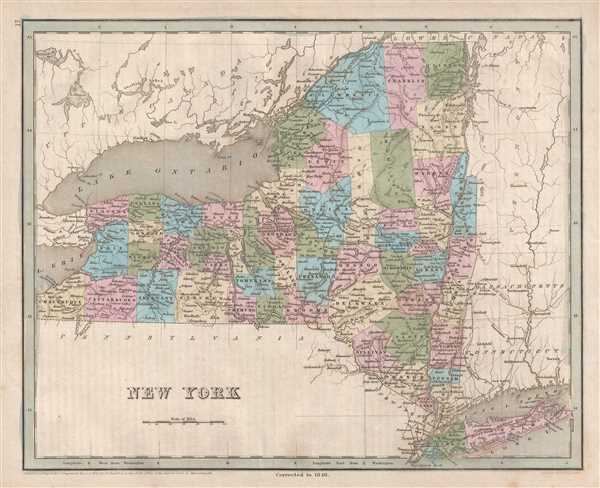
Illustrates the Erie Canal, the Long Island Railroad, and the New York and Harlem Railroad - one of the first railroads in the United States.
$250.00
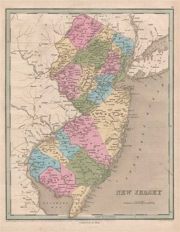
Depicts the extensive rail network in New Jersey, including the Camden and Amboy - one of the ten oldest railroads in North America.
$250.00
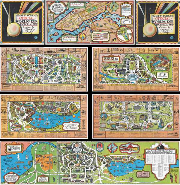
An engaging and funny booklet containing six pictorial maps of the 1939 New York World's Fair.
$800.00
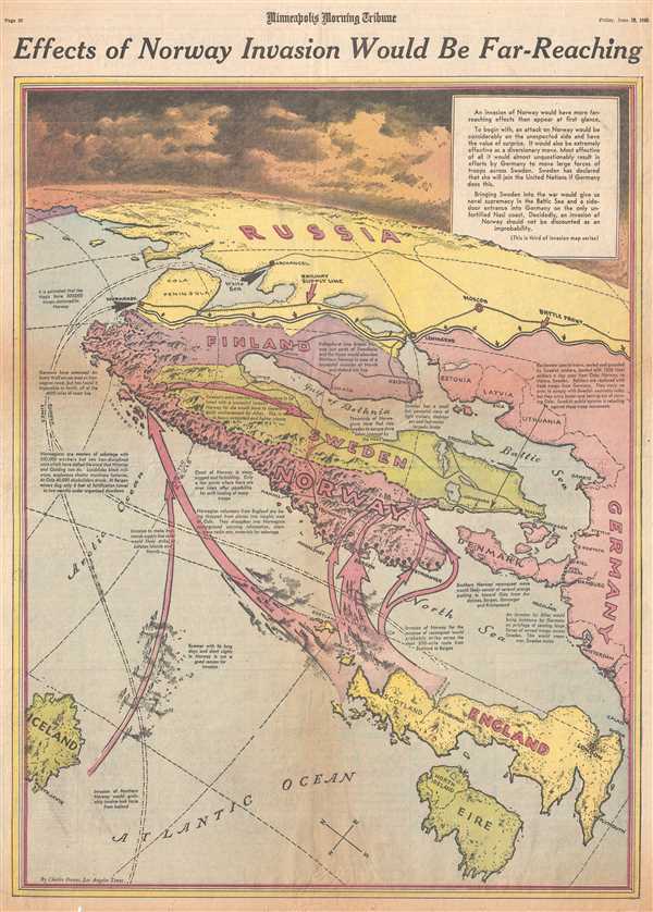
The third in a series of maps of possible Allied invasions during the summer of 1943.
$250.00
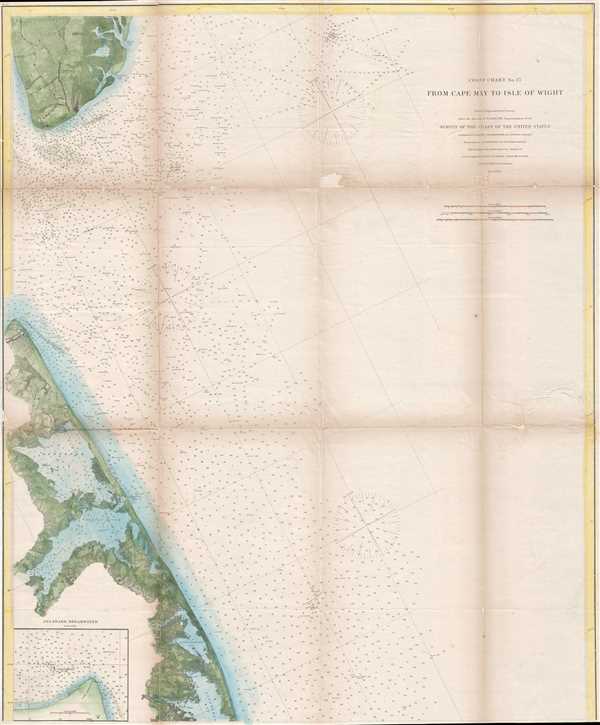
Features an inset map of Cape Henlopen and the Delaware Breakwater.
$250.00
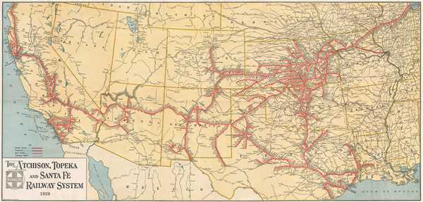
Depicts the rail network of the Atchison, Topeka and Santa Fe railway - the second transcontinental rail route.
$350.00
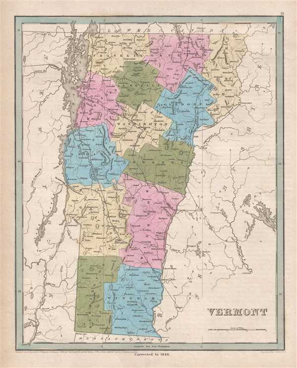
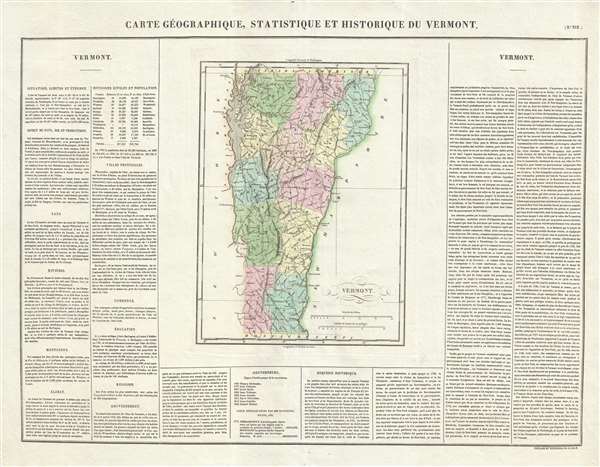
One of the first maps of Vermont published outside of the United States.
$175.00
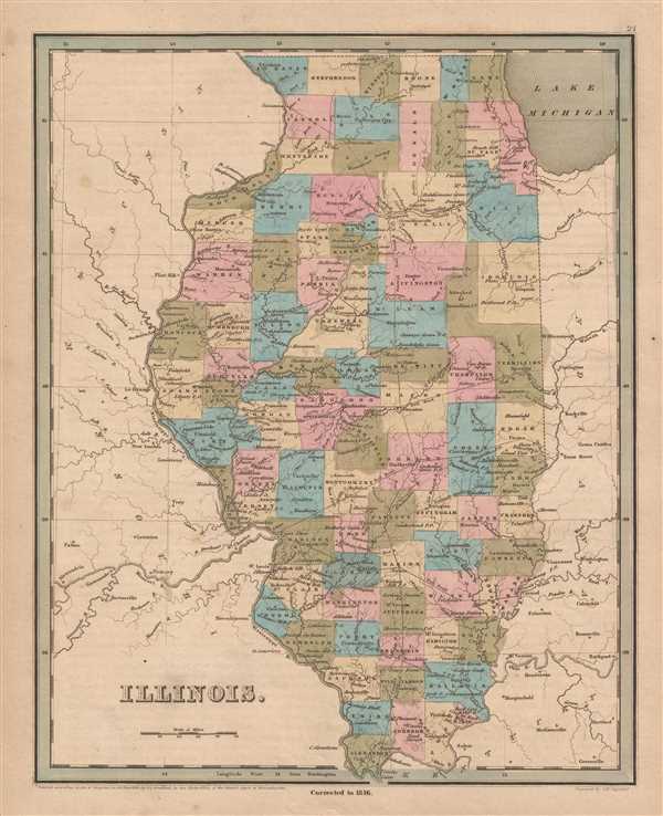
Depicts the Illinois and Michigan Canal which helped establish Chicago as a transportation hub before railroads became the dominant form of transportation.
$350.00
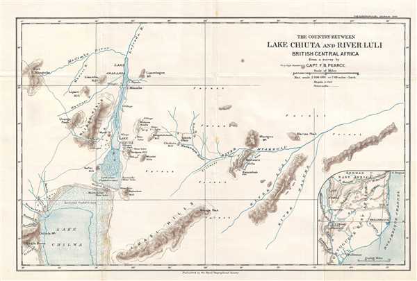
A first-hand accounting of a 'hitherto blank piece of country' created in the early 20th century.
$250.00
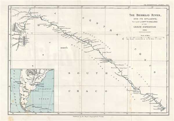
An early map of the Bermejo River by Captain Henry Bolland - an expert on the navigation of South American rivers.
$250.00
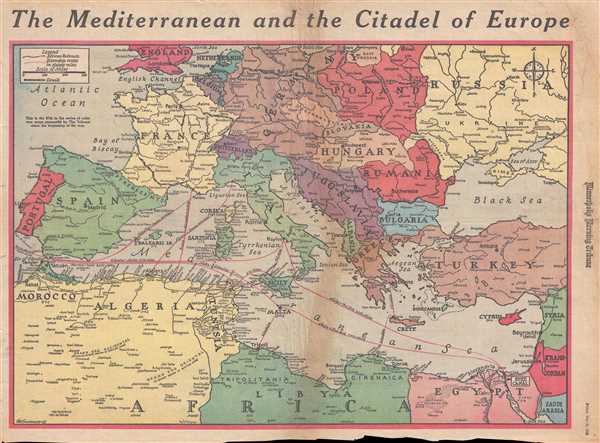
Printed a week after the Allies secured the surrender of German and Italian forces in North Africa.
$200.00
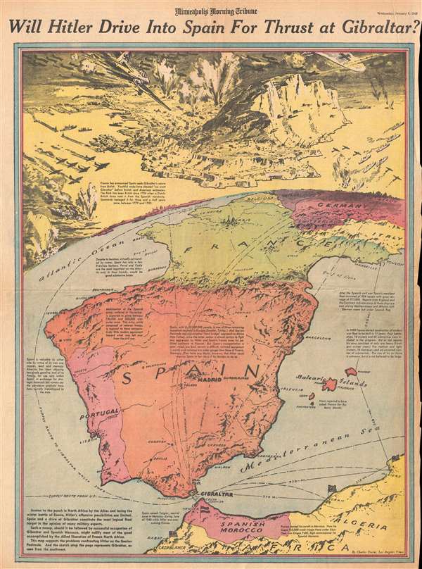
Includes an incredible view of an imagined Nazi aerial attack on Gibraltar.
$250.00
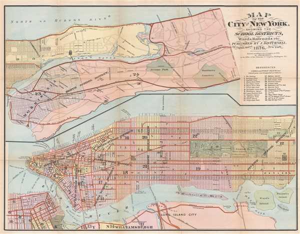
A rare map of New York City labeling school districts.
$450.00
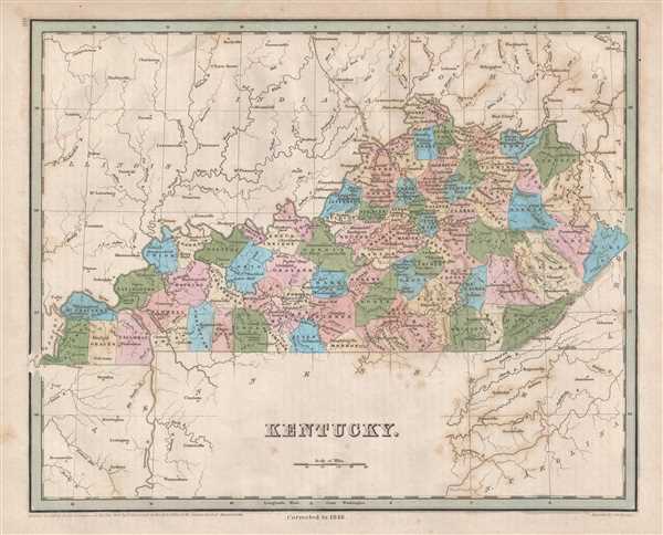
Illustrates the route of the Lexington and Ohio Railroad - the only railroad in operation in Kentucky until 1859.
$250.00
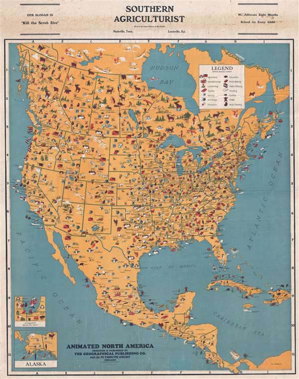
Early pictorial map designed to illustrate American production and resources.
$450.00
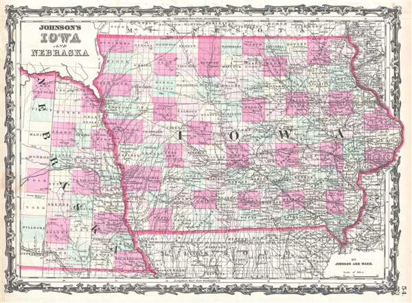
Illustrates the Mississippi and Missouri Railroad in Iowa.
$100.00
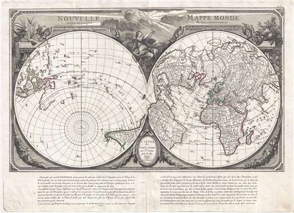
Fascinating map the divides the world into terrestrial and maritime hemispheres and argues for a Paris Prime Meridian.
$1,800.00
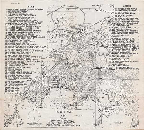
World War II Allied target map of Tsingtao. This map is unique and unlike any others we were able to locate.
$775.00

