
Sales, Jean-Baptiste-Claude Delisle de Sales (Jean-Baptiste Isoard de Lisle)
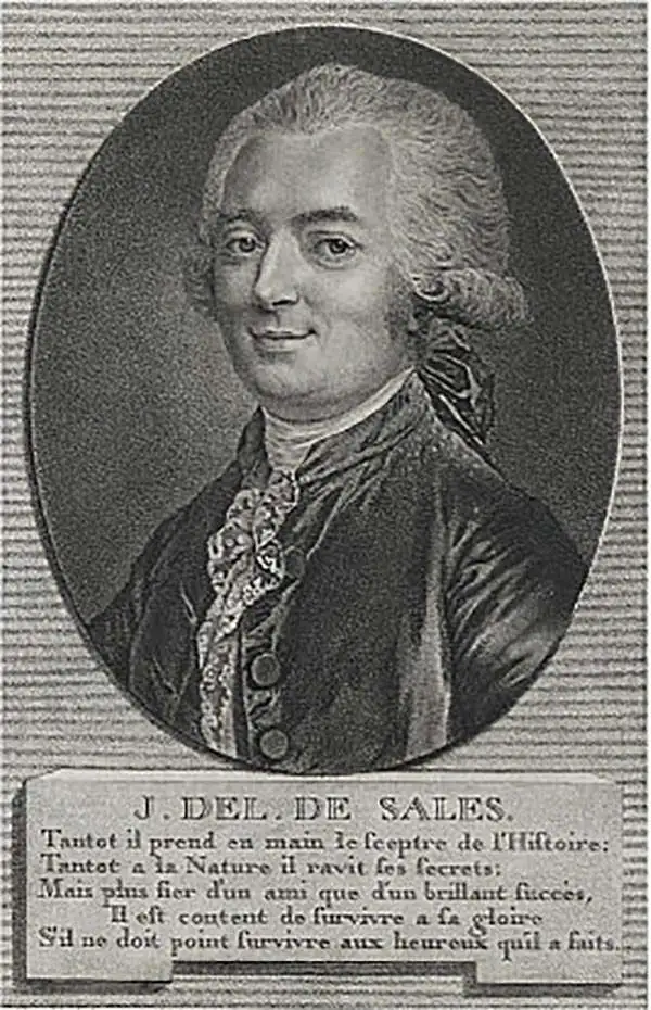
Jean-Baptiste-Claude Delisle de Sales or Jean-Baptiste Isoard de Lisle (1741–1816) was a French philosopher, historian, and accused heretic active in the late 18th century. Sales is best known for his publication of the multi-volume opus The Philosophy of Nature: Treatise on Human Moral Nature. The work, among other ideas, challenged the Biblical theory that the earth was created in 4004 BC. Instead, Sales put forth the theory based upon astronomical observations, that the earth was 140,000 years old. Sales' revolutionary ideas caused him to be declared a heretic by the Catholic Church. His publications were subsequently censored and, for the most part, destroyed. As a consequence all of his works are today extremely rare. Sales was also, notably, a close friend of Voltaire who in 1777 visited him in prison, gifting him 500 pounds towards his release. Delisle de Sales is unrelated to the more famous De L'Isle family of cartographers.
AKA: Jean-Baptiste Isoard de Lisle
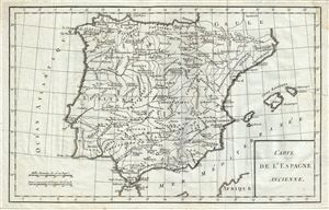
Carte de l'Espagne Ancienne.
$175.00
Acquire
- Digital Map Information
- Suitable for large format printing
- DPI: 300
- File Size: 4.41 MB
- File Type: ZIP / TIFF
- ICC color profile embedded
- Delivered instantly via download link
This is a beautiful 1770 map of Ancient Iberia or Spain and Portugal during ancient Roman times, by Jean- Baptiste-Claude Delisle de Sales. The map covers all of Iberia under the Roman Republic from the Atlantic Ocean to the Mediterranean Sea. The map identifies ... (more details)
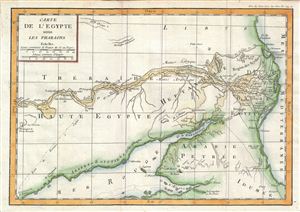
Carte de l'Egypte sous les Pharaons.
$200.00
Acquire
- Digital Map Information
- Suitable for large format printing
- DPI: 300
- File Size: 3.58 MB
- File Type: ZIP / TIFF
- ICC color profile embedded
- Delivered instantly via download link
This is a fascinating example of the 1770 Jean-Baptiste-Claude Delisle de Sales' historical map of Egypt. The map depicts Egypt under the rule of the Pharaohs and, centered on the Nile Valley, covers from the Mediterranean Sea to the Elephantine Island. The ... (more details)
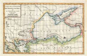
Carte de la Navigation des Argonautes Grecs, ou de l'Expedition de Jason pour servir a l'Histoire de la Grece.
$225.00
Acquire
- Digital Map Information
- Suitable for large format printing
- DPI: 300
- File Size: 4.28 MB
- File Type: ZIP / TIFF
- ICC color profile embedded
- Delivered instantly via download link
This is a fascinating example of the 1770 Jean-Baptiste-Claude Delisle de Sales' map of the Black Sea and surrounding regions illustrating the Argonautic Expedition. Depicting the mythical journey of Jason and the Argonauts, this map, centered on the Black ... (more details)
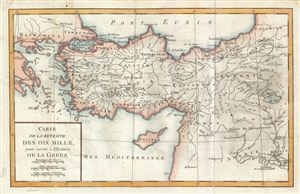
Carte de la Retraite des Dix Mille, pour servir a l'Histoire de la Grece.
$200.00
Acquire
- Digital Map Information
- Suitable for large format printing
- DPI: 300
- File Size: 4.26 MB
- File Type: ZIP / TIFF
- ICC color profile embedded
- Delivered instantly via download link
This is a fascinating example of the 1770 Jean-Baptiste-Claude Delisle de Sales' map of Turkey illustrating the historic Retreat of the Ten Thousand Greeks. This map was drawn as a record of the History of Greece. From 401 BC and 399 BC, a group of ten ... (more details)
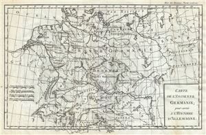
Carte de l'Ancienne Germanie.
$175.00
Acquire
- Digital Map Information
- Suitable for large format printing
- DPI: 300
- File Size: 4.47 MB
- File Type: ZIP / TIFF
- ICC color profile embedded
- Delivered instantly via download link
This is a fine 1782 map of Ancient Germany by Jean- Baptiste-Claude Delisle de Sales. Centered on Bohemia, the map covers the lands of the Germanic people prior to the fall of the Roman Empire, from modern day Denmark to the Adriatic Sea and from France ... (more details)
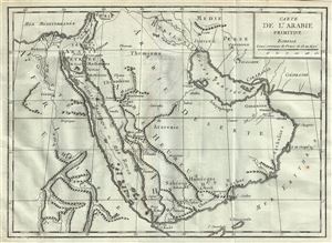
Carte de l'Arabie Primitive.
$225.00
Acquire
- Digital Map Information
- Suitable for large format printing
- DPI: 300
- File Size: 3.93 MB
- File Type: ZIP / TIFF
- ICC color profile embedded
- Delivered instantly via download link
This is an interesting 1782 map by Jean- Baptiste-Claude Delisle de Sales, rendering Arabia, Ethiopia and Egypt in antiquity. Centered on the Red Sea (Golfe Arabique or Mer Rouge), this map covers the entirety of the Arabian Peninsula, the Persian Gulf ... (more details)
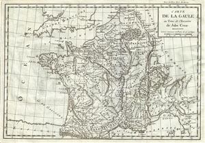
Carte de la Gaule au Tems de l'Invasion de Jules Cesar.
$175.00
Acquire
- Digital Map Information
- Suitable for large format printing
- DPI: 300
- File Size: 4.43 MB
- File Type: ZIP / TIFF
- ICC color profile embedded
- Delivered instantly via download link
This is a scarce 1782 map issued by Jean- Baptiste-Claude Delisle de Sales depicting Gaul or France at the time of the invasion by Julius Caesar. The map covers from the English Channel south as far as the Mediterranean and Florence in modern day ... (more details)
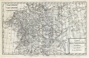
Carte de l'Allemagne Moderne.
$200.00
Acquire
- Digital Map Information
- Suitable for large format printing
- DPI: 300
- File Size: 4.78 MB
- File Type: ZIP / TIFF
- ICC color profile embedded
- Delivered instantly via download link
A fine 1782 map of Germany and Poland by Jean- Baptiste-Claude Delisle de Sales. The map covers Germanic territories from the Baltic Sea to the Gulf of Venice and from France to Russia. Includes Germany, Austria, Bohemia (Czech Republic), ... (more details)
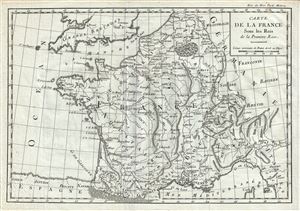
Carte de la France Sous les Rois de la Premiere Race.
$175.00
Acquire
- Digital Map Information
- Suitable for large format printing
- DPI: 300
- File Size: 4.62 MB
- File Type: ZIP / TIFF
- ICC color profile embedded
- Delivered instantly via download link
A beautiful 1782 map of France in antiquity by Jean- Baptiste-Claude Delisle de Sales. It covers the region from the English Channel south as far as the Mediterranean and Florence in modern day Italy. It includes the modern day nations of ... (more details)