
Cram, George Franklin (sold)

George Franklin Cram (May 20, 1842 - 1928) was an American map publisher active in the late 19th and early 20th centuries. During the American Civil War, Cram served as a staff cartographer for the Union General Ulysses S. Grant and participated in Sherman's 'March to the Sea'. In 1867, after being discharged from the army, George Cram moved to Chicago, where he founded 'Blanchard and Cram' with his uncle Rufus Blanchard Evanston. Blanchard and Cram was a supply house for the book trade - though they also published a few maps during this period. This short lived business was destroyed in the 1871 by the Great Chicago Fire. After the fire, recognizing a business opportunity in the burgeoning railroad industry, Cram reinvented himself as cartographic publisher, opening the Cram Map Depot. Like fellow Chicago publisher Rand McNally, Cram took advantage of the economical wax engraving processes to inexpensively produce maps in vast quantities. His signature publication, the Unrivaled Atlas of the World became the world's best-selling atlas and was published from the 1880s to 1952. On retiring in 1921, Cram sold his company to Edward A. Peterson of the National Map Company (Scarborough Company). Peterson moved the company to Indianapolis where, following Cram's death, he rebranded the National Map Company as the George F. Cram Company, surely thinking to capitalize on the established identity of the firm. In 1930 he entered the globe market for which the firm was best known from the mid-20th century. In time the firm expanded globally passing becoming a major concern. Loren B. Douthit became company president in 1968 and the Douthit family ran the business until Herff Jones, Inc., bought the company in 2005.
An Attractive 19th. Century Texas, with Railroads and Ranches
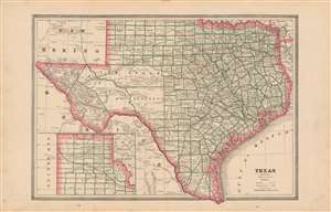
Texas.
sold
- Digital Map Information
- Suitable for large format printing
- File Size: 15.35 MB
- File Type: ZIP / TIFF
- ICC color profile embedded
- Delivered instantly via download link
This is an 1883 map of Texas, most likely from Cram's 'Unrivaled Family Atlas of the World'. The state is outlined in red: counties are bordered in green. Reeves County is not yet shown. Tom Green, Pecos, Presidio and El Paso Counties are still not subdivided. Topographical features and rivers are shown with hachure. Railroads are clearly noted. Towns, and even major ranches are also located. Interestingly, greer County is shown as part of Texas. (Even an 1896 Supreme Court ruling was insufficient in settling ownership of the land in question.) (more details)
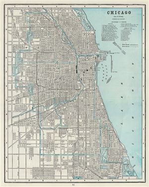
Chicago.
sold
- Digital Map Information
- Suitable for large format printing
- File Size: 18.21 MB
- File Type: ZIP / TIFF
- ICC color profile embedded
- Delivered instantly via download link
This is an attractive 1885 map or city plan of Chicago, Illinois, issued by George F. Cram. It covers the city from Lincoln Park south as far as Jackson Park and from Garfield Park east as far as Lake Michigan. This highly detailed map notes parks, piers, lakes, ... (more details)
The golden age of rail...
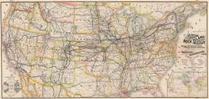
New and Correct Map of the Great Rock Island Route Chicago, Rock Island and Pacific and Chicago, Kansas and Nebraska Railways.
sold
- Digital Map Information
- Suitable for large format printing
- File Size: 52.84 MB
- File Type: ZIP / TIFF
- ICC color profile embedded
- Delivered instantly via download link
This is an 1888 George F. Cram and Rock Island Railroad map of the United States. Centered on the railroad network of the 'Chicago, Rock Island, and Pacific Railroad', every stop from Chicago to Omaha is labeled. The same detail is present along the lines of the 'Chicago, Kansas, and Nebraska Railway'. The rest of the transcontinental railroad network is illustrated as well, with the Union Pacific, Northern Pacific, Southern Pacific, and the Denver and Rio Grande noted. An inset map situated in the lower right details the global trade network operated 'via the Chicago, Rock Island, and Pacific Railway'. (more details)
Rare map detailing 11 of Utah's earliest railroads!
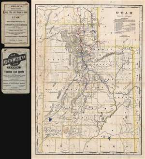
Utah. / Cram's Indexed Township County Map and Shipper's Guide of Utah.
sold
- Digital Map Information
- Suitable for large format printing
- File Size: 10.59 MB
- File Type: ZIP / TIFF
- ICC color profile embedded
- Delivered instantly via download link
A highly unusual and rare c. 1900 George F. Cram map of Utah illustrating railroad lines. Covering the entire state of Utah, the map is overprinted in red and updated in manuscript, presumably by the publisher, to illustrate 11 railway lines operating throughout ... (more details)
Renaming Chicago's streets.
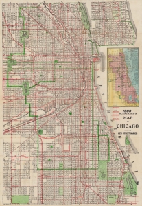
Blanchard's map of Chicago with new street names, steam railroads, street car lines, street numbers and sections.
sold
- Digital Map Information
- Suitable for large format printing
- Full resolution TIFF file
- ICC color profile embedded
- Delivered instantly via download link
A large 1909 folding map of Chicago published by Rufus Blanchard and George F. Cram. Among other features, it highlights the renumbering of the city's streets that began the year of publication. (more details)
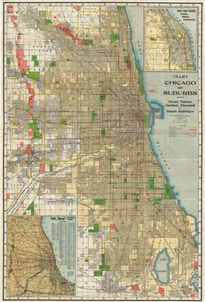
Cram's Chicago and Suburbs.
sold
- Digital Map Information
- Suitable for large format printing
- File Size: 61.68 MB
- File Type: ZIP / TIFF
- ICC color profile embedded
- Delivered instantly via download link
This is a large 1920 map or city plan of Chicago, Illinois by G. F. Cram. This enormous pocket map was issued as a tourist guide and depicts the city of Chicago and its suburbs in great detail. It covers from Park Ridge south as far as Lake Calumet and from La ... (more details)
Pre-Network Radio Map!
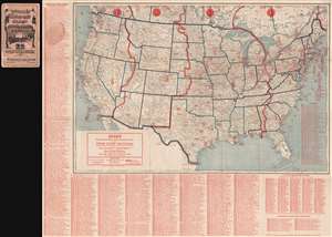
Cram's Detailed Radio Map of Broadcasting Stations of the United States and Canada.
sold
- Digital Map Information
- Suitable for large format printing
- File Size: 106.63 MB
- File Type: ZIP / TIFF
- ICC color profile embedded
- Delivered instantly via download link
This a scarce 1924 pre-network radio station map of the United States and parts of Canada issued by The George F. Cram Company. The map depicts the whole of the United States and southern Canada divided according to time zones. Over a thousand radio stations are identified throughout the map along with their associated call numbers. The first radio network broadcast, by NBC (National Broadcasting System), took place on November 15, 1926, two years after this map was issued. (more details)
'Isle of Dreams - Pleasure Center.'
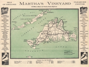
Road Map of Martha's Vineyard Island, Massachusetts.
sold
- Digital Map Information
- Suitable for large format printing
- Full resolution TIFF file
- ICC color profile embedded
- Delivered instantly via download link
This is a c. 1930 George F. Cram road map of Martha's Vineyard, Massachusetts. (more details)
Detailed street map of Boston and vicinity.
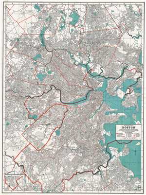
Cram's Street Map of Boston.
sold
- Digital Map Information
- Suitable for large format printing
- File Size: 34.88 MB
- File Type: ZIP / TIFF
- ICC color profile embedded
- Delivered instantly via download link
This is a beautiful 1939 map or plan of the city of Boston, Massachusetts and its surroundings issued by The George F. Cram Company, Inc. It covers from Woburn south to Hyde Park and from Belmont east to Boston Harbor. Includes the areas of Arlington Belmont, ... (more details)