
Federated Malay States Survey (sold)

Federated Malay States Survey (1922 - 1945), better known as the F.M.S. Survey Department, was established in the early 20th century to produce detailed surveys of British Malaya and the Straits Settlements. The survey department had offices in most major Malayan ports, including Singapore, Kuala Lumpur, Penang (Georgetown), and Malacca. They were the first official survey organization to publish detailed scientifically produced maps of the region.
Tin and Rubber Booms.
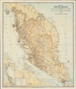
Map of British Malaya including the Straits Settlements Federated Malay States and Malay States Not Included in the Federation.
sold
- Digital Map Information
- Suitable for large format printing
- File Size: 492.69 MB
- File Type: ZIP / TIFF
- ICC color profile embedded
- Delivered instantly via download link
A scarce 1922 map of Malaya, modern-day Malaysia, issued by the surveyor general of the Federated Malay States some 13 years after the British consolidated the northern four Malay states from Siam into the Unfederated Malay States. It illustrates the early days of the Malay tin and rubber booms. (more details)
Height of British Colonialism Land co-optation in Malaya.
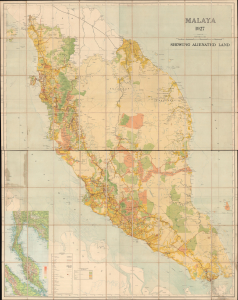
Malaya 1927 Showing Alienated Land.
sold
- Digital Map Information
- Suitable for large format printing
- File Size: 134.17 MB
- File Type: ZIP / TIFF
- ICC color profile embedded
- Delivered instantly via download link
This is a rare and important large format (72 x 56.25 in) 1927 F.M.S. Survey folding wall map of the Malay Peninsula, including Singapore and the Straits Settlements. Among other features, it provides a comprehensive view of land usage (or in this case, 'Alienation' of the lands from Malay populations into British company ownership) across the Malay Peninsula at the height of the colonial era. (more details)
Scarce wall map of the mountainous Malaysian state of Pahang.
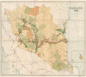
Pahang 1928.
sold
- Digital Map Information
- Suitable for large format printing
- File Size: 34.35 MB
- File Type: ZIP / TIFF
- ICC color profile embedded
- Delivered instantly via download link
An exceptional and very rare 1928 wall map of the state of Pahang, a large state in Peninsular Malaysia just east of Kuala Lumpur. This map was issued by the Federated Malay States (F. M S.) Survey and printed in London by Edward Stanford. Being of enormous ... (more details)
Scarce wall map of the Malaysian capital Kuala Lumpur.
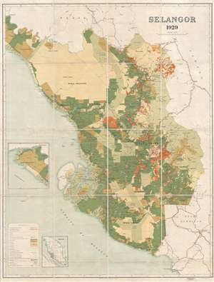
Selangor 1929.
sold
- Digital Map Information
- Suitable for large format printing
- File Size: 37.71 MB
- File Type: ZIP / TIFF
- ICC color profile embedded
- Delivered instantly via download link
An exceptional 1929 wall map of the Malay state of Selangor, including Malaysia's vibrant capital Kuala Lumpur. This map was issued by the Federated Malay States (F. M S.) Survey and printed in London by Edward Stanford. Being of enormous size, this map ... (more details)
Malay road network.

Malaya 1933.
sold
- Digital Map Information
- Suitable for large format printing
- File Size: 16.96 MB
- File Type: ZIP / TIFF
- ICC color profile embedded
- Delivered instantly via download link
A rare 1933 map of Malaya, modern-day Malaysia, issued by the surveyor general of the Federated Malay States (FMS). The map covers the Malay peninsula from the Thai/Siamese border to Singapore. This is a topographical map drawn to illustrate the developing road system. Roads, both extant and under construction, are highlighted in red. The map also details railway lines, cart tracks, light railways, and state boundaries. Hotels, rest houses, and golf courses are also identified. A table in the lower left identifies distances from Kuala Lumpur, wireless stations, and meteorological stations. (more details)
Rare map of Malaysia's third largest city!
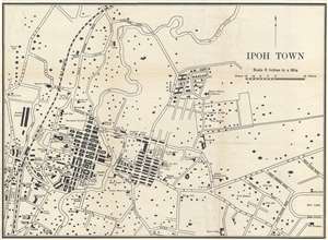
Ipoh Town.
sold
- Digital Map Information
- Suitable for large format printing
- File Size: 2.01 MB
- File Type: ZIP / TIFF
- ICC color profile embedded
- Delivered instantly via download link
This is a scarce 1933 map of Ipoh Town, the third largest city in Malaysia. The map covers the modern-day center of Ipoh from the railway station to, roughly Perak. Although this map was printed in 1933, it was probably based upon F.M.S. (Federated Malay ... (more details)
Hard to find early map of Kuala Lumpur!
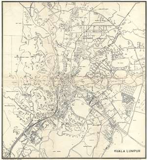
Kuala Lumpur.
sold
- Digital Map Information
- Suitable for large format printing
- File Size: 6.36 MB
- File Type: ZIP / TIFF
- ICC color profile embedded
- Delivered instantly via download link
A very uncommon 1933 map of Kuala Lumpur, the capital of Malaysia, issued by Printers Ltd. of Singapore. This map is centered on the Kuala Lumpur City Center and the modern day Central Market. It extends from the modern day Perdana Botanical Garden ... (more details)
Uncommon map of Seranban, Malasia.
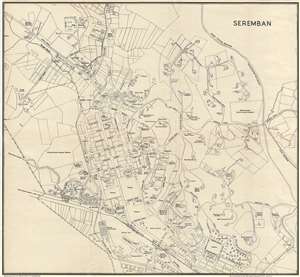
Seremban.
sold
- Digital Map Information
- Suitable for large format printing
- File Size: 5.03 MB
- File Type: ZIP / TIFF
- ICC color profile embedded
- Delivered instantly via download link
A very uncommon 1933 map of Seremban, Malaysia, issued by Printers Ltd. of Singapore. This map is centered on the government office and Cenotaph at Jabatan Pendidikan Negeri Sembilan and extends from Jalan Lobak to Jalan Ampangan. This map is ... (more details)
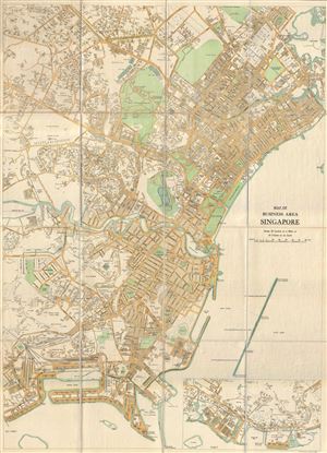
Map of Business Area Singapore.
sold
- Digital Map Information
- Suitable for large format printing
- File Size: 33.88 MB
- File Type: ZIP / TIFF
- ICC color profile embedded
- Delivered instantly via download link
An extremely scarce 1934 F.M.S. (Federated Malay States) Survey map of Singapore's downtown business district. Presented on a scale of 10 inches to the mile, this highly detailed survey covers roughly from the Mount Victoria / Goodwood Hill ... (more details)
Historical and social stratification.
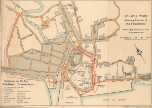
Malacca town, Showing position of old fortifications.
sold
- Digital Map Information
- Suitable for large format printing
- File Size: 2.98 MB
- File Type: ZIP / TIFF
- ICC color profile embedded
- Delivered instantly via download link
An intriguing 1936 map of Malacca (Melaka) highlighting the location of historic sites, especially fortifications, produced by the Survey Department of the Federated Malay States (FMS). Although Malacca had been under British control for more than a century by this point, the city's identity was closely tied to its complex colonial and pre-colonial past. (more details)
Singapore, before the fall.
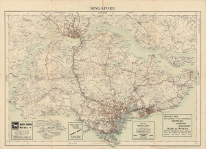
Singapore.
sold
- Digital Map Information
- Suitable for large format printing
- File Size: 28.28 MB
- File Type: ZIP / TIFF
- ICC color profile embedded
- Delivered instantly via download link
A delightful 1936 map of Singapore produced by the Survey Department of the Federated States of Malaya (FMS) that appeared in Willis's Singapore Guide. It depicts the colony in the years just prior to the World War II (1939 - 1945), while the advertisements at bottom give a sense of the preoccupations of the colony's population. (more details)
An incredibly detailed city plan of Singapore.
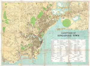
Gazetteer of Singapore Town.
sold
- Digital Map Information
- Suitable for large format printing
- File Size: 26.67 MB
- File Type: ZIP / TIFF
- ICC color profile embedded
- Delivered instantly via download link
This is a 1938 F.M.S. Survey city map or plan of Singapore. The map depicts the city of Singapore from Bukit Timah Road and Telok Blanga Road to the Sea View Hotel and Paya Lebar. Highly detailed, individual buildings are illustrated ... (more details)