
First Japanese Printed Map to show European geographical information with Buddhist world-view.

Nansenbushu Bankoku Shoka No Zu (Outline Map of All Countries of the Universe)
sold
- Digital Map Information
- Suitable for large format printing
- Full resolution TIFF file
- ICC color profile embedded
- Delivered instantly via download link
A seminal map. This is the first Japanese printed map to depict the world, including Europe and America, from a Buddhist cosmographical perspective. Printed by woodblock in 1710 (Hoei 7), this map was composed by the Buddhist monk Rokashi Hotan. Inspired by ... (more details)
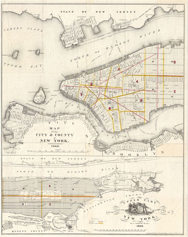
Map of the City & County of New York. Upper Part of the City and County of New York, on a reduced Scale.
sold
- Digital Map Information
- Suitable for large format printing
- Full resolution TIFF file
- ICC color profile embedded
- Delivered instantly via download link
An attractive map of New York City issued in 1860 for Valentine's Manual of the Corporation of New York . Essentially two maps in one. The upper map covers the populous southern part of Manhattan as well as the adjacent parts of Jersey City, Hoboken and ... (more details)
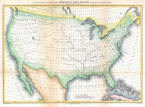
Magnetic Declination Isogonic Lines for the year 1870 (Variations of the Compass)
sold
- Digital Map Information
- Suitable for large format printing
- File Size: 8.11 MB
- File Type: ZIP / TIFF
- ICC color profile embedded
- Delivered instantly via download link
A highly unusual U.S. Coast Survey chart of the United States showing magnetic declination in the year 1870. Magnetic Declination, or as it is more commonly known Magnetic Variance, refers to the difference between true north and compass north. Magnetic ... (more details)
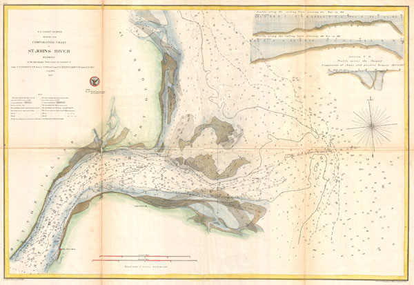
Comparative Chart of St. John's River Florida.
sold
- Digital Map Information
- Suitable for large format printing
- File Size: 10.83 MB
- File Type: ZIP / TIFF
- ICC color profile embedded
- Delivered instantly via download link
An unusual and attractive coastal map produced by the U.S. Coast Survey to chart changes in the St. Johns River (FL) delta between 1853 and 1857. Details a number of sandbars and shoals and records their appearance and disappearance at various different ... (more details)

Sketch A Showing the Primary Triangulation in Section I and the Connection of the Baselines in Sections I andII from 1844 to 1864.
sold
- Digital Map Information
- Suitable for large format printing
- File Size: 10.31 MB
- File Type: ZIP / TIFF
- ICC color profile embedded
- Delivered instantly via download link
An attractive example of the U.S. Coast Survey's 1864 triangulation chart of the New York and New England coastline. Covers from New York City and Long Island to Eastport, Maine. Shows the primary triangulation points used in setting up the survey. ... (more details)

Preliminary Chart of Rappahannock River Virginia From Entrance to Deep Creek.
sold
- Digital Map Information
- Suitable for large format printing
- File Size: 10.91 MB
- File Type: ZIP / TIFF
- ICC color profile embedded
- Delivered instantly via download link
An attractive hand colored 1857 U.S. Coast Survey nautical chart or map of Virginia's Rappahannock River. Covers the course of the Rappahannock River from the Chesapeake Bay to Deep Creek. Offers countless depth soundings and navigational notes, ... (more details)

Port of Providence Rhode Island.
sold
- Digital Map Information
- Suitable for large format printing
- File Size: 8.15 MB
- File Type: ZIP / TIFF
- ICC color profile embedded
- Delivered instantly via download link
An attractive example of the 1865 U.S. Coast Survey map or nautical chart of the Port of Providence. Covers part of Narragansett Bay from Starvegoat Island north to Providence and the mouth of the Seekonk River. Today Starvegoat Island and the ... (more details)

Preliminary Chart of York River Virginia from Entrance to Kings Creek.
sold
- Digital Map Information
- Suitable for large format printing
- File Size: 12.89 MB
- File Type: ZIP / TIFF
- ICC color profile embedded
- Delivered instantly via download link
An attractive hand colored 1857 U.S. Coast Survey nautical chart or map of Virginia's York River. Covers the course of the York River from its entrance at the Chesapeake Bay to King Creek. Offers countless depth soundings, sailing instructions, ... (more details)

Preliminary Chart of Rappahannock River Virginia From Occupacia Creek to Deep Creek.
sold
- Digital Map Information
- Suitable for large format printing
- File Size: 8.86 MB
- File Type: ZIP / TIFF
- ICC color profile embedded
- Delivered instantly via download link
An attractive hand colored 1857 U.S. Coast Survey nautical chart or map of Virginia's Rappahannock River. Covers the course of the Rappahannock River from Occupacia Creek to Deep Creek. Offers countless depth soundings and navigational notes, ... (more details)

G N. 2 U.S. Coast Survey . . . Reconnaissance of Channel No. IV Cedar-Keys Florida.
sold
- Digital Map Information
- Suitable for large format printing
- DPI: 300
- File Size: 2.96 MB
- File Type: ZIP / TIFF
- ICC color profile embedded
- Delivered instantly via download link
This is an important 1852 U.S. Coast Survey mapping of Cedar Key. Following the Seminole Wars, the government pushed for settlement of Florida and increased harvesting of its many natural resources. Cedar Key, situated on the Florida coast ... (more details)
One of the rarest variants of Colton's Arctic map.

Northern Regions.
sold
- Digital Map Information
- Suitable for large format printing
- File Size: 9.01 MB
- File Type: ZIP / TIFF
- ICC color profile embedded
- Delivered instantly via download link
A rarely seen variant state of Colton's map of the North Pole or Arctic. Covers from Lake Baikal, the Hudson Bay, the British Isles and Kamchatka north to the Pole. Generally gives an excellent overview of the state of Arctic exploration and ... (more details)

Beaufort River Station Creek Story and Harbor Rivers Forming Inside Passage Between Port Royal and St. Helena Sounds South Carolina
sold
- Digital Map Information
- Suitable for large format printing
- File Size: 13.52 MB
- File Type: ZIP / TIFF
- ICC color profile embedded
- Delivered instantly via download link
A beautiful example of the 1882 U.S. Coast Survey chart or map of the Beaufort River, South Carolina. Covers from Port Royal Island to Hilton Head and east as far as Skill Inlet on Pritchard Island. Offers stunning inland detail as well ... (more details)

Chesapeake Bay No. 135
sold
- Digital Map Information
- Suitable for large format printing
- File Size: 10.13 MB
- File Type: ZIP / TIFF
- ICC color profile embedded
- Delivered instantly via download link
This is 1895 edition of the U.S. Coast Survey chart of the Chesapeake Bay around Annapolis. Cover the Chesapeake Bay from the Magothy River in the north to the Choptank River in the south and extends east ward as far as Eastern Bay and ... (more details)
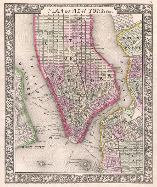
Plan of New York & c.
sold
- Digital Map Information
- Suitable for large format printing
- File Size: 6.79 MB
- File Type: ZIP / TIFF
- ICC color profile embedded
- Delivered instantly via download link
A beautiful example of S. A. Mitchell Junior's 1866 map of New York City, New York. Depicts New York City along with parts of Brooklyn, Williamsburg, Greenpoint, Hoboken and Jersey City. Offers wonderful detail at the street level ... (more details)
The culmination of the U.S. Coast Survey's work around San Francisco.

City of San Francisco and its Vicinity California.
sold
- Digital Map Information
- Suitable for large format printing
- File Size: 27.09 MB
- File Type: ZIP / TIFF
- ICC color profile embedded
- Delivered instantly via download link
A rare coastal chart of San Francisco by the U. S. Coast Survey, 1859. Oriented to the west, this map depicts the immediate city of San Francisco and surrounding areas as far as the Mission de Dolores and Rancho San Miguel. The ... (more details)
An important and fascinating mapping of the American Southeast just prior to the French and Indian War.
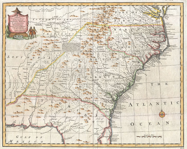
A New and Accurate Map of the Provinces of North and South Carolina etc.
sold
- Digital Map Information
- Suitable for large format printing
- DPI: 300
- File Size: 7.67 MB
- File Type: ZIP / TIFF
- ICC color profile embedded
- Delivered instantly via download link
This is Emmanuel Bowen's remarkable 1747 chart of the southeastern parts of North America. Covers from the mouth of the Chesapeake Bay to St. Augustine, FL, and from Louisiana to the Atlantic. Introduced in the second edition ... (more details)
Rare 17th century map showing the route to El Dorado and one of the first maps to show definate political borders in this region.
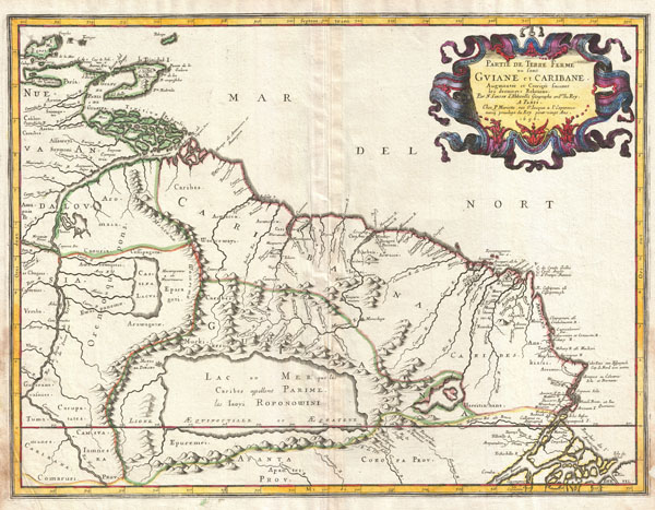
Partie de Terre Ferme ou sont Guiane et Caribane, augmentée et corrigée suivant les dernières relations.
sold
- Digital Map Information
- Suitable for large format printing
- DPI: 300
- File Size: 12.15 MB
- File Type: ZIP / TIFF
- ICC color profile embedded
- Delivered instantly via download link
This is N. Sanson's remarkable 1656 map of the northwestern parts of South America , Lake Parima (Parime), and the route to El Dorado. Cartographically this map is loosely based upon cartographic conventions established by De ... (more details)
Rare 17th century map showing the route to El Dorado.
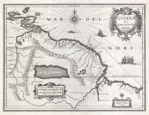
Gviana siue Amazonvm Regio.
sold
- Digital Map Information
- Suitable for large format printing
- Full resolution TIFF file
- ICC color profile embedded
- Delivered instantly via download link
This is G. Blaeu's remarkable c. 1635 map of the northwestern parts of South America , Lake Parima (Parime Lacus), and the route to El Dorado. Blaeu initially issued this map in 1630 and variants were published well in to ... (more details)
Beautifuly engraved 1807 French map of Boston, Massachusetts.
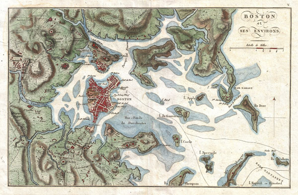
Boston et ses Environs.
sold
- Digital Map Information
- Suitable for large format printing
- DPI: 300
- File Size: 5.73 MB
- File Type: ZIP / TIFF
- ICC color profile embedded
- Delivered instantly via download link
A beautiful 1807 map of Boston and its immediate vicinity drawn by J. N. Buache for inclusion in the 1807 French edition of Marshall's Life of Washington . Covers the Boston area from Brookline and Cambridge to the ... (more details)
Stunning and rare case map of Ireland.
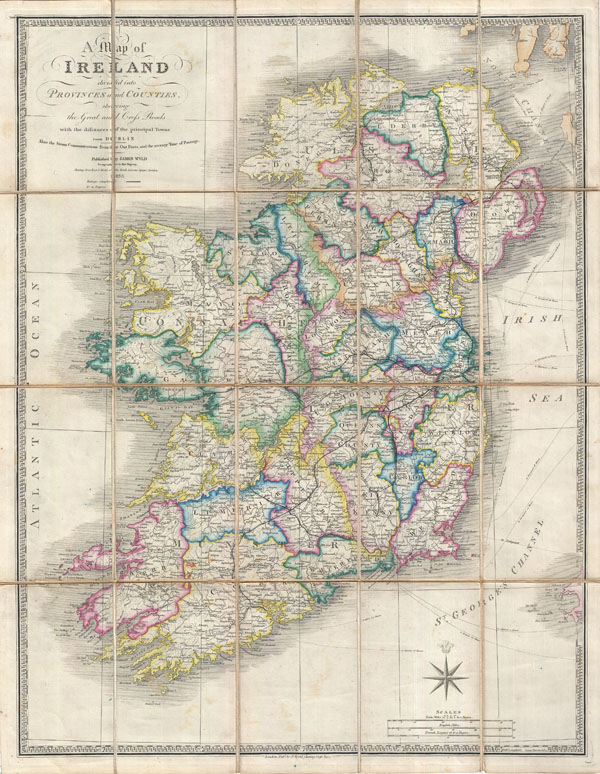
A Map of Ireland divided into Provinces and Counties shewing the Great and Cross Roads with distances of the principal Towns from Dublin. Also the Steam Communications from the Out Ports, and the average Time of Passage.
sold
- Digital Map Information
- Suitable for large format printing
- DPI: 300
- File Size: 24.21 MB
- File Type: ZIP / TIFF
- ICC color profile embedded
- Delivered instantly via download link
A stunning example of James Wyld's 1853 case map of Ireland. Covers the entirety of Ireland as well as the major nautical and ferry routes between Ireland, England and Scotland. Divided and color coded into provinces ... (more details)