
Beautiful map of northwest Arabia depicting the journey of Charles M. Doughty.

A Sketch Map Itinerarium of part of North Western Arabia and Negd.
sold
- Digital Map Information
- Suitable for large format printing
- File Size: 12.81 MB
- File Type: ZIP / TIFF
- ICC color profile embedded
- Delivered instantly via download link
This is an interesting 1883 map of northwestern Arabia or modern day Saudi Arabia by Charles M. Doughty. It covers from Mecca (Medina) north to Eilat including the Gulf of Aqaba and inland as far as Buraydah. Throughout, the map notes important towns, geology, ... (more details)
Plan of the city of Seattle, Washington - Where to go, What to see, How to get there.

Map of Seattle.
sold
- Digital Map Information
- Suitable for large format printing
- Full resolution TIFF file
- ICC color profile embedded
- Delivered instantly via download link
This is a detailed city plan of Seattle dating to 1948. The map, drawn by Irving M. Smith covers the city of Seattle from 98th street south to SW 132nd street. Notes individual streets, parks, golf courses, lakes, bridges, playgrounds, rivers and harbor and ... (more details)
17th century map of Calabria, Italy.

Calabria citra olim Magna Graecia.
sold
- Digital Map Information
- Suitable for large format printing
- Full resolution TIFF file
- ICC color profile embedded
- Delivered instantly via download link
This is a scarce c.1620 map of the northern part of Calabria in southern Italy by Henricus Hondius. It covers from Policastro Bussentino south to Capo Colonna. The entire map is depicted in extraordinary detail, offering both topographical and political ... (more details)
Beautiful map depicting the flow of the Northern Dwina River in Russia.
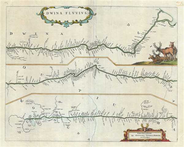
Dwina Fluvius.
sold
- Digital Map Information
- Suitable for large format printing
- Full resolution TIFF file
- ICC color profile embedded
- Delivered instantly via download link
This is a beautiful 1721 map of the Northern Dvina River in northern Russia by Frederik De Wit. The map is divided into three sections to follow the course of the river from its source in the Vologod Province as it empties into Dvina Bay of the White Sea ... (more details)
Covers the wine and cheese producing regions of Guyenne in southwest France.
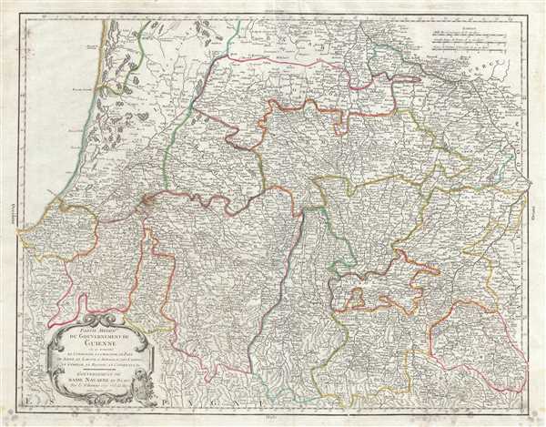
Partie Meridile. du Gouvernement de Guienne ou se trouvent le Condomois, la Chalosse, le Pays de Soule, le Labour, l'Armagnac, Les Landes, le Cominge, le Bigorre, le Conserans, &c. Gouvernement de Basse Navarre et Bearn.
sold
- Digital Map Information
- Suitable for large format printing
- Full resolution TIFF file
- ICC color profile embedded
- Delivered instantly via download link
This is a scarce 1753 map of the southern Guyenne region of France by Robert de Vaugondy. It covers the south western portions of France including the departments of Hautes-Pyrenees, Pyrenees-Atlantiques or Basses-Pyrenees, Landes, Gers and ... (more details)
Beautiful map of Bohemia.

Le Royaume de Boheme, le Duche de Silesie, et les Marquisats de Moravie et Lusace, dresses d'apres les cartes de Muller.
sold
- Digital Map Information
- Suitable for large format printing
- Full resolution TIFF file
- ICC color profile embedded
- Delivered instantly via download link
This is a fine 1751 map of Bohemia, Moravia and Silesia by Robert de Vaugondy. It covers modern day Czech Republic as well as parts of Germany and Poland and extends from Leipzig, Germany east to Beuthen, Poland and from Miloslaw south as ... (more details)
Map depicting Italy before its unification.

L'Italie qui comprend les Etats de Piemont, les Duches de Milan, de Parme, de Modene, de Mantoue etc., les Republiques de Genes, de Venise, de Luques etc., le Grand Duche de Toscane, l'Etat du Saint-Siege, le Royaume de Naples, et les Isles de Corse, de Sardaigne, et de Sicile.
sold
- Digital Map Information
- Suitable for large format printing
- Full resolution TIFF file
- ICC color profile embedded
- Delivered instantly via download link
This is a scarce 1750 map of Italy by Robert de Vaugondy. It covers from Switzerland south to include all of Sicily. Sardinia and Corsica are also included. The map renders the entire region in extraordinary detail offering both ... (more details)
A beautiful map of the southern parts of Greece during antiquity.
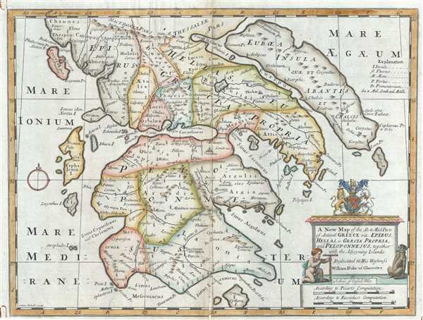
A New Map of the So. and Mid. Parts of Antient Greece viz. Epirus, Hellas, or Graecia Propria, and Peloponnesus, together with the Adjoyning Islands.
sold
- Digital Map Information
- Suitable for large format printing
- Full resolution TIFF file
- ICC color profile embedded
- Delivered instantly via download link
This is an attractive 1712 map of Ancient Greece by Edward Wells of Oxford. It covers southern Ancient Greece including the Peloponnesus, Cythera, Euboea and several other Greek Islands. Identifies various important cites from ... (more details)
A speculative early 18th century perspective on Africa.

A New Map of Africk Shewing its Present General Divisions Chief Cities or Towns, Rivers, Mountains etc.
sold
- Digital Map Information
- Suitable for large format printing
- Full resolution TIFF file
- ICC color profile embedded
- Delivered instantly via download link
This is a beautiful 1712 map of Africa by Edward Wells of Oxford. It covers the continent of Africa from an early 18th century perspective. The overall composition stresses the fact that, while the coasts of Africa had been ... (more details)
A scarce nautical chart of Vineyard Haven, Martha's Vineyard.

Harbor of Refuge No. The Harbor of Holmes' Hole.
sold
- Digital Map Information
- Suitable for large format printing
- Full resolution TIFF file
- ICC color profile embedded
- Delivered instantly via download link
This is a rare example of the 1847 U.S. Coast Survey nautical chart or map of Holmes' Hole (Vineyard Haven), Martha's Vineyard, Massachusetts. Focusing on the town of Holmes' Hole, today's Vineyard Haven, this map covers ... (more details)
Chart of the Farallones, off the Coast of San Francisco.

(J. No. 5) Sketch of South Farallon Island Pacific Ocean.
sold
- Digital Map Information
- Suitable for large format printing
- File Size: 4.44 MB
- File Type: ZIP / TIFF
- ICC color profile embedded
- Delivered instantly via download link
An uncommon 1855 U. S. Coast Survey map of South Farallon Island, California. The Farallon Islands are a group of islands and sea stacks in the Gulf of the Farallones, off the coast of San Francisco, California, USA. ... (more details)
Beautiful map of the northern part of Hempstead, Long Island.
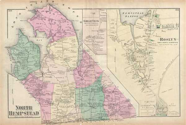
North Hempstead.
sold
- Digital Map Information
- Suitable for large format printing
- File Size: 12.67 MB
- File Type: ZIP / TIFF
- ICC color profile embedded
- Delivered instantly via download link
A scarce example of Fredrick W. Beers' map of North Hempstead, Port Washington and Roslyn, New York published in 1873. Covers roughly from Little Neck Bay and Great Neck eastward past Manhasset to New Cassel. ... (more details)
Beer's plan of Flatbush in Brooklyn, New York City.

Flatbush Town of Flatbush Kings Co. L.I.
sold
- Digital Map Information
- Suitable for large format printing
- File Size: 10.07 MB
- File Type: ZIP / TIFF
- ICC color profile embedded
- Delivered instantly via download link
A scarce example of Fredrick W. Beers' map of the Flatbush area of Brooklyn, New York published in 1873. Oriented to the west, covers roughly from modern day Regent Place northward as far as the southeast ... (more details)
Beers' map depicting Huntington, Long Island.
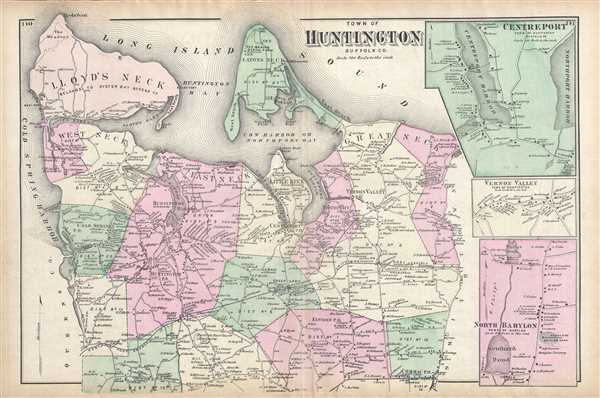
Town of Huntington, Suffolk Co.
sold
- Digital Map Information
- Suitable for large format printing
- File Size: 13.11 MB
- File Type: ZIP / TIFF
- ICC color profile embedded
- Delivered instantly via download link
A scarce example of Fredrick W. Beers' map of Huntington, Long Island, New York published in 1873. It covers the Huntington area from Cold Spring Harbor eastward past West Neck, East Neck, Huntington ... (more details)
Beautiful map of Brookhaven, Long Island.
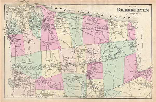
Part of Brookhaven, Suffolk Co. L.I.
sold
- Digital Map Information
- Suitable for large format printing
- File Size: 11.54 MB
- File Type: ZIP / TIFF
- ICC color profile embedded
- Delivered instantly via download link
This is a scarce 1873 example of Fredrick W. Beers' map of the northern part of Brookhaven, Long Island, New York. Covers roughly from Smithtown Bay and Cranes Neck eastward as far as Manorville and ... (more details)
Scarce map of Babylon, Long Island.
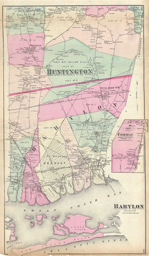
Babylon Suffolk Co. / Half Way Hollow Hills, Part of Huntington.
sold
- Digital Map Information
- Suitable for large format printing
- File Size: 12.89 MB
- File Type: ZIP / TIFF
- ICC color profile embedded
- Delivered instantly via download link
A scarce example of Fredrick W. Beers' map of the southern part of Huntington and Babylon, Long Island, New York. Published in 1873, this magnificent map covers from Amityville to Babylon Cove. ... (more details)
Beers' map of Flushing in Queens, New York City.

Part of Flushing. Town of Flushing, Queens Co.
sold
- Digital Map Information
- Suitable for large format printing
- File Size: 15.11 MB
- File Type: ZIP / TIFF
- ICC color profile embedded
- Delivered instantly via download link
A scarce example of Fredrick W. Beers' map parts of Flushing, Queens, New York City published in 1873. Oriented to the east, roughly includes Orchard Street, Myrtle Avenue, Bradford Avenue, ... (more details)
Beers' two panel map depicting Stony Brook and Port Jefferson in Long Island, NY.
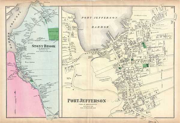
Port Jefferson, Town of Brookhaven, Suffolk Co. / Stony Brook, Town of Brookhaven, Suffolk, Co.
sold
- Digital Map Information
- Suitable for large format printing
- File Size: 9.55 MB
- File Type: ZIP / TIFF
- ICC color profile embedded
- Delivered instantly via download link
A scarce 1873 example of Fredrick W. Beers' map of Port Jefferson and Stony Brook, Long Island, New York. Essentially two maps on a single sheet, the left hand side of the maps depicts the ... (more details)
Map of Glen Cove in Queens, New york City.

Glen Cove, Town of Oyster Bay, Queens Co.
sold
- Digital Map Information
- Suitable for large format printing
- File Size: 11.78 MB
- File Type: ZIP / TIFF
- ICC color profile embedded
- Delivered instantly via download link
A scarce example of Fredrick W. Beers' map parts of Glen Cove, Queens, New York City published in 1873. It detailed to the level of individual properties and buildings with landowners ... (more details)
Scarce map of Sea Cliff Grove, Long Island.
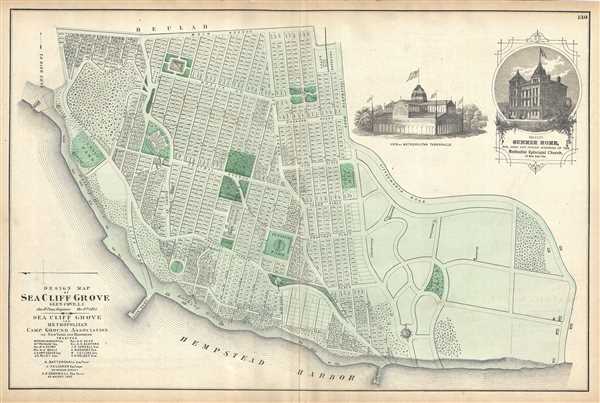
Design Map of Sea Cliff Grove, Glen Cove, L.I.
sold
- Digital Map Information
- Suitable for large format printing
- File Size: 12.92 MB
- File Type: ZIP / TIFF
- ICC color profile embedded
- Delivered instantly via download link
A scarce example of Fredrick W. Beers' map of the Sea Cliff Grove, Long Island, New York, published in 1873. Sea Cliff Grove, named for the bluff on which it is situated, was founded ... (more details)