
Robert de Vaugondy (Gilles Robert de Vaugondy, Didier Robert de Vaugondy)

Robert de Vaugondy (fl. c. 1716 - 1786) was a French publishing firm run by Gilles (1688 - 1766) and Didier (c. 1723 - 1786) Robert de Vaugondy. They were map publishers, engravers, and cartographers active in Paris during the mid-18th century. Gilles was the nephew of Pierre Moulard Sanson, and was thus the inheritor of Nicolas Sanson (1600 - 1667), whose stock supplied much of their initial material and whose legacy supplied much of their initial reputation. Graduating from Sanson's maps, Gilles, and more particularly Didier, began to produce their own substantial corpus. The Vaugondys were well-respected for the detail and accuracy of their maps, for which they capitalized on the resources of 18th-century Paris to compile the most accurate and fantasy-free maps possible. The Vaugondys compiled each map based on their own geographic knowledge, scholarly research, journals of contemporary explorers and missionaries, and direct astronomical observation. Moreover, unlike many cartographers of this period, they took pains to reference their sources. Nevertheless, even in 18th-century Paris, geographical knowledge was limited - especially regarding those unexplored portions of the world, including the poles, the Pacific Northwest of America, and the interiors of Africa, Australia, and South America. This gap in knowledge let to divergent geographical approaches, epitomized by the Buache-Vaugondy debates at the French Academie des Sciences - one of the key pivotal moments in the history of modern cartography. Buache, in his Exposé, argued for a Theoretical Geography, which postulated that a systematic and scientific approach could accurately fill in the map in advance of actual exploration. Vaugondy's scathing critique of the Exposé, presented as the Considerations, argued for empirical restraint in cartography, suggesting that unexplored areas should simply be left blank and that mapping itself should rely on documentable current discovery. While Bucahe, with more political acumen and connections, initially came out ahead in the debates, the subsequent decades saw voyages of discovery by Captains James Cook, Jean Francois de Galaup de La Perouse, and George Vancouver disprove most of his map. Nonetheless, by that time, Vaugondy, advanced in age, did not live long enough to see his approach become ascendant. Didier died more celebrated than solvent, and his maps were acquired by Jean-Baptiste Fortin, who in 1787 sold them to Charles-François Delamarche (1740 - 1817). Delamarche, more businessman than cartographer, prospered from the Vaugondy maps, but defrauded Vaugondy's widow, Marie Louise Rosalie Dangy, of her rightful inheritance and may even have killed her.
Robert de Vaugondy is also known as: Gilles Robert de Vaugondy, Didier Robert de Vaugondy
Sanson Family Map of the World, Updated. Rare Edition.
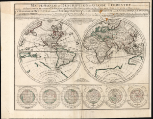
Mappe-Monde ou Description du Globe Terrrestre vû en Concave ou en creux en Deux Hemispheres ou l'on trouve en General le Rapport que toutes ses Parties ont avec les Cieux, entr' Elles, et avec l'Histoire...
$3,500.00
Acquire
- Digital Map Information
- Suitable for large format printing
- Full resolution TIFF file
- ICC color profile embedded
- Delivered instantly via download link
This is Pierre Moullart-Sanson's map of the world, in its c. 1730 edition published by Gilles Robert de Vaugondy. Moullard-Sanson's 17th-century geography and elegant engraving are largely unchanged, with the notable correction to California noted below. (more details)
Includes the Archbishopric of Salzburg.
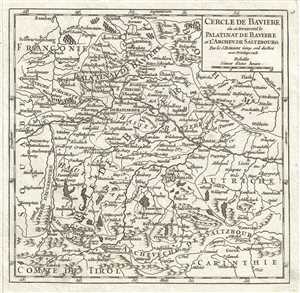
Cercle De Baviere ou se trouvent le Palatinat de Baviere et l'Archev. de Saltzbourg.
$100.00
Acquire
- Digital Map Information
- Suitable for large format printing
- DPI: 300
- File Size: 1.86 MB
- File Type: ZIP / TIFF
- ICC color profile embedded
- Delivered instantly via download link
This is a beautiful 1748 map of the Bavaria, in the southeast part of Germany by Robert de Vaugondy. It includes the Archbishopric of Saltzburg, and the Electorate of Bavaria and extends from Bamberg southto Innsbruck and east as far as Linz. Rivers, roads, lakes ... (more details)
Early detailed map of France.
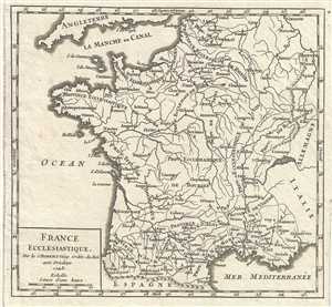
France Ecclesiastique.
$100.00
Acquire
- Digital Map Information
- Suitable for large format printing
- DPI: 300
- File Size: 1.69 MB
- File Type: ZIP / TIFF
- ICC color profile embedded
- Delivered instantly via download link
This is a lovely 1748 map of France by the French cartographer Robert de Vaugondy. It depicts the country in beautiful detailed, the map notes provinces, cities, towns, rivers, mountains and a host of additional topographical features. This map was published in ... (more details)
Notes the Habsburg hereditary lands south of the Semmering Pass.
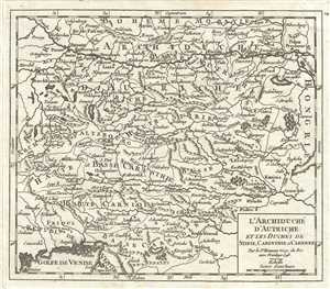
l'Archiduche d'Autriche et les Duches de Stirie, Carinthie et Carniole.
$100.00
Acquire
- Digital Map Information
- Suitable for large format printing
- DPI: 300
- File Size: 2.18 MB
- File Type: ZIP / TIFF
- ICC color profile embedded
- Delivered instantly via download link
This is a nice 1748 map of Inner Austria or the duchies of Styria, Carinthia and Carniola by Robert de Vaugondy. Covers parts of modern day Austria, Hungary and Slovenia and extends from Passau in Germany south to the Gulf of Vienna and from Salzburg east to ... (more details)
Includes parts of Lithuania.
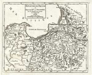
Royaume de Prusse et Prusse Rle. ou Polonoise.
$100.00
Acquire
- Digital Map Information
- Suitable for large format printing
- DPI: 300
- File Size: 2.05 MB
- File Type: ZIP / TIFF
- ICC color profile embedded
- Delivered instantly via download link
This is a beautiful 1748 map of Prussia by Robert de Vaugondy. It covers the northeastern part of Poland and extends from Grodno and the Spirding-See in Poland north to Klaipeda in Lithuania and west as far as Leba and depicts the Holy Roman Empire Circles ... (more details)
Map of Spain depicting Cadiz, the oldest continuously inhabited city in Spain.
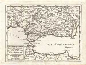
Partie Meridionale des Etats de Castille, où se trouvent l'Andalousie et le Royaume de Grenade. Par le Sr. Robert de Vaugondy, fils de Mr. Robert Géog. du Roi.
$180.00
Acquire
- Digital Map Information
- Suitable for large format printing
- DPI: 300
- File Size: 1.89 MB
- File Type: ZIP / TIFF
- ICC color profile embedded
- Delivered instantly via download link
This is a 1749 Vaugondy map of southern Spain and Morocco. The map depicts from the Portuguese border to Murcia and from the border between Andalusia and La Mancha to the Mediterranean coast of Morocco. Andalusia is almost completely illustrated and the ... (more details)
Gorgeous hand colored map of Asia depicting Peking and Nanking.
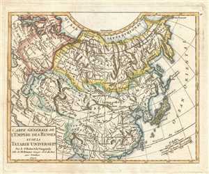
Carte Générale de l'Empire des Russes et de la Tartarie Universelle. Par le Sr. Robert de Vaugondy Fils de M. Robert Geogr. ord. du Roi.
$200.00
Acquire
- Digital Map Information
- Suitable for large format printing
- DPI: 300
- File Size: 2.16 MB
- File Type: ZIP / TIFF
- ICC color profile embedded
- Delivered instantly via download link
This is a hand colored 1749 Didier Robert de Vaugondy map of Asia. The map depicts from Poland and Scandinavia to Kamchatka, Japan, and the Pacific Ocean and from the Arctic Ocean and Nova Zemba (labeled as Nouvelle Zemle) to Persia and southern China. ... (more details)
Map of Spain depicting Madrid, Toledo, and La Mancha, where Don Quixote takes place.
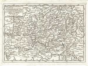
Partie Meridionale des Etats de Castille, où se trouvent l'Estremadure-de-Leon et La Castille Nouvelle. Par le Sr. Robert de Vaugondy, fils de Mr. Robert Geogr. du Roi.
$180.00
Acquire
- Digital Map Information
- Suitable for large format printing
- DPI: 300
- File Size: 2.06 MB
- File Type: ZIP / TIFF
- ICC color profile embedded
- Delivered instantly via download link
This is a 1749 Vaugondy map of southern Spain, including the autonomous communities of Castilla-La Mancha and Madrid. The map depicts from Salamanca to northern Andalusia and Murcia and from the Portuguese border to eastern Castile and Murcia . The ... (more details)
Known for its fine Riesling wines.
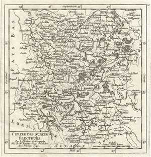
Cercle des Quatre Electeurs.
$100.00
Acquire
- Digital Map Information
- Suitable for large format printing
- DPI: 300
- File Size: 1.83 MB
- File Type: ZIP / TIFF
- ICC color profile embedded
- Delivered instantly via download link
This is a nice 1749 map of the Upper Rhine and Lower Rhine regions in western Germany by Robert de Vaugondy. It covers from Speyer north to Waldeck and from Juliers east as far as Fulda. The cities of Frankfurt, Cologne, Mainz, and Dusseldorf are ... (more details)
Historic district of Franconia.
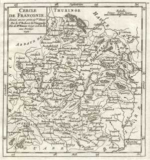
Cercle de Franconie, divise en ses principux. Etats.
$100.00
Acquire
- Digital Map Information
- Suitable for large format printing
- DPI: 300
- File Size: 1.75 MB
- File Type: ZIP / TIFF
- ICC color profile embedded
- Delivered instantly via download link
This is a lovely 1749 map of the Circle of Franconia, Germany, by Robert de Vaugondy. Centered on Bamberg, it covers from Heneberg south to Aichstet and from Reineck east to Egra. Today Franconia is a historic district and has been consolidated ... (more details)
Splendid hand colored map of Guyana depicting the mythical Lake Cassipa and the Amazon River.
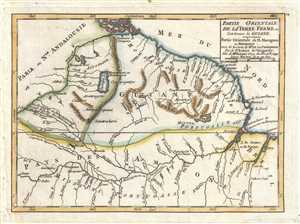
Partie Orientale de la Terre Ferme ou l'on trouve la Guiane. Partie Orientale du Fl. Maragnon ou Amazone tirée de la carte de Mr. de la Condamine. Par le Sr. Robert de Vaugondy, Fils de Mr. Robert Geog. du Roi.
$150.00
Acquire
- Digital Map Information
- Suitable for large format printing
- DPI: 300
- File Size: 1.54 MB
- File Type: ZIP / TIFF
- ICC color profile embedded
- Delivered instantly via download link
This is a hand colored 1749 Didier Robert de Vaugondy map of Guyana, Suriname, French Guiana, and Brazil. The map stretches from Venezuela to Brazil and from the Caribbean Sea to the Amazon. The Province of Tierra Firme ( Terre Ferme ) were the ... (more details)
Superb hand colored map of northern Canada depicting Nouvelle-Bretagne.
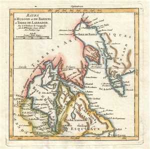
Bayes d'Hudson et de Baffins, et Terre de Labrador. Par le Sr. Robert de Vaugondy fils de Mr. Robert Geogr. du Roi.
$200.00
Acquire
- Digital Map Information
- Suitable for large format printing
- DPI: 300
- File Size: 1.42 MB
- File Type: ZIP / TIFF
- ICC color profile embedded
- Delivered instantly via download link
This is a hand colored 1749 Didier Robert de Vaugondy map of northern Canada. The map depicts from Canada and Hudson Bay to the Atlantic Ocean and Greenland and from Baffin Bay and the Arctic ( Terres Arctiques ) to eastern Canada, Labrador, ... (more details)
Includes Berlin Lubeck, Hamburg, Hanover, and Bremen.
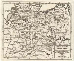
Cercle de la Basse Saxe, divisee par ses Principautes.
$100.00
Acquire
- Digital Map Information
- Suitable for large format printing
- DPI: 300
- File Size: 2.13 MB
- File Type: ZIP / TIFF
- ICC color profile embedded
- Delivered instantly via download link
This is a fine 1749 map of Lower Saxony, in what is now Central Germany by Robert de Vaugondy. As shown here, Lower Saxony was bordered by Denmark and the Baltic Sea to the north, Westphalia to the west, Pomerania to the Northeast, and the ... (more details)
Uncommon map Martinique, a West Indian paradise.
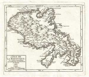
L'Isle de la Martinique. Par le Sr. Robert de Vaugondy, Fils de Mr. Robert Geogr. ord. du Roi.
$175.00
Acquire
- Digital Map Information
- Suitable for large format printing
- DPI: 300
- File Size: 1.43 MB
- File Type: ZIP / TIFF
- ICC color profile embedded
- Delivered instantly via download link
This is a 1749 Didier Robert de Vaugondy map of the island of Martinique. The map depicts the island from Trinity Bay ( Baye de la Trinité ) to the Gul de Sac Marin and from La Basse Terre to La Cabes Terre . Today, Martinique is a ... (more details)
Map of North Africa including Algiers, Tunis, Tripoli, and Cairo.
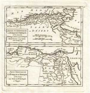
Partie Occidentale de la Turquie d'Afrique où l'on trouve les Royaumes d'Alger, de Tunis et partie de Tripoli. Par le Sr. Robert Geog. du Roi / Partie Orientale de la Turquie d'Afrique où l'on trouve une partie du Royaume de Tripoli et l'Egypte.
$175.00
Acquire
- Digital Map Information
- Suitable for large format printing
- DPI: 300
- File Size: 1.48 MB
- File Type: ZIP / TIFF
- ICC color profile embedded
- Delivered instantly via download link
This is a pair of 1749 Gilles Robert de Vaugondy maps of North Africa. Both maps depict the African parts of the Ottoman Empire. The map at the top of the page stretches from Morocco (Royaume de Fez) to Libya (Royaume de Tripoli) and ... (more details)
Map of Peru, Ecuador, and Brazil depicting the Marañón River, the principal source of the Amazon.
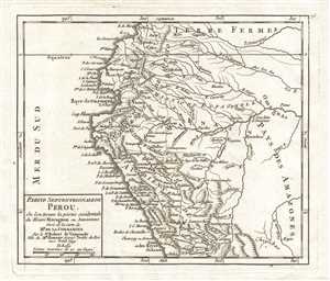
Partie Septentrionale du Perou, où l'on trouve la partie occidentale du Fleuve Maragnon ou Amazone tirée de la Carte de Mr. de la Condamine. Par le Sr. Robert de Vaugondy, Fils de Mr. Robert Geogr. ordin. du Roi
$175.00
Acquire
- Digital Map Information
- Suitable for large format printing
- DPI: 300
- File Size: 1.62 MB
- File Type: ZIP / TIFF
- ICC color profile embedded
- Delivered instantly via download link
This is a 1749 Didier Robert de Vaugondy map of northern Peru (Perou), Ecuador, Brazil, and Colombia. Depicting from Colombia to just south of Lima and from the Pacific Ocean to Brazil, the map centers on the Marañón (Maragnon) ... (more details)
Map of northern Portugal depicting Porto, the second largest city in Portugal.
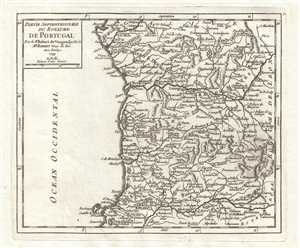
Partie Septentrionale du Royaume de Portugal. Par le Sr. Robert de Vaugondy, fils de Mr. Robert Geog. Du Roi.
$180.00
Acquire
- Digital Map Information
- Suitable for large format printing
- DPI: 300
- File Size: 1.77 MB
- File Type: ZIP / TIFF
- ICC color profile embedded
- Delivered instantly via download link
This is a 1749 Vaugondy map of northern Portugal. The map depicts from the Portuguese border with Galicia to Estremadura and from the Atlantic Ocean (Ocean Occidental) to the border between Portugal and the Kingdom of Leon ... (more details)
Northeast Germany and Northwest Poland.
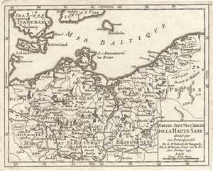
Partie Septle. du Cercle de la Haute Saxe divisee par ses Principautes.
$100.00
Acquire
- Digital Map Information
- Suitable for large format printing
- DPI: 300
- File Size: 2.36 MB
- File Type: ZIP / TIFF
- ICC color profile embedded
- Delivered instantly via download link
This is a beautiful 1749 map of the northern portion of Upper Saxony, in what is now Northeast Germany and Northwest Poland, by Robert de Vaugondy. In includes the Duchy of Pomerania and Brandenburg. The entire region is ... (more details)
Map of southern Portugal depicting Lisbon and the Algarve, Portugal's most visited region.
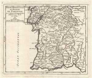
Partie Meridionale du Royaume de Portugal. Par le S. Robert de Vaugondy Fils de Mr. Robert, Geog. du Roi.
$180.00
Acquire
- Digital Map Information
- Suitable for large format printing
- DPI: 300
- File Size: 1.62 MB
- File Type: ZIP / TIFF
- ICC color profile embedded
- Delivered instantly via download link
This is a 1749 Vaugondy map of southern Portugal, including Lisbon (Lisbonne). The map depicts from Tagus (Tajo) River to the Atlantic Ocean and from the Atlantic Ocean to Castile and Andalousia in Spain. The Algarve ... (more details)
Early map of northeast Germany.
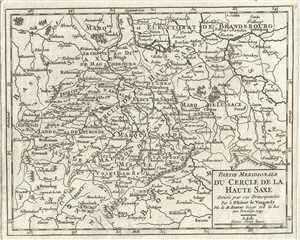
Partie Meridionale du Cercle de la Haute Saxe divisee par ses Principautes.
$100.00
Acquire
- Digital Map Information
- Suitable for large format printing
- DPI: 300
- File Size: 1.97 MB
- File Type: ZIP / TIFF
- ICC color profile embedded
- Delivered instantly via download link
This is a beautiful 1749 map of the northern portion of Upper Saxony, in what is now Northeast Germany and Northwest Poland, by Robert de Vaugondy. In includes the Duchy of Pomerania and Brandenburg and extends from ... (more details)
18th century map depicting the Imperial Circles of the Holy Roman Empire.
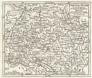
Cercle de Souabe ou sont distingues les Enclaves de la Maison d'Autriche.
$100.00
Acquire
- Digital Map Information
- Suitable for large format printing
- DPI: 300
- File Size: 2.12 MB
- File Type: ZIP / TIFF
- ICC color profile embedded
- Delivered instantly via download link
This is an attractive 1749 map of Swabia, Germany by Robert de Vaugondy. It covers the southwestern parts of Germany along with parts of Switzerland. The map extends from Zurich in Switzerland north to Speyer in ... (more details)
Depicts both Newfoundland and Cape Breton Island!
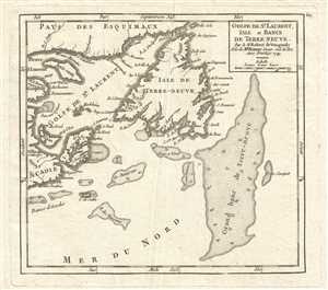
Golfe de St. Laurent, Isle et Bancs de Terre Neuve. Par le Sr. Robert de Vaugondy, Fils de Mr. Robert, Geogr. ord. du. Roi.
$175.00
Acquire
- Digital Map Information
- Suitable for large format printing
- DPI: 300
- File Size: 1.53 MB
- File Type: ZIP / TIFF
- ICC color profile embedded
- Delivered instantly via download link
This is a 1749 Didier Robert de Vaugondy map of the Gulf of Saint Lawrence and Newfoundland ( Isle de Terre-Neuve ). The map depicts from the Saint Lawrence River ( Fleuve S. Laurent ), Quebec ( Pays des ... (more details)
Depicts the length of the Senegal River in three maps on one sheet.
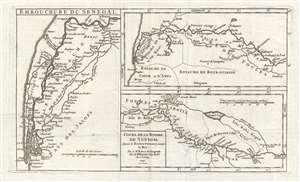
Cours de la Riviere de Senegal depuis le Rocher Gouinea jusqu'a la Mer. Par le Sr. Robert de Vaugondy Fils de Mr. Robert Géog. du Roi.
$200.00
Acquire
- Digital Map Information
- Suitable for large format printing
- DPI: 300
- File Size: 2.29 MB
- File Type: ZIP / TIFF
- ICC color profile embedded
- Delivered instantly via download link
This is a 1749 Didier Robert de Vaugondy map of Senegal and the Senegal River. The map depicts course of the Senegal River (in three maps printed on one sheet) from the Rocher Gouinea (a waterfall) to ... (more details)
Africa's Slave Coast.
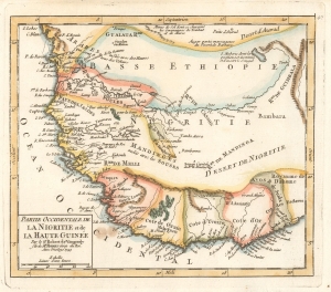
Partie Occidentale de la Nigritie et de la Haute Guinée par le Sr. Robert de Vaugondy fils de Mr. Robert Géog. du Roi.
$200.00
Acquire
- Digital Map Information
- Suitable for large format printing
- File Size: 2.61 MB
- File Type: ZIP / TIFF
- ICC color profile embedded
- Delivered instantly via download link
This is a 1749 Didier Robert de Vaugondy map of western Africa. This map combines the names of African kingdoms (or at least French transliterations of them) with those used by Europeans for parts of the region. Between the 15th and 19th centuries, this region of Africa was the locus of the Atlantic Slave Trade, where millions of Africans were kidnapped and sold into slavery in Brazil, the Caribbean, Mexico, and the modern-day United States. (more details)
18th century map of Westphalia, Germany.
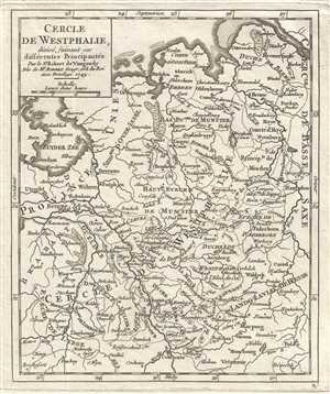
Cercle de Westphalie, divise suivant ses differentes Principautes.
$100.00
Acquire
- Digital Map Information
- Suitable for large format printing
- DPI: 300
- File Size: 2.04 MB
- File Type: ZIP / TIFF
- ICC color profile embedded
- Delivered instantly via download link
This is an appealing 1749 map of Westphalia, Germany by the French cartographer Robert de Vaugondy. Extends from the Elbe south to Kolbenz. The entire region is depicted in extraordinary detailed, ... (more details)
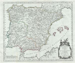
Hispania Antiqua in tres praecipuas partes, scilicet Tarraconensem, Lusitaniam, et Baeticam; nec non in Populos divisa.
$250.00
Acquire
- Digital Map Information
- Suitable for large format printing
- Full resolution TIFF file
- ICC color profile embedded
- Delivered instantly via download link
This is a beautiful 1750 map of Ancient Spain and Portugal by Robert de Vaugondy. It depicts the Iberian Peninsula under the Roman Empire and covers from the Atlantic Ocean to the Mediterranean ... (more details)
Identifies the conquests of Genghis Khan.
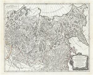
Partie Orientale de l'Empire de Russie en Asie, ou se trouvent les Provinces de Jakuckskoy, Nerckzinskoy, Selinginskoy, Ilimskoy, Krasnojarskoy, Narimskoy, Jenisseiskoy, Mangajeiskoy etc. et les Confins de la Tatarie Chinoise, Dressee, d'apres les Cartes de l'Atlas Russien.
$400.00
Acquire
- Digital Map Information
- Suitable for large format printing
- Full resolution TIFF file
- ICC color profile embedded
- Delivered instantly via download link
This is a beautiful example of Robert de Vaugondy's map of the Russian Empire or Eastern Russia. It map extends from the Kara Sea and the Province of Narimskoy in Siberia east as far as ... (more details)
Early map of northeast Italy during the decline of the Republic of Venice.
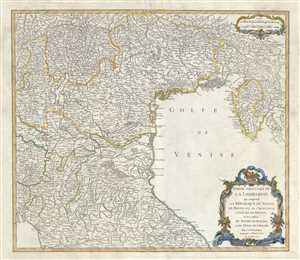
Partie Orientale de la Lombardie qui comprend la Republique de Venise, le Mantouan, le Cremonese, l'Eveche de Trente, et les confins du Duche de Toscane, et de l'Etat de l'Eglise.
$350.00
Acquire
- Digital Map Information
- Suitable for large format printing
- Full resolution TIFF file
- ICC color profile embedded
- Delivered instantly via download link
This is an attractive 1750 map of northeastern Italy by Robert de Vaugondy. It covers from Tyrol south past Tuscany and Florence to Pisa and east as far as the Kvarner Gulf. The map ... (more details)
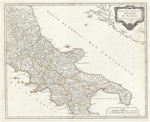
Partie Septentrionale du Royaume de Naples.
$300.00
Acquire
- Digital Map Information
- Suitable for large format printing
- Full resolution TIFF file
- ICC color profile embedded
- Delivered instantly via download link
This is an attractive 1750 map of southern Italy by Robert de Vaugondy. It covers the northern regions of the territories claimed by the Kingdom of Naples and extends from Rossano ... (more details)
Gorgeous old color Vaugondy map of Belgium and Luxembourg.
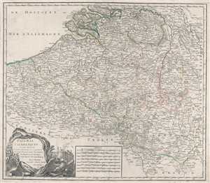
Pays-Bas Catholiques où sont distinguées les Limites de la France qui comprennent le Comté d'Artois, partie des Comtés de Glandre et de Haynaut, et du Duché de Luxembourg. Par Sr. Robert Geographe ordinaire du Roy. Avec Privilege.
$200.00
Acquire
- Digital Map Information
- Suitable for large format printing
- DPI: 300
- File Size: 13.76 MB
- File Type: ZIP / TIFF
- ICC color profile embedded
- Delivered instantly via download link
This is a beautiful old color 1751 Gilles Robert de Vaugondy map of Belgium and Luxembourg. The map is centered on modern-day Belgium and includes Luxembourg, as well as ... (more details)
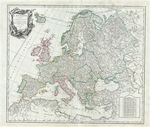
L'Europe divisee en ses principaux Etats.
$350.00
Acquire
- Digital Map Information
- Suitable for large format printing
- Full resolution TIFF file
- ICC color profile embedded
- Delivered instantly via download link
This is a beautiful 1751 map of Europe by Robert de Vaugondy. It covers from the Norway south to the Mediterranean Sea and from Portugal east as far as the Ural ... (more details)
Early map of northeastern Poland and Lithuania.
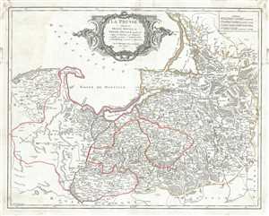
La Prusse divisee en Prusse Royale, et Prusse Ducale laquelle a ete erigee en Royaume par l'Empereur Leopold en favour de Frederic I. Elec? de Brandebourg couronee en Janvier 1701.
$350.00
Acquire
- Digital Map Information
- Suitable for large format printing
- Full resolution TIFF file
- ICC color profile embedded
- Delivered instantly via download link
This is a beautiful 1751 map of Prussia by Robert de Vaugondy. It covers the northeastern part of Poland and Lithuania and extends from Grodno and the ... (more details)
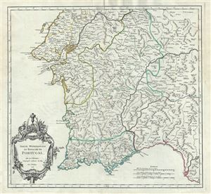
Partie Meridionale du Royaume de Portugal.
$300.00
Acquire
- Digital Map Information
- Suitable for large format printing
- Full resolution TIFF file
- ICC color profile embedded
- Delivered instantly via download link
This is an attractive 1751 map of the southern portion of Portugal by Robert de Vaugondy. It covers southern Portugal from Abrantes southward to ... (more details)
Beautiful map of southern Spain.
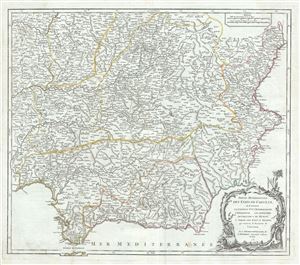
Partie Meridionale des Etats de Castille, ou se trouvent la Castille Nlle., l'Estremadure, l'Andalousie, les Royaumes de Grenade et de Murcie; et partie des Etats d'Aagon, qui contient le Royaume de Valence.
$300.00
Acquire
- Digital Map Information
- Suitable for large format printing
- Full resolution TIFF file
- ICC color profile embedded
- Delivered instantly via download link
This is a beautiful 1751 map of southern Spain by Robert de Vaugondy. It extends from Ayamonte north to Segovia and from Guarda in Portugal to ... (more details)
Stunning 18th century Vaugondy map of the Circle of Swabia, Germany.
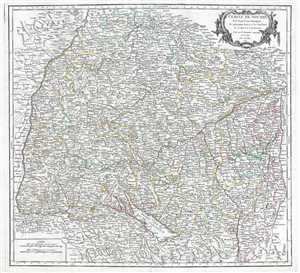
Cercle de Souabe, dans lequel sont distingués les principaux Etats, et les Enclaves de la Maison d'Autriche.
$175.00
Acquire
- Digital Map Information
- Suitable for large format printing
- DPI: 300
- File Size: 14.05 MB
- File Type: ZIP / TIFF
- ICC color profile embedded
- Delivered instantly via download link
This is an attractive 1749 map of Swabia, Germany by Gilles Robert de Vaugondy. The map covers the southwestern parts of Germany along with ... (more details)
Gorgeous old color Vaugondy map of Bavaria, Germany and Salzburg, Austria.
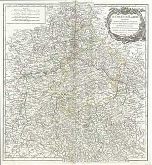
Le Cercle de Baviere qui comprend le Haut Palatinat, les Duchés de Haute et de Basse Baviere et de Neuburg, l'Archevéché de Salzburg, les Évéchés de Ratisbonne, de Freisingen, de Passau et la Prevôte de Berchtolsgaden.
$175.00
Acquire
- Digital Map Information
- Suitable for large format printing
- DPI: 300
- File Size: 11.29 MB
- File Type: ZIP / TIFF
- ICC color profile embedded
- Delivered instantly via download link
This is a beautiful 1751 map of the Bavaria, in the southeast part of Germany by Gilles Robert de Vaugondy. It includes the Archbishopric of ... (more details)
Beautiful map of the French Riviera.
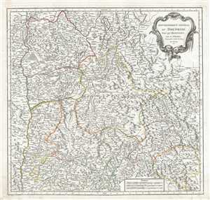
Gouvernement General du Dauphine, divise par Bailliages.
$300.00
Acquire
- Digital Map Information
- Suitable for large format printing
- Full resolution TIFF file
- ICC color profile embedded
- Delivered instantly via download link
This is a fine 1751 map of the Dauphine region of France by Robert de Vaugondy. It covers the southeastern region of France from Rossilon ... (more details)
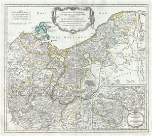
Partie Septentrionale du Cercle de Haute Saxe qui contient le Duche de Pomeranie et le Marquisat de Brandebourg.
$400.00
Acquire
- Digital Map Information
- Suitable for large format printing
- Full resolution TIFF file
- ICC color profile embedded
- Delivered instantly via download link
This is a beautiful map of the northern portion of Upper Saxony, in what is now Northeast Germany and Northwest Poland, by Robert de ... (more details)
18th century map of Westphalia, Germany.
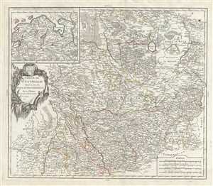
Cercle de Westphalie divise en tous ses etats et souverainetes.
$300.00
Acquire
- Digital Map Information
- Suitable for large format printing
- Full resolution TIFF file
- ICC color profile embedded
- Delivered instantly via download link
This is a fine 1751 map of Westphalia, Germany by Robert de Vaugondy. It covers from Liege, Belgium north to Bremen, Germany and ... (more details)
Beautifully engraved 18th century map of Germany.
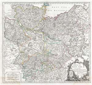
Cercle de Basse Saxe ou sont distingues les Etats de Brunswich, les Duches de Holstien, de Mecklenbourg et des Eveches d'Hildesheim, et d'Halberstadt.
$350.00
Acquire
- Digital Map Information
- Suitable for large format printing
- Full resolution TIFF file
- ICC color profile embedded
- Delivered instantly via download link
This is a 1752 Robert de Vaugondy map of Germany. The map depicts the northern part of modern-day Germany from Sleswick south as ... (more details)
Covers the Languedoc Wine Region of France
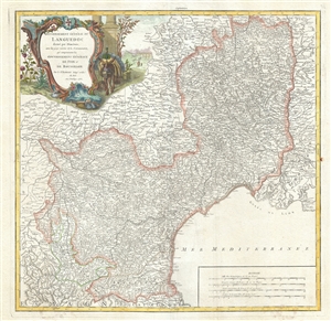
Gouvernement General du Languedoc divise par Dioceses, avec les pays voisins de la Catalogne, qui comprennent les Gouvernemens Generaux de Foix et de Rousillon.
$400.00
Acquire
- Digital Map Information
- Suitable for large format printing
- DPI: 300
- File Size: 15.16 MB
- File Type: ZIP / TIFF
- ICC color profile embedded
- Delivered instantly via download link
This is a beautiful 1752 map of the Languedoc region of France by Robert de Vaugondy. It covers the southeastern portions of ... (more details)
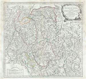
Duche de Savoye qui comprend le Chablais, le Fossigny, le Genevois, la Savoye Propre, la Tarentaise et la Maurienne; dresse d'apres la Grande Carte de Piemont de Tomaso Borgomo (i.e., Borgonio) et autres.
$250.00
Acquire
- Digital Map Information
- Suitable for large format printing
- Full resolution TIFF file
- ICC color profile embedded
- Delivered instantly via download link
This is a beautiful 1751 map of the Duchy of Savoy by Rober de Vaugondy. It covers from Vevey in Switzerland south to ... (more details)
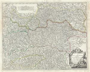
Partie septentrionale du Cercle d'Autriche, qui comprend l'Archiduche d'Autriche, divise en ses huit quartiers; et la haute partie du Duche de Stirie.
$375.00
Acquire
- Digital Map Information
- Suitable for large format printing
- Full resolution TIFF file
- ICC color profile embedded
- Delivered instantly via download link
This is a fine 1752 map of northern Austria by Robert de Vaugondy. It covers from Radstadt north to Scharding and ... (more details)
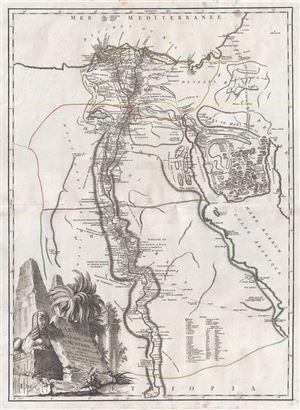
Carte de l'Egypte Ancienne et Moderne, dressee sur celle du R.P. Sicard et autres, assujetties aux observations astronomiques.
$375.00
Acquire
- Digital Map Information
- Suitable for large format printing
- Full resolution TIFF file
- ICC color profile embedded
- Delivered instantly via download link
This is an exceptional 1753 map of Egypt by Rober de Vaugondy. Centered in the Nile River Delta, the map covers ... (more details)
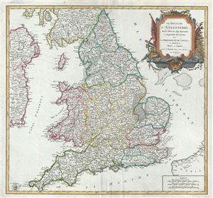
Le Royaume d'Angleterre, divise selon les sept Royaumes, ou Heptarchie des Saxons, avec la Principaute de Galles; et subdivise en Shires ou Comtes.
$400.00
Acquire
- Digital Map Information
- Suitable for large format printing
- Full resolution TIFF file
- ICC color profile embedded
- Delivered instantly via download link
This is a scarce 1753 map of England and Wales by Robert de Vaugondy. It extends from Scotland south to the ... (more details)
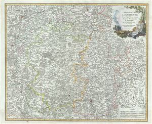
Carte du Duche de Luxembourg, dans laquelle on trouve la partie Meridionale et limitrophe de la Seigneurie de Lyege.
$350.00
Acquire
- Digital Map Information
- Suitable for large format printing
- Full resolution TIFF file
- ICC color profile embedded
- Delivered instantly via download link
This is a beautiful 1753 map of the Duchy of Luxembourg and part of southern Belgium by Robert de Vaugondy. ... (more details)
Gorgeous old color Vaugondy map of Picardy and Artois in northern France.
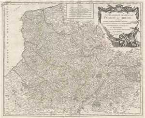
Gouvernement Général de Picardie et Artois qui comprend le Comté d'Artois, le Ponthieu l'Amienois, le Santerre, le Vermandois et le Theirrache. Gouvernemens Généraux du Boulenois et de la Flandre Francoise. Par le Sr. Robert Geographe ordinaire du Roi, Avec Privilege
$250.00
Acquire
- Digital Map Information
- Suitable for large format printing
- DPI: 300
- File Size: 16.3 MB
- File Type: ZIP / TIFF
- ICC color profile embedded
- Delivered instantly via download link
This is a beautiful old color 1753 Robert de Vaugondy map of Picardy and Artois. This map covers the regions ... (more details)
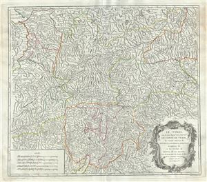
Le Tyrol sous le nom duq'uel l'on comprend le Comte de Tyrol, les Comtes annexes de Bregentz, Feldkirck, Monfort, Pludentz, etc., et les Eveches de Trente, et de Brixen, sous la protection des Comtes de Tyrol.
$350.00
Acquire
- Digital Map Information
- Suitable for large format printing
- Full resolution TIFF file
- ICC color profile embedded
- Delivered instantly via download link
This is a scarce 1753 map of the county of Tyrol in modern day Italy and Austria, by Robert de Vaugondy. It ... (more details)
Covers the wine and cheese producing regions in southern France.
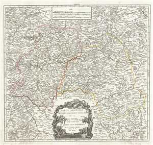
Partie Orientale du Gouvernement General de la Guienne ou se trouvent le Quercy et le Rouergue.
$300.00
Acquire
- Digital Map Information
- Suitable for large format printing
- Full resolution TIFF file
- ICC color profile embedded
- Delivered instantly via download link
This is a scarce 1753 map of the Eastern Guyenne region of France by Robert de Vaugondy. It depicts the ... (more details)
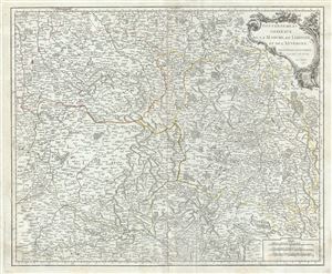
Gouvernemens Generaux de la Marche, du Limosin, et de l'Auvergne.
$200.00
Acquire
- Digital Map Information
- Suitable for large format printing
- Full resolution TIFF file
- ICC color profile embedded
- Delivered instantly via download link
This is a fine 1753 map of the Limousin, Marche and Auvergne regions of France by Robert de Vaugondy. ... (more details)