
NEW ACQUISITIONS
North America after the Louisiana Purchase but before Lewis and Clark.
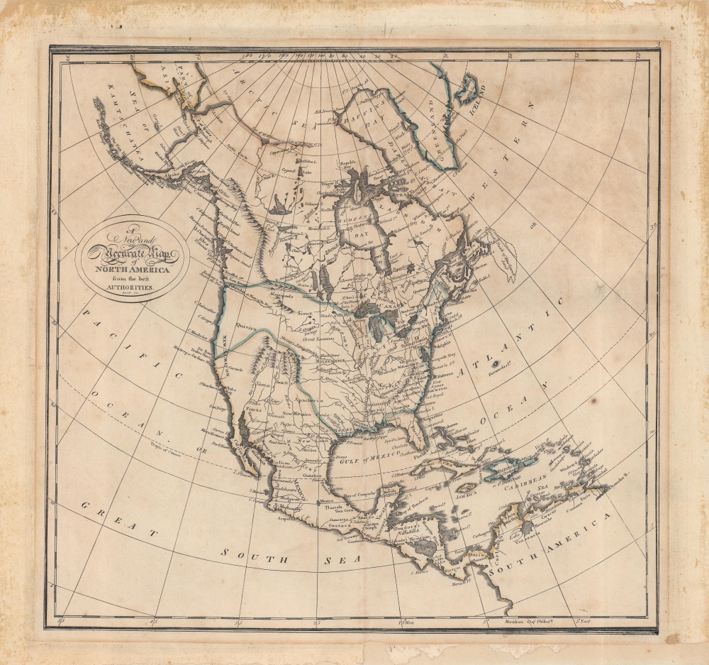
A New and Accurate Map of North America from the best Authorities.
$350.00
Acquire
- Digital Map Information
- Suitable for large format printing
- Full resolution TIFF file
- ICC color profile embedded
- Delivered instantly via download link
An interesting map of North America by Matthew Carey and engraved by John Bower for the 1814 edition of Carey's General Atlas. It reflects the state of geographical knowledge of interior North America at the start of the 19th century, before the discoveries of Lewis and Clark. (more details)
Western Long Island Sound's Sailing Grounds by a Sail Lover.
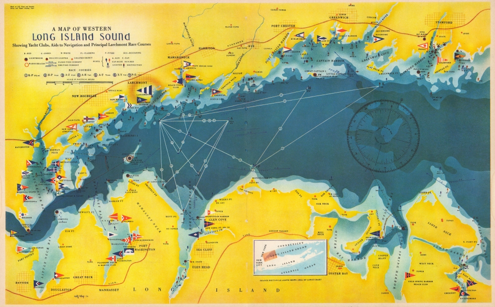
A Map of Western Long Island Sound: Showing Yacht Clubs, Aids to Navigation and Principal Larchmont Race Courses.
$225.00
Acquire
- Digital Map Information
- Suitable for large format printing
- File Size: 55.59 MB
- File Type: ZIP / TIFF
- ICC color profile embedded
- Delivered instantly via download link
This is a delightful 1939 Rolf Klep pictorial map of western Long Island Sound. It covers the waters off Westchester County, Fairfield County, and the ‘Gold Coast’ of Long Island, specifically those frequented by the members of the Larchmont Yacht Club. A note on the verso describes this as ‘a Yachting Paradise’ and ‘the most populous yachting center in the world, with about fifty clubs lining some seventeen miles of Long Island Sound.’ The locations of indeed fifty yachting clubs are marked with flags on the map, as are lighthouses, buoys, and radio beacons. The routes of seven Larchmont Regatta race courses are shown in white overlapping triangles throughout the Sound. Though soundings are not numbered, depths are indicated by varying shades, the darkest showing the deepest water, over 120 feet. Ebb and flood tides are marked on the map with arrows, as are key landmarks used by yachtsmen to take compass bearings - chimneys, domes, water towers, and even specific houses. Despite the map’s richness of detail, the author of the article it accompanied was at pains to explain that ‘though accurate, this map should not be used for navigation’ directing the reader instead to consult the U.S. Coast and Geodetic Survey and Texaco cruising charts from which the map’s data was drawn. (more details)
First edition of Eldridge's Chesapeake Bay, the largest 19th century commercial chart of the Chesapeake.
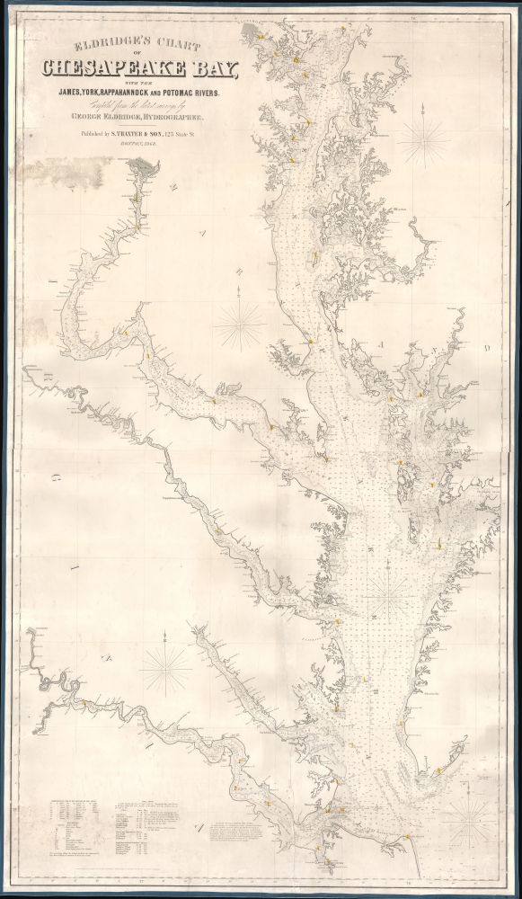
Eldridge's Chart of Chesapeake Bay, with the James, York, Rappahannock and Potomac Rivers.
$1,800.00
Acquire
- Digital Map Information
- Suitable for large format printing
- Full resolution TIFF file
- ICC color profile embedded
- Delivered instantly via download link
A rare first edition 1868 Eldridge / Thaxter nautical chart or maritime map of the Chesapeake Bay. This expansive chart covers the Chesapeake from its mouth at Cape Henry to Baltimore. It extends westward to include the James, York, Rappahannock, and Potomac River estuaries. In a brilliant aesthetic flourish, Washington D.C. appears centered directly below the title area, with the President's House, the Capitol, and the Smithsonian Institution labeled. Includes original hand color highlighting of lighthouses. (more details)
Pre-War Singapore.
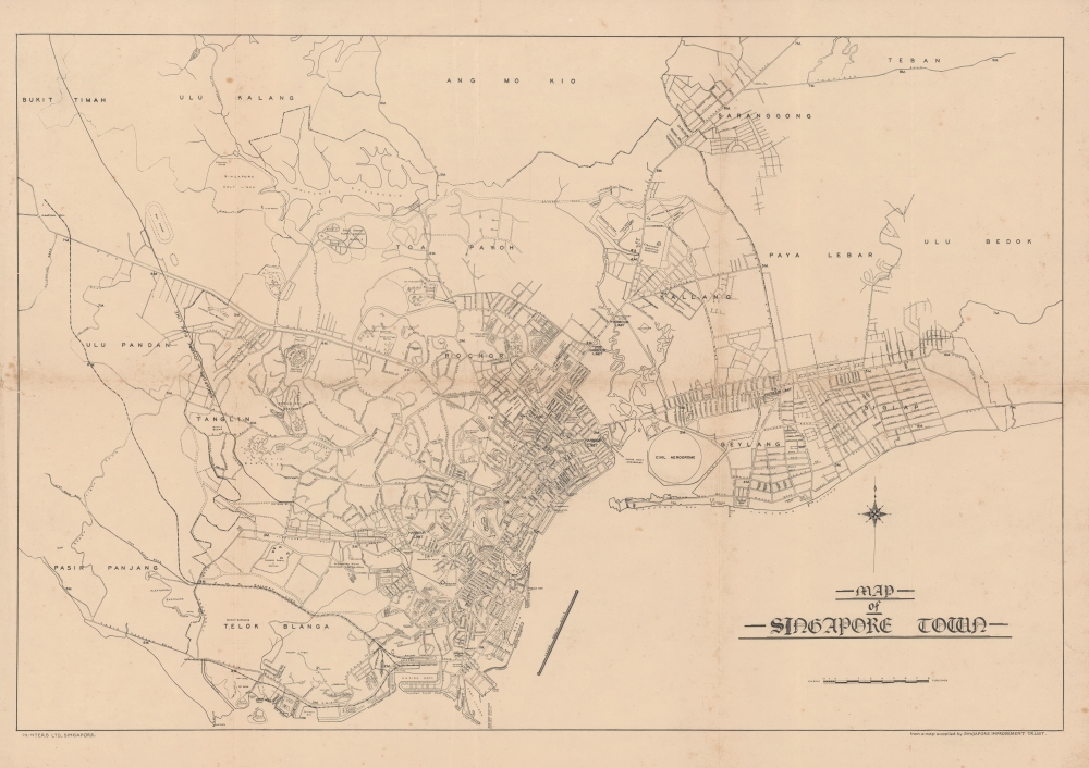
Map of Singapore Town.
$1,350.00
Acquire
- Digital Map Information
- Suitable for large format printing
- File Size: 35.32 MB
- File Type: ZIP / TIFF
- ICC color profile embedded
- Delivered instantly via download link
This uncommon map of Singapore city was issued c. 1930 by Printers Ltd. The map is based on surveys compiled by the Singapore Improvement Trust. Centered on the Downtown Core, the map covers what is today central Singapore from the Labrador Nature Preserve to Marine Parade, extending inland as far as the MacRitchie Reservoir. Streets, districts, rail lines (both proposed and extent), golf courses, and more are noted. The map notes the Civil Aerodrome, or Kallang Airfield, construction on which began in 1931 and finished in 1937. The presence of the Aerodrome here validates our dating, since only the outline of the space is provided, with none of buildings or other structures noted. (more details)
Surveying the interior of the Malay Peninsula.
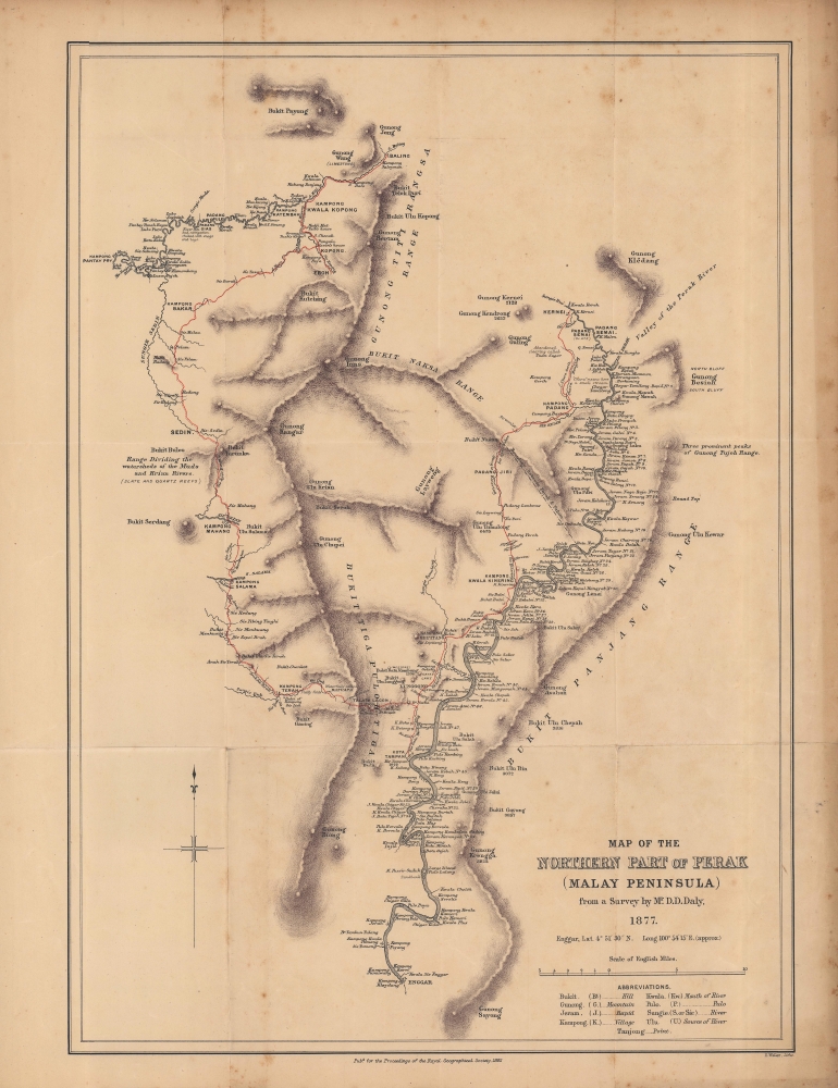
Map of the northern part of Perak (Malay Peninsula)...
$1,300.00
Acquire
- Digital Map Information
- Suitable for large format printing
- File Size: 12.31 MB
- File Type: ZIP / TIFF
- ICC color profile embedded
- Delivered instantly via download link
An early map of the northern part of the Perak Sultanate, now a state of Malaysia, prepared by pioneering British surveyor Dominic Daniel Daly for publication in the 1882 Proceedings of the Royal Geographical Society. It dates from soon after the establishment of a British residency in the sultanate, amid a tin mining boom that transformed the region's economy and society. (more details)
The North Parts of Spain Magnificently Detailed.
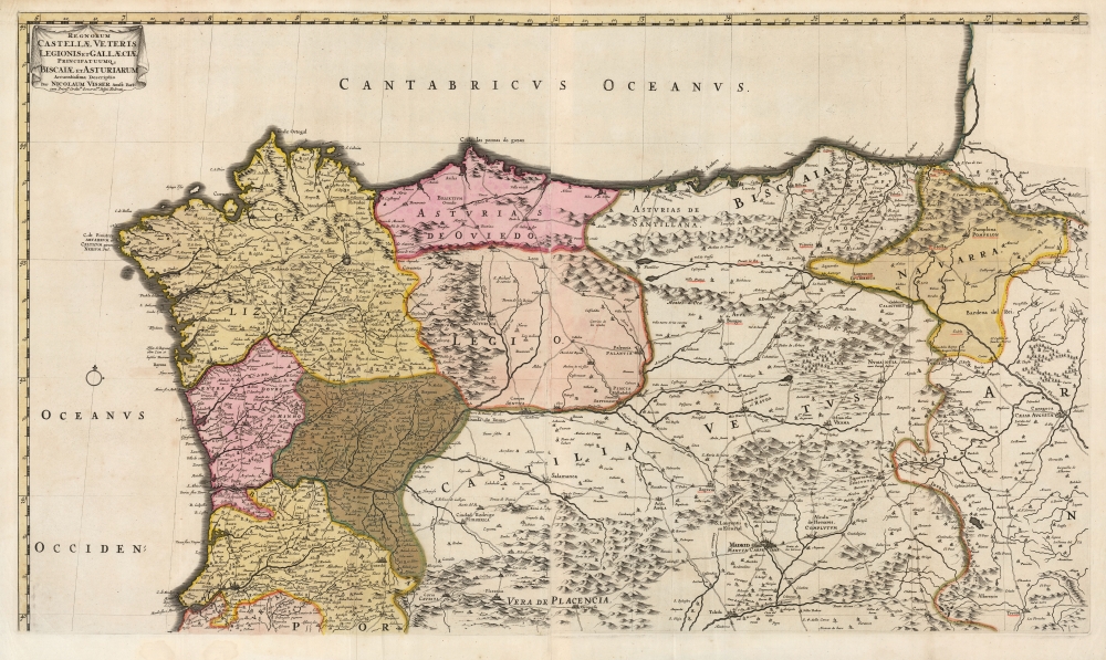
Regnorum Castellæ veteris Legionis et Gallæciæ principatuumque Biscaiæ et Asturiarum accuratissima descriptio.
$1,250.00
Acquire
- Digital Map Information
- Suitable for large format printing
- DPI: 600
- File Size: 91.47 MB
- File Type: ZIP / TIFF
- ICC color profile embedded
- Delivered instantly via download link
This is a beautiful example of Nicolaes Visscher II's 1682 map of northern Spain and Portugal. The map covers the main pilgrimage routes to Santiago de Compostela from the Pyrenees to Galicia. (more details)
A unique souvenir of Schweitzer's medical mission.

Lambarene, Doctor Albert Schweitzer's Forest Hospital.
$950.00
Acquire
Signed by the good doctor himself, this is a plan of Dr. Albert Schweitzer's hospital at Lambaréné on the Ogooué River in western Gabon. Schweitzer established the hospital in 1913 and would spend much of the next fifty-two years of his life at the compound. (more details)
Home of the famous Winter Festival.
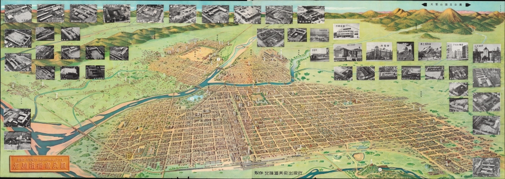
旭川市産業観光大案内図 / [Asahikawa Business and Sightseeing Guide Map].
$800.00
Acquire
An impressive large-scale 1958 panoramic bird's-eye view of Asahikawa, Hokkaido published by the Hokkaido Bijutsu Shuppansha. Intended for both business travelers and tourists, it highlights the city's industry, culture, and attractions, many of which reflect an embrace of the area's harsh, cold climate. (more details)
Rome's Provinces in Northwest Africa.
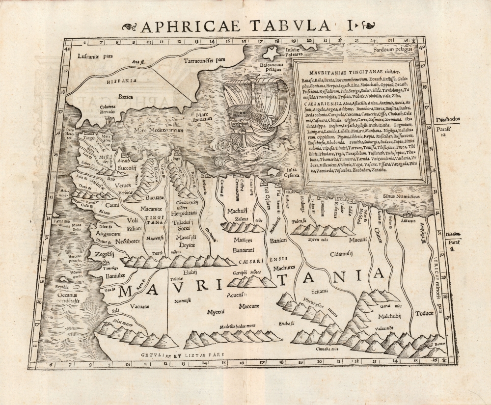
Aphricae Tabula I.
$750.00
Acquire
- Digital Map Information
- Suitable for large format printing
- DPI: 600
- File Size: 22.61 MB
- File Type: ZIP / TIFF
- ICC color profile embedded
- Delivered instantly via download link
This is a beautiful 1552 example of Sebastian Münster's Ptolemaic map of northwestern Africa and the Strait of Gibraltar. This was the first of Ptolemy's three particular maps of the part of Africa known to Rome in the second century; it represented the southwestern limit of the Alexandrian Roman geographer's knowledge.
Specifically, the map focuses on the Roman African provinces (annexed by Emperor Claudius in 44 C.E.) of Mauretania Tingitana west of the Moulouya River, and Mauritania Caesariensis to the east of it. The two provinces were administered respectively from the coastal cities of Tangier (Tingis) and Jol Caesarea (now called Cherchell, in modern Algeria.) Both of these are shown and named on the map. The map extends southwards to the Atlas Mountains, which Rome considered to be the southern border of their African provinces. (Rome's actual occupation did not reach so far - in the west, the area of Volubilis (here 'Voli Bilian')The The eastern limit of the map is the River Ampsaga, which represented the boundary between Mauretania and Numidia. it is now understood to correspond with the modern Oued-el-kabir river in Algeria. Thus, the present map extends through most of Algeria and Morocco. (more details)
Specifically, the map focuses on the Roman African provinces (annexed by Emperor Claudius in 44 C.E.) of Mauretania Tingitana west of the Moulouya River, and Mauritania Caesariensis to the east of it. The two provinces were administered respectively from the coastal cities of Tangier (Tingis) and Jol Caesarea (now called Cherchell, in modern Algeria.) Both of these are shown and named on the map. The map extends southwards to the Atlas Mountains, which Rome considered to be the southern border of their African provinces. (Rome's actual occupation did not reach so far - in the west, the area of Volubilis (here 'Voli Bilian')The The eastern limit of the map is the River Ampsaga, which represented the boundary between Mauretania and Numidia. it is now understood to correspond with the modern Oued-el-kabir river in Algeria. Thus, the present map extends through most of Algeria and Morocco. (more details)
Waning days of British Hong Kong.
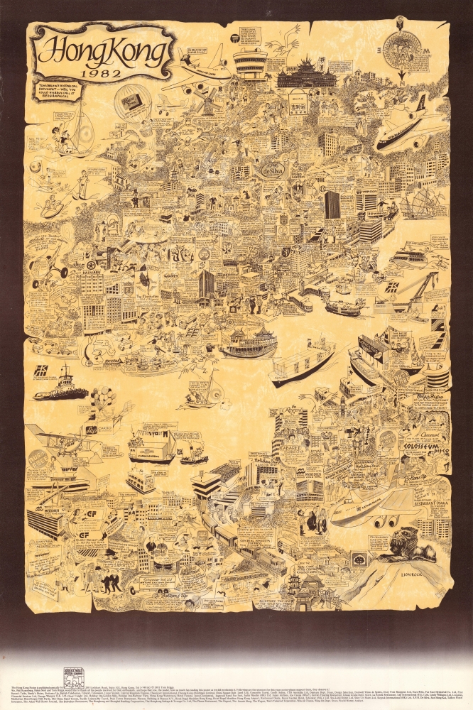
Hong Kong, 1982.
$750.00
Acquire
An amusing 1982 pictorial map of Hong Kong by local illustrator and historian Tom Briggs. It highlights the cosmopolitan nature of 'old Hong Kong,' while also, perhaps self-consciously, revealing the chasm between the British elite and the local Chinese who made up most of the city's population. (more details)
Australia with an unknown interior.
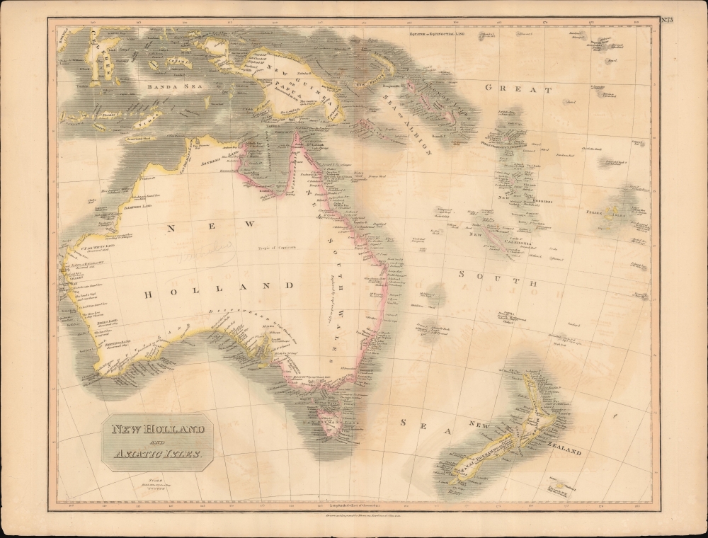
New Holland and Asiatic Isles.
$650.00
Acquire
- Digital Map Information
- Suitable for large format printing
- DPI: 600
- File Size: 707.73 MB
- File Type: ZIP / TIFF
- ICC color profile embedded
- Delivered instantly via download link
This a wonderful example of John Thompson's 1814 Map of Australia, New Zealand, New Guinea, and parts of Polynesia. (more details)
The American west - and Typography.
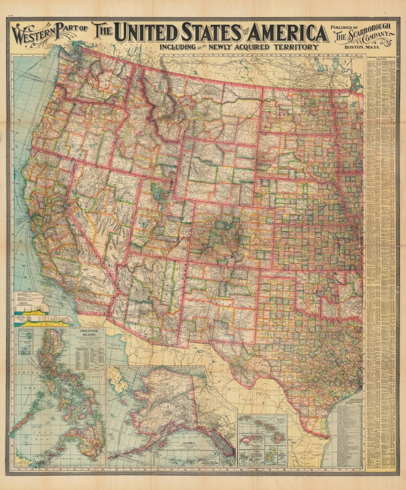
Western Part of The United States of America including all the Newly Acquired Territory.
$500.00
Acquire
- Digital Map Information
- Suitable for large format printing
- File Size: 242.34 MB
- File Type: ZIP / TIFF
- ICC color profile embedded
- Delivered instantly via download link
This is a large and colorful 1903 map of the western United States by the Scarborough Company. Scarborough became popular in the early 19th century due to their impressive size, high quality, and striking typography. (more details)
Some 'doubtful' islands.
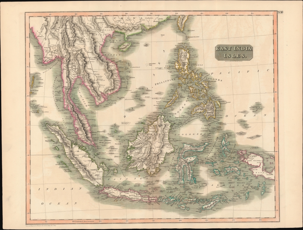
East India Isles.
$450.00
Acquire
- Digital Map Information
- Suitable for large format printing
- DPI: 600
- File Size: 720.5 MB
- File Type: ZIP / TIFF
- ICC color profile embedded
- Delivered instantly via download link
This is John Thomson's 1814 map of Southeast Asia and the East India Islands. (more details)
Prelude to the destruction of the First Temple.
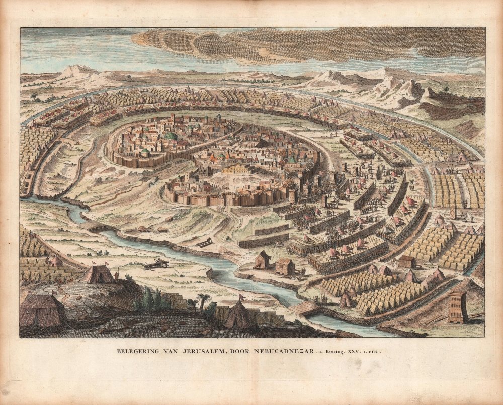
Belegering Van Jerusalem, Door Nebucadnezar.
$450.00
Acquire
- Digital Map Information
- Suitable for large format printing
- Full resolution TIFF file
- ICC color profile embedded
- Delivered instantly via download link
A hand-colored example of a c. 1730 view of Jerusalem as it was believed to have appeared in 587 (or perhaps 586) BCE, when it was besieged by Nebuchadnezzar II. The siege and eventual destruction of the city was one of the major historical events referred to in the Old Testament, leading to the Babylonian Captivity. (more details)
The American east - and Typography.
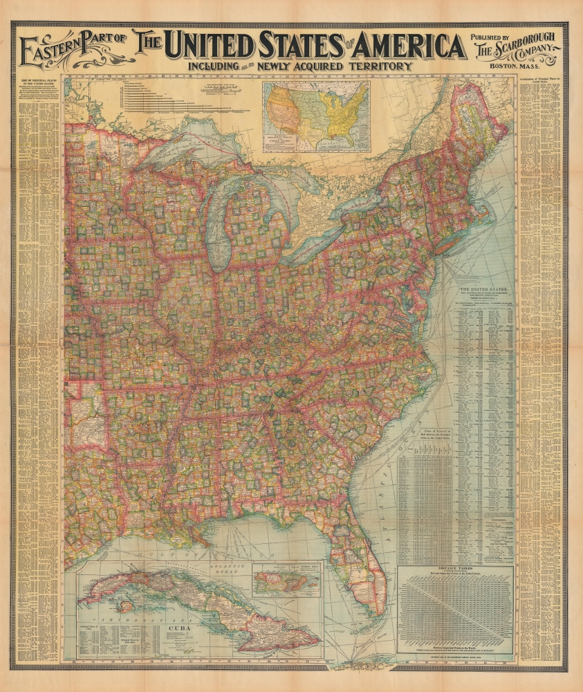
Eastern Part of The United States of America including all the Newly Acquired Territory.
$400.00
Acquire
- Digital Map Information
- Suitable for large format printing
- File Size: 246.13 MB
- File Type: ZIP / TIFF
- ICC color profile embedded
- Delivered instantly via download link
This is a large and colorful 1903 Scarborough map of the eastern United States. Scarborough became popular in the early 19th century due to their impressive size, high quality, and striking typography. (more details)
One of the better mid-century maps of Lake Tahoe.
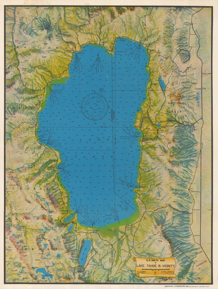
E. R. Smith Map of Lake Tahoe and Vicinity.
$350.00
Acquire
- Digital Map Information
- Suitable for large format printing
- Full resolution TIFF file
- ICC color profile embedded
- Delivered instantly via download link
A very attractive 1947 Edward R. Smith map of Lake Tahoe. (more details)
Before the momentous mid-19th century.
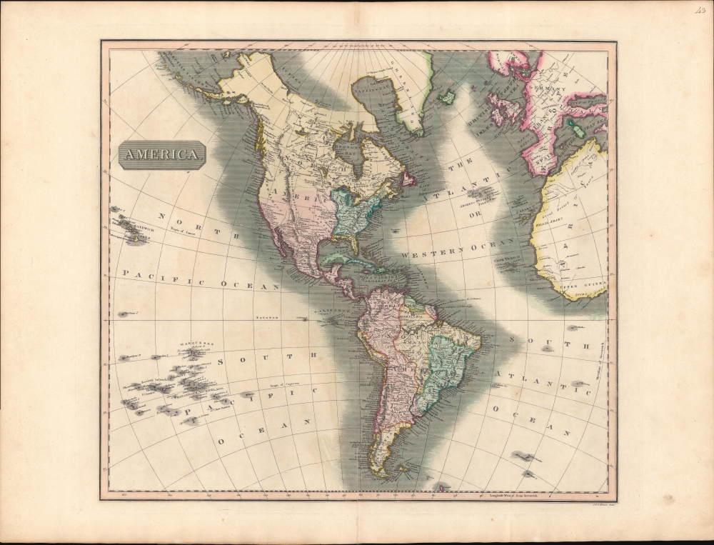
America.
$350.00
Acquire
- Digital Map Information
- Suitable for large format printing
- DPI: 600
- File Size: 709.93 MB
- File Type: ZIP / TIFF
- ICC color profile embedded
- Delivered instantly via download link
A striking example of John Thomson's 1813 map of the Americas. The America presented here predates the momentous events of the mid-19th century: the Mexican American War, the Gold Rush, and the Latin American Wars of Independence. (more details)
18th Century mapping of the Plata region.
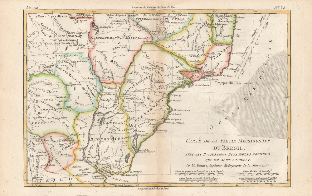
Carte De La Partie Meridionale De Bresil, Avec Les Possessions Espagnoles Voisines que en sont a l'Ouest. Par M. Bonne, Ingénieur-Hydrographe de la Marine.
$175.00
Acquire
- Digital Map Information
- Suitable for large format printing
- DPI: 600
- File Size: 12.79 MB
- File Type: ZIP / TIFF
- ICC color profile embedded
- Delivered instantly via download link
An attractive example of Rigobert Bonne's 1774 map of southern Brazil, Uruguay, and northern Argentina, including Rio de Janeiro, Montevideo, and Buenos Aires. This map generally corresponds to modern day Minas Gerais, Sao Paulo, Parana, Santa Catarina, Rio Grande du Sol, Uruguay, Buenos Aires, Motto Grosso, and Paraguay. Offers speculative detail of the largely unexplored interior, including the Laguna de Xarayes, a mythical lake at the northern terminus of the Paraguay River associated with the Earthly Paradise. (more details)
Visit Florida.
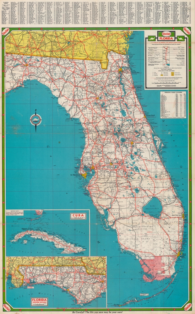
Florida.
$125.00
Acquire
- Digital Map Information
- Suitable for large format printing
- Full resolution TIFF file
- ICC color profile embedded
- Delivered instantly via download link
This is a c. 1953 Rand McNally road map distributed by Sinclair Oil. State and interstate highways are noted with urban areas are shaded yellow. The Everglades National Park stands out in pink. Insets in the lower left corner focus on the Florida Panhandle and Cuba. (more details)
Two significant rarities - Saigon and Shanghai - back to back.
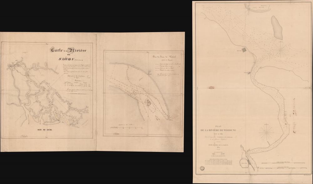
Carte de la Rivière de Saigon (Cochinchine). / Plan du Band de Corail (rivière de Saigon). / Plan de al Rivière de Woosung Levé en 1842 Par les Capitaines H. Kellet and R. Collinson, de la Marine Anglaise.
$7,500.00
Acquire
- Digital Map Information
- Suitable for large format printing
- Full resolution TIFF file
- ICC color profile embedded
- Delivered instantly via download link
This is a remarkable set of back-to-back maps - both are significant in different ways. The most interesting is a finely-executed c. 1860 manuscript chart detailing river approaches to Saigon (Ho Chi Min City). On the verso (or recto, depending) is an 1850 printed nautical chart of the approaches to Shanghai based on the cartography of the First Opium War (1839 - 1842). Both maps are significant, with the manuscript taking primacy as, in all likelihood, it is the first modern hydrographic survey of the Song Sai Gon Estuary. (more details)