Most recently added antique and rare maps as of 4/25/2024.
1944 David Jones City Plan or Map of Sydney, Australia during World War II
A rare piece of history that harkens back to the rest and relaxation periods offered to Allied troops serving in the Pacific during World War II.
$400.00

1960 Saigon Moi City Plan or Map of Bac Lieu, Vietnam
Details a provincial capital just south of the Mekong Delta.
$250.00

1933 Rothe and Gibbs Pictorial Map of Europe / WWI Route of 301st Artillery
Traces the route of the 301st Field Artillery during World War I.
$950.00

1915 Bain map of Los Angeles and Vicinity
Extremely Rare, Ingenious Map of Los Angeles
$450.00

1943 Army Orientation Branch Map of the Dutch East Indies
A map of the East Indies created to help educate soldiers during World War II.
$150.00

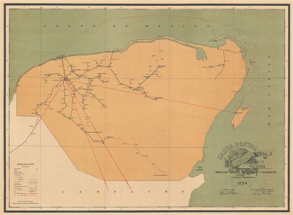
1934 Transportation Office Map of Guerrero (Acapulco), Mexico Postal Route
Mail routes delivered on foot, on horseback, and by car are traced throughout the state.
$950.00

1944 Chapin Map of the Battle of Monte Cassino in Italy During World War II
Published between the third and fourth Allied assaults on Monte Cassino, a key strongpoint in German defenses in central Italy.
$700.00

1907 Map of San Francisco Showing the 1906 Fire
Extremely Rare Map Showing the Extent of the 1906 San Francisco Fire
$500.00

1970 Civic Education Service Broadside Map of the World's Oceans
Features an artistic rendering of several submersible vehicles - including the Aluminaut, the world's first aluminum submarine.
$400.00

1965 Gutierrez Infographic Map of Mexico and the Mexican Fishing Industry
Promotes the growing importance of fishing cooperatives in Mexico.
$350.00

1960 De Jesus City Plan or Map of Manila, Philippines
A charming city map of Manila that highlights the American embassy and United Nations Park.
$250.00

1851 Tallis and Rapkin Map of New South Wales, Australia w/ Gold Claims
Highlights numerous gold claims across New South Wales at the beginning of the Australian Gold Rush.
$200.00

1774 Cook / Benard/ Hawkesworth  Chart of the Pacific Ocean
The Pacific Voyages of Three Great English Circumnavigators of the 18th century
$950.00

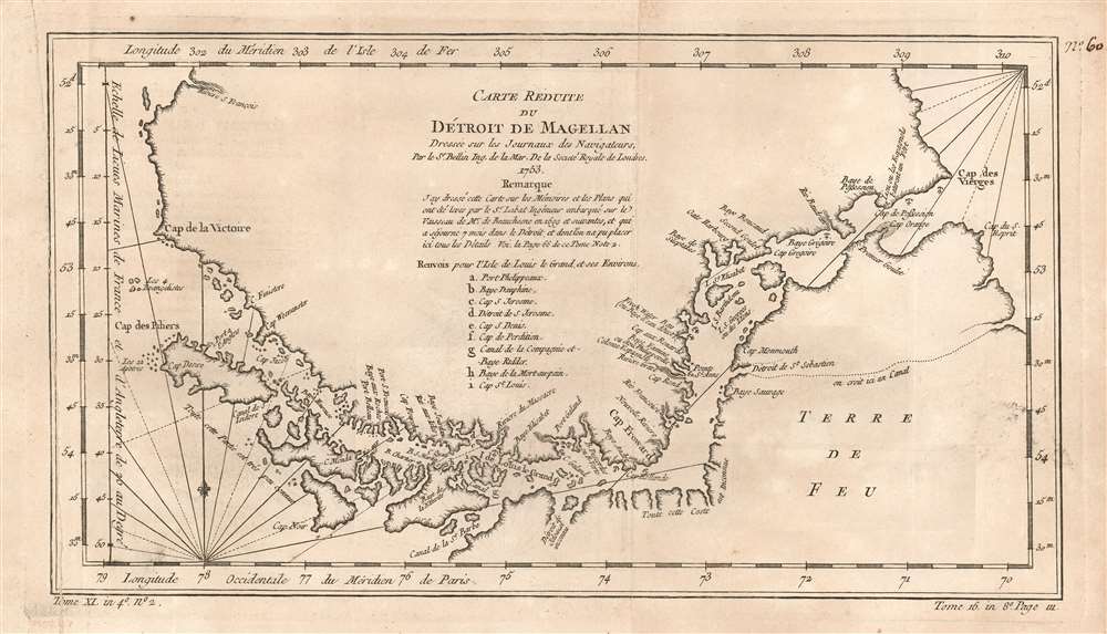
1774 Cook / Benard/ Hawkesworth Chart of the Straits of Magellan
A Grand, Detailed Chart of Cook's Passage Through the Straits
$950.00

1940 Price and Lee Co. City Map of Newark, New Jersey w/ Manuscript Railroads
A one-of-a-kind map of Newark, New Jersey tracing railroad lines in and around the city.
$650.00

1774 Cook Benard/ Hawkesworth  Chart of New Guinea, New Britain and New Ireland
A Chart of East Indies Discoveries by Cook and Carteret
$350.00

1880 Stanford Map of Bermuda Recording a 1921 Visit in Manuscript
With Delightful Manuscript Notation Describing a Family's Bermuda Vacation in August 1921
$500.00

1906 Piper Map of Washington State Floral Areas
Highlights different floral areas throughout the state.
$350.00

1951 Liozu Pictorial Map of Australia, the East Indies, and Oceania
Includes the Philippines, Indonesia, Hawaii, and numerous Pacific island groups.
$275.00