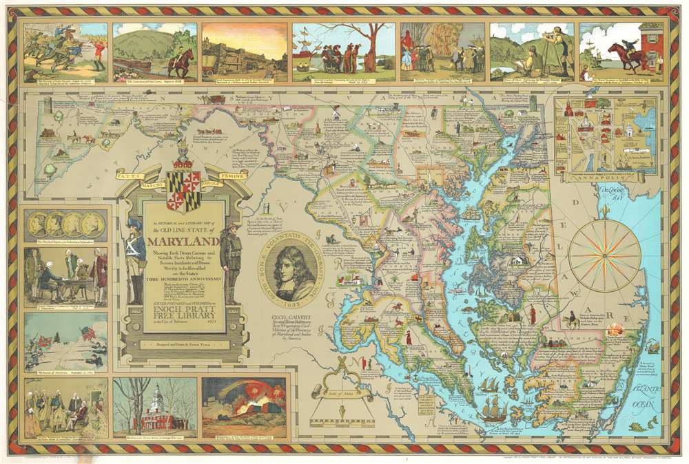
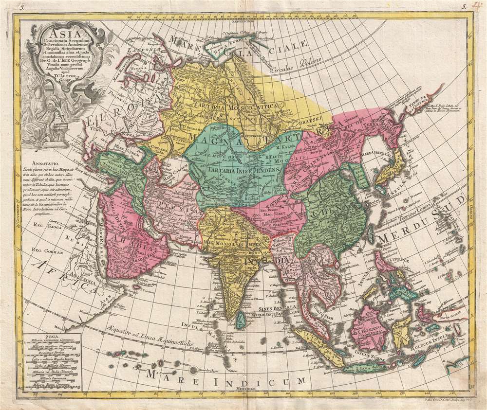
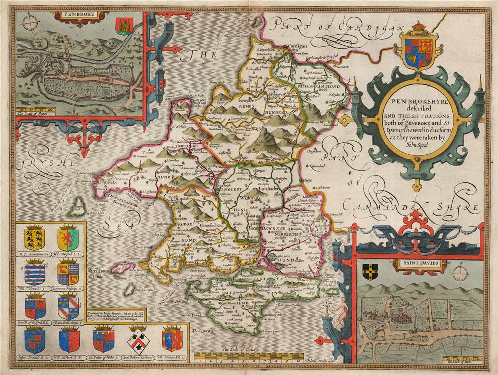
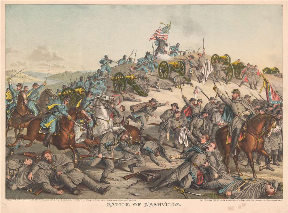
Most recently added antique and rare maps as of 5/8/2024.
1949 New Zealand Lands and Survey Department Map of Auckland, New Zealand
A topographical map and city plan of Auckland, New Zealand.
$300.00

1788 Maire Map of the Dardanelles or the Hellespont, Turkey
Published during the Austro-Turkish War.
$950.00

1690 Coronelli Map of the Rhine River Between Wesel and Koblenz, Germany
A map of the Rhine River and the Electorate of Cologne, one of the many administrative divisions of the Holy Roman Empire.
$600.00

1892 Mingjei Liu Humorous Woodlblock Map of China - first Chinese commercial map
The first Chinese designed and issued commercial map.
$65,000.00

1774 Cook Map of New South Wales, Australia
The first map of New South Wales Australia!
$1,900.00

1947 Estra Clark Pictorial Map of York, England
Finely executed pictorial map illustrating Mediaeval York.
$425.00

1788 / c. 1920 Goerck Map of Soho, Manhattan, New York City
A facsimile of one of the first attempts to impose a street grid on Manhattan Island.
$750.00

1874 Imray Blueback Nautical Chart or Maritime Map of the Indian Ocean
Giant blueback working nautical chart of the Indian Ocean with in manuscript navigational notes.
$3,500.00

1920 Map of Adirondack Region Telephone Companies with Manuscript Notations
A one-of-a-kind piece highlighting small telephone companies in the Adirondacks.
$500.00

1964 Malaysian Airways Pictorial Map of Southeast Asia
Rare promational pictorial map for the short-lived Kuala Lumpur based Malaysian Airways.
$950.00

1945 Madrid City Council City Map or Plan of Madrid, Spain
Illustrates part of the Casa de Campo, a 4,200 acre public part just west of downtown Madrid.
$350.00

1830 Seaton Large-Format Case Map of England and Wales
A beautiful map of England and Wales framed by vignettes of historic landmarks and figures.
$1,500.00

1938 Carrigen Pictorial Map of Wyoming
An incredibly entertaining pictorial map of Wyoming.
$200.00

1872 Holmes Map of Hell's Kitchen, Manhattan, New York City
A map of Hell's Kitchen that traces the development of the neighborhood.
$4,000.00

1869 Holmes Map of Little Italy, Nolita, and Soho, Manhattan, NYC
A wonderful map of Little Italy, Nolita, and part of Soho that traces the history of these neighborhoods.
$5,000.00

1874 Holmes Map of the Upper East Side, Manhattan, New York City
Depicts the neighborhood as it was in the 1790s: dominated by the Common Lands and long before Central Park was even conceived.
$4,500.00

1957 Luong Vietnamese Pictorial Map of World Ethnicities
Illustrates the United States by using the figures of an Old West gunslinger and a Native American chief wearing a headdress.
$650.00

1884 Puck Political Cartoon of Four Different Views of Mormonism
A political cartoons with four different illustrations of 19th century stereotypes of the Mormon religion.
$500.00

1845 Arnout View of the Palais des Tuileris in Paris, France
A beautiful color view of a Parisian palace that was burned during the French Commune.
$375.00

1757 Bellin Map of the Kamchatka Peninsula and the northern Kuril Islands
An incredibly detailed 18th century map of the Kamchatka Peninsula.
$250.00