
Stiles, Samuel
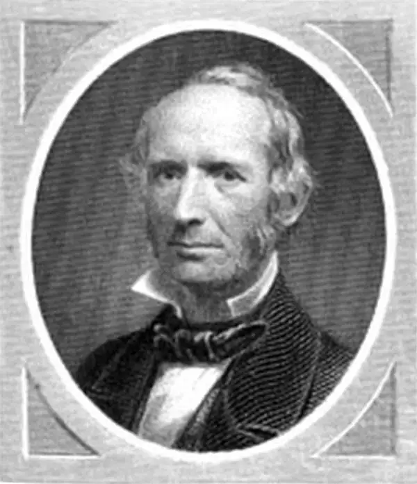
Samuel Stiles (July 15, 1796 - April 3, 1861) was a New York based engraver of maps and bank notes active in the middle part of the 19th century. Stiles was born in East Windsor, Connecticut, and there served his apprenticeship as a line-engraver under self-taught master Abner Reed. In 1821, following his apprenticeship, Stiles relocated to Hartford, Connecticut, with is former master, Abner Reed, to form the firm of Reed and Stiles. Reed and Stiles worked in portrait, historical, landscape, and map engraving on wood and copper. Another former Reed apprentice, Pelton, joined the firm in 1822, changing the name of the firm to Reed, Stiles, and Pelton. Around this time, he also joined the Connecticut State Militia where he was commissioned as a corporal in the same Calvary regiment as his brother Asabel Chapin Stiles. In 1824, he relocated to Utica, New York, where worked with Vistus Balch, also a former Reed apprentice. Stiles and Balch moved to New York together in 1828 to found Balch and Stiles, banknote engravers. In 1833, Samuel Stiles partnered with Joseph Hutchins Colton, then a young man, to found Stiles and Company – Colton being the 'company.' This partnership lasted until 1836 when he and Colton published their great plan of New York City, known as the 'Colton Map.' Colton went his own way and became a major American map publisher. Stiles moved a few blocks away and partnered with George E. Sherman and Colin Smith to found Stiles, Sherman and Smith. The partnership dissolved in 1840 and Stiles took up again with J. H. Colton, who was already becoming prominent. In 1841, he joined the firm of Danforth, Ball, and Company, Bank Note Engravers. This firm eventually merged into the American Bank Note Company. In 1859 Stiles became a founding member of the National Banknote Company, which incorporated as the American Banknote Company. He was the treasurer of this successful firm until his death in 1861. On a side note, Stiles married the daughter of Abner Reed, Charlotte Sophia Reed, in 1825. Their son, Henry Reed Stiles attained fame of his own as historian and genealogist.
Depicts the National Road - the first improved highway in the United States built by the federal government.
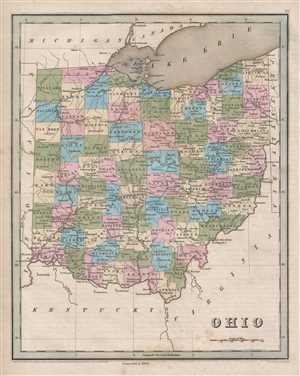
Ohio.
$250.00
Acquire
- Digital Map Information
- Suitable for large format printing
- DPI: 300
- File Size: 4.68 MB
- File Type: ZIP / TIFF
- ICC color profile embedded
- Delivered instantly via download link
This is an 1846 Thomas G. Bradford map of Ohio. The map depicts the state in its entirety, from Michigan and Lake Erie to Kentucky and Virginia and from Indiana to Pennsylvania and Virginia. The National Road, also known as the Cumberland Road, traverses the state ... (more details)
Brooklyn equivalent of the 1811 Commissioners' Plan.
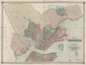
Map of the city of Brooklyn, as laid out by commissioners, and confirmed by acts of the Legislature of the state of New York, made from actual surveys the farm lines and names of original owners being accurately drawn from authentic sources. Containing also a map of the Village of Williamsburgh, and part of the city of New-York: compiled from accurate surveys and documents and showing the true relative position of all.
$8,500.00
Acquire
- Digital Map Information
- Suitable for large format printing
- DPI: 600
- File Size: 210.77 MB
- File Type: ZIP / TIFF
- ICC color profile embedded
- Delivered instantly via download link
This is J. H. Colton's impressive large-scale 1852 map of Brooklyn and Williamsburg. In its 1839 first edition, it is the Brooklyn equivalent to both the 1811 Commissioner' Plan and Colton's great 1836 map of Manhattan, and as such can reasonably be considered the most important and best map of Brooklyn to appear in the 19th century. The present map, 1852, is, in so far as we can tell, the third edition, retaining much of the significance of the first, while also featuring fascinating updates illustrating the break-neck pace with which Brooklyn was then urbanizing. (more details)
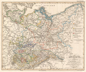
Nord-ostliches Deutschland enthalt - sammtliche Saechsische Lande, die Preussischen Provinxen, Sachsen, Brandenburg,... 'North East Germany and Prussia taken from Stieler's Hand Atlas Neue Ausgabe No.XXVIII No.22]
$125.00
Acquire
- Digital Map Information
- Suitable for large format printing
- DPI: 300
- File Size: 10.37 MB
- File Type: ZIP / TIFF
- ICC color profile embedded
- Delivered instantly via download link
This is a beautiful example of Stieler's 1852 map of the Northeast Germany and Prussia. Valuable for those conducting genealogy, this highly detailed map identifies the names of many of Germany's smallest towns. Rich in detail, as was typical of German, and ... (more details)
Detailing the transportation network of the Upper Midwest.
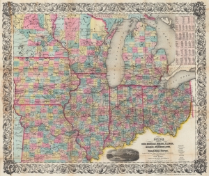
Guide Through Ohio, Michigan, Indiana, Illinois, Missouri, Wisconsin, and Iowa. Showing the Township lines of the United States Surveys, Locations of Cities, Towns, Villages, Post Hamlets, Canals, Rail and Stage Roads.
$1,200.00
Acquire
- Digital Map Information
- Suitable for large format printing
- File Size: 46.6 MB
- File Type: ZIP / TIFF
- ICC color profile embedded
- Delivered instantly via download link
This is an 1855 John Calvin Smith and John H. Colton map of Ohio, Michigan, Indiana, Illinois, Missouri, Wisconsin, and Iowa, along with part of Minnesota. The map captures a pivotal moment as mass emigration, developing industries, and displaced indigenous people transformed regional social, economic, and political spheres. (more details)
Best early map of Long Island.
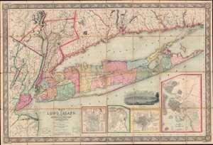
Map of Long Island, with the Environs of New-York and the Southern Part of Connecticut, compiled from Various Surveys and Documents.
$6,750.00
Acquire
- Digital Map Information
- Suitable for large format printing
- File Size: 203.5 MB
- File Type: ZIP / TIFF
- ICC color profile embedded
- Delivered instantly via download link
A fine example of John Calvin Smith and J. H. Colton's 1856 map of Long Island. This is the largest, most significant, and most beautiful map of Long Island to be issued in the 19th century. It is also very likely the first map published by American cartographic titan, J. H. Colton. (more details)
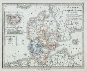
Danemark mit Schleswig, Holstein & Lauenburg. / Island of Faroer.
$100.00
Acquire
- Digital Map Information
- Suitable for large format printing
- File Size: 1.64 MB
- File Type: ZIP / TIFF
- ICC color profile embedded
- Delivered instantly via download link
This fascinating 1862 map by Justus Perthes and Stieler depicts Denmark, Schleswig, Holstein, Iceland, and the Faeroe Islands. There are inset maps of Ireland and the Faeroe Islands. In a display of cartographic flair unique to Perthes maps, a land ... (more details)
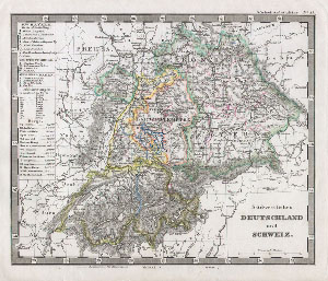
Sudwestliches Deutschland und Schweiz.
$90.00
Acquire
- Digital Map Information
- Suitable for large format printing
- File Size: 3.06 MB
- File Type: ZIP / TIFF
- ICC color profile embedded
- Delivered instantly via download link
This fascinating 1862 map by Justus Perthes and Stieler depicts Switzerland and the states of southwestern Germany. Unlike other cartographic publishers of the period, the Justus Perthes firm, did not transition to lithographic printing techniques ... (more details)
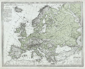
Europa.
$100.00
Acquire
- Digital Map Information
- Suitable for large format printing
- File Size: 1.84 MB
- File Type: ZIP / TIFF
- ICC color profile embedded
- Delivered instantly via download link
This fascinating 1862 map by Justus Perthes and Stieler depicts Europe's physical geography. Although major cities are labeled, political distinctions are not. Unlike other cartographic publishers of the period, the Justus Perthes firm, did not ... (more details)
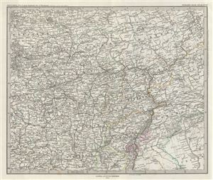
Ost-Europa, Bl. 4: Central - Russland.
$100.00
Acquire
- Digital Map Information
- Suitable for large format printing
- File Size: 10.68 MB
- File Type: ZIP / TIFF
- ICC color profile embedded
- Delivered instantly via download link
This is a beautiful example of Stieler's 1873 map of central Russia. It covers from the eastern part of Lake Ladoga east as far as Perm and south as far as Okhtyrka (Achtyrka), now in the Ukraine. Russia at this time was under the suzerainty of ... (more details)
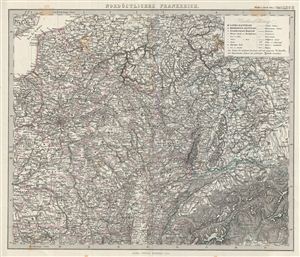
Nordostliches Frankreich.
$100.00
Acquire
- Digital Map Information
- Suitable for large format printing
- File Size: 13.27 MB
- File Type: ZIP / TIFF
- ICC color profile embedded
- Delivered instantly via download link
This is a beautiful example of Stieler's 1873 map of northeastern France. It covers from the english Channel to the Department of Creuse in Central France. Parts of neighboring Switzerland, Germany and Belgium are also included. A table of ... (more details)
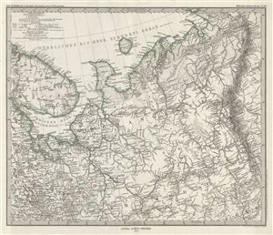
Ost-Europa, Bl. 2: Nordost - Russland.
$100.00
Acquire
- Digital Map Information
- Suitable for large format printing
- File Size: 10.83 MB
- File Type: ZIP / TIFF
- ICC color profile embedded
- Delivered instantly via download link
This is a beautiful example of Stieler's 1873 map of northern Russia. The map covers from the Arctic Sea south to the Onega Lake and Petrosawodsk and from the Gulf of Kandalaksa to the Ural Mountains. The Kolguyev Island, unexplored until ... (more details)
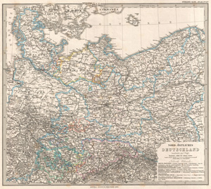
Nord-Ostliches Deutschland bearbeitet von C. Vogel.
$100.00
Acquire
- Digital Map Information
- Suitable for large format printing
- File Size: 13.47 MB
- File Type: ZIP / TIFF
- ICC color profile embedded
- Delivered instantly via download link
Extremely detailed 1873 map Prussia with relief shown by exquisite hachuring. Covers from Jutland south to Frankfort, and esat as far as Poland Plate 22 in Stieler's Hand Atlas 1875, published by Justus ... (more details)
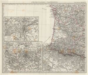
Sudwestliches Frankreich.
$100.00
Acquire
- Digital Map Information
- Suitable for large format printing
- File Size: 12.03 MB
- File Type: ZIP / TIFF
- ICC color profile embedded
- Delivered instantly via download link
This is a beautiful example of Stieler's 1873 map of southwest France. It covers from Vendee to the northern part of Spain. Two insets on the left detail Lyon and Paris. Map is densely detailed with ... (more details)
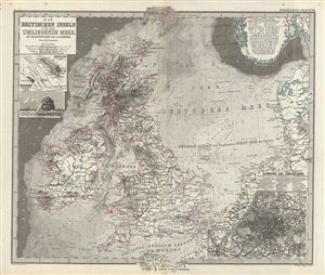
Die Britischen Inseln und das Umliegende Meer.
$150.00
Acquire
- Digital Map Information
- Suitable for large format printing
- File Size: 12.07 MB
- File Type: ZIP / TIFF
- ICC color profile embedded
- Delivered instantly via download link
This is a beautiful example of Stieler's 1873 map of the British Isles and its surrounding seas and one of the more attractive maps from this series. The map covers england, Wales, Scotland and ... (more details)
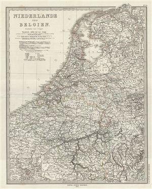
Niederlande und Belgien.
$100.00
Acquire
- Digital Map Information
- Suitable for large format printing
- File Size: 9.63 MB
- File Type: ZIP / TIFF
- ICC color profile embedded
- Delivered instantly via download link
This is a beautiful example of Stieler's 1873 map of Holland (the Netherlands) and Belgium. The map covers both countries from Friesland to Luxembourg. An inset in the lower left quadrant ... (more details)