
Schrämbl, Franz Anton (sold) (Schraembl)
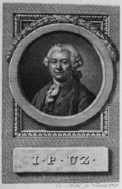
Franz Anton Schrämbl (Schraembl; 1751 - December 13, 1803) was a Vienna-based cartographer working in the later part of the 18th century. Schrämbl was born in Vienna. He became director of the normal school in Troppau but soon quit to set up a bookshop in Vienna. In 1787, with fellow Austrian Franz Johann Joseph von Reilly (1766 - 1820), he founded a publishing firm. He began his great work, the Allgemeiner Grosser Atlas, in the same year. This ambitious large format atlas was to be based upon only the most up-to-date cartographic information available, among them cartographers J. B. B. D'Anville (1697 - 1782) and James Rennel (1742 - 1830), and explorers such as James Cook (1728 - 1779), Charles Roberts (1739 - 1825), and others. The atlas was published in 1800 and became the first Austrian commercial world atlas. The work experienced minimal circulation, possibly due to its high cost. The low sales nearly drove Schrämbl into insolvency, but he recovered through diversification into literature and art books. When Franz Anton died in 1803, his widow Johanna and her brother, the engraver Karl Robert Schindelmayer (1769 - 1839), assumed control of the firm. In 1825, his son, Eduard Schrämbl, took over.
AKA: Schraembl
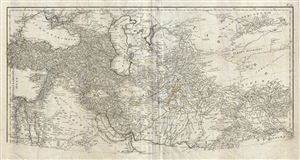
Erster Theil der Karte von Asien welche die Turkei, Arabien, Persien Indien diesseits des Ganges und einen Theil der Tatarei enthalt.
sold
- Digital Map Information
- Suitable for large format printing
- DPI: 300
- File Size: 25.39 MB
- File Type: ZIP / TIFF
- ICC color profile embedded
- Delivered instantly via download link
This is a highly detailed 1786 map of Persia and Arabia by the Austrian cartographer F. A. Scharembl. Representing the upper sheet of a larger map covering India, Persia and Arabia, this map, centered on Persia, covers from the Sea of Azov and Istanbul ... (more details)
Monumental map of Arabia, Persia and India based on D'Anville.
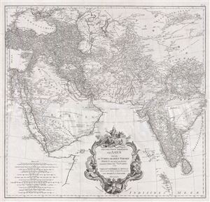
Erster Theil der Karte von Asien welche die Türkei, Arabien, Persien Indien diesseits des Ganges und einen Theil der Tatarei enthält.
sold
- Digital Map Information
- Suitable for large format printing
- DPI: 300
- File Size: 37.9 MB
- File Type: ZIP / TIFF
- ICC color profile embedded
- Delivered instantly via download link
A monumental and highly detailed 1786 map of India, Persia, and Arabia by the Austrian cartographer F. A. Scharembl. Centered on Persia, this map covers from Istanbul to eastern India and Tibet, and from the Black Sea to the Maldives. Schraembl ... (more details)
From the best sources.
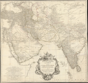
Erster Theil der Karte von Asien welche die Türkei, Arabien, Persien Indien diesseits des Ganges und einen Theil der Tatarei enthält.
sold
- Digital Map Information
- Suitable for large format printing
- DPI: 600
- File Size: 1087.81 MB
- File Type: ZIP / TIFF
- ICC color profile embedded
- Delivered instantly via download link
A striking 1786 separate-issue F. A. Schrämbl map of India, Persia, and Arabia. It is based upon the best cartographic sources of the era and was engraved for one of the first Austrian world atlases, Schrämbl's Allgemeiner Grosser Atlas. The present example is a separate issue likely predating the 1800 publication of the atlas. (more details)
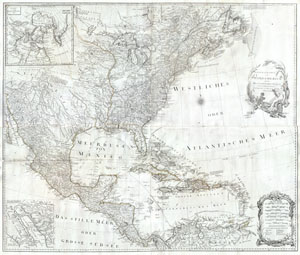
General Karte von Nord America samt den Westindischen Inseln Verfasst von Herrn Pownall
sold
- Digital Map Information
- Suitable for large format printing
- Full resolution TIFF file
- ICC color profile embedded
- Delivered instantly via download link
A rare and extraordinary post-colonial wall map of North America by Vienna map publisher Franz Anton Schraembal. Printed in 1788 for inclusion in Schraembal's Allgemeiner Grosser Atlas , this is one of the first maps issued to depict North ... (more details)
One of the best maps of the Mississippi and Ohio River Valleys issued after the Revolutionary War.
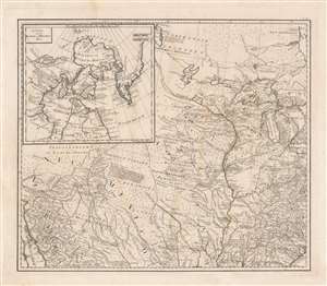
[Mississippi Valley].
sold
- Digital Map Information
- Suitable for large format printing
- DPI: 600
- File Size: 39.05 MB
- File Type: ZIP / TIFF
- ICC color profile embedded
- Delivered instantly via download link
This is the northwestern sheet from Franz Anton Schraembl's 1788 edition of Generalkarte von Nord America samt den Westindischen inseln depicting the central part of North America. Although derived from a larger wall map, the present map is a stand-alone piece and one of the first detailed maps of this region to appear after the American Revolutionary War (1775 - 1783). Concentrating on the Mississippi Valley, the map extends from the Gulf of California to the Pacific near Savannah, Georgia, and from Lake Winnipeg (Ouinpigon) to Mobile Bay. (more details)
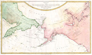
Karte von den N.W. Amerikanischen und N.OE. Asiatischen Kusten nach den Untersuchungen des Kapit. Cook in den Jah. 1778 und 1779
sold
- Digital Map Information
- Suitable for large format printing
- DPI: 300
- File Size: 7.16 MB
- File Type: ZIP / TIFF
- ICC color profile embedded
- Delivered instantly via download link
A rare German language variant of Cook's map of his explorations along the northwest coast of America and the northeast coast of Asia. Based upon original work by Cook's cartographer Henry Roberts. Depicts much of Siberia and Kamtschaka ... (more details)
Exceptional map from the First and Finest Austrian Atlas.
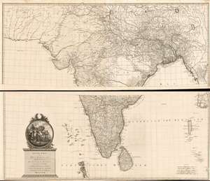
Neueste Karte von Hindostan Bengalen etc. etc. Mit der Anzeige der Strassen, Paesse, und genauester Eintheitung der britischen Besilzungen in Ostindien Verfasst von Herrn Jakob Rennell Ingenieur Major Neu herausgegeben von Herrn F.A. Schraembl. MDCCLXXXVIII.
sold
- Digital Map Information
- Suitable for large format printing
- DPI: 600
- File Size: 148.91 MB
- File Type: ZIP / TIFF
- ICC color profile embedded
- Delivered instantly via download link
This is Franz Anton Schrämbl's 1788 map of India. This scarce, magnificently-engraved map is a faithful rendition of James Rennell's masterful 1782 Map of Hindoostan, the finest 18th century map of the subcontinent, capturing the best surveys of India available during the period in which the British East India Company held sway. Rennell's work, based on the first scientific surveys of India, presented the region in a matchless degree of detail. By adopting this map as his source, Schrämbl was choosing the absolute state-of-the-art of India mapping. One of the first Austrian world atlases, Schrämbl's Allgemeiner Grosser Atlas presented the works of the best cartographers of the day: D'Anville, Kitchin, the Berlin Academy of Sciences and the St. Petersburg Academy of Sciences all shared the pages of this monumental work with Rennell. (more details)
Beautifully engraved map of the Cape of Good Hope showing early Dutch settlers.
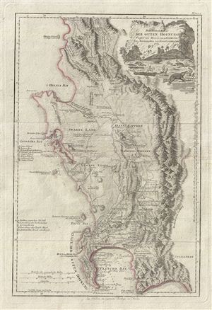
Das Vorgebirg der Guten Hofnung Verfasst von Herrn L.S. de la Rochette Neu Herausgegeben von Herrn. F.A. Schraembl.
sold
- Digital Map Information
- Suitable for large format printing
- DPI: 300
- File Size: 14.19 MB
- File Type: ZIP / TIFF
- ICC color profile embedded
- Delivered instantly via download link
An attractive example of Louis Stanislas d'Arcy Delarochette's important 1789 map of the Cape of Good Hope, South Africa. The map covers from the fictional Klipping Island and St. Helena Bay south as far as False Bay (Valsbaai), Cape ... (more details)
One of the very few maps to use the indigenous terms for Australia and New Zealand: Ulimaora (Australia), Tavai-Poenammoo (New Zealand South Island) and Ealiei-Nomauwe (North Island).
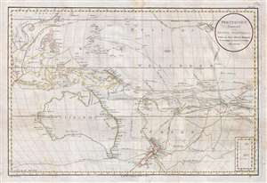
Polynesien (Inselwelt) oder der Funfte Welttheil Versasst von Herrn Daniel Djurberg.
sold
- Digital Map Information
- Suitable for large format printing
- DPI: 300
- File Size: 20.99 MB
- File Type: ZIP / TIFF
- ICC color profile embedded
- Delivered instantly via download link
This important 1789 map of Australia and Polynesia is one of the very few maps to use the indigenous terms for Australia and New Zealand: Ulimaora (Australia), Tavai-Poenammoo (New Zealand South Island) and Ealiei-Nomauwe (North ... (more details)
Ulimaroa - rare use of indigenous name for Australia.
Polynesien (Inselwelt) oder der Funfte Welttheil Versasst von Herrn Daniel Djurberg.
sold
- Digital Map Information
- Suitable for large format printing
- File Size: 29.62 MB
- File Type: ZIP / TIFF
- ICC color profile embedded
- Delivered instantly via download link
This important 1789 Djurberg map of Australia and Polynesia is one of the very few maps to use the Indigenous terms for Australia and New Zealand: Ulimaora (Australia), Tavai-Poenammoo (New Zealand South Island), and Ealiei-Nomauwe (North Island). All three of these terms are extracted from accounts of Capt. James Cook's epic voyages of discovery. (more details)
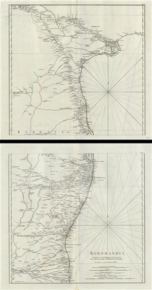
Koromandel.
sold
- Digital Map Information
- Suitable for large format printing
- Full resolution TIFF file
- ICC color profile embedded
- Delivered instantly via download link
This is a monumental and highly detailed map 1789 map of the Coromandel Coast, India by F. A. Schraembl. This map, on two separate sheets, covers the southeastern coast of India from Nagapattinam (Nega-Patnam) north as far as ... (more details)
The Anglo-French rivalry over Coromandel.
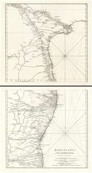
Koromandel.
sold
- Digital Map Information
- Suitable for large format printing
- Full resolution TIFF file
- ICC color profile embedded
- Delivered instantly via download link
This is a monumental and highly detailed map 1789 map of the Coromandel Coast, India by Franz Anton Schrämbl. This map, on two separate sheets, covers the southeastern coast of India from Nagapattinam (Nega-Patnam) north as far as Narsapur and inland as far as Tiruchirappalli and Hyderabad. Schrämbl derived this map from the influential French cartographer Jean-Baptiste Bourguignon d' Anville's similar map of 1753, which here has been re-engraved, updated, and translated into German. It offers excellent coverage of the Coromandel Coast of India naming port cities, including Chennai (Madras), Nagappattinam (Negapatam), Puducherry (Pondicherry), Pazhaverkadu (Pulicat), etc. Several important rivers, towns, villages, roads and other topographical features are also noted throughout. Mountain ranges are rendered in profile. (more details)
Earliest Accurate Map of Yemen, Source of the World's Coffee
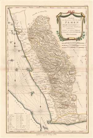
Karte von dem Groessten Theil des Landes Jemen, Imame, Kaukeban et C.
sold
- Digital Map Information
- Suitable for large format printing
- Full resolution TIFF file
- ICC color profile embedded
- Delivered instantly via download link
This 1789 Franz Anton Schraembl map of the southwestern part of the Arabian Peninsula is the first printed map specifically of Yemen, and the earliest map to be based on actual exploration of this region. It is derived from data collected by the German mathematician Carsten Niebuhr, who was the sole survivor of the Danish Arabia Expedition (1761-67). The map covers what is now the western part of Yemen and the southwestern extents of Saudi Arabia. Many recognizable place names are shown with accuracy. The ports of Aden and Mocha appear, and do Al Hudaydah, Al Luhayyah, and the Red Sea islands of Kameran, Jazirat Jabel Zuqar, and Perim Island. More impressively (considering that Europeans seldom ventured further than the coast), Sana'a and Damar, Yarim and Taizz are accurately placed, along with many other towns, cities and wadis. Abu Arish, in Saudi Arabia is shown as well. The topography of the inland regions is indicated with hachures. A table in the lower left gives the precise latitude of key cities for ease in location. (more details)