
Survey of India
Survey of India (1767 - Present) is India's central engineering agency in charge of mapping and surveying the country. It was founded in 1767 by Major James Rennell, who took the post of first Surveyor General, with the mission to map and consolidate the territories of the British East India Company. The Survey undertook the Great Trigonometrical Survey between 1802 and 1852 in an attempt to accurately measure the Indian Subcontinent - considered one of the greatest feats of mapping of all time. It also sponsored clandestine surveys, at times disguised as Buddhist pilgrims, to infiltrate and map Tibet, then a closed country. With India's independence in 1947, the Survey was folded into the new Indian government, which it remains part of to this day.
A Remarkable Survival: an in-house Indian Survey map compiling manuscript results from contemporaneous exploration.
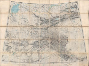
[Turkestan with the adjoining portions of the British and Russian territories.]
$3,500.00
Acquire
- Digital Map Information
- Suitable for large format printing
- File Size: 115.78 MB
- File Type: ZIP / TIFF
- ICC color profile embedded
- Delivered instantly via download link
This monumental c. 1869 British intelligence map from the height of the Great Game details the southern frontier of the Russian Empire in Asia, extending southwards to the British sphere of influence in Afghanistan, the Punjab, and Kashmir. This represented the primary theatre of the Great Game - the struggle for control in Central Asia between Russia and the British Empire. The map includes numerous manuscript annotations and updates, including records of George Hayward's ill-fated reconnaissance (spy) mission into the Pamirs. (more details)
The Great Game: Competition and Cooperation.
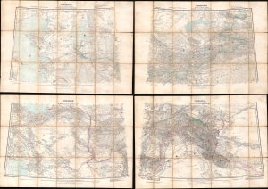
Turkestan and the countries between the British and the Russian Dominions in Asia.
$1,800.00
Acquire
- Digital Map Information
- Suitable for large format printing
- Full resolution TIFF file
- ICC color profile embedded
- Delivered instantly via download link
This is a fascinating 1879 map of Central Asia, divided into four large folding sheets, produced by G.W.E. Atkinson, a British Survey of India expert on Tibet, the Himalayas, and Central Asia. It was produced at the height of the 'Great Game' and intended for use by the government and military of British India. This map provides unique insight into the collaborative process of Russian and British surveyors operating in Central Asia despite ongoing political conflict. (more details)
'Confidential' detailed map of Nepal caught between empires.
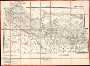
Nepal, with part of Tibet: N[orthern] T[rans] F[rontier] Sheets No. 15. 16. 22. 23.
$5,500.00
Acquire
- Digital Map Information
- Suitable for large format printing
- File Size: 261.1 MB
- Full resolution TIFF file
- ICC color profile embedded
- Delivered instantly via download link
This is a rare 1892 large-format dissected folding map of Nepal and nearby territories produced by the Survey of India. It is the first edition of the most complete and accurate 19th-century survey of Nepal, far exceeding earlier maps in detail and comprehensiveness. Produced during a period of inter-imperial competition in the Himalayas, this map is a product of equal parts espionage and exploration. (more details)
Fortifying the Frontier.
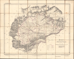
District Peshawar.
$2,000.00
Acquire
- Digital Map Information
- Suitable for large format printing
- File Size: 41.59 MB
- File Type: ZIP / TIFF
- ICC color profile embedded
- Delivered instantly via download link
A scarce folding map of Peshawar and environs, originally published in 1884 by the Survey of India and here updated to 1906. It presents the region as it was solidified as the frontline of the British Raj and a buffer zone between India and Afghanistan. (more details)
British Plan to 'Link India and the Yangtze.'
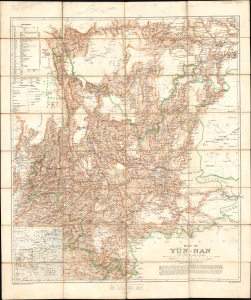
Map of Yün-nan. Topographical Section General Staff, No. 2112.
$2,750.00
Acquire
- Digital Map Information
- Suitable for large format printing
- File Size: 69.49 MB
- File Type: ZIP / TIFF
- ICC color profile embedded
- Delivered instantly via download link
This large folding map of Yunnan Province, China, was prepared by British military officer H. R. Davies in 1906 for the War Office. It was the culmination of years of travel and research by Davies, aimed in particular at planning a British railway to Yunnan that could compete with the French Kunming-Haiphong Railway, then under construction. Davies' map represented a major advancement in the cartography of Yunnan at a time when the province was being eyed by both the British and French as an entry point into China and a link with their wider Asian empires. (more details)
Languages on the roof of the world.
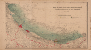
Map of the Dialects of the Tibetan Language, the Himalayan Tibeto-Burman dialects, and the North Assam Group.
$500.00
Acquire
- Digital Map Information
- Suitable for large format printing
- Full resolution TIFF file
- ICC color profile embedded
- Delivered instantly via download link
A fascinating linguistic map of the Himalayas, focusing on Nepal, Sikkim, Bhutan, and environs, produced in 1908 by the Survey of India when Nepal was still closed to foreign visitors. It provides insight into the cultural and linguistic complexity of the Himalayas, which at the time formed the furthest edge of the British Empire's influence in Inner Asia. (more details)
Indian Army's Showcase Campaign in the Great War.
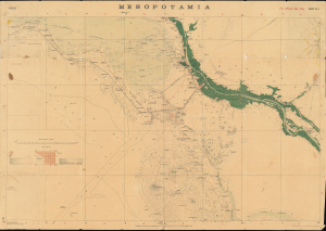
Mesopotamia. Sheet No. 1. Basrah. No.888 D.D.D. 1917 (2.D.O.) S.I. 2000.
$3,500.00
Acquire
- Digital Map Information
- Suitable for large format printing
- Full resolution TIFF file
- ICC color profile embedded
- Delivered instantly via download link
This is a rare 1917 Survey of India map focusing on the key strategic regions of Basra-Zubair in south-eastern Iraq and the adjacent Khorramshahr area of Persia, and it is one of the first maps to show Abadan, the first oil boomtown of the Middle East. It was also a showcase theater for the employment of units of the Indian Army, whose officers were given charge of the campaign at the beginning of the war. (more details)
Colonial warfare in one of the British Empire's frontiers.
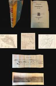
Operations in Waziristan 1919 - 1920. Confidential. Serial No. 224.
$1,400.00
Acquire
- Digital Map Information
- Suitable for large format printing
- Full resolution TIFF file
- ICC color profile embedded
- Delivered instantly via download link
This is the official 1921 confidential report on the British-Indian military campaign to Waziristan (1919 - 1920), compiled and published by the General Staff Army Headquarters in India, with maps produced by the Survey of India. The volume offers a comprehensive and rare account of the campaign and is essential for understanding British military strategy on the tumultuous Afghan frontier. (more details)
A large possibly one of a kind linen backed map of two districts in Kashmir, India.
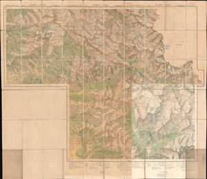
Kashmir and Jammu. Anantnag and Baramula Districts.
$1,000.00
Acquire
- Digital Map Information
- Suitable for large format printing
- File Size: 124.76 MB
- File Type: ZIP / TIFF
- ICC color profile embedded
- Delivered instantly via download link
This is a large 1929 Survey of India topographic map of Anantnag and Baramula Districts in Jammu and Kashmir, India. Dissected and mounted on its original linen from what appears to be a least two separately issued sheets, the map depicts the region from Kanzdor to the Lokut Gumbur Nar and from Bajrathar to Shar and Purmandal. Mountain passes are identified, as are 'temporary huts' and other landmarks. Forests are shaded green and are labeled. Roads of varying grades are also marked, along with foot paths and mineral lines. Glaciers are shaded a blueish-white and have blue dashed lines crossing their expanse. Several keys along the bottom border explain the different notations used. (more details)
First survey of Nepal conducted by an all-Indian team.
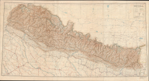
Nepāl.
$6,000.00
Acquire
- Digital Map Information
- Suitable for large format printing
- File Size: 112.25 MB
- File Type: ZIP / TIFF
- ICC color profile embedded
- Delivered instantly via download link
A striking 1934 Survey of India wall map of Nepal. This is the 'first edition' of the first trigonometrical survey of Nepal, completed by the all-Indian Nepal Detachment of the Survey of India at a time when Nepal was still closed to foreigners under the Rana Dynasty's isolation policy. It is a mapmaking triumph considered the world's first serious look at the interior cartography of Nepal. The map was issued in the wake of the 1934 Great Bihar-Nepal Earthquake, an 8.0 magnitude earthquake considered one of the most destructive in history. (more details)
Khyber Pass during the Mohmand Campaign of 1935.
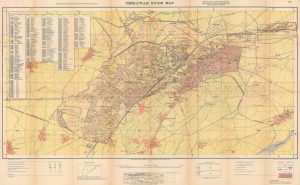
Peshāwar Guide Map.
$1,750.00
Acquire
- Digital Map Information
- Suitable for large format printing
- Full resolution TIFF file
- ICC color profile embedded
- Delivered instantly via download link
An intriguing and evocative piece, this is a 1935 first-edition Survey of India map of Peshawar, Pakistan. This is likely the earliest scientific survey of Peshawar, following the 1927 Survey of India map of Peshawar City, which did not include the Cantonment. The map was issued during the Second Mohmand Campaign, a major British offensive out of Peshawar against the Pashtun Mohmand hill tribes of the Khyber Pass. (more details)
The Foothills of the Himalayas.
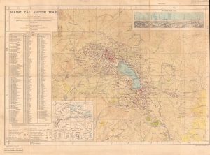
Naini Tāl Guide Map.
$1,500.00
Acquire
- Digital Map Information
- Suitable for large format printing
- File Size: 40.36 MB
- File Type: ZIP / TIFF
- ICC color profile embedded
- Delivered instantly via download link
An impressive 1938 topographical city plan or map of Nainital in the United Provinces of India (now Uttarakhand) produced by the Survey of India. It presents the steep topography of the area at the foothills of the Himalayas as well as structures throughout the city. (more details)
Guarding the Frontier.
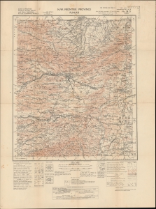
N.W. Frontier Province. Punjab. Kohat and Peshawar Districts, Khyber Agency and Tribal Territories. Attock and Mianwali Districts.
$1,500.00
Acquire
- Digital Map Information
- Suitable for large format printing
- File Size: 23.69 MB
- File Type: ZIP / TIFF
- ICC color profile embedded
- Delivered instantly via download link
A highly-detailed 1942 zincographed Survey of India map of parts of modern Pakistan, including what was then the North-West Frontier Province of British India and Punjab. It was made during the World War II (1939 - 1945) and reflects both the wartime situation, including both the war against Japan and the British attempt to retain control of India. (more details)
A remarkably detailed survey map of India's Himalayan foothills.
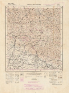
United Provinces. No. 53 O Naini Tal. Almora, Garhwal, Moradabad and Naini Tal Districts and Rampur State.
$1,000.00
Acquire
- Digital Map Information
- Suitable for large format printing
- File Size: 56.23 MB
- File Type: ZIP / TIFF
- ICC color profile embedded
- Delivered instantly via download link
An impressive 1943 zincographic Survey of India map of Nainital (here as Naini Tal) and environs in the United Provinces (now Uttarakhand). This picturesque region lies in the foothills of the Himalayas in northern India, near Nepal's western border with India. (more details)
Pacifying the Northwest?
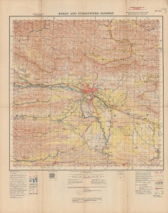
Kohat and surrounding country.
$1,200.00
Acquire
- Digital Map Information
- Suitable for large format printing
- File Size: 35.94 MB
- File Type: ZIP / TIFF
- ICC color profile embedded
- Delivered instantly via download link
A wartime production, this Survey of India map of Kohat and environs, now in northwestern Pakistan, was published in 1944. The noticeable presence of British military forces in and around Kohat is testament not only to fighting during World War II (1939 - 1945), but also to a long history of regional unrest. (more details)