

Chart No. 10 Boston Bay and Approaches.
sold
- Digital Map Information
- Suitable for large format printing
- File Size: 26.29 MB
- File Type: ZIP / TIFF
- ICC color profile embedded
- Delivered instantly via download link
A rare 1866 costal chart of Boston Bay, Boston Harbor, and environs. Covers the Massachusetts coastline from Cape Ann southward past Gloucester, Marblehead, Lynn, Boston and Cohasset to Green Harbor River. Offers astounding inland detail noting individual ... (more details)

Mappe-Monde ou Description du Globe Terrestre, Assujettie aux Observations Astronomiques.
sold
- Digital Map Information
- Suitable for large format printing
- DPI: 300
- File Size: 8.18 MB
- File Type: ZIP / TIFF
- ICC color profile embedded
- Delivered instantly via download link
A beautiful and impressive map of the world drawn by Jean Janvier in 1775. Depicts the entire world on a double hemisphere projection. North America appears with a fair approximation of accuracy though the western and northwestern regions remain either ... (more details)
Manuscript map of the historic Five Points.

Collect Pond.
sold
- Digital Map Information
- Suitable for large format printing
- DPI: 300
- File Size: 4.9 MB
- File Type: ZIP / TIFF
- ICC color profile embedded
- Delivered instantly via download link
This is a one of a kind early 19th century manuscript map of the New York City's Collect Pond or Five Points region. Cover's parts of southern Manhattan between Broadway and Cross Street, including Leonard Street, Anthony Street, Elm Street, Pearl ... (more details)

A New Map of Italy, including The Island of Sicily, Sardinia and Corsica with the Post Roads from the latest Authorities.
sold
- Digital Map Information
- Suitable for large format printing
- Full resolution TIFF file
- ICC color profile embedded
- Delivered instantly via download link
An exceptionally beautiful example of John Cary's important 1799 Map of Italy. Includes the peninsula of Italy as well as the islands of Corsica, Sardinia and Sicily. Extends north as far as Switzerland and Tyrol. When this map was made Italy ... (more details)

A New Map of Hindoostan, from the latest authorities.
sold
- Digital Map Information
- Suitable for large format printing
- DPI: 300
- File Size: 15.4 MB
- File Type: ZIP / TIFF
- ICC color profile embedded
- Delivered instantly via download link
An exceptionally beautiful example of John Cary's important 1806 Map of India. Covers India in extraordinary detail from Kabul and Kashmir south to Ceylon or Sri Lanka. Extends east as far as Burma and west into Persia. Based on Rennell's late ... (more details)
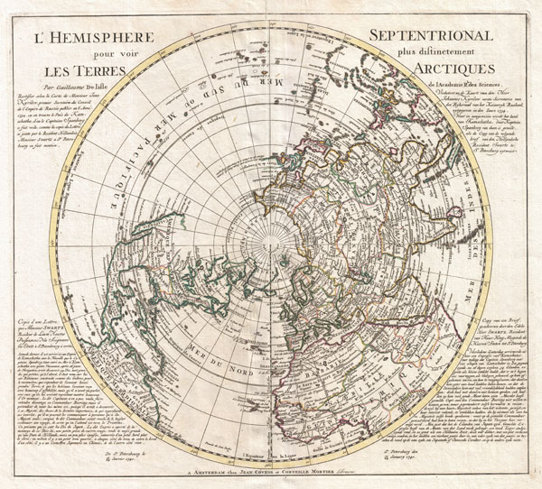
L'Hemisphere Septentrional pour voir pllus distinctement Les Terre Arctiques.
sold
- Digital Map Information
- Suitable for large format printing
- DPI: 300
- File Size: 14.46 MB
- File Type: ZIP / TIFF
- ICC color profile embedded
- Delivered instantly via download link
This is a stunning and important map of the Northern Hemisphere originally drawn by Guillaume de L'Isle in 1714 and updated by Coven's and Mortier in 1741. Covers from the North Pole south in all directions to include the Arctic Regions, all of ... (more details)
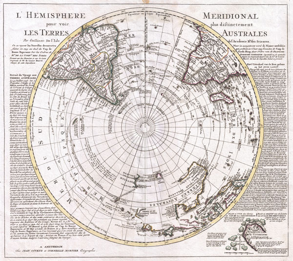
L'Hemisphere Meridional pour voir plus distinctement Les Terres Australes.
sold
- Digital Map Information
- Suitable for large format printing
- DPI: 300
- File Size: 14.78 MB
- File Type: ZIP / TIFF
- ICC color profile embedded
- Delivered instantly via download link
This is a stunning map of the Southern Hemisphere originally drawn by Guillaume de L'Isle and updated in 1739 by Covens and Mortier. Extends from the South Pole northwards in all directions as far as the Equator, encompassing in the process ... (more details)
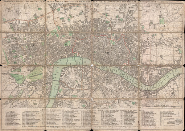
BOWLES'S Reduced NEW POCKET PLAN of the CITIES of LONDON and WESTMINSTER, with the BOROUGH of SOUTHWARK, exhibiting the NEW BUILDINGS to the YEAR 1795.
sold
- Digital Map Information
- Suitable for large format printing
- DPI: 300
- File Size: 15.85 MB
- File Type: ZIP / TIFF
- ICC color profile embedded
- Delivered instantly via download link
This is a rare 1795 folding pocket map or street plan of London, England by Carrington Bowles. Covers London on both sides of the Thames River from Hyde Park in the west to White Horse Street in the East and from Lambeth in the south to ... (more details)

Gudfeite von New=York und Brooflyn mit der projeftirten Rettenbrude.
sold
- Digital Map Information
- Suitable for large format printing
- File Size: 41.7 MB
- File Type: ZIP / TIFF
- ICC color profile embedded
- Delivered instantly via download link
This is an unusual c. 1883 view of New York City looking south from the Soho area towards Brooklyn, the Brooklyn Bridge, Staten Island, the East River, and New York Harbor. Numerous ships sail on the East River as it flows under the ... (more details)
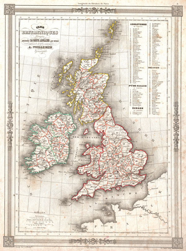
Iles Britanniques Dresees d'appres La Carte Anglaise de Wild.
sold
- Digital Map Information
- Suitable for large format printing
- DPI: 300
- File Size: 4.56 MB
- File Type: ZIP / TIFF
- ICC color profile embedded
- Delivered instantly via download link
An uncommon and attractive 1852 map of the British Isles by A. Vuillemin. Details England, Scotland and Ireland as well as parts of neighboring France. Based on an earlier map by the English mapmaker Wild. Upper right corner ... (more details)

Hauteur au Dessus de la Mer, Des Points Les Plus Eleves des Principles Chaines de Montagnes.
sold
- Digital Map Information
- Suitable for large format printing
- DPI: 300
- File Size: 5.47 MB
- File Type: ZIP / TIFF
- ICC color profile embedded
- Delivered instantly via download link
An uncommon and attractive 1852 chart by J. G. Barbie du Bocage. Shows the relative elevations of the world's great mountains. Divided according to continent. Features a beautiful frame style border. Prepared by J. G. ... (more details)

Tableau IndiquantLa Longueur des Principaux Fleuves et la Hauteur de Quelques Chutes.
sold
- Digital Map Information
- Suitable for large format printing
- Full resolution TIFF file
- ICC color profile embedded
- Delivered instantly via download link
An uncommon and attractive 1852 chart by J. G. Barbie du Bocage. Shows the relative lengths of the world's great rives and the heights of the world's great waterfalls. Divided according to continent. Features a ... (more details)

Tableau Uranographique et Cosmographique.
sold
- Digital Map Information
- Suitable for large format printing
- DPI: 300
- File Size: 3.94 MB
- File Type: ZIP / TIFF
- ICC color profile embedded
- Delivered instantly via download link
An uncommon and attractive 1852 Astronomical and Cosmographical chart by M. Vuillemin. Includes numerous charts showing the Ptolemaic planetary system, the modern planetary system, the Lunar system the seasons, ... (more details)

Carte de L'Europe
sold
- Digital Map Information
- Suitable for large format printing
- Full resolution TIFF file
- ICC color profile embedded
- Delivered instantly via download link
An uncommon and attractive 1852 map of Europe by J. G. Barbie du Bocage. Details all of Europe including Iceland as well as parts of Asia and Africa. Shows the Austrian Empire at its height, the many states ... (more details)

Mappemonde en deux Hemispheres.
sold
- Digital Map Information
- Suitable for large format printing
- DPI: 300
- File Size: 14.82 MB
- File Type: ZIP / TIFF
- ICC color profile embedded
- Delivered instantly via download link
An uncommon and extremely attractive 1848 map of the world in hemispheres by J. G. Barbie du Bocage. Shows U.S. claims to British Columbia. Australia is labeled 'Nouvelle Hollande' and 'inconnus.' Africa to ... (more details)
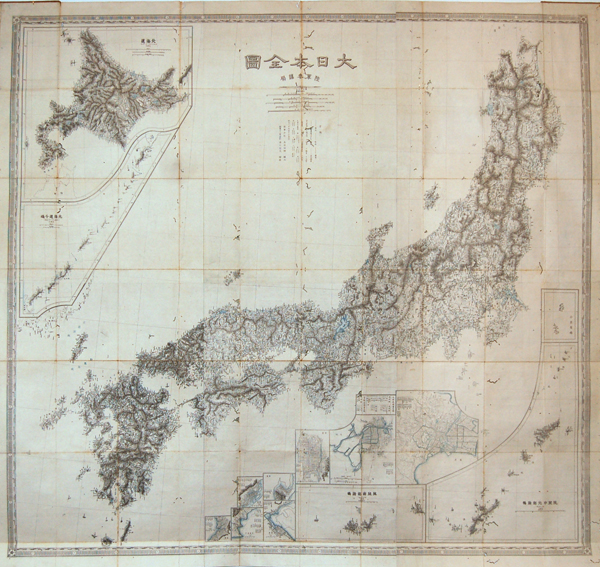
Japan.
sold
- Digital Map Information
- Suitable for large format printing
- File Size: 3.23 MB
- File Type: ZIP / TIFF
- ICC color profile embedded
- Delivered instantly via download link
This is a stunning Meiji 11 or 1878 pocket or folding map of Japan. Based on survey work performed by the legendary Ino Tadataka during the Edo Period, this map reflects the stunning detail inherent to ... (more details)

Holland and Belgium.
sold
- Digital Map Information
- Suitable for large format printing
- DPI: 300
- File Size: 10.26 MB
- File Type: ZIP / TIFF
- ICC color profile embedded
- Delivered instantly via download link
An attractive example of S. A. Mitchell Sr.'s 1850 map of Holland and Belgium. Depicts both countries color coded according to individual departments. Includes Luxembourg. Surrounded by the green ... (more details)
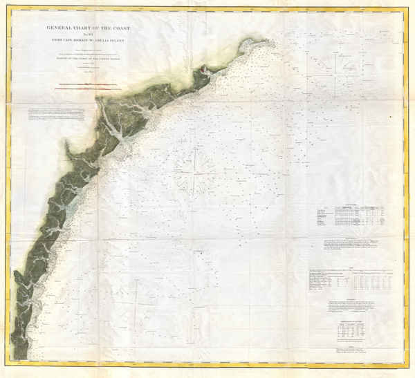
General Chart of the Coast No. VII From Cape Romain to Amelia Island.
sold
- Digital Map Information
- Suitable for large format printing
- File Size: 93.05 MB
- File Type: ZIP / TIFF
- ICC color profile embedded
- Delivered instantly via download link
This is the U.S. Coast Survey's 1874 map or chart of the coast of South Carolina, Georgia and parts of Florida. Covers from Cape Romain south past Charleston, Beaufort, and Savannah to Amelia ... (more details)
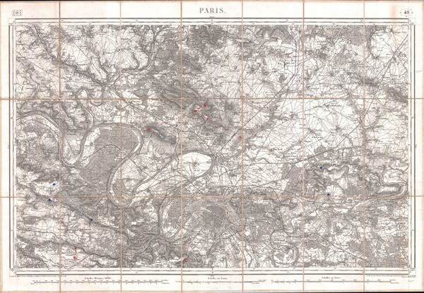
Paris.
sold
- Digital Map Information
- Suitable for large format printing
- DPI: 300
- File Size: 118.53 MB
- File Type: ZIP / TIFF
- ICC color profile embedded
- Delivered instantly via download link
An extremely attractive mid 19th century military pocket map of Paris and its northern environs. Covers from Versailles north as far as Orry, also extends westward along the Seine to Meulan ... (more details)

Nuove Scoperte De'Russi al Nord del Mare del Sud si nell'Asia, che nell'America
sold
- Digital Map Information
- Suitable for large format printing
- DPI: 300
- File Size: 6.68 MB
- File Type: ZIP / TIFF
- ICC color profile embedded
- Delivered instantly via download link
A stunning example of Antonio Zatta's 1776 map of the northwestern parts of America and the northeastern parts of Asia. This map is one of the most sought after and decorative 18th century pre-Cook maps of the Pacific Northwest. The map covers the region from the Hudson Bay and the Great Lakes westward as far as Siberia and Japan, north well into the Arctic, and southwards as far as Cabo San Lucas in Baja California. In this stunning map, Zatta, combining almost every 17th and 18th century myth and fact of the American west into a single map, offers up a veritable smorgasbord of speculative geography. (more details)