

Burma.
sold
- Digital Map Information
- Suitable for large format printing
- File Size: 24.52 MB
- File Type: ZIP / TIFF
- ICC color profile embedded
- Delivered instantly via download link
A stunning large format Japanese map of Burma dating to World War II. Covers the entirety of the country with color coding according to district. Offers superb detail regarding both topographical and political elements. Notes cities, roads, trade routes on air, ... (more details)

Australia.
sold
- Digital Map Information
- Suitable for large format printing
- File Size: 26.57 MB
- File Type: ZIP / TIFF
- ICC color profile embedded
- Delivered instantly via download link
A stunning large format Japanese map of Australia dating to World War II. Covers the entirety of the continent with color coding according to district. Offers superb detail regarding both topographical and political elements. Notes cities, roads, trade routes ... (more details)

Java.
sold
- Digital Map Information
- Suitable for large format printing
- File Size: 28.61 MB
- File Type: ZIP / TIFF
- ICC color profile embedded
- Delivered instantly via download link
A stunning large format Japanese map of Java dating to World War II. Covers the entirety of the island with a large inset city plan of Jakarta (Djakarta) in the lower left quadrant. Offers superb detail regarding both topographical and political elements. ... (more details)
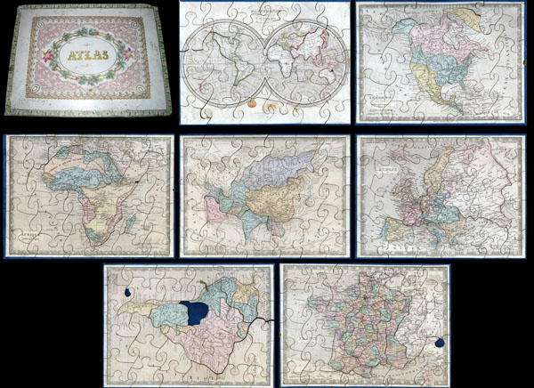
Atlas.
sold
A very attractive an unusual c. 1850 jigsaw puzzle atlas published by Auguste Logerot. Consists a custom box of seven interesting jigsaw puzzle maps: the World, North America, South America, Europe, Asia, Africa and France. Each map is mounted on a board ... (more details)
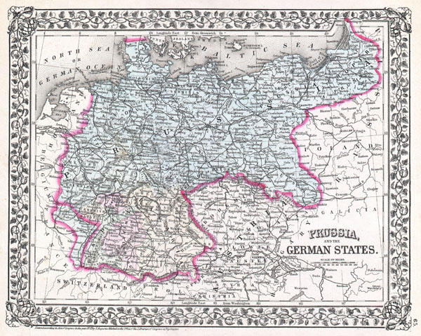
Prussia and the German States.
sold
- Digital Map Information
- Suitable for large format printing
- File Size: 7.36 MB
- File Type: ZIP / TIFF
- ICC color profile embedded
- Delivered instantly via download link
A beautiful example of S. A. Mitchell Jr.'s 1872 map of Prussia and the German States issued shortly after the end of the Franco-Prussian War in 1871. Denotes both political and geographical details. Divided according to regions and highlighted with ... (more details)
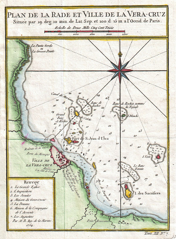
Plan de la Rade et Ville de la Vera-cruz. Situee par 19. deg. 10 min. de Lat. Sep. et 100 d. 15 m. a l'Occid de Paris.
sold
- Digital Map Information
- Suitable for large format printing
- DPI: 300
- File Size: 2.17 MB
- File Type: ZIP / TIFF
- ICC color profile embedded
- Delivered instantly via download link
This hand colored map is a c. 1754 map of the Veracruz, Mexico. Attributed to French cartographer Jacques-Nicholas Bellin, this map was issued for the French edition of Provost's Histoire des Voyages…. Beautifully rendered mountains and coastlines ... (more details)

Prussia & Saxony.
sold
- Digital Map Information
- Suitable for large format printing
- File Size: 9.2 MB
- File Type: ZIP / TIFF
- ICC color profile embedded
- Delivered instantly via download link
A beautiful 1855 first edition example of Colton's map of Prussia and Saxony. Like most of Colton's europe maps, this map was derived from an earlier wall map of the world produced by Colton and D. Griffing Johnson. The map covers what is today ... (more details)

The City and Valley of the Great Salt Lake, Utah
sold
- Digital Map Information
- Suitable for large format printing
- File Size: 15.95 MB
- File Type: ZIP / TIFF
- ICC color profile embedded
- Delivered instantly via download link
A handsome view of Salt Lake City, Utah from the August 1866 issue of Harper's Weekly. Offers a panoramic view of the city as well as six smaller views of important Salt Lake City buildings, including the Tithing Office, The Tabernacle, the ... (more details)

The City of Richmond, Virginia.
sold
- Digital Map Information
- Suitable for large format printing
- File Size: 10.41 MB
- File Type: ZIP / TIFF
- ICC color profile embedded
- Delivered instantly via download link
This is a rare and attractive view of Richmond Virginia printed in the May 1862 edition of Harper's Weekly . Shows Richmond shortly after it was seized by the Union Army near end of the Peninsular Campaign during the American Civil War. ... (more details)
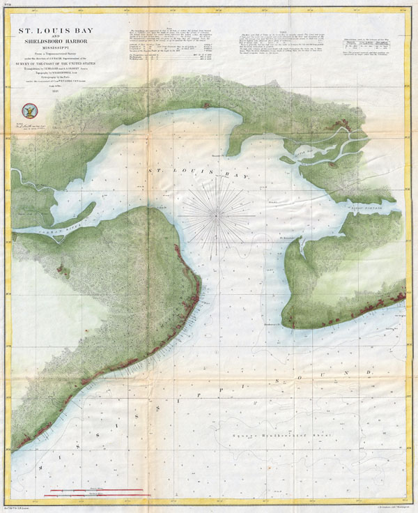
St. Louis Bay and Shieldsboro Harbor Mississippi.
sold
- Digital Map Information
- Suitable for large format printing
- File Size: 16.67 MB
- File Type: ZIP / TIFF
- ICC color profile embedded
- Delivered instantly via download link
An attractive hand colored 187 U.S. Coast Survey triangulation chart or map of St. Louis Bay, Mississippi. Details the area around St Louis Bay including the town of Shieldsboro (modern St. Louis Bay) and Pass Christian, Mississippi. ... (more details)
One of the most beautiful cartographic representations of Southeast Asia ever printed.
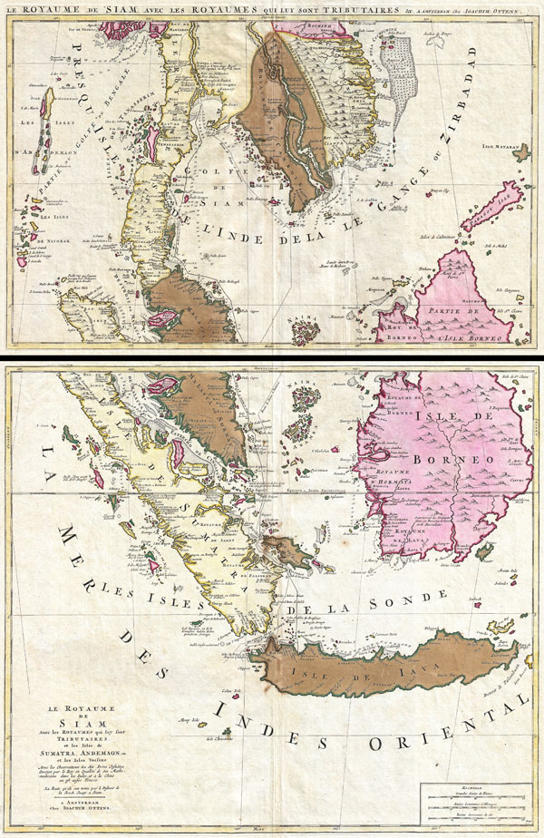
Le Royaume de Siam avec Les Royaumes Qui Luy sont Tributaries & c. / La Royaume de Siam avec les royaumes qui luy sont Tributaires, et les Isles de Sumatra, Andemaon, etc. Et les Isles Voisine Aven les Observations des Six Peres Jesuites Envojez par le Roy en Qualite de Ses Mathe : maticiens dans les Indes, et a laChine ou est aussi Tracee. La Route Qu'ils ont teniie par le Destroit de la Sonde Jusqu a Siam.
sold
- Digital Map Information
- Suitable for large format printing
- DPI: 300
- File Size: 31.05 MB
- File Type: ZIP / TIFF
- ICC color profile embedded
- Delivered instantly via download link
A fine example of Joachim Ottens' magnificent two part c. 1710 map of the Kingdom of Siam and its tributaries. Covers much of Southeast Asia and the East Indies including modern day Thailand, southern Vietnam, Cambodia, Malaysia, ... (more details)

Preliminary Chart of Entrance to San Francisco Bay California.
sold
- Digital Map Information
- Suitable for large format printing
- File Size: 21.94 MB
- File Type: ZIP / TIFF
- ICC color profile embedded
- Delivered instantly via download link
A fine example of the 1856 U.S. Coast Survey chart of San Francisco Bay. Covers the Golden Gate area, the Marin Peninsula, San Francisco, Mission de Dolores, and the eastern coastline from Brooks Island to San Antonio Creek. ... (more details)
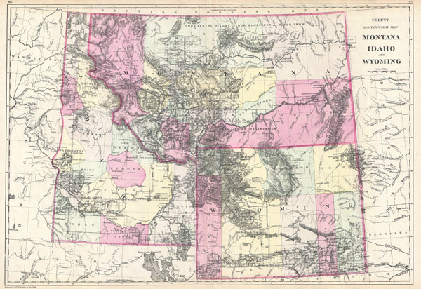
County and Township Map Montana Idaho and Wyoming.
sold
- Digital Map Information
- Suitable for large format printing
- File Size: 13.07 MB
- File Type: ZIP / TIFF
- ICC color profile embedded
- Delivered instantly via download link
This is the rare 1884 Bradley / Mitchell map of Montana, Idaho, and Wyoming. Covers the territories of Montana, Wyoming, and Idaho in considerable detail with color coding according to counties. Shows American Indian lands, ... (more details)
Important Moon map made for the Apollo 11 Lunar Landing.

Engineer Special Study of the Surface of the Moon, Lunar Rays.
sold
- Digital Map Information
- Suitable for large format printing
- File Size: 72.7 MB
- File Type: ZIP / TIFF
- ICC color profile embedded
- Delivered instantly via download link
A 1961 landmark study of the Moon made by the U.S. Geological Survey in preparation for the Apollo 11 Lunar Landing Mission. Represents the near side of the Moon on a scale of 1:3,800,000. This spectacular monumentally ... (more details)
Important Moon map made for the Apollo 11 Lunar Landing.

Engineer Special Study of the Surface of the Moon, Physiographic Divisions of the Moon.
sold
- Digital Map Information
- Suitable for large format printing
- File Size: 67.93 MB
- File Type: ZIP / TIFF
- ICC color profile embedded
- Delivered instantly via download link
A 1961 landmark study of the Moon made by the U.S. Geological Survey in preparation for the Apollo 11 Lunar Landing Mission. Represents the near side of the Moon on a scale of 1:3,800,000. This spectacular monumentally ... (more details)
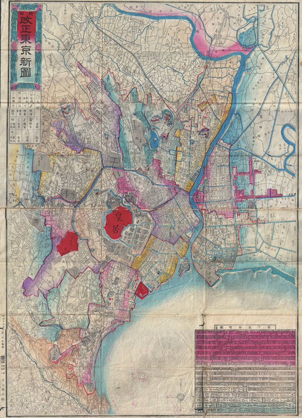
Revised New Tokyo Map (vertical projection).
sold
- Digital Map Information
- Suitable for large format printing
- File Size: 27.8 MB
- File Type: ZIP / TIFF
- ICC color profile embedded
- Delivered instantly via download link
A rare and unusual Japanese map of Tokyo made in the 19th year of the Emperor Meiji's reign or 1886. Depicts the imperial city in considerable detail with streets, blocks, waterways, and important buildings noted. ... (more details)

World.
sold
- Digital Map Information
- Suitable for large format printing
- File Size: 54.79 MB
- File Type: ZIP / TIFF
- ICC color profile embedded
- Delivered instantly via download link
An exceedingly rare find. This is a Japanese map of the world dated to the 8th year of the Emperor's Meiji's reign, or 1897. Depicts the entire world on a hemisphere projection with smaller polar projections in ... (more details)

Kyoto.
sold
- Digital Map Information
- Suitable for large format printing
- Full resolution TIFF file
- ICC color profile embedded
- Delivered instantly via download link
A rare and extraordinary 1696 Japanese woodblock map of Kyoto, Japan. Made in the early Edo period during the 9th year of the reign of the Emperor Genroku. Covers the city of Kyoto and its immediate vicinity. ... (more details)
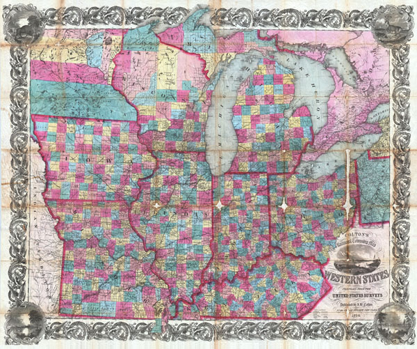
Colton's Railroad & Township Map of the Western States compiled from the United States Surveys.
sold
- Digital Map Information
- Suitable for large format printing
- Full resolution TIFF file
- ICC color profile embedded
- Delivered instantly via download link
An extremely attractive example of Colton's 1854 pocket map format railroad and township map of the Western States. Covers the states of Ohio, Kentucky, Illinois, Indiana, Missouri Iowa Michigan and Wisconsin ... (more details)
A gore from one of the greatest globes ever made.
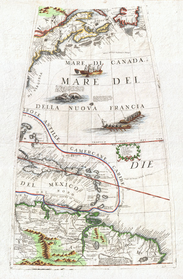
New England, the West Indies, Northeastern South America (Unitled Globe Gore).
sold
- Digital Map Information
- Suitable for large format printing
- DPI: 300
- File Size: 9.77 MB
- File Type: ZIP / TIFF
- ICC color profile embedded
- Delivered instantly via download link
A fine example of Vincenzo Coronelli's extremely rare 1688 globe gore of Eastern America. Covers from Newfoundland south along the New England and Virginia coastlines to the Bahamas (Gigante) and the West ... (more details)