
NEW ACQUISITIONS
British-Boer competition in Southern Africa.
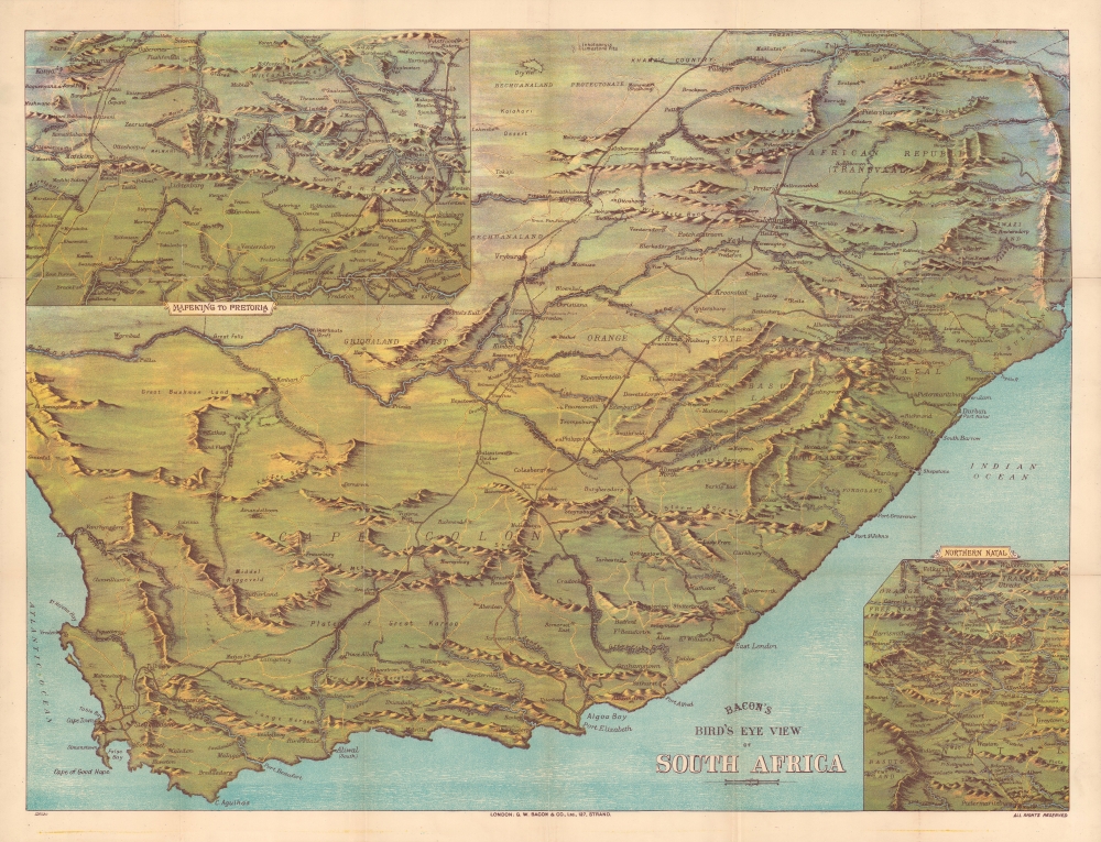
Bacon's Bird's-Eye View of South Africa during the 'South African Crisis'.
$700.00
Acquire
- Digital Map Information
- Suitable for large format printing
- File Size: 59.73 MB
- File Type: ZIP / TIFF
- ICC color profile embedded
- Delivered instantly via download link
An impressive c. 1890 chromolithograph view and map of South Africa extending from the Limpopo River to Cape Agulhas and from the Atlantic to the Indian Oceans. It was published during the 'South African Crisis,' leading up to and including the Second Boer War (1898 - 1901). (more details)
One of the South's great rail networks.
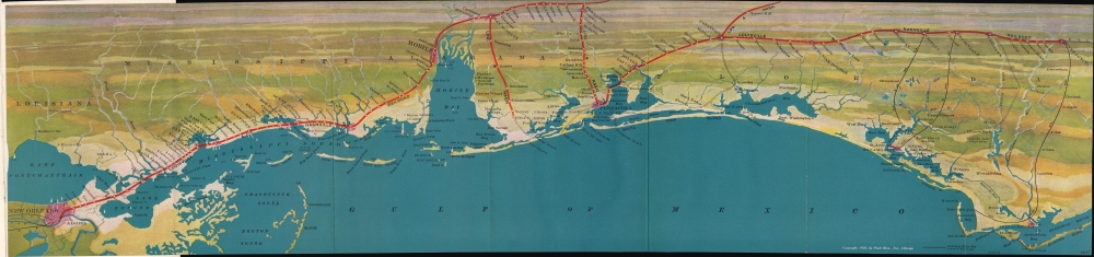
Untitled / [Gulf Coast].
$650.00
Acquire
- Digital Map Information
- Suitable for large format printing
- File Size: 19.96 MB
- File Type: ZIP / TIFF
- ICC color profile embedded
- Delivered instantly via download link
A vibrantly colored 1926 Poole Brothers bird's-eye view of the northern coast of the Gulf of Mexico, from New Orleans to Apalachicola. The view promotes the Louisville and Nashville Railroad. It appeared in the booklet New Orleans: the city of progress, beauty, charm, and romance, distributed by the railroad. (more details)
Documenting the transition to corporate farming in America.
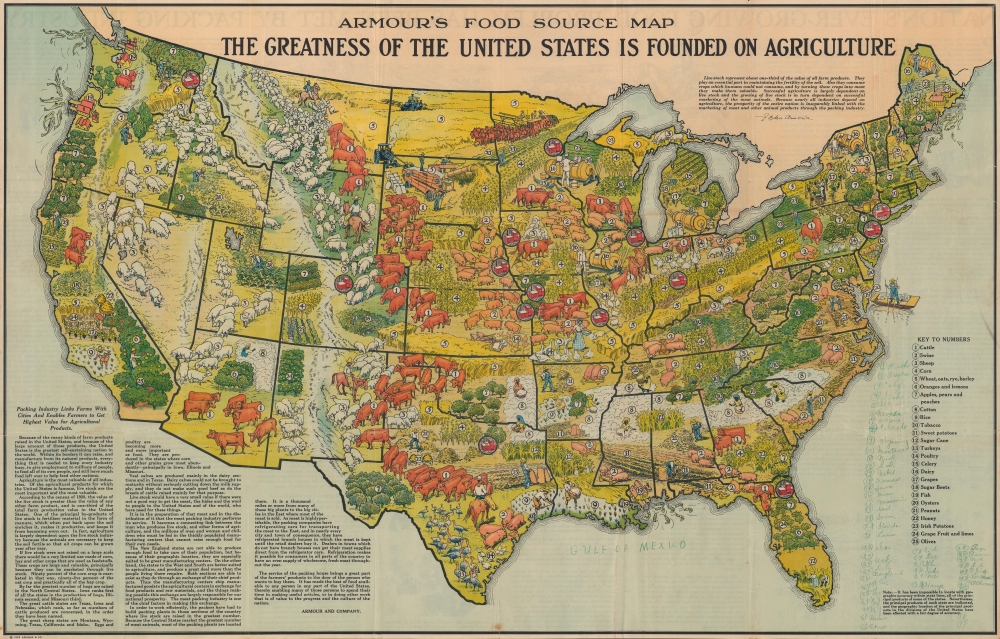
Armour's food source map : the greatness of the United States is founded in agriculture.
$600.00
Acquire
- Digital Map Information
- Suitable for large format printing
- Full resolution TIFF file
- ICC color profile embedded
- Delivered instantly via download link
A scarce 1922 pictorial map of the United States by Armour. The map documents the early 20th-century transition to mechanized corporate farming. Armour, the publisher, then one of the country's leading meatpacking companies, was at the forefront of this movement. (more details)
The emergence of a railroad nation.
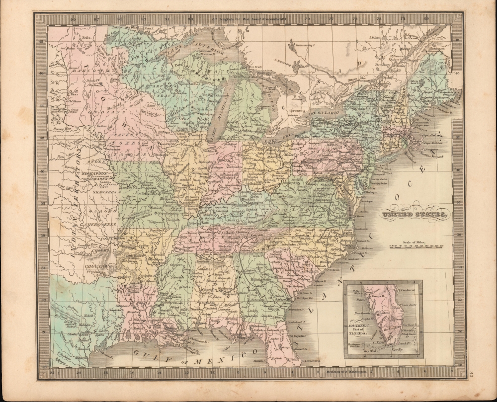
United States.
$350.00
Acquire
- Digital Map Information
- Suitable for large format printing
- DPI: 600
- File Size: 21.85 MB
- File Type: ZIP / TIFF
- ICC color profile embedded
- Delivered instantly via download link
This is Jeremiah Greenleaf's 1849 map of the United States. This map features numerous minor updates over earlier editions reflecting the explosive growth between 1835 and 1849. Of particular note are numerous updates in Texas and to the expanding railroad system. (more details)
Hong Kong in the midst of great changes.
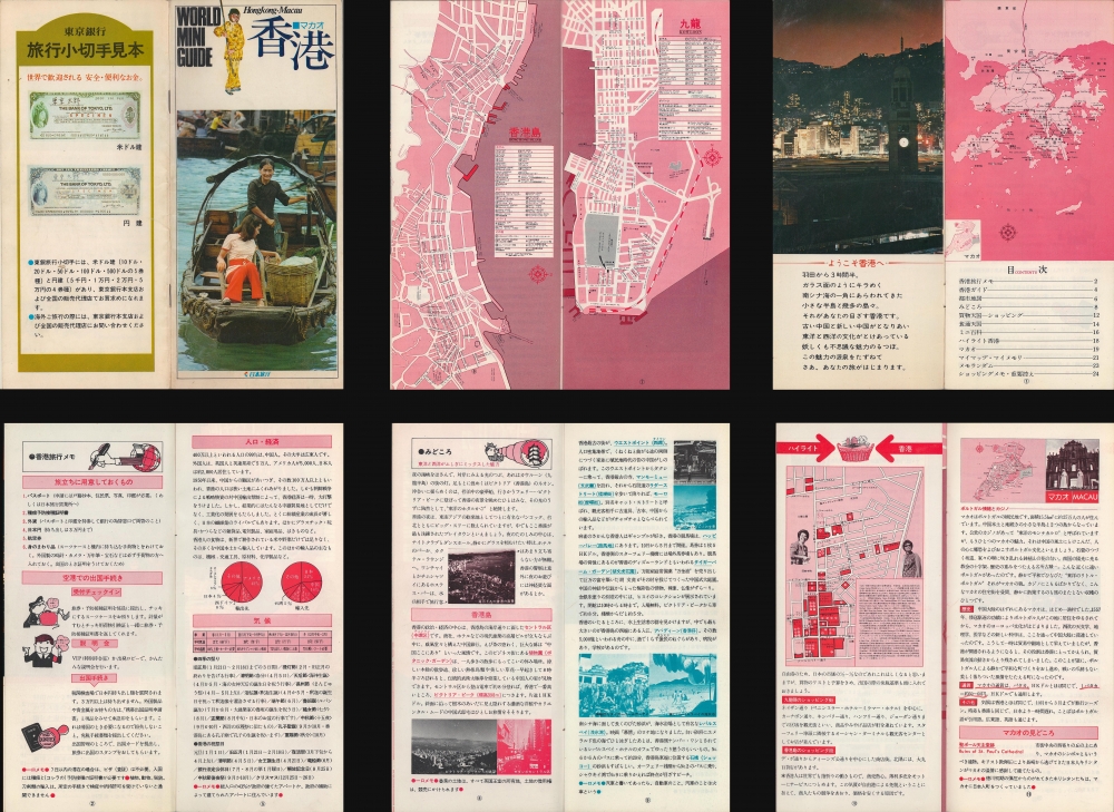
World Mini Guide: Hongkong Macau. / 香港 マカオ
$200.00
Acquire
An instructive c. 1975 Japanese-language tourist brochure for Hong Kong and Macao. The maps and information therein reflect the growing cultural and economic ties between Hong Kong and Japan at the time. (more details)
Details both Key West and Marathon Key.
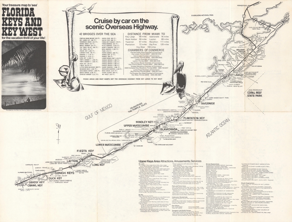
Your Treasure Map to 'Sea' Florida Keys and Key West for the Vacation Thrill of Your Life!
$150.00
Acquire
This is a c. 1976 Monroe County Advertising Commission map of the Florida Keys. Printed on both sides, the map marks stops along the Overseas Highway from Homestead to Key West, naming major Keys en route. The Florida Keys Aquarium, Santini's Porpoise Training School, the Long Key Fishing Club, and the site of Zane Grey's former cottage rank amon highlighted sites. Boat ramps, underwater coral gardens, campgrounds, golf courses, and movie theaters, more traditional tourist sites, also appear. A scroll occupies most of Florida Bay and names the forty-two bridges on the Overseas Highway, with distances. An index for the Upper Keys is included. (more details)
The first map to illustrate and name all five of the Great Lakes.
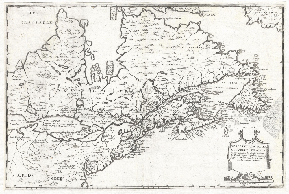
Description de la Nouvelle France, ou, sont remarquées les diverses habitations des françois, despuis la première descouverte jusques à present, receuillie et dressée sur diverses relations modernes.
$23,000.00
Acquire
- Digital Map Information
- Suitable for large format printing
- DPI: 300
- File Size: 8.1 MB
- File Type: ZIP / TIFF
- ICC color profile embedded
- Delivered instantly via download link
A rare separately published map considered the to be the first to illustrate all five of the Great Lakes. Drawn by Jean Boisseau, this map is cartographically derived from Samuel de Champlain's important map of 1632 with some important changes. The map covers from ... (more details)
Moosehead Lake, Mount Katahdin, and lands given to Bowdoin College.
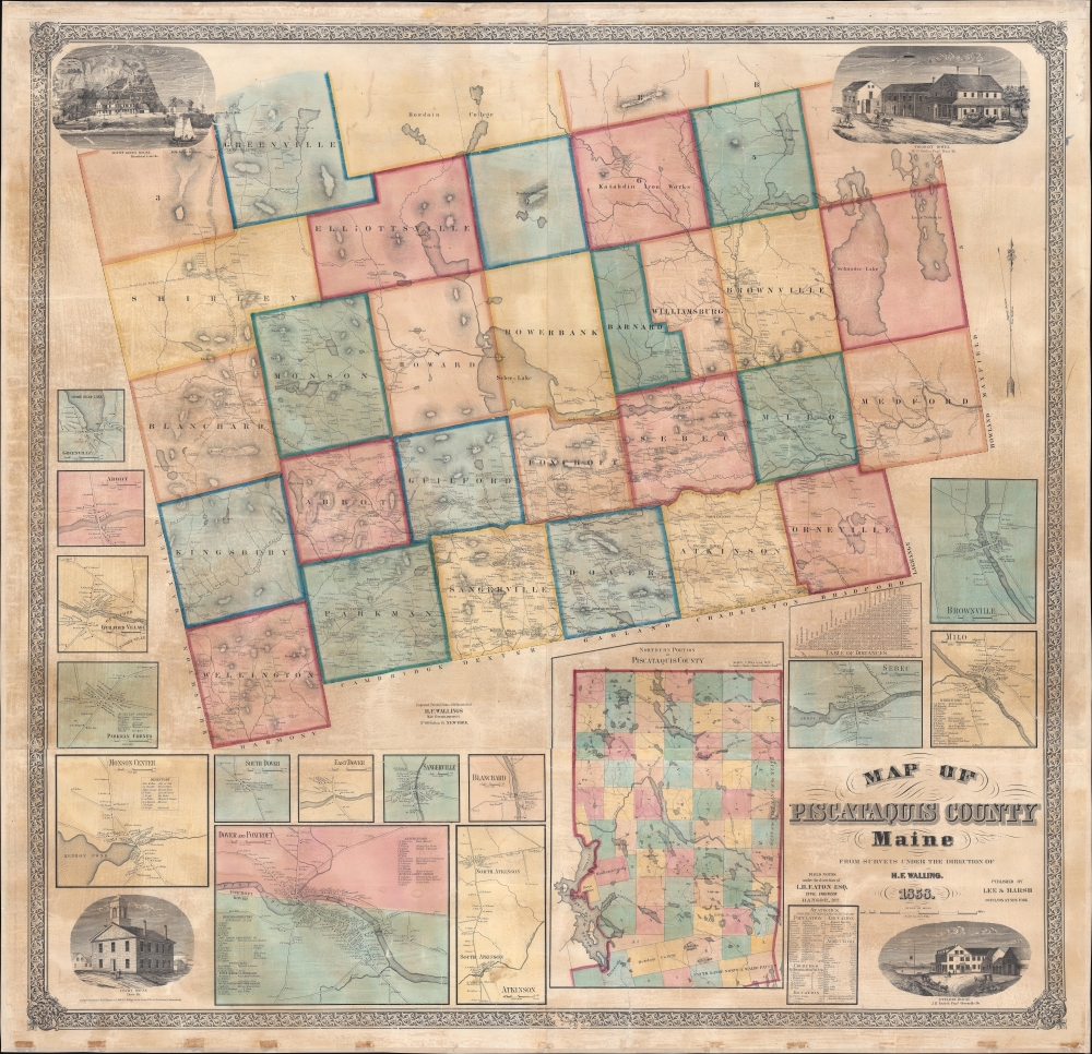
Map of Piscataquis County Maine.
$2,500.00
Acquire
- Digital Map Information
- Suitable for large format printing
- Full resolution TIFF file
- ICC color profile embedded
- Delivered instantly via download link
This is an 1858 Henry Francis Walling wall map of Piscataquis County, Maine. The map includes Moosehead Lake, Mount Katahdin (a very serious climb), and lands granted to Bowdoin College. The Katahdin Iron Works is labeled despite the fact that it ceased production one year earlier in 1857 (it would resume with the Civil War in 1861). (more details)
Decoding the Dead Sea.
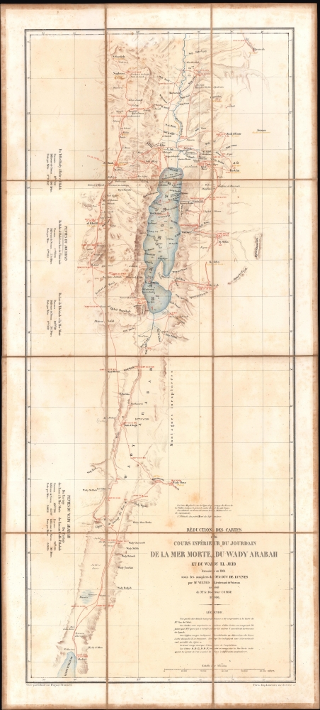
Réduction des cartes du cours inférieur du Jourdain, de la mer Morte, du wady Arabah et du wady El Jeib.
$1,200.00
Acquire
- Digital Map Information
- Suitable for large format printing
- File Size: 13.15 MB
- File Type: ZIP / TIFF
- ICC color profile embedded
- Delivered instantly via download link
A scarce 1866 separate-issue folding map of the Dead Sea and the Jordan Rift Valley by Louis Vignes. It was the product of the Duc de Luynes's 1864 expedition to the Dead Sea, noted for its scientific discoveries, as well as the early photographs of the region taken by Vignes. (more details)
San Diego during World War II!
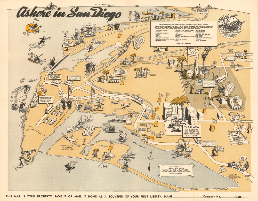
Ashore in San Diego.
$700.00
Acquire
- Digital Map Information
- Suitable for large format printing
- File Size: 26.43 MB
- File Type: ZIP / TIFF
- ICC color profile embedded
- Delivered instantly via download link
This is a charming World War II era 1943 pictorial map of San Diego issued by Edward Pranger for the U.S. Navy Training Center. The map centers on Lindbergh Field (San Diego Municipal Airport) and focuses on attractions, military installations and USO centers around San Diego. Coverage extends north as far as La Jolla (although Los Angeles appears on the horizon), south roughly to the Mexican border, and from the Pacific to Balboa Park. (more details)
19th Century Midtown.
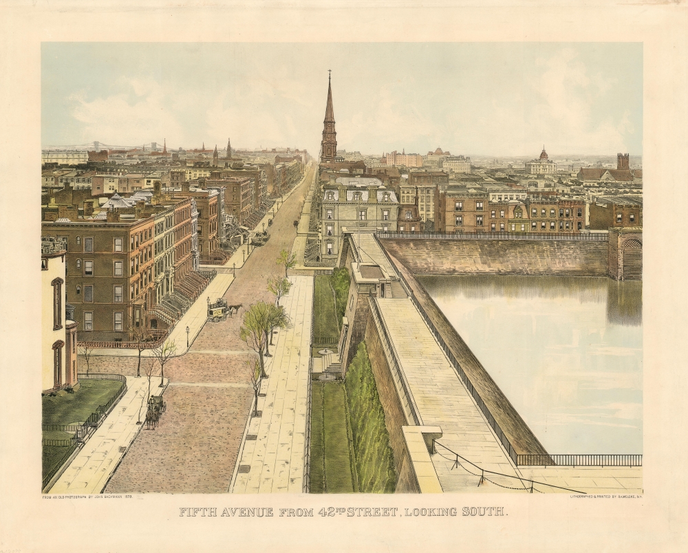
Fifth Avenue from 42nd Street, Looking South.
$650.00
Acquire
- Digital Map Information
- Suitable for large format printing
- File Size: 27.01 MB
- File Type: ZIP / TIFF
- ICC color profile embedded
- Delivered instantly via download link
This is a beautiful photolithograph view of New York City’s Murray Hill neighborhood, executed in 1904 by printer Robert Welcke from a photograph taken in 1879 by the great panorama artist John Bachmann. (more details)
The height of the British East India Company.
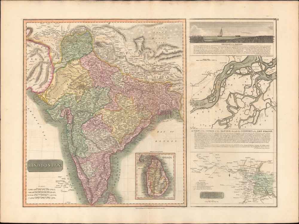
Hindoostan. / A View of the course of the Ganges...
$550.00
Acquire
- Digital Map Information
- Suitable for large format printing
- DPI: 600
- File Size: 77.31 MB
- File Type: ZIP / TIFF
- ICC color profile embedded
- Delivered instantly via download link
This is the 1814 first edition John Thomson map of India with inset maps of the Ganges River. This is the rarest of the Thomson India series, having appeared only in the first edition of his atlas. It is one of the finest atlas maps of India to appear in the early 19th century. (more details)
Sparking interest in sheep ranching.
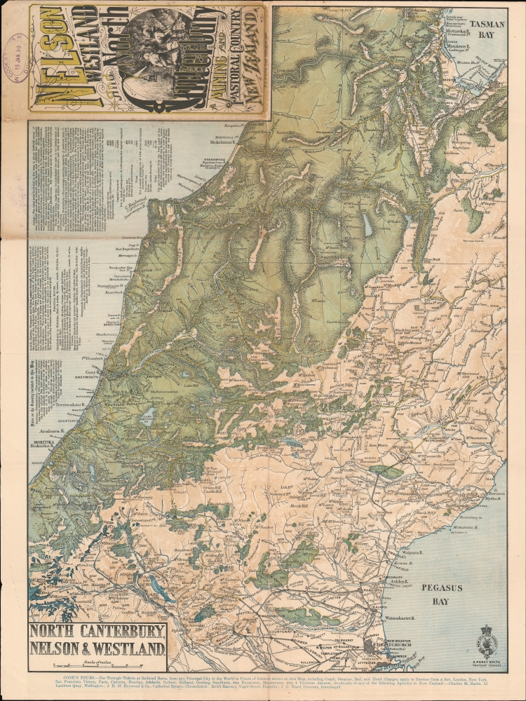
Nelson Westland and North Canterbury A Mining and Pastoral Country New Zealand. North Canterbury, Nelson and Westland.
$500.00
Acquire
- Digital Map Information
- Suitable for large format printing
- File Size: 31.96 MB
- File Type: ZIP / TIFF
- ICC color profile embedded
- Delivered instantly via download link
This is an 1889 New Zealand Survey Department map of New Zealand's South Island. Coverage ranges from Sandy Bay to Lyttelton, cities and towns throughout are labeled, including Christchurch, Nelson, and Hokitika. The map was issued to promote Thomas Cook's Tours. (more details)
Venice and her Neighbors.
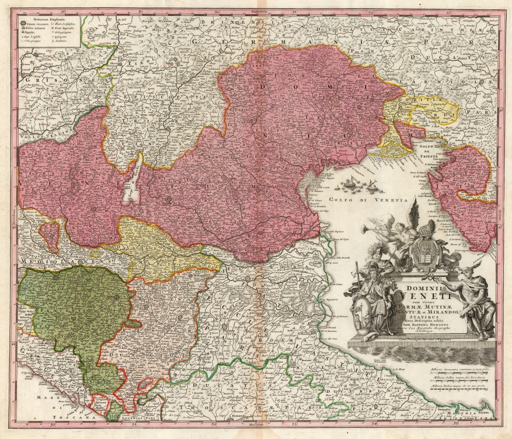
Dominii Veneti cum vicinis Parmae Mutinae Mantuae et Mirandol Statibus Nova Descriptio edita Ioh. Baptista Homanno.
$500.00
Acquire
- Digital Map Information
- Suitable for large format printing
- DPI: 600
- File Size: 65.3 MB
- File Type: ZIP / TIFF
- ICC color profile embedded
- Delivered instantly via download link
This is a handsome c.1730 Homann map of northeast Italy, the region dominated by the Republic of Venice, whose territories are highlighted here in pink. (more details)
Stonehenge and the English Civil War.
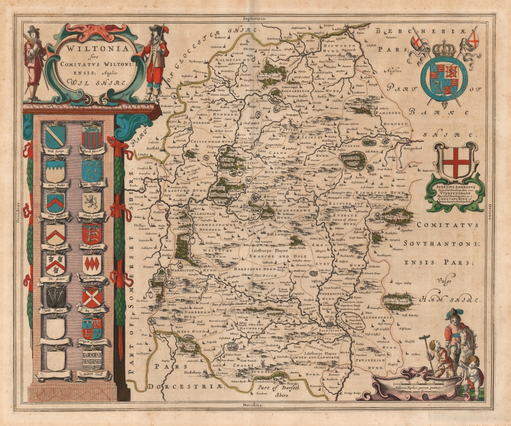
Wiltonia sive Comitatus Wiltoniensis; Anglis Wilshire.
$500.00
Acquire
- Digital Map Information
- Suitable for large format printing
- DPI: 600
- File Size: 53.46 MB
- File Type: ZIP / TIFF
- ICC color profile embedded
- Delivered instantly via download link
This is Joan Blaeu's 1645 map of the county of Wiltshire in southwestern England. While not the first atlas map to detail the county (this honor goes to Speed's map, from which Blaeu's is derived), it is among the most beautifully engraved and colored. (more details)
The Indian Ocean and arteries of trade.
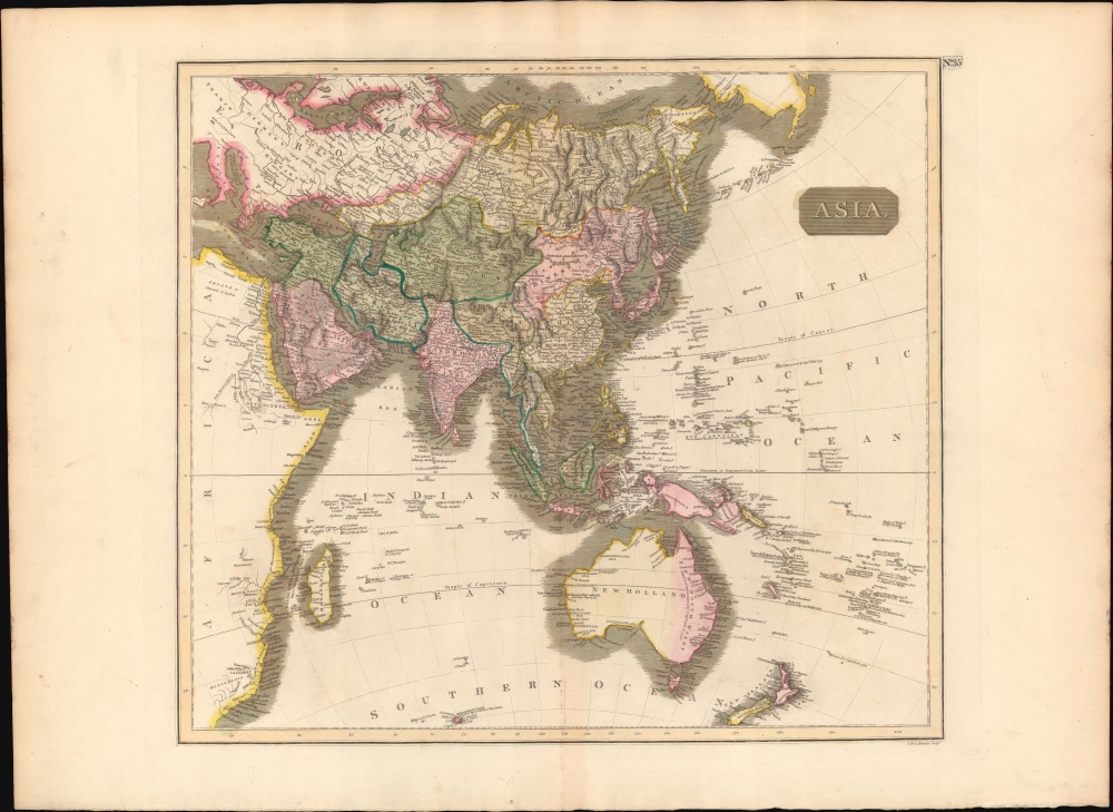
Asia.
$450.00
Acquire
- Digital Map Information
- Suitable for large format printing
- DPI: 600
- File Size: 64.28 MB
- File Type: ZIP / TIFF
- ICC color profile embedded
- Delivered instantly via download link
This is a first edition 1814 John Thomson map of Asia, the Indian Ocean, and Australia. (more details)
Rebuking the Atlantic Charter for Postwar Peace.
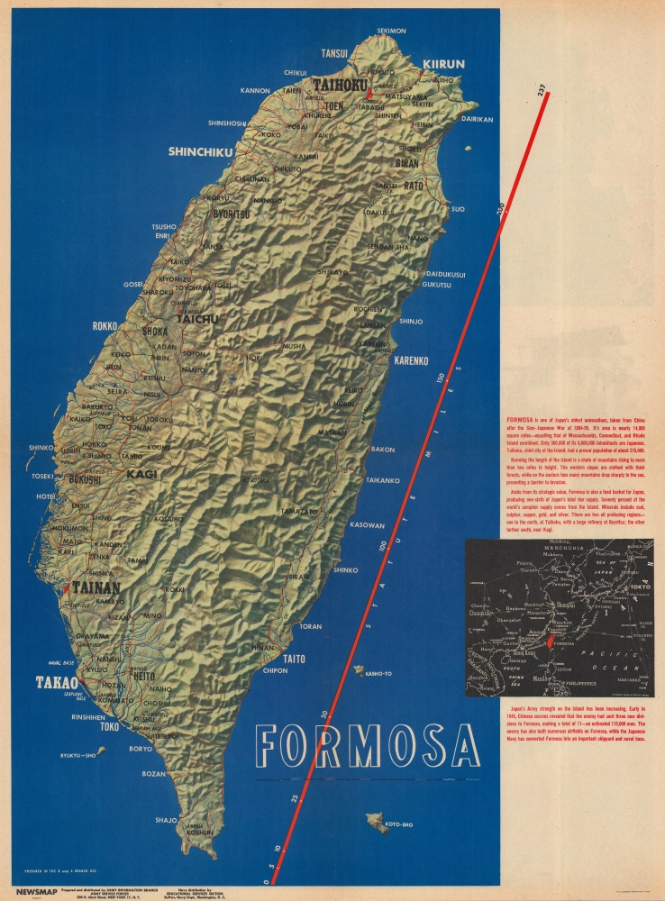
Formosa. Newsmap Special Edition. For the Armed Forces. V-E Day + 14 Weeks - 191st Week of U.S. Participation in the War. Week of 31 July to 7 August. Volume IV No. 17F.
$450.00
Acquire
- Digital Map Information
- Suitable for large format printing
- Full resolution TIFF file
- ICC color profile embedded
- Delivered instantly via download link
This is a 1945 Army Information Branch Newsmap map of Taiwan / Formosa. The focus of the map is the Potsdam Conference - which is highlighted on the verso. It was during this conference that Taiwan was 'officially' returned to China following World War II (1939 - 1945) - in an arguable rebuke of the 1941 Atlantic Charter, which guaranteed Taiwan's independence. (more details)
Desert Caravans and Liberian land purchases.
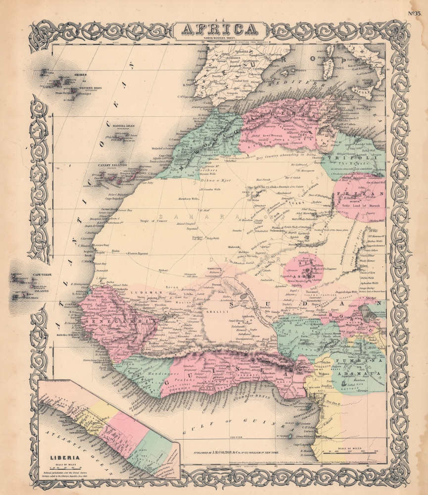
Africa North Western Sheet.
$150.00
Acquire
- Digital Map Information
- Suitable for large format printing
- File Size: 29.91 MB
- File Type: ZIP / TIFF
- ICC color profile embedded
- Delivered instantly via download link
A beautiful 1856 Colton map of northwestern Africa. Like most of Colton's Africa maps, this map is derived from an earlier wall map of the world produced by Colton and D. Griffing Johnson. (more details)
Recognizing friends and enemies at sea.
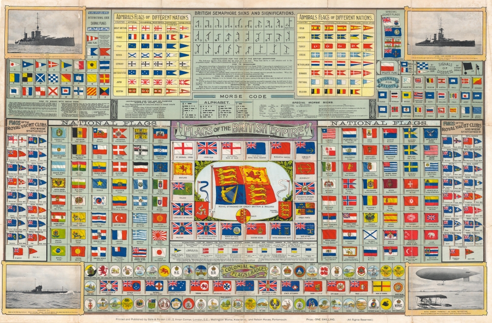
Flags of the British Empire.
$1,200.00
Acquire
- Digital Map Information
- Suitable for large format printing
- Full resolution TIFF file
- ICC color profile embedded
- Delivered instantly via download link
This is a c. 1919 Gale and Polden flag chart of the British Empire and other nations. (more details)
Greenwich, the 300th anniversary of its founding.
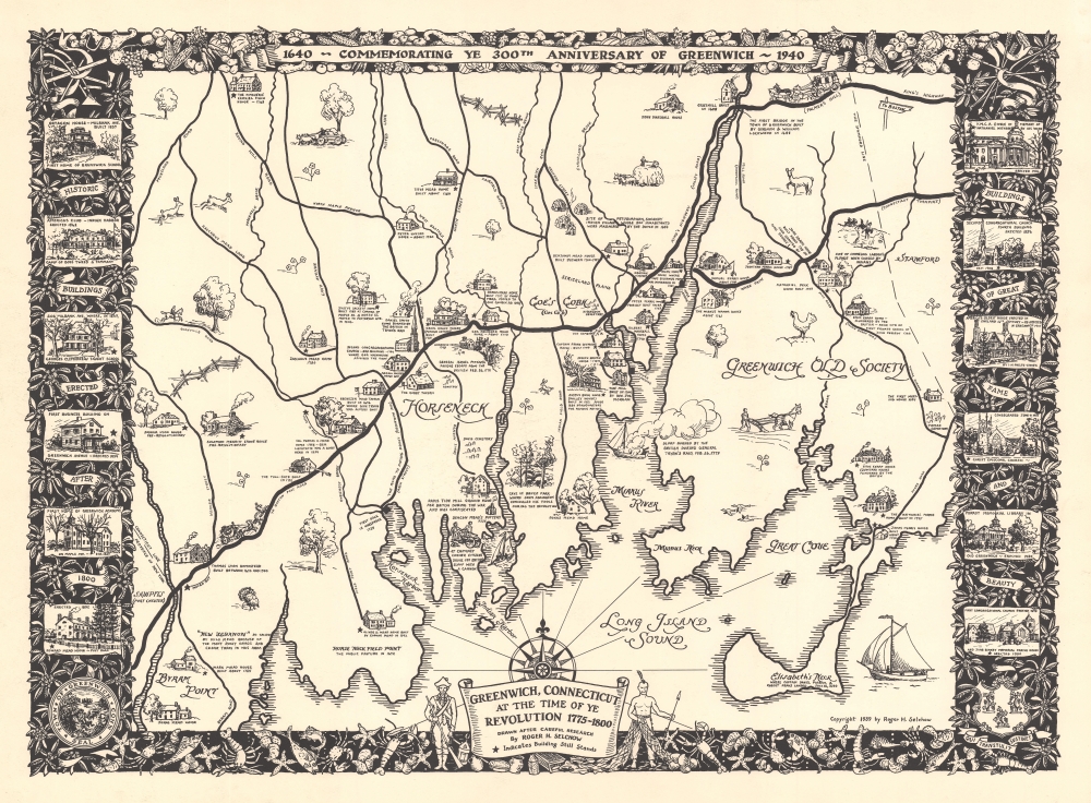
Greenwich, Connecticut at the Time of Ye Revolution 1775 - 1800. 1640 - Commemorating Ye 300th Anniversary of Greenwich - 1940.
$1,000.00
Acquire
- Digital Map Information
- Suitable for large format printing
- File Size: 33.22 MB
- File Type: ZIP / TIFF
- ICC color profile embedded
- Delivered instantly via download link
This is a rare 1939 Roger Selchow pictorial map of Greenwich, Connecticut, created to celebrate the 300th anniversary of its founding. (more details)