Most recently added antique and rare maps as of 7/15/2025.
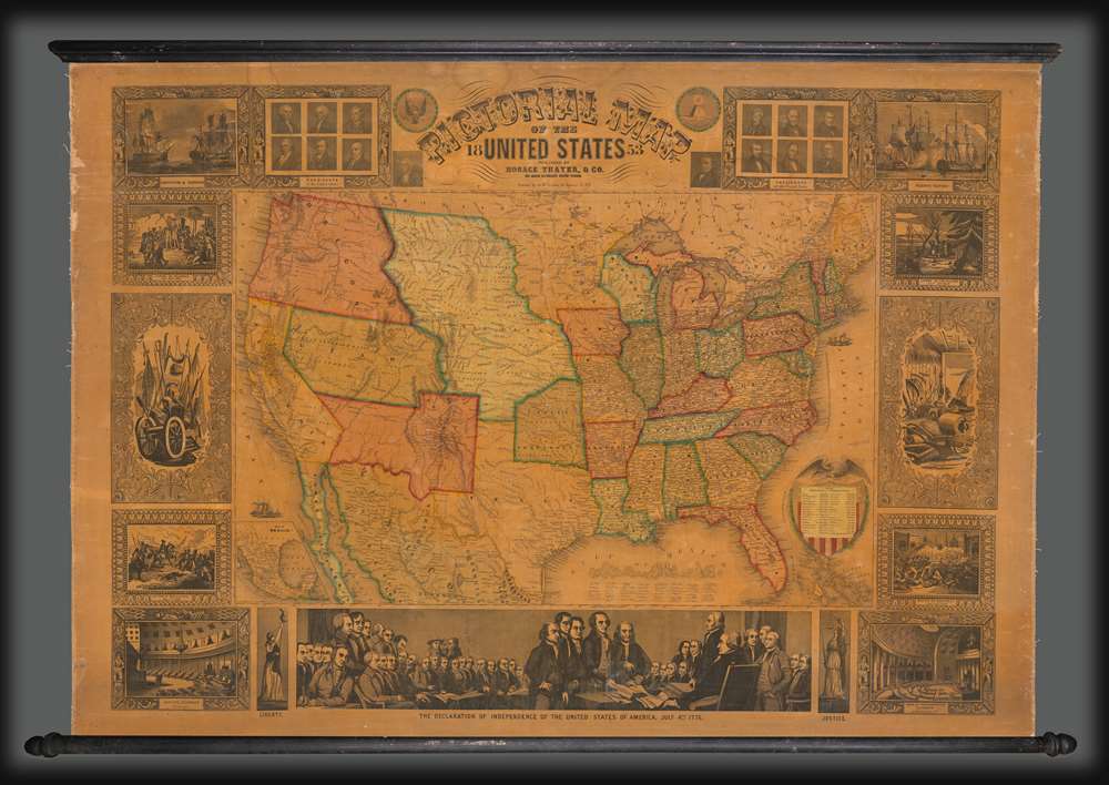
1853 Thayer Pictorial Wall Map of the United States
The Westward Expansion.
$3,500.00

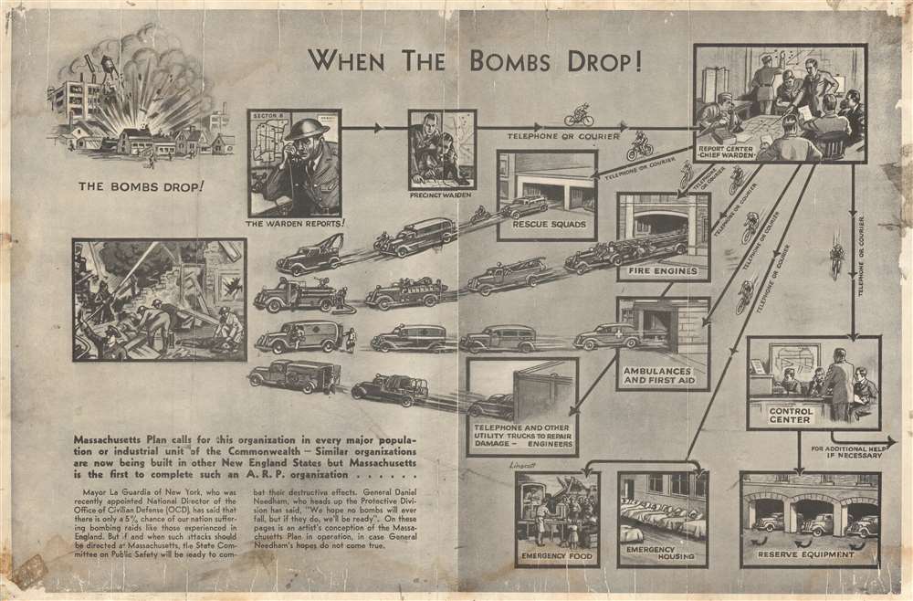
1941 Massachusetts Committee on Public Safety Broadside of Bomb Attack Preparation
Plan against possible enemy bombing raids in Massachusetts during World War II.
$1,400.00

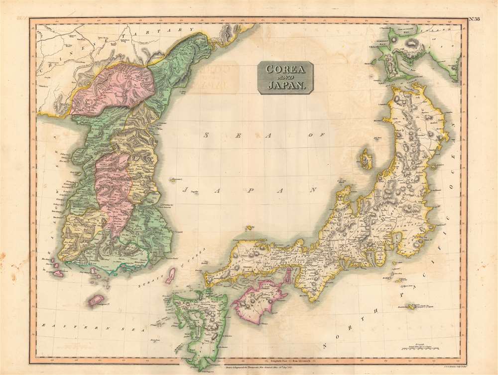
1815 Thomson Map of Korea and Japan
The 'closed' countries of Korea and Japan.
$750.00

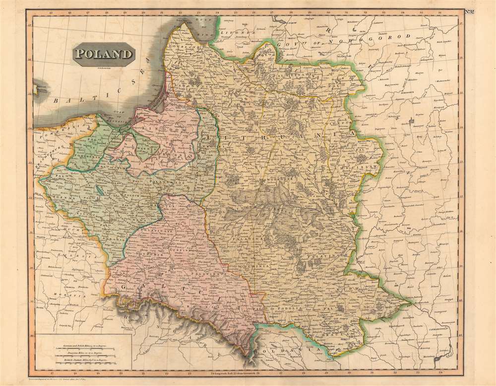
1814 Thomson Map of Poland
Poland on the eve of Partition.
$400.00

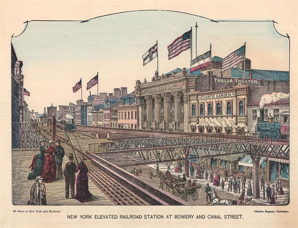
1880 Magnus View of the Elevated Railroad at Bowery and Canal Street, New York City
The brith of New York Public Transit - view Includes the largest theaters in New York!
$325.00

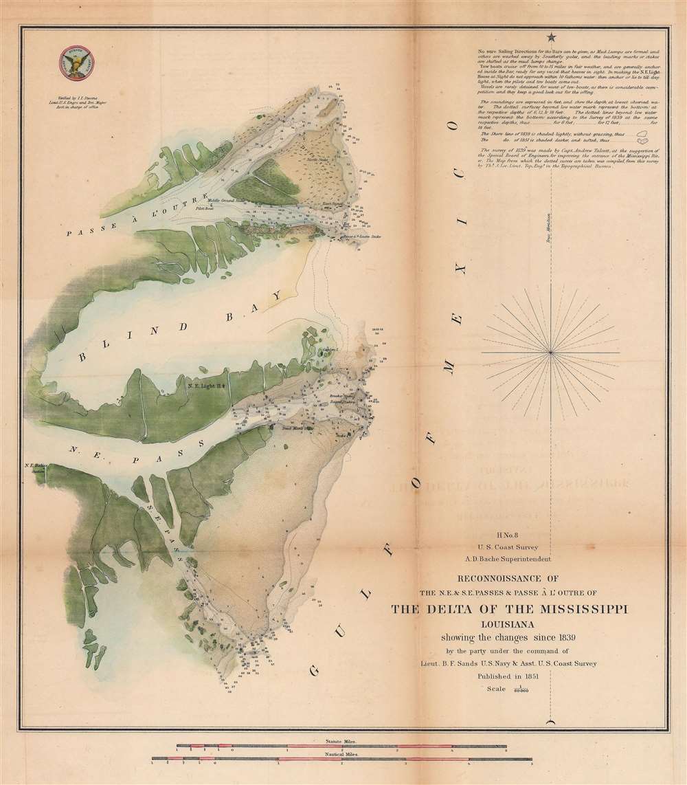
1851 U.S. Coast Survey Chart or Map of the Mississippi River Delta, Louisiana
Nautical chart of the Mississippi River Delta.
$250.00

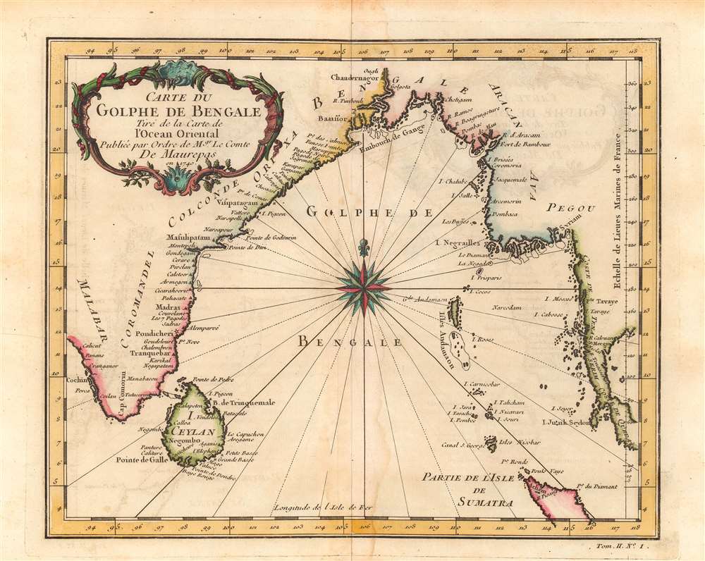
1740 Bellin Map or Plan of the Bay of Bengal
Forgotten French influence in India.
$200.00

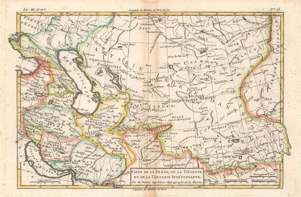
1780 Bonne Map of Tartary or Central Asia: Iraq, Afghanistan, Iran, Tibet
Bonne's vibrant mapping of Central Asia.
$175.00

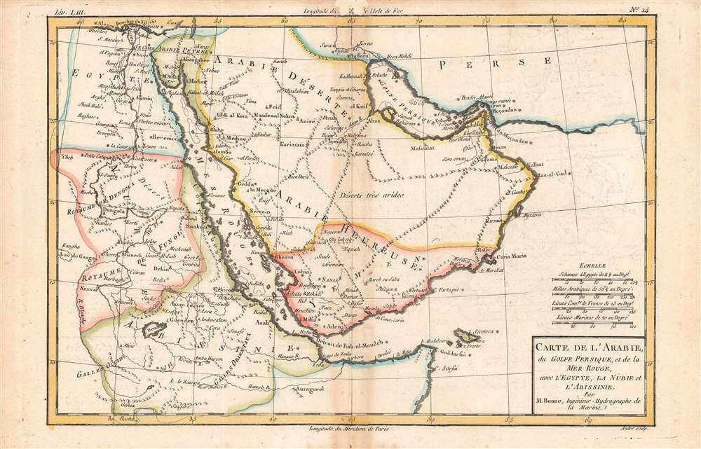
1780 Raynal / Bonne Map of Arabia and Abyssinia
Bonne's beautiful representation of the Arabian Peninsula and environs.
$175.00

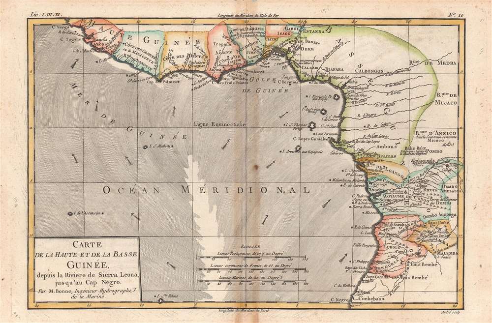
1780 Raynal / Bonne Map of Guinea
Bonne's drawing of the Guinea coast, epicenter of the Transatlantic Slave Trade.
$150.00

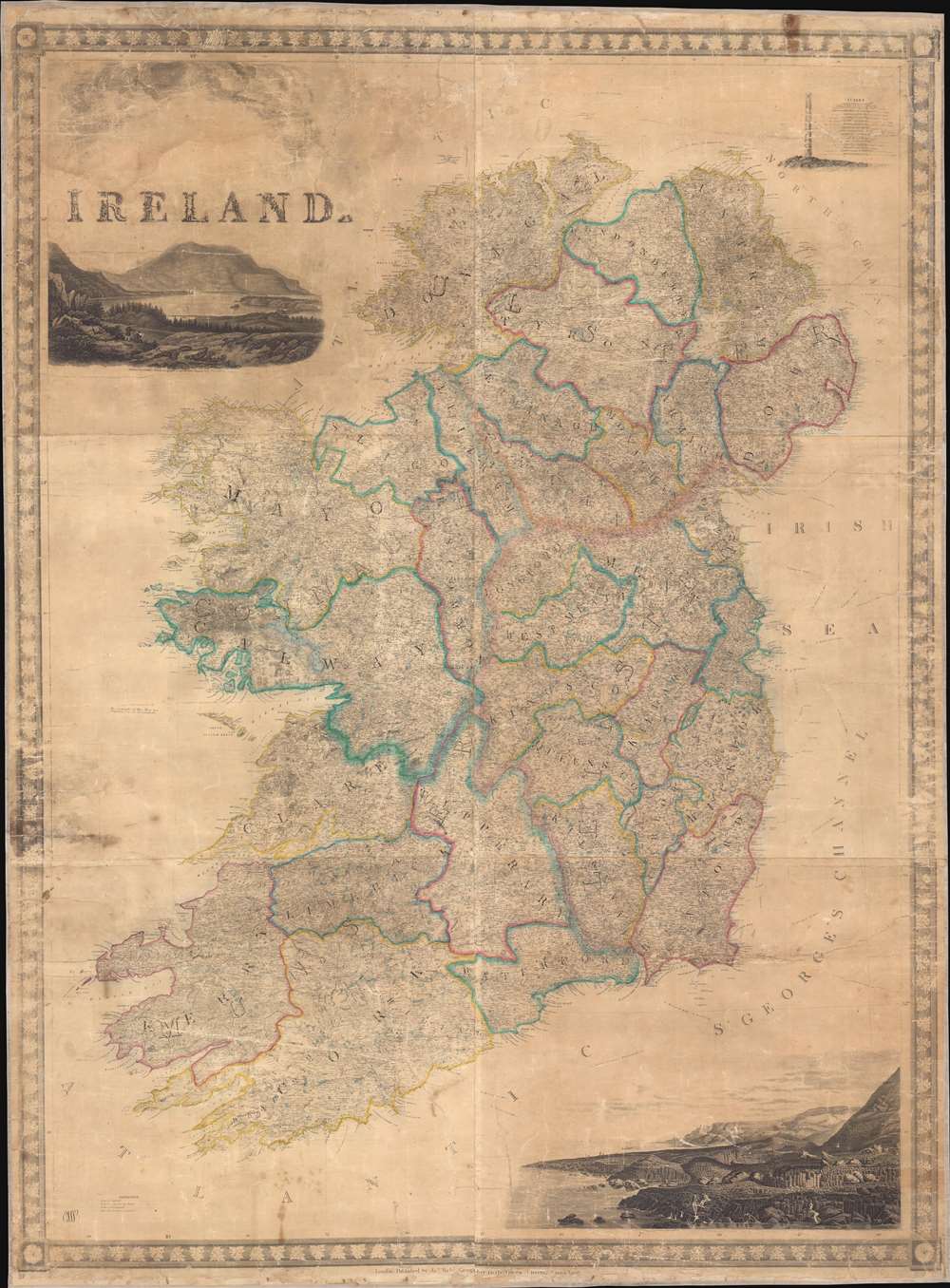
1846 Wyld Map of Ireland
A beautiful large format wall map of Ireland.
$2,500.00

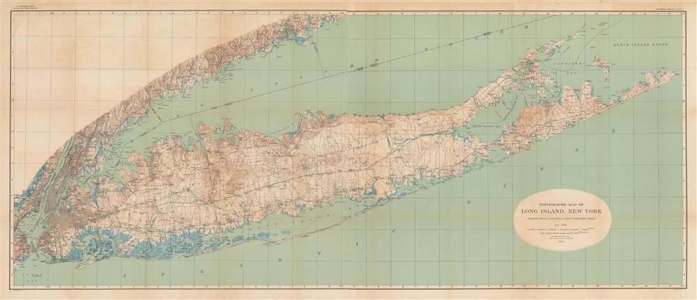
1913 U.S. Geological Survey Topographic Map of Long Island
Long Island, primed for a population boom.
$1,000.00

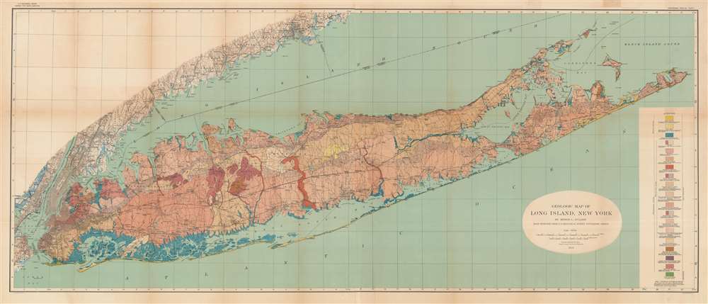
1913 U.S. Geological Survey / Fuller Geologic Map of Long Island
Long Island, from the ground up.
$1,000.00

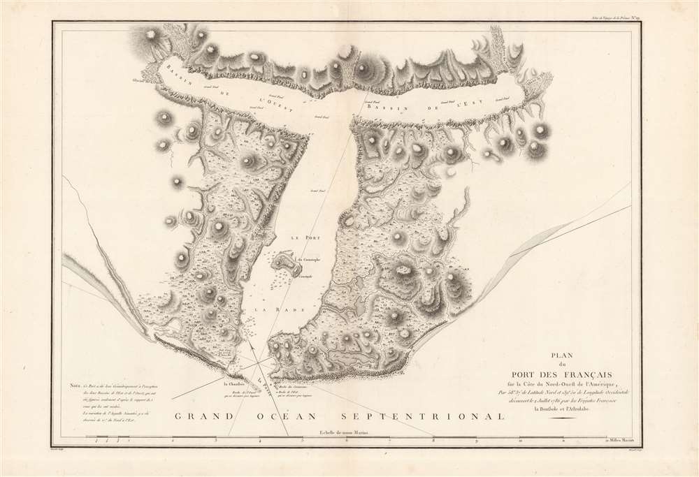
1786 La Perouse Map of Port de Français (Lituya Bay), Alaska
An early map of one of the world's most treacherous bays.
$900.00

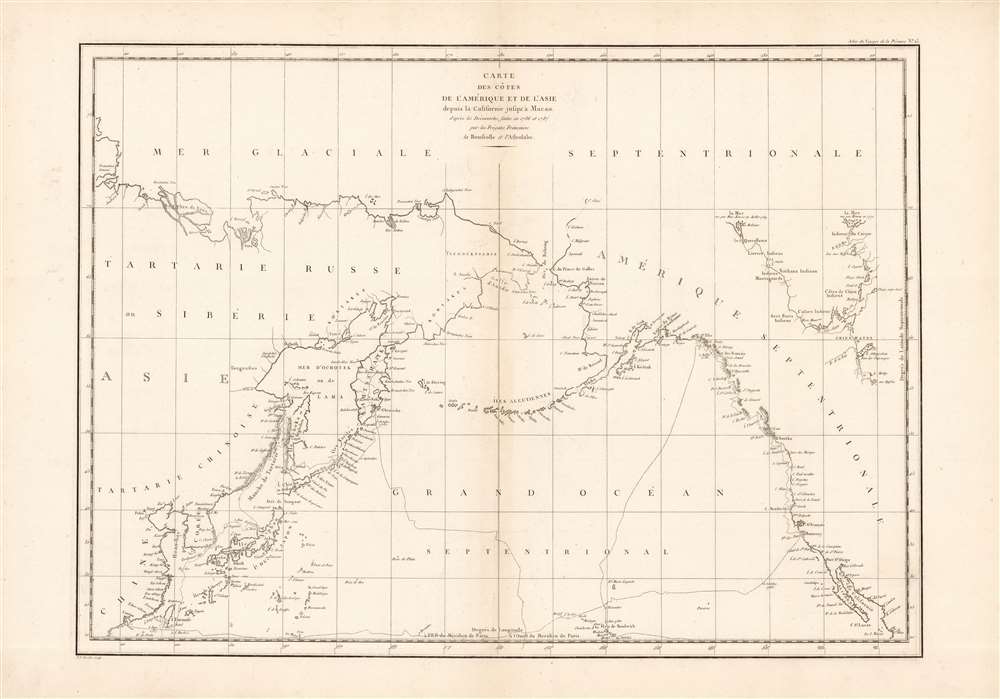
1786 La Perouse Map of the North Pacific
An early voyage of exploration in the North Pacific.
$800.00

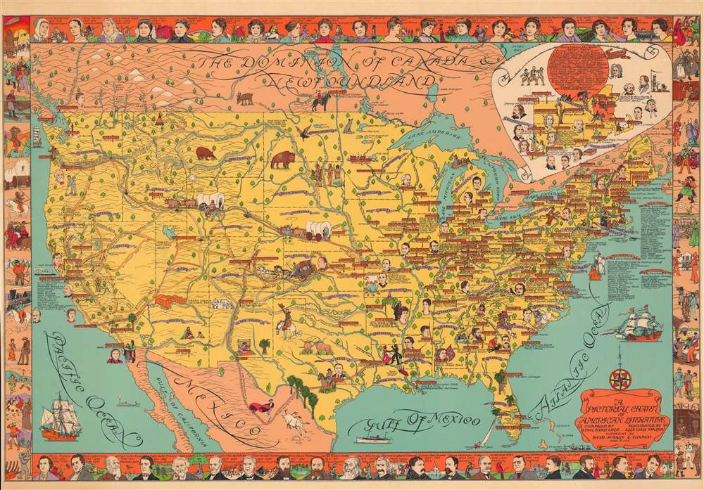
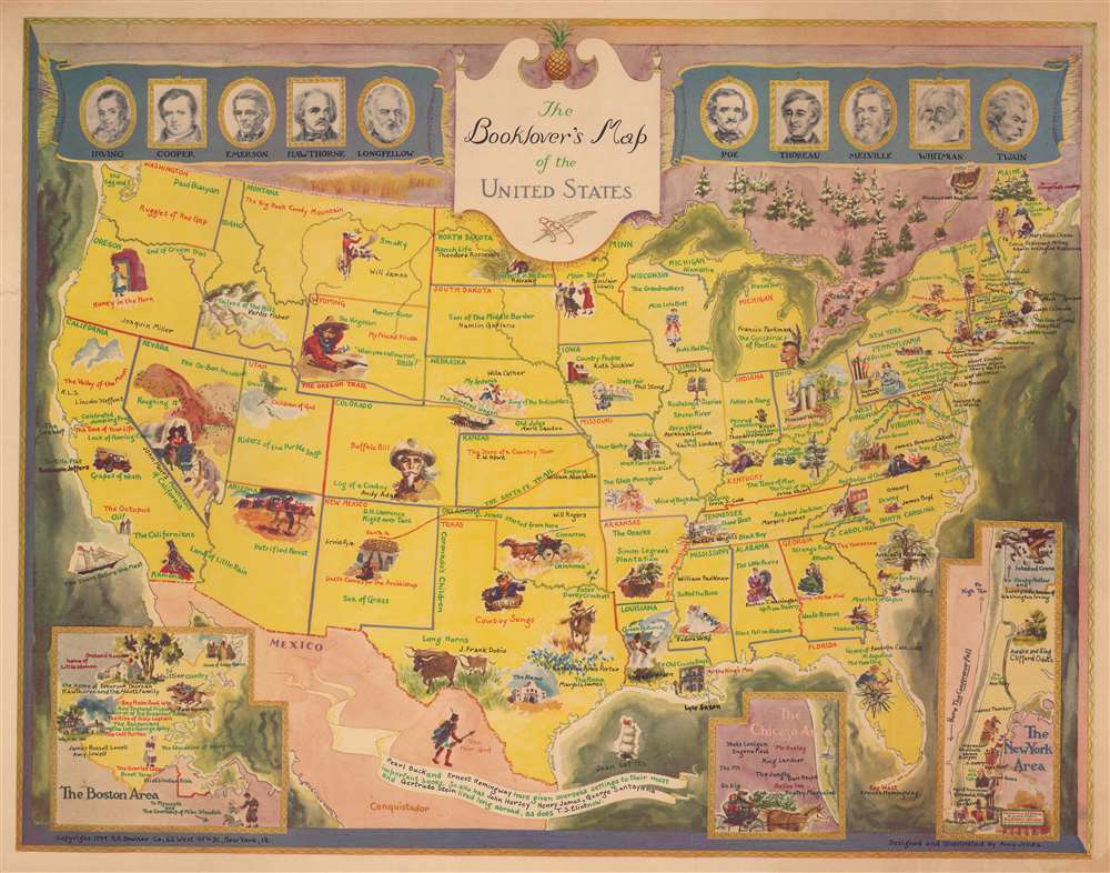
1949 Jones Literary Pictorial Map of the United States
Tour of American literature.
$800.00

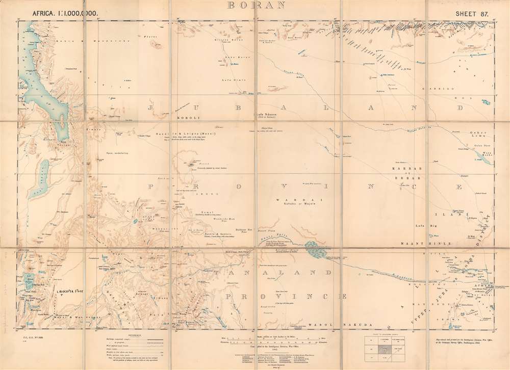
1903 War Office / Ordnance Survey Map of Boran (northeastern Kenya)
One of the last frontiers in the Scramble for Africa.
$800.00