Most recently added antique and rare maps as of 8/20/2025.
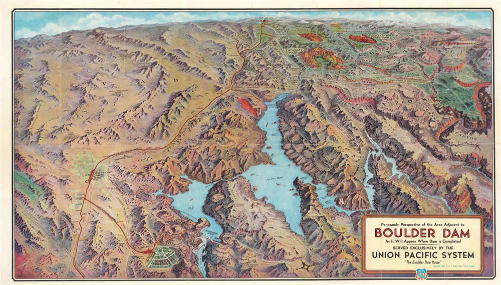
Hoover Dam under construction.
$300.00
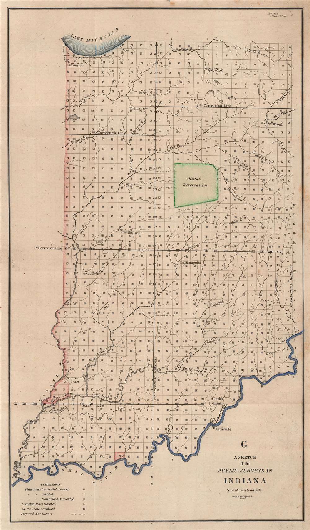
Highlights Clark's Grant and the Donation Lands east of Vincennes.
$250.00
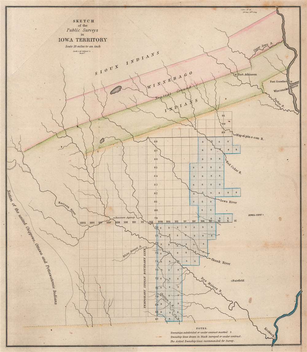
Strained U.S. - American Indian Relations.
$200.00
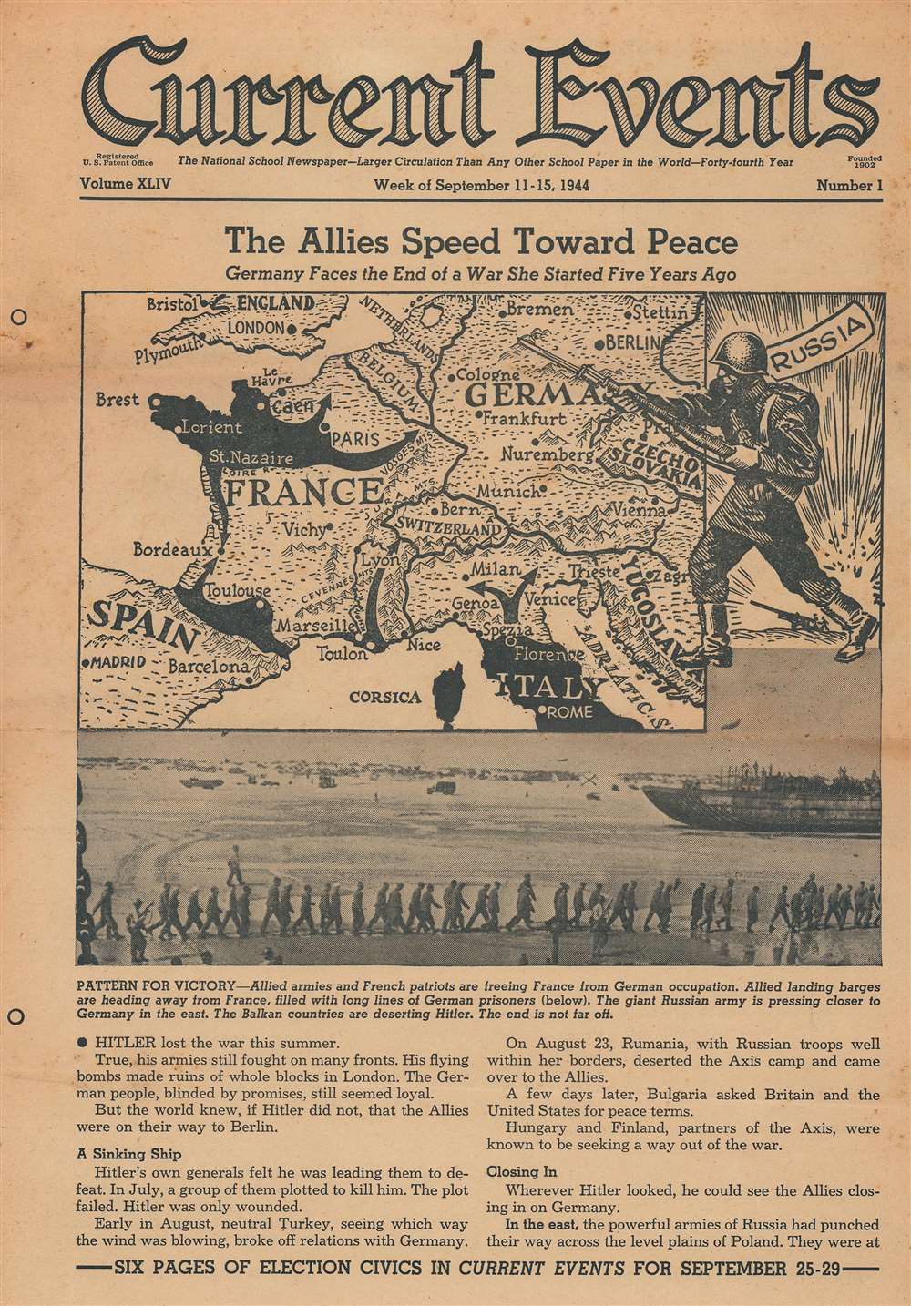
Summarizes the D-Day landings, discusses the V-1, and lauds the B-29 Superfortress.
$175.00
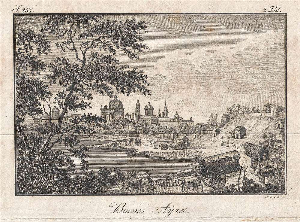
A scene of everyday life along the river near Buenos Aires.
$150.00
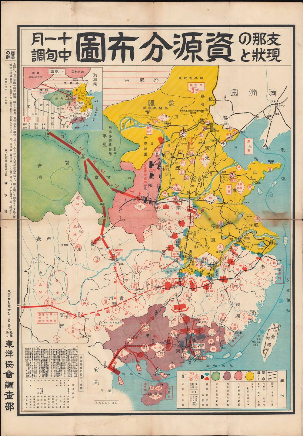
Japanese grandees eye China's vast resources during the Second Sino-Japanese War.
$950.00
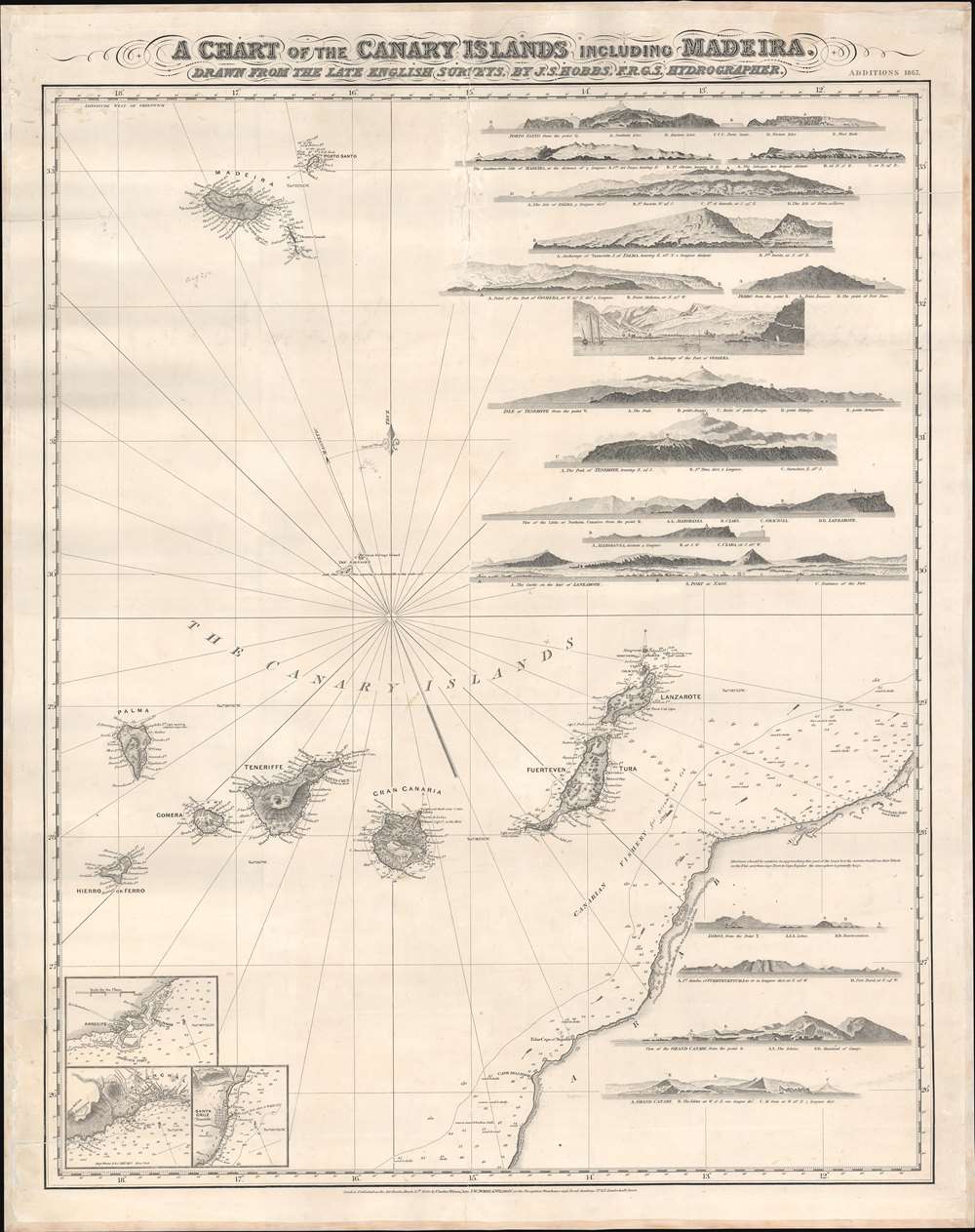
A stunning decorative sea chart detailing Madeira.
$850.00
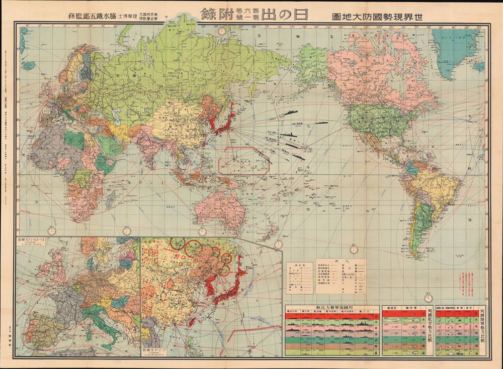
Battleships and cosmetics.
$750.00
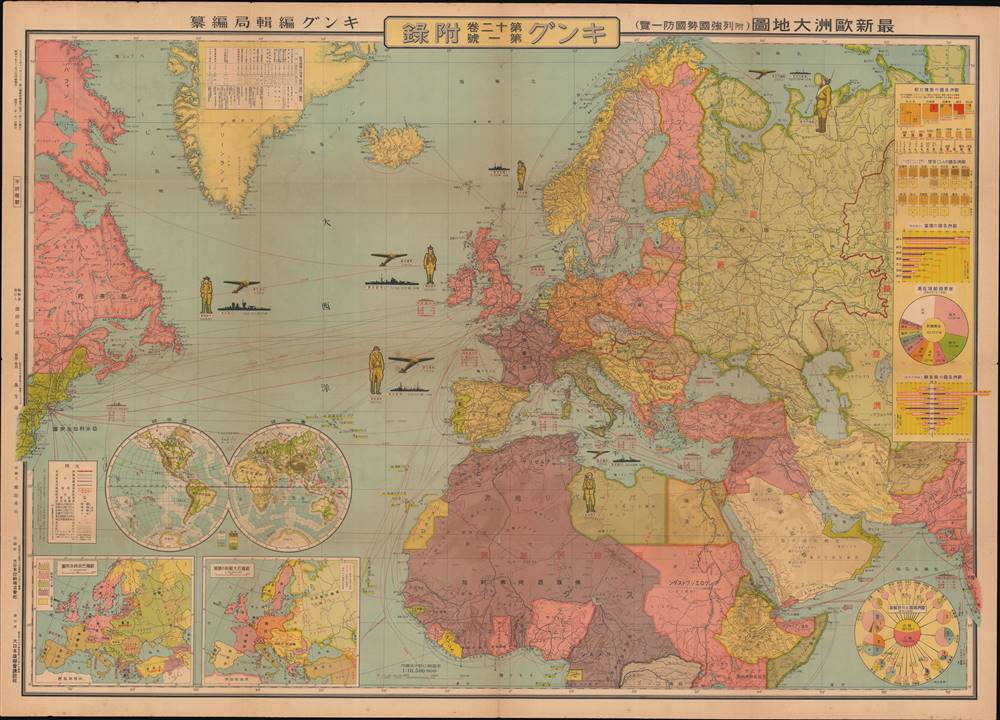
Gathering storm clouds over Europe, as seen from Japan.
$750.00
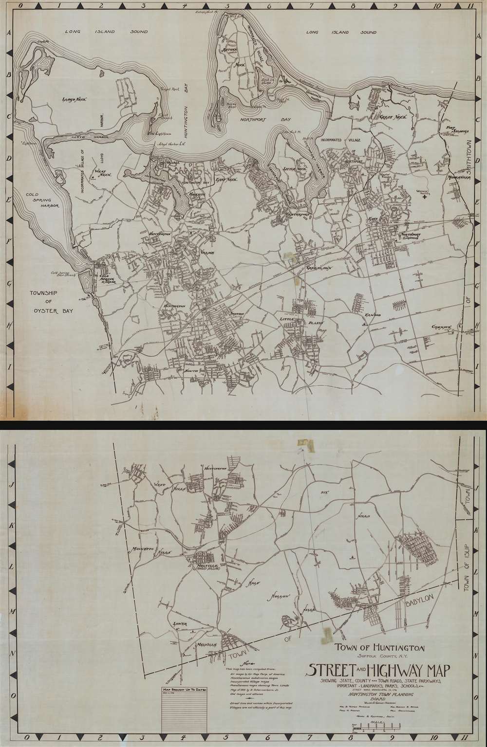
Internal-use government plan of Huntington.
$650.00
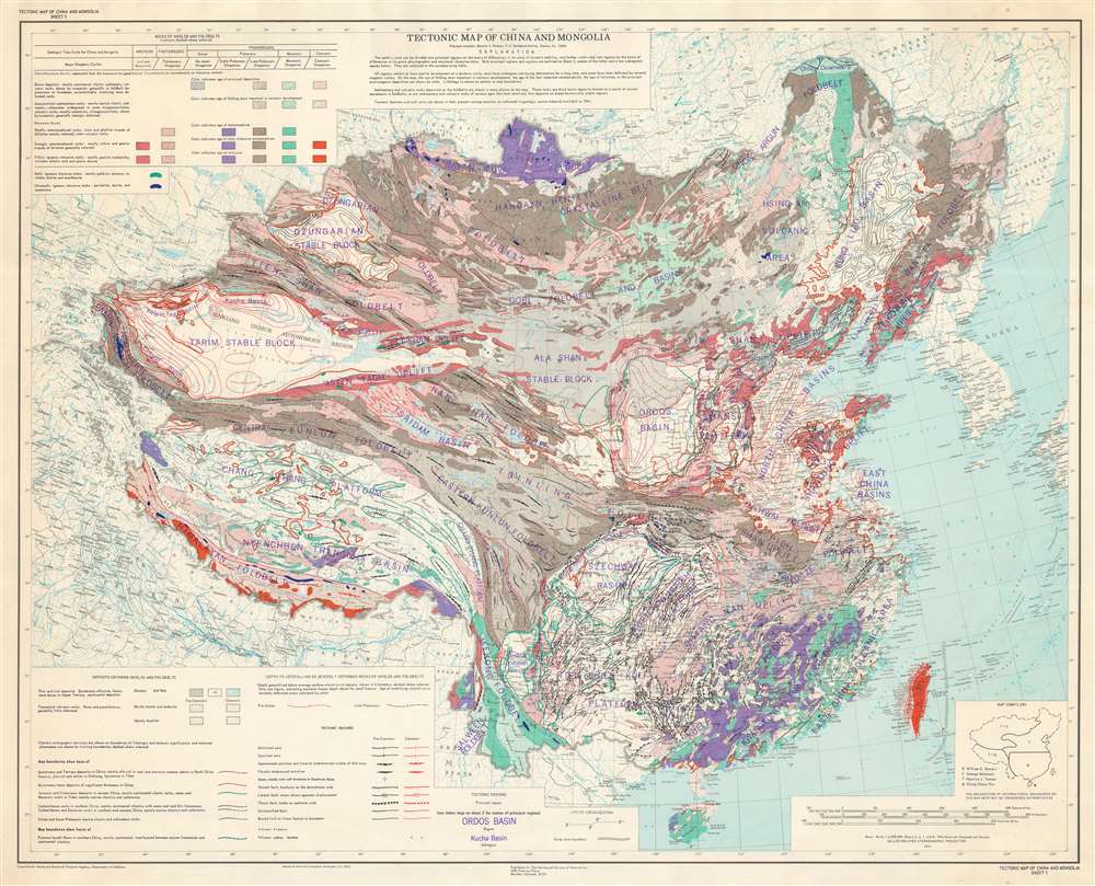
One of the most tectonically important and complicated terranes in the world.
$600.00
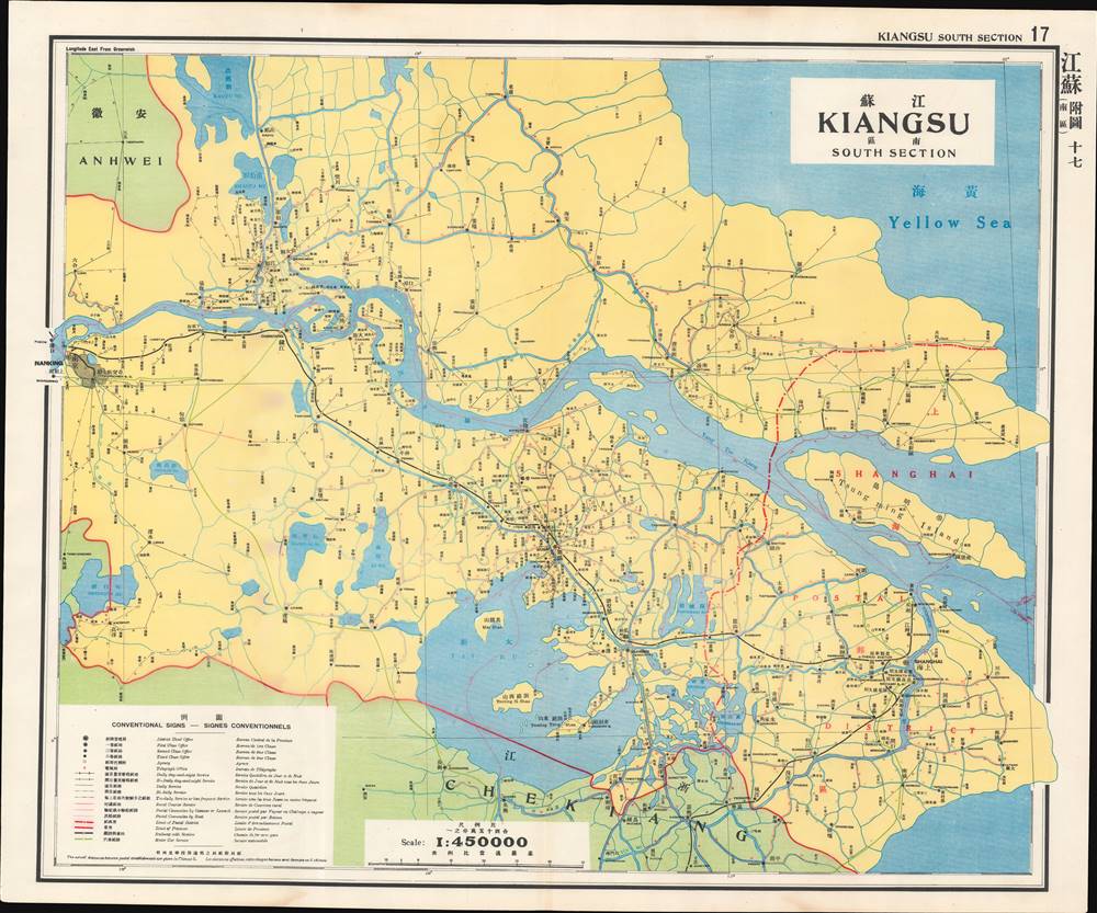
Postal infrastructure in one of the most developed regions of China.
$400.00
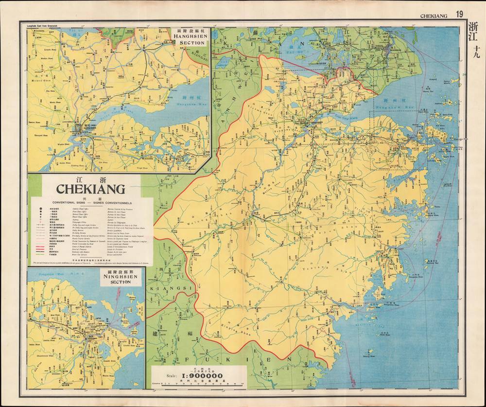
Postal infrastructure in the most developed region of China.
$400.00
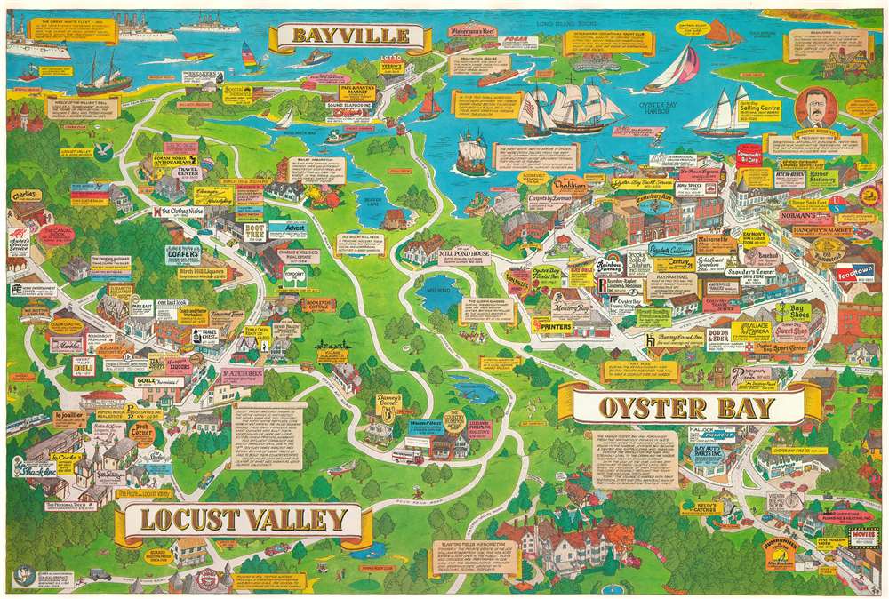
Combines the history of charm of Locust Valley and Oyster Bay.
$350.00
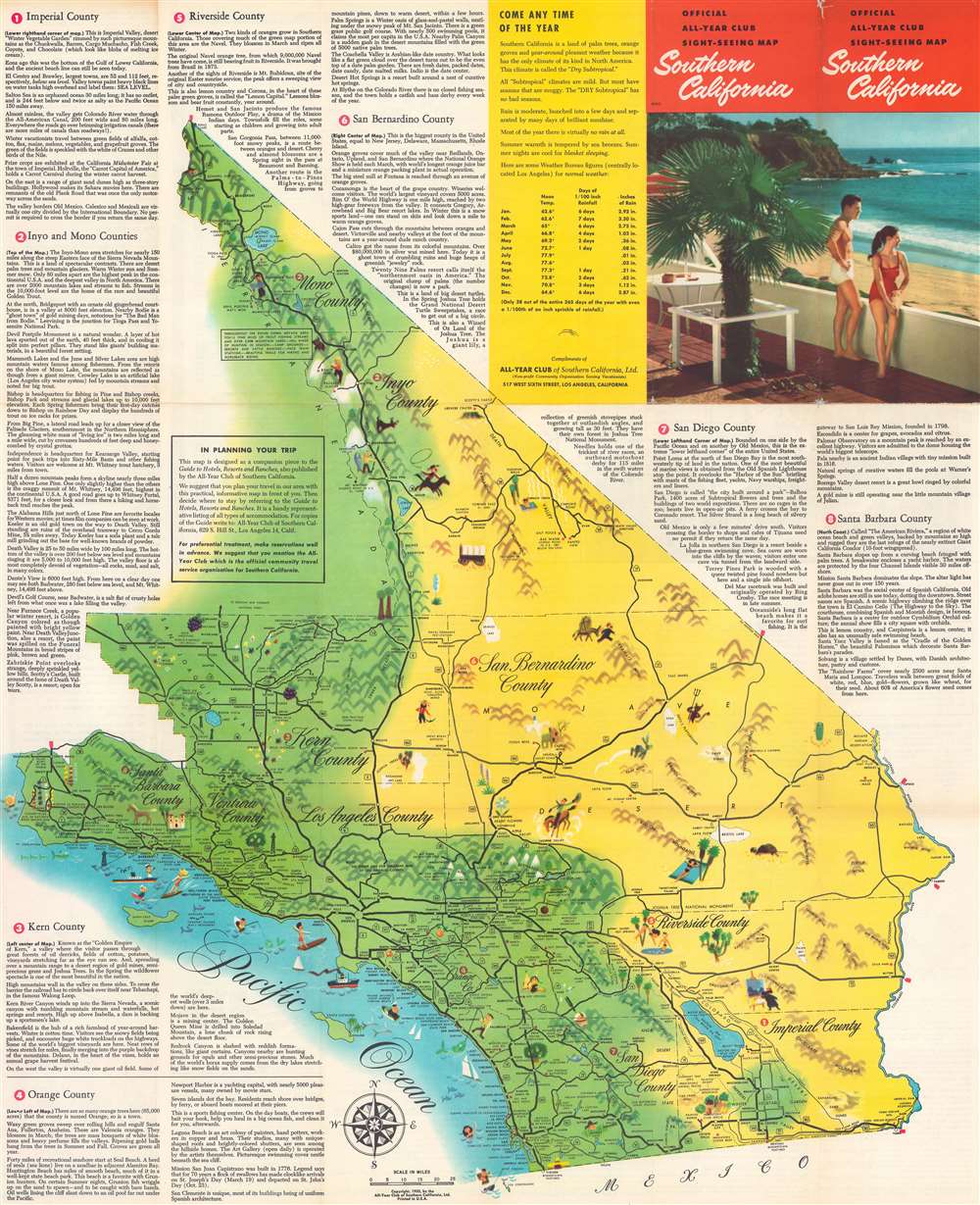
Vacation all year! SoCal Life!
$200.00
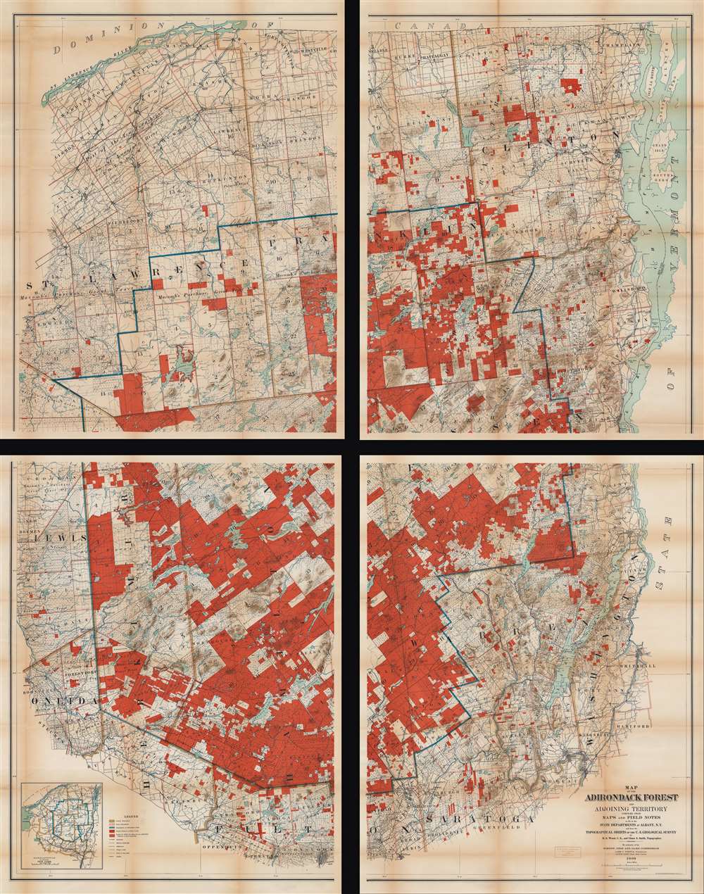
A large, highly detailed wall map of the Adirondacks.
$950.00
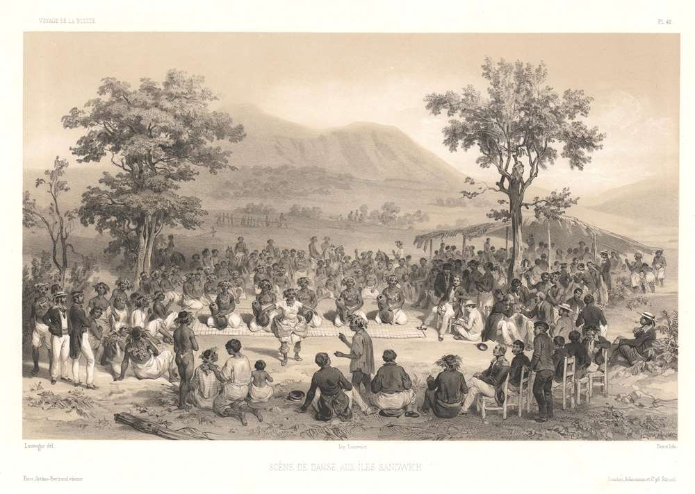
One of the earliest illustrations of a lūʻau.
$500.00

