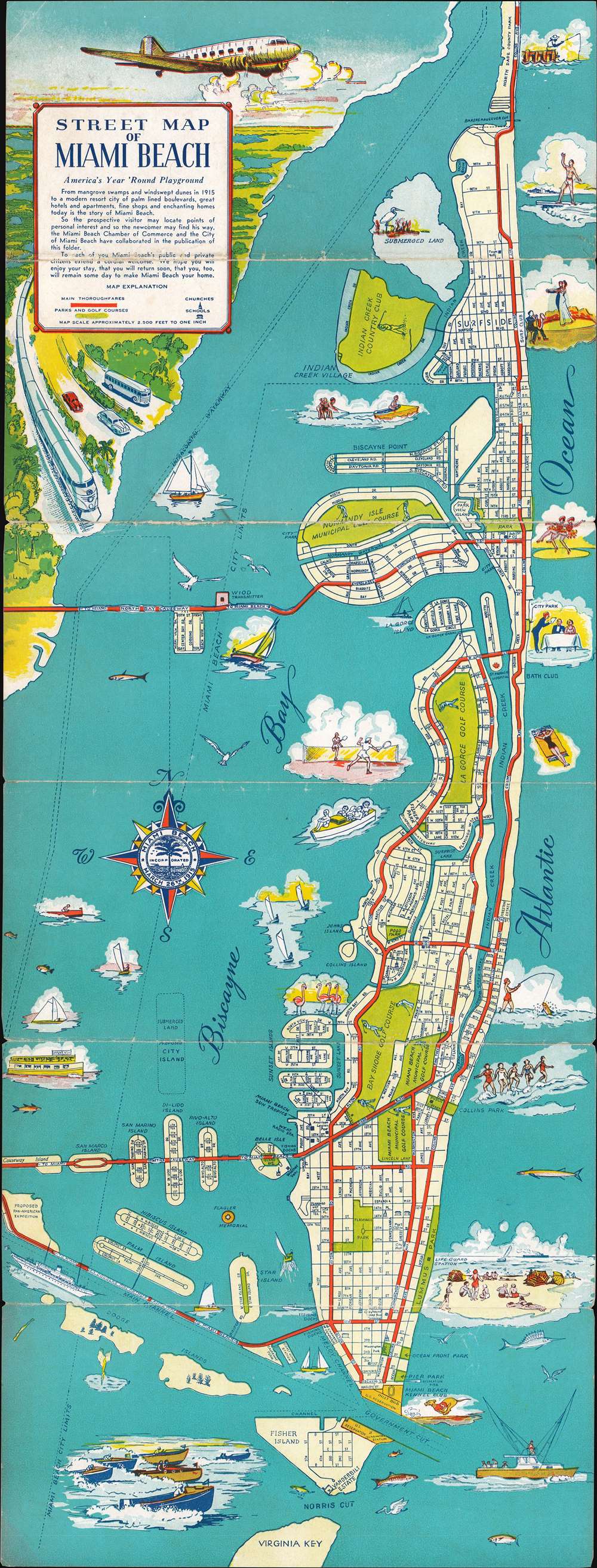
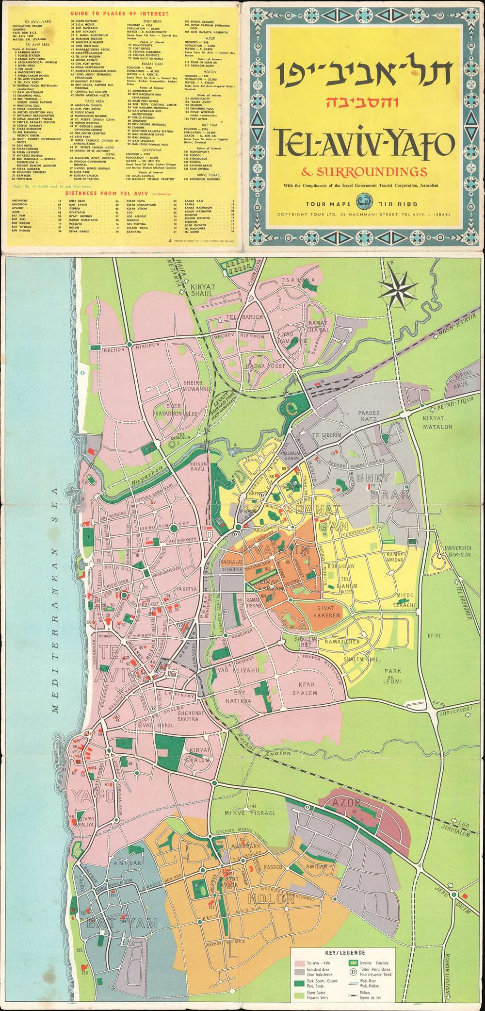
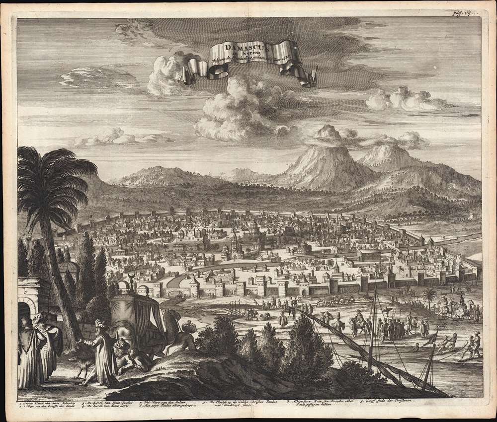
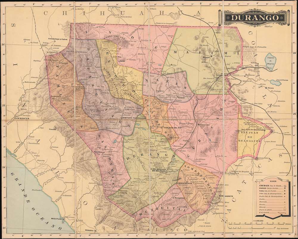
Most recently added antique and rare maps as of 3/29/2024.
1895 Bien Map of Suffolk County (Hamptons), Long Island, New York
Stunning map of the Hamptons, Long Island's summer paradise.
$700.00

1882 U.S.C.G.S. Nautical Chart of the North Landing River, North Carolina
The North Landing River forms the head of Currituck Sound, part of the coastline of both North Carolina and Virginia.
$400.00

1845 Bradford Views of the Moon
A set of four incredible views of the moon in four different phases.
$500.00

1948 Department of Mines Pictorial Map of the Province of Manitoba
A charmingly illustrated pictorial map of the Province of Manitoba in Canada.
$250.00

1944 Kautzky Map of the Philippines and Indonesia for Life Magazine
Created soon after the beginning of the Battle of Peleliu - the bitterest battle of the war for the Marines.
$700.00

1945 Chapin Map of Japan, China, and Korea for TIME Magazine
Illustrates the blockade of the Japanse home islands - references the Twenty-First Bomber Command.
$700.00

1945 Chapin Map of Central Europe for TIME Magazine
Depicts the Allied advance into Germany as a red flood over gray land.
$700.00

1862 Johnson Map of Massachusetts, Connecticut and Rhode Island
Illustrates the region soon after the outbreak of the American Civil War.
$125.00

1861 Mitchell Map of Illinois, Missouri, Iowa, Nebraska, and Kansas
Creates a visual comparison of the industrial strength of the North versus the weakness of the South in relation to the number of constructed and proposed railroad lines.
$200.00

1892 Rand McNally Map of Brazil and Guiana
Published soon after Brazil was declared a Republic.
$100.00

1873 Admiralty Nautical Chart of Maritime Map of the West Coast of England
Depicts the Western Coast of England from the Lake District to Blackpool, a seaside resort town.
$250.00

1942 Minneapols Tribune Map of the World at War During World War II
The world as it was at the outset of American combat operations during World War II.
$450.00

1943 Manning World War II Propaganda Maps: Target Berlin and Target Tokyo
A set of iconic American World War II propaganda broadside maps 'targeting' Berlin and Tokyo.
$750.00

1901 Parker Brothers Map and Board Game of the United States
Players go on a transcontinental journey across the United States - and the first one back home wins!
$600.00

1846 Bradford Map of Arkansas
Published only ten years after Arkansas became a state.
$300.00

1951 Miller Pictorial Map of Cape Cod
A charming and beautifully colored pictorial map of Cape Cod.
$225.00

1883 Scribner's Map of the United States Illustrating American Industry
Highlights the extent of American manufacturing and includes a detailed index of products made in the United States.
$225.00

1883 Scribner's Map of the United States Illustrating Wool Production
Provides a visual comparison of wool production in the United States by county and by state.
$225.00

1846 Bradford Map of South America
Created during the political unrest rampant in 19th century South America.
$175.00

1861 Johnson Map of Massachusetts, Connecticut and Rhode Island
Includes Cape Cod, Martha's Vineyard, and Nantucket.
$125.00