Most recently added antique and rare maps as of 7/3/2025.
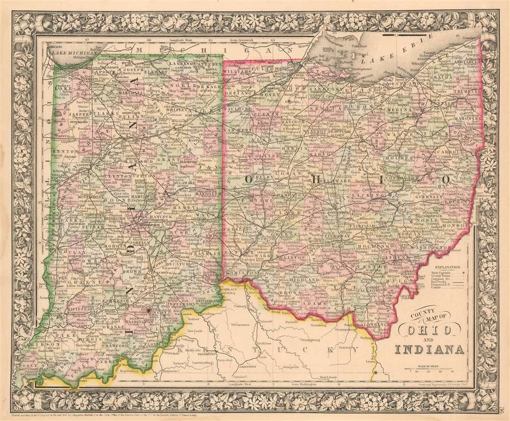
Extending the Reach of the Great Lakes into the Midwest.
$100.00
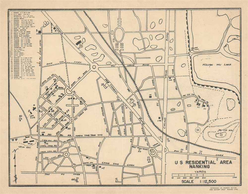
Residential area for post-WWII U.S. Army advisors to the Chinese Nationalist Army.
$750.00
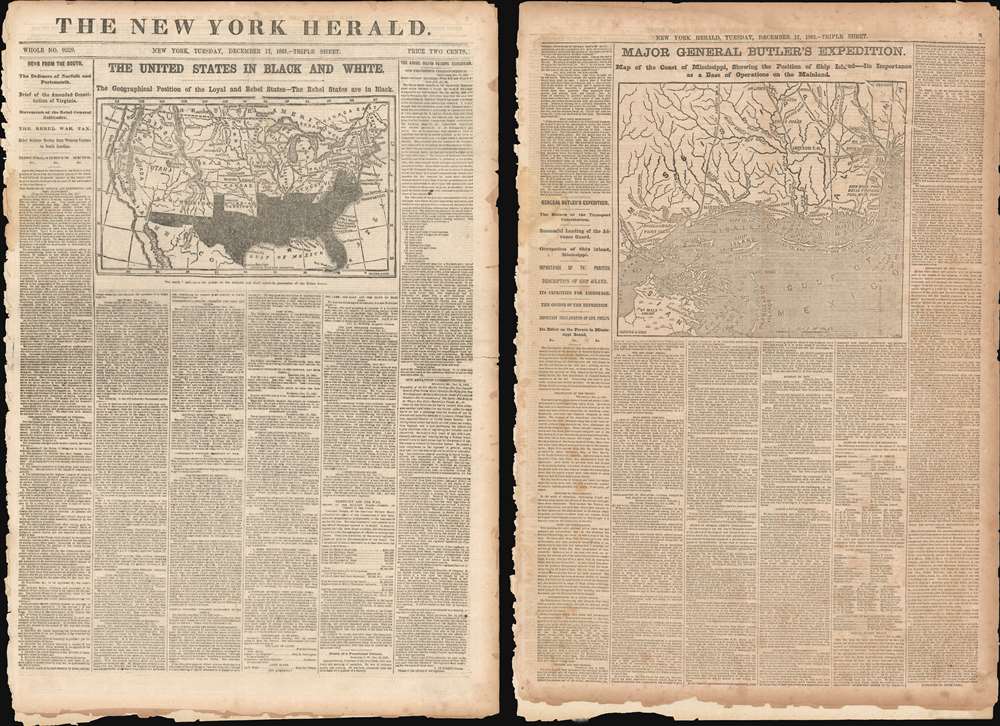
Published eight months into the American Civil War!
$750.00
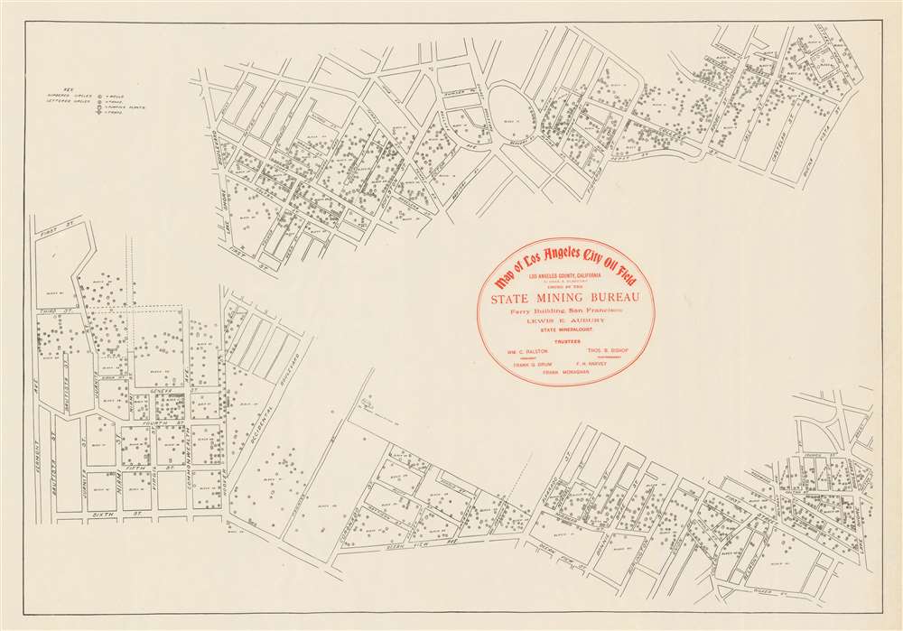
Details the Los Angeles City Oil Field just after its peak year of production.
$600.00
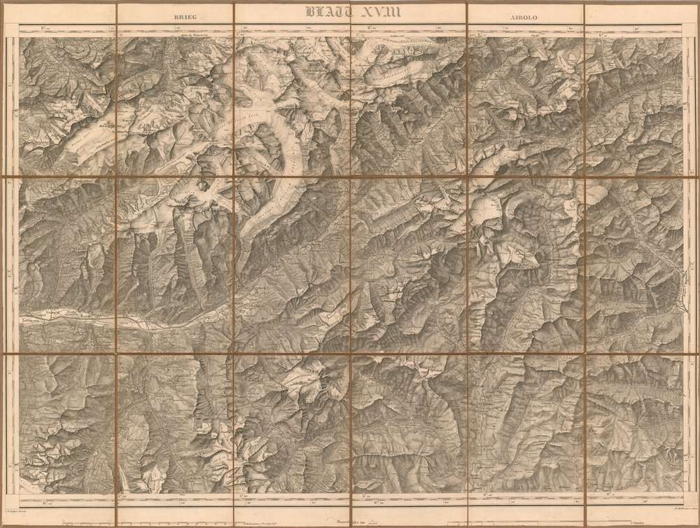
The Valais mapped during the first geometrically accurate survey of Switzerland.
$250.00
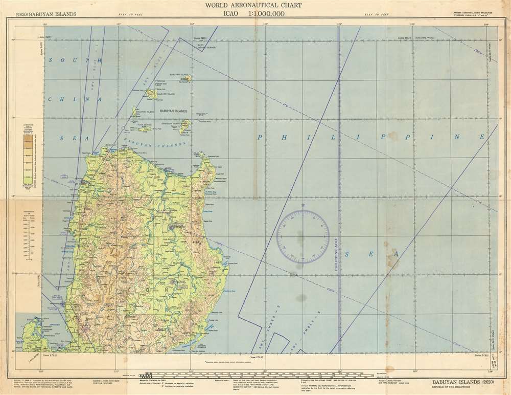
An aeronautical chart detailing northern Luzon and its airways.
$250.00
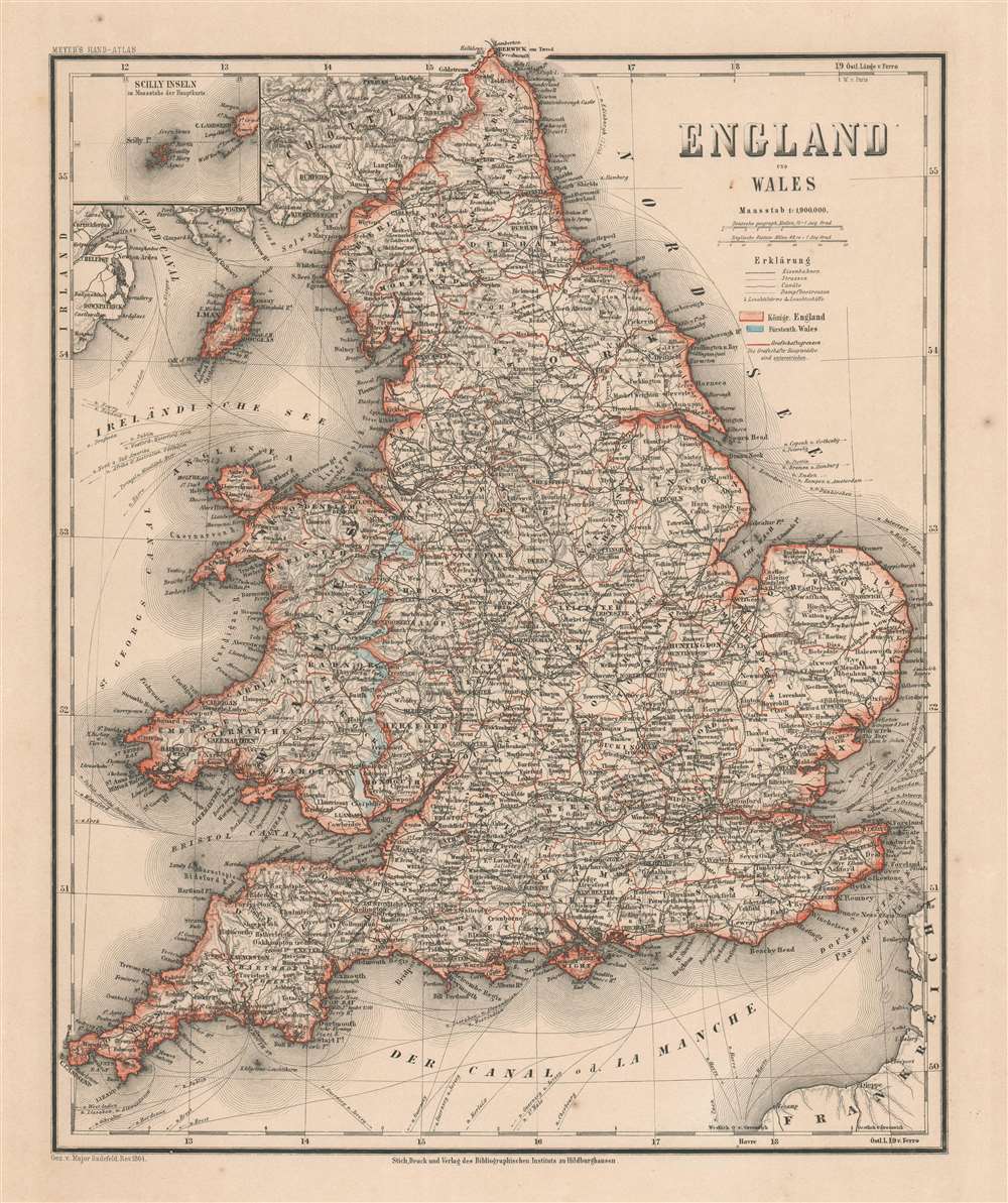
Features an inset of the Isles of Scilly - a popular birdwatching destination.
$150.00
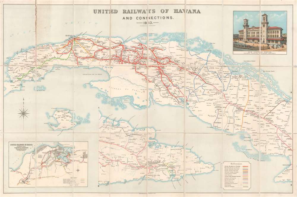
A rare map of Cuba's railroad network before the consolidations of the 1920s.
$1,200.00
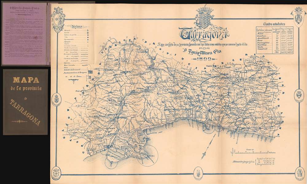
A Spanish province home to four popular 'family holiday destinations' and not far from Barcelona.
$250.00
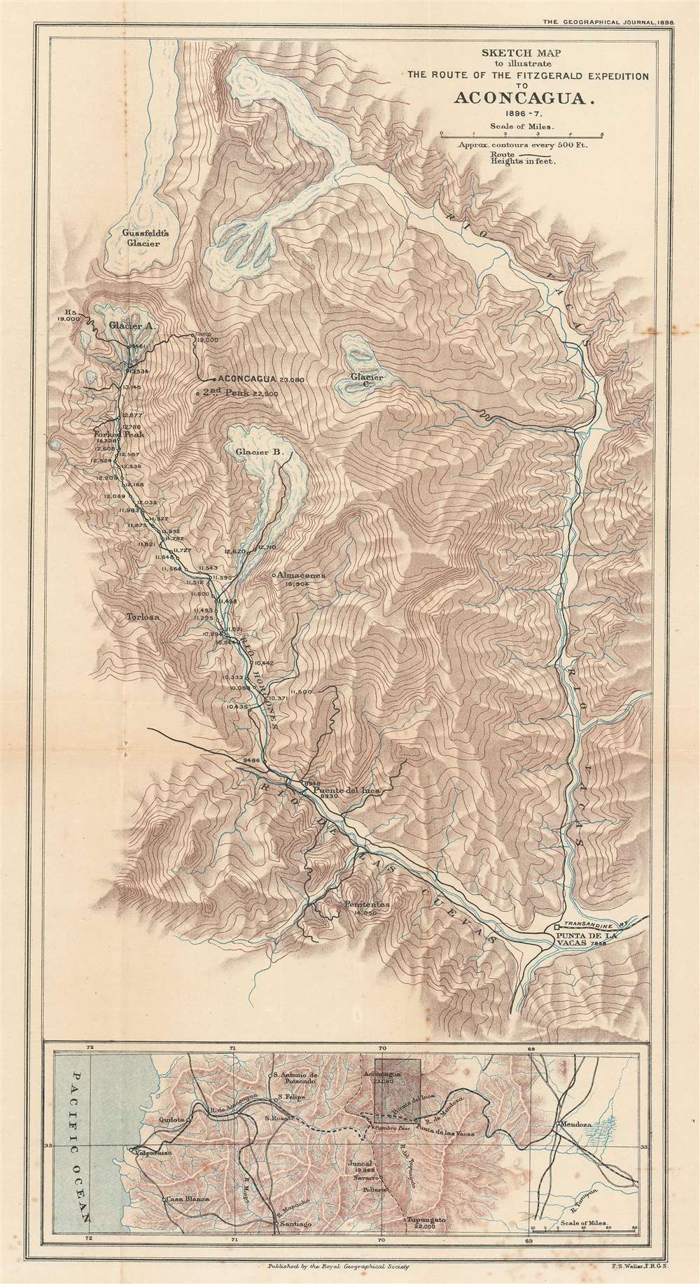
The first successful ascent of Aconcagua, the tallest mountain in America.
$700.00
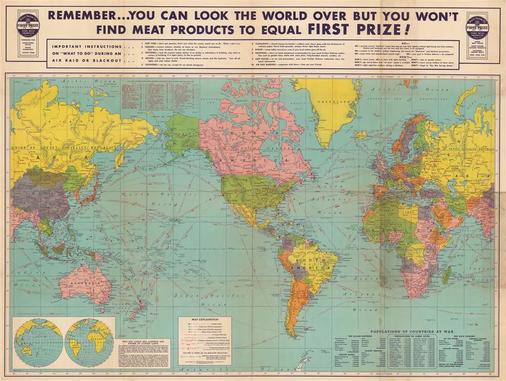
A rare advertising map published to promote the Albany Packing Company's First Prize pure meat products.
$700.00
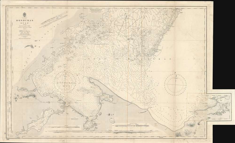
Depicts the Central American coastline from Amatique Bay to the Bahia de Omoa and part of the Northern Railroad to Guatemala City.
$600.00
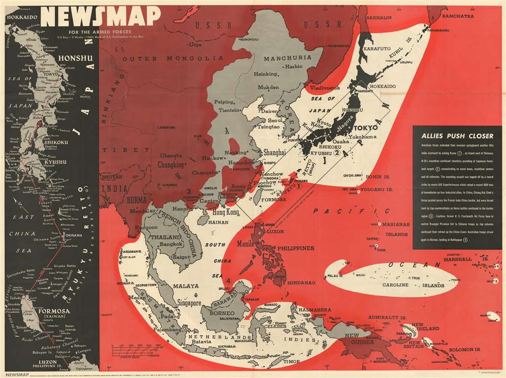
Strikingly illustrates Allied gains in the Pacific and the tightening Allied grip around Japan.
$550.00
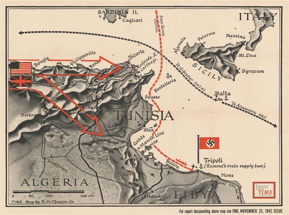
A large-format map made for TIME Magazine focused on World War II in North Africa only two weeks after the Operation Torch landings.
$400.00
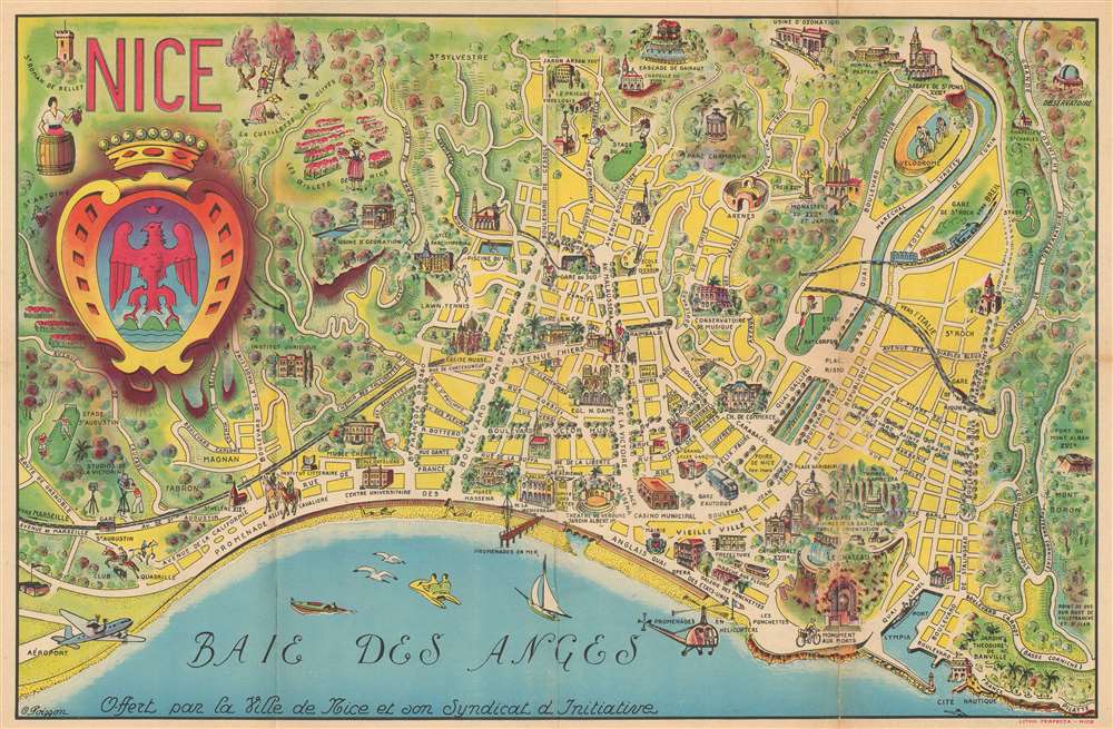
A charming pictorial map of Nice that promotes helicopter rides!
$375.00
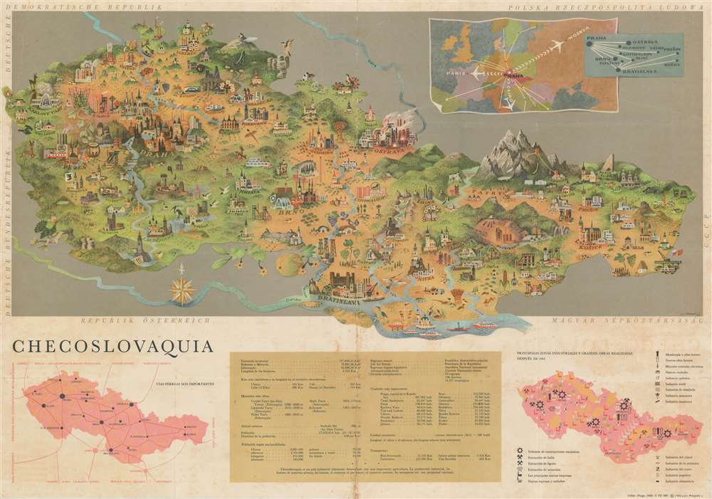
A Cold War era pictorial tourist map of Czechoslovakia in Spanish.
$350.00
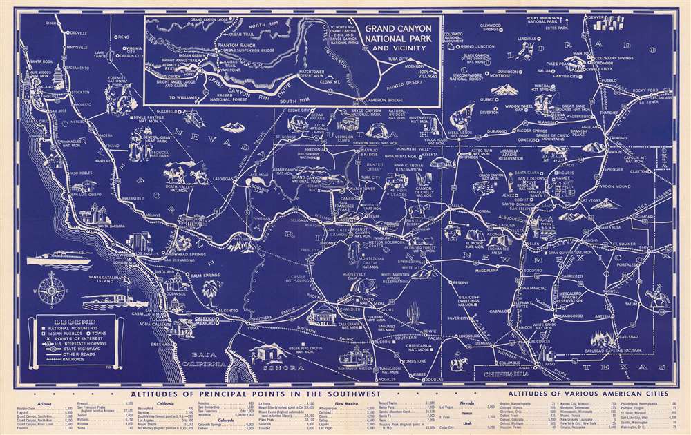
Promoting Tourism in the American Southwest.
$300.00
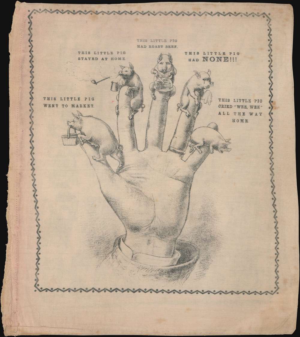
c. 1890 pictorial telling of The Little Piggy nursery rhyme.
$850.00

