Most recently added antique and rare maps as of 7/14/2025.
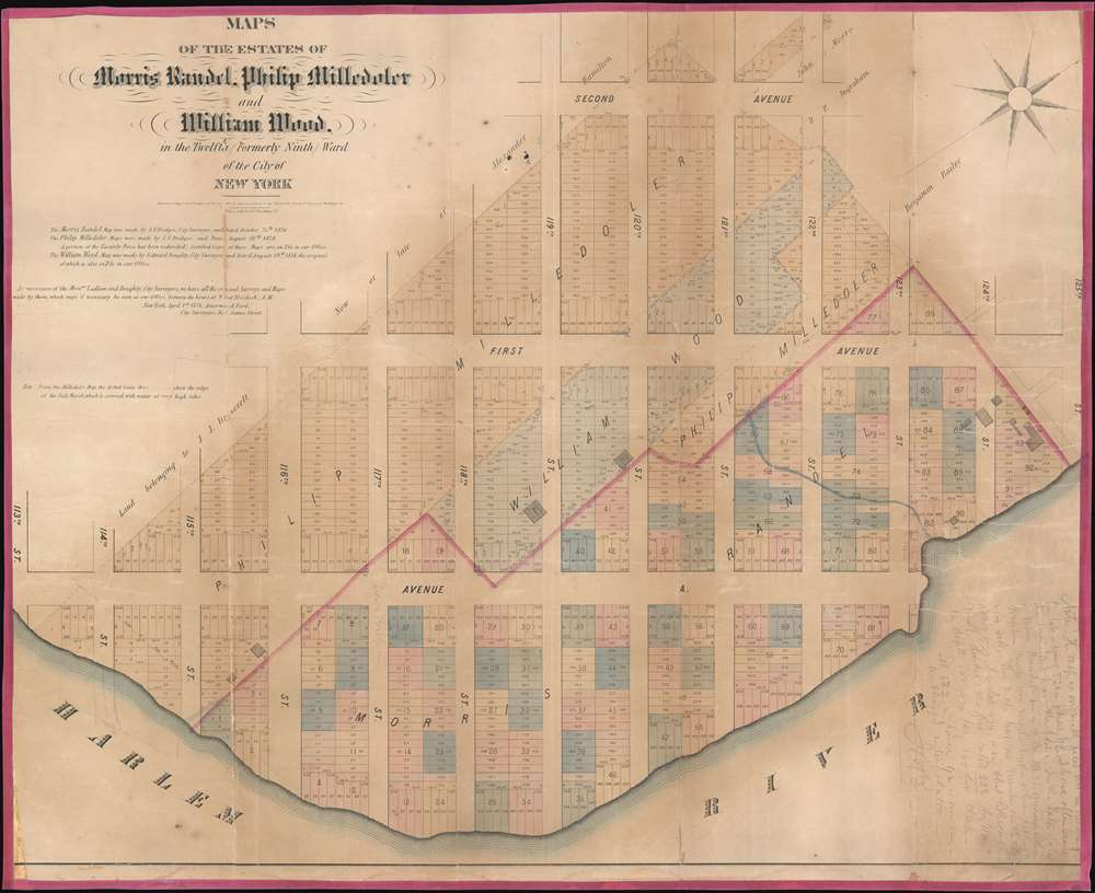
Rare cadestral map of New York City's Spanish Harlem.
$1,500.00
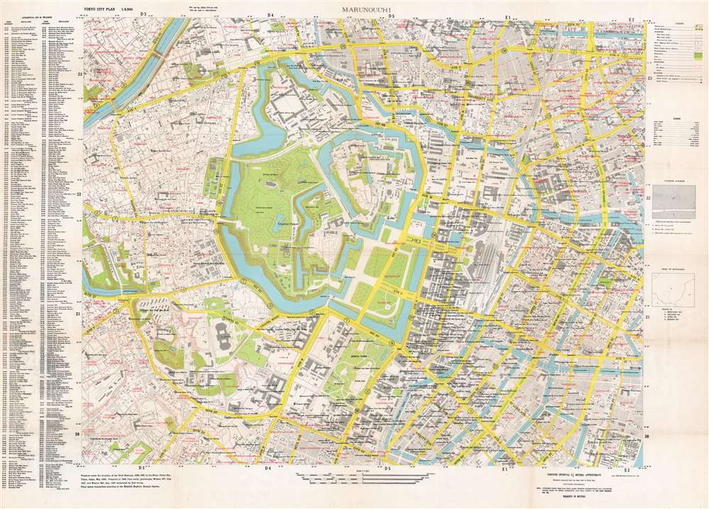
A map of central Tokyo created to help orient Allied personnel during the Occupation of Japan.
$1,800.00
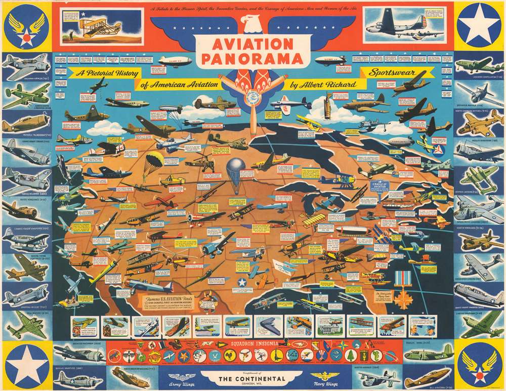
Promotes American aviation advancements and accomplishments in both the military and civilian spheres at the height of World War II.
$1,200.00
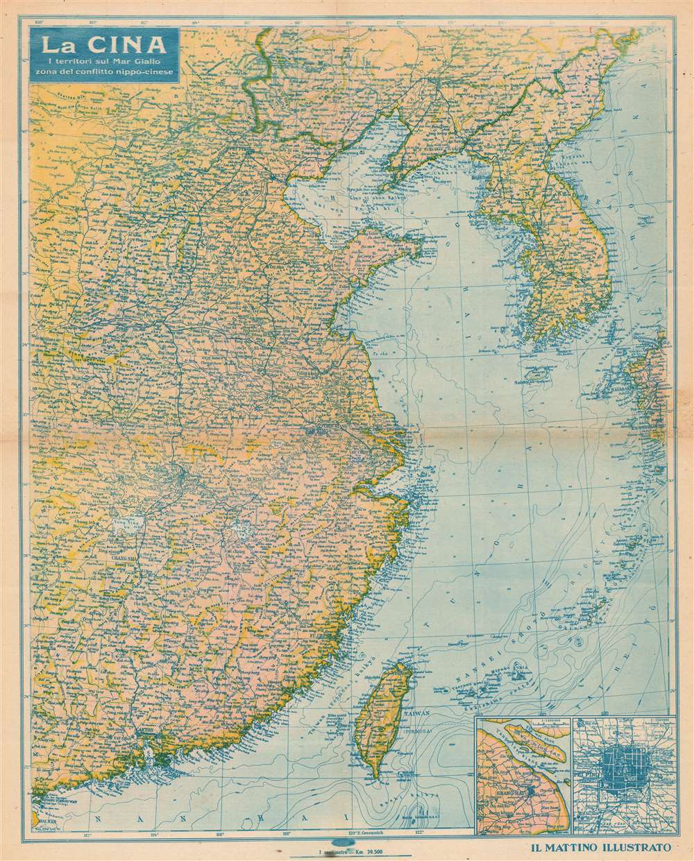
An Italian propaganda map highlighting the Asian situation during the Second Sino-Japanese War.
$900.00
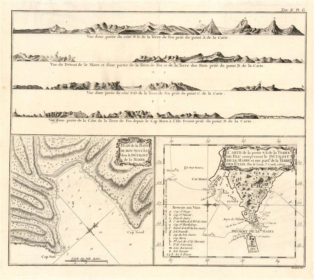
A Beautifully Engraved Record of Cook's 1769 Passage around Tierra del Fuego.
$950.00
The Most Distant island Mapped in Ptolemy's Era
$400.00
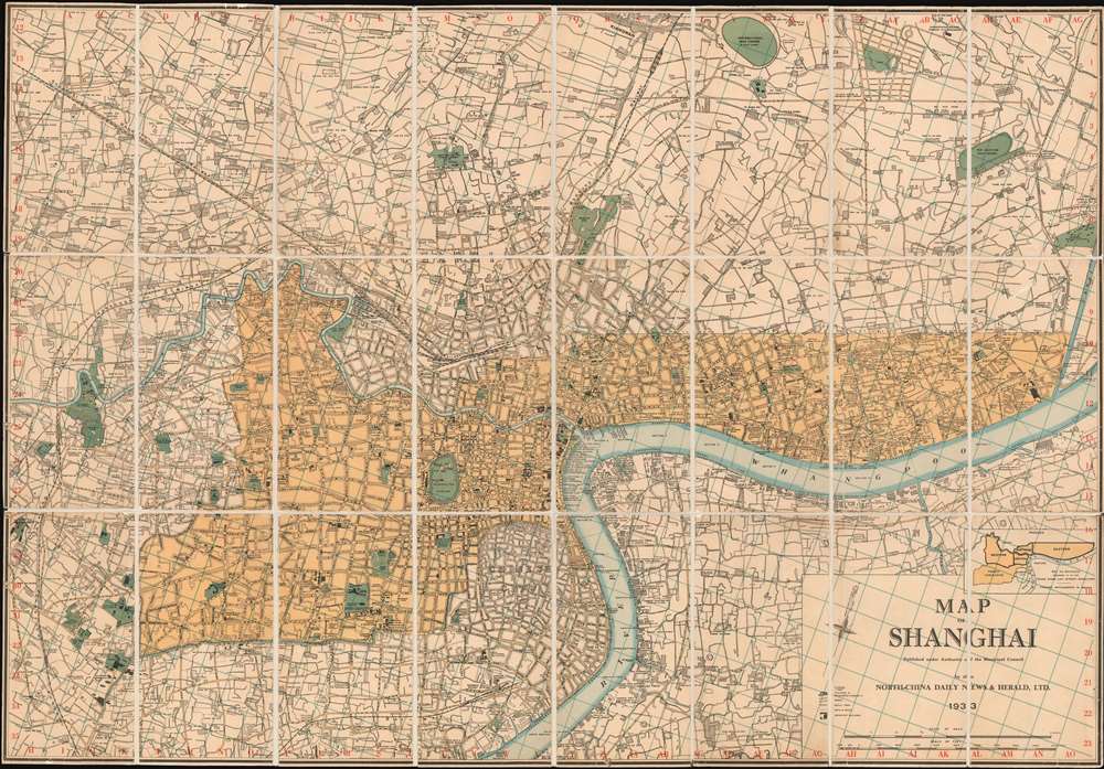
Issued in the final days of Old Shangai just after the January 28 Incident or Shanghai Incident.
$9,000.00
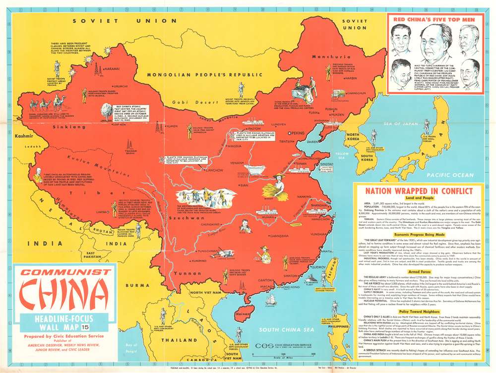
Presents Communist China to 1960s American schoolchildren.
$400.00
A rare piece of history that harkens back to the rest and relaxation periods offered to Allied troops serving in the Pacific during World War II.
$400.00
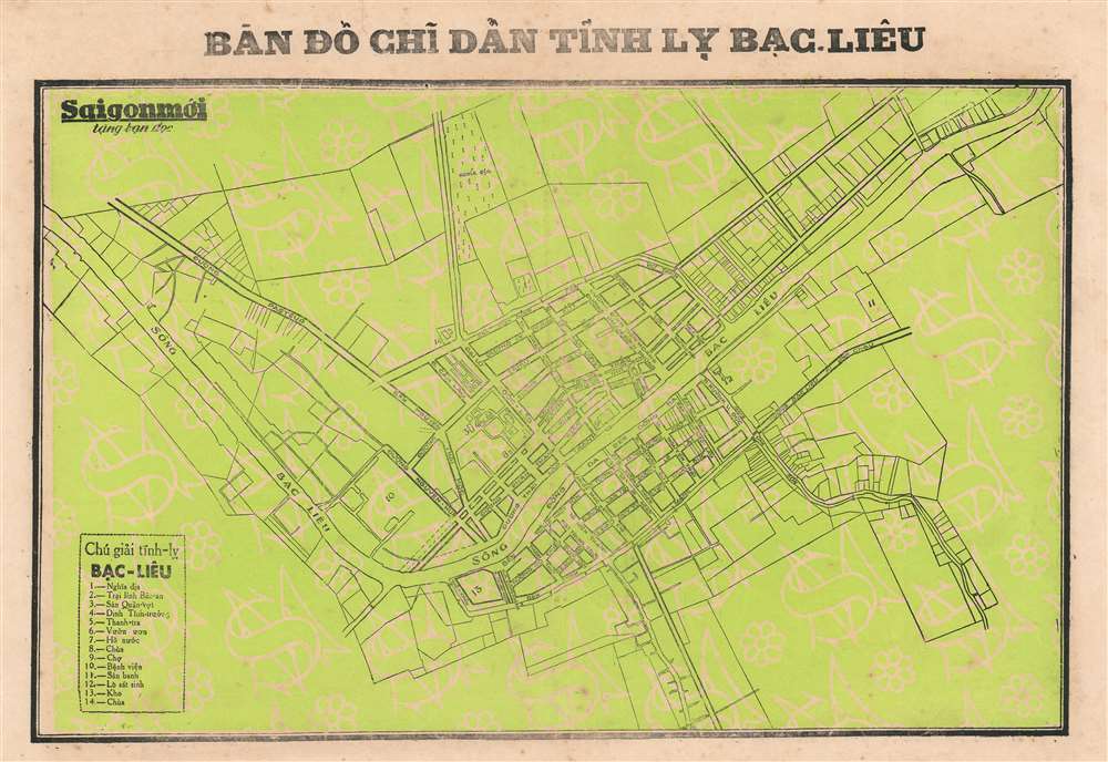
Details a provincial capital just south of the Mekong Delta.
$250.00
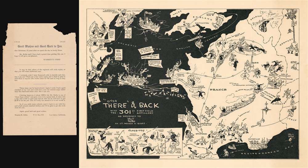
Traces the route of the 301st Field Artillery during World War I.
$950.00
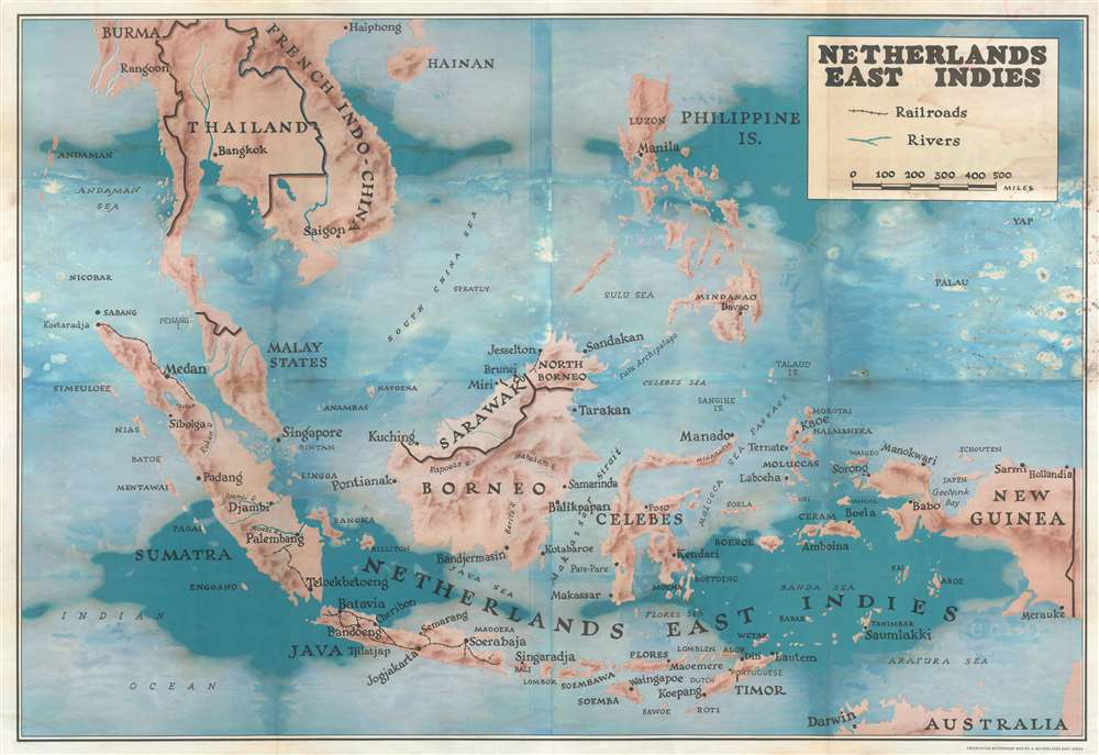
A map of the East Indies created to help educate soldiers during World War II.
$150.00
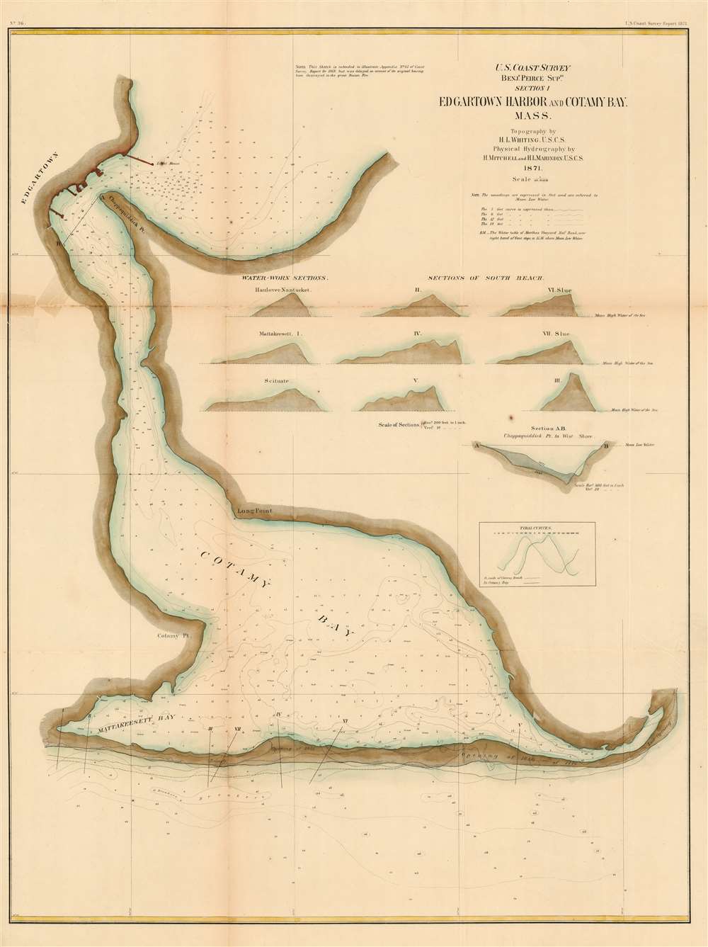
Detailed Early Coastal Chart of Edgartown Harbor
$750.00
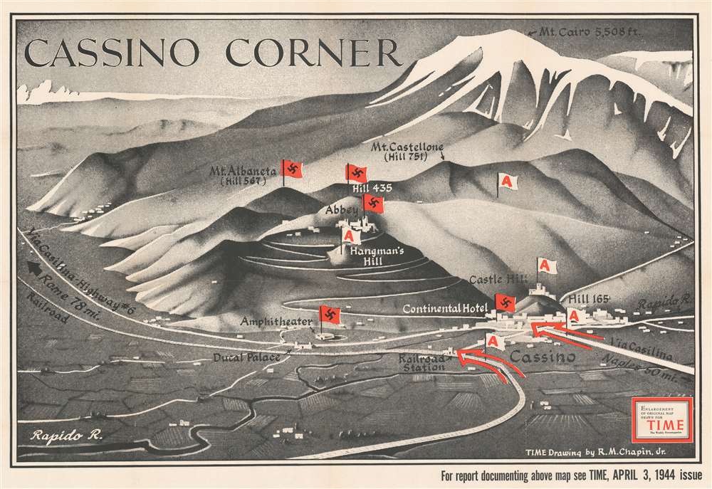
Published between the third and fourth Allied assaults on Monte Cassino, a key strongpoint in German defenses in central Italy.
$700.00
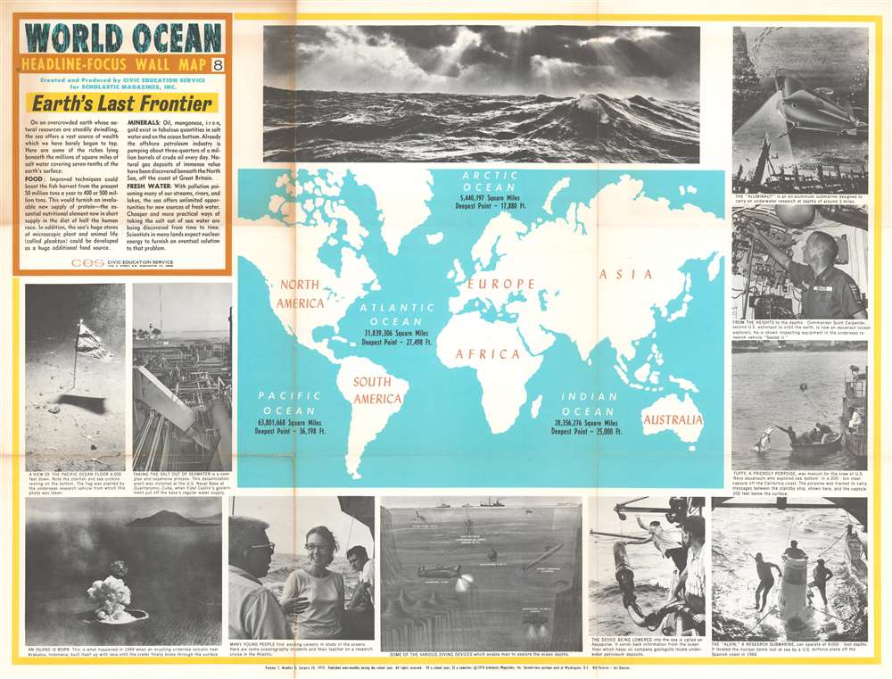
Features an artistic rendering of several submersible vehicles - including the Aluminaut, the world's first aluminum submarine.
$400.00
Promotes the growing importance of fishing cooperatives in Mexico.
$350.00
A charming city map of Manila that highlights the American embassy and United Nations Park.
$250.00
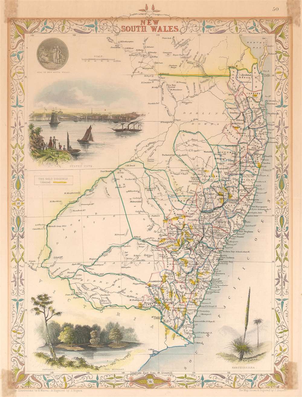
Highlights numerous gold claims across New South Wales at the beginning of the Australian Gold Rush.
$200.00
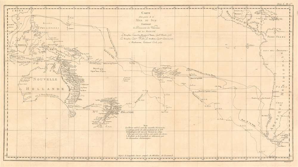
The Pacific Voyages of Three Great English Circumnavigators of the 18th century
$950.00

