
Rand, Avery, and Company
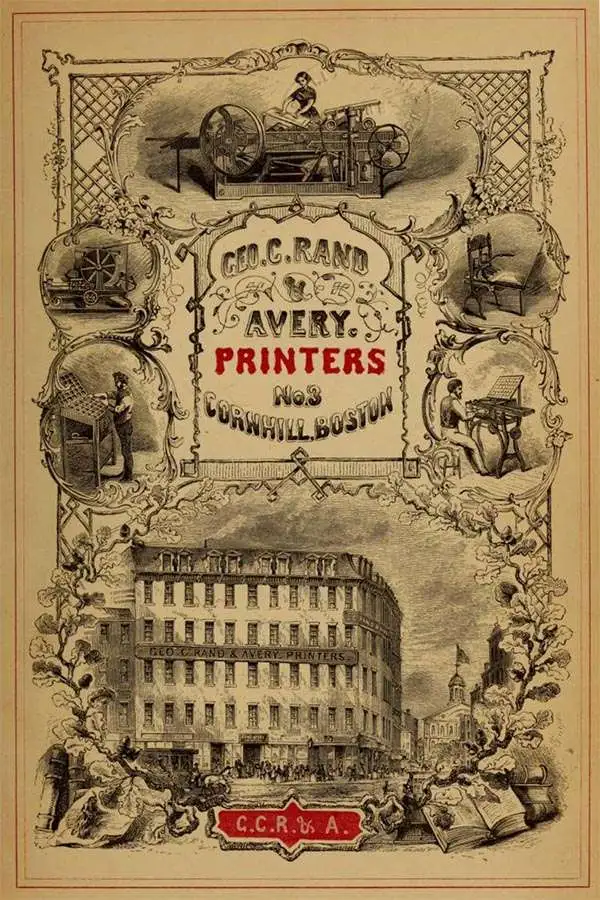
Rand, Avery, and Company (1851 – 1886) was a Boston based book and map printer active in the late 19th century. The company was founded in 1851 by George Curtis Rand (December 13, 1819 – December 30, 1878) and his brother-in-law Abraham Avery (November 15, 1824 - April 3, 1893). George C. Rand was a brother to William H. Rand of Rand, McNally, and Company of Chicago. George C. Rand was born in Woodstock, Vermont, to Baptist minister John Rand (1781 – 1855) and his wife. Rand began working in the printing industry from at least the 1840s, wherein he mostly produced religious tracts. He married Julia Avery in 1851 and brought his brother-in-law, Abraham Avery, into the business, renaming the firm Rand, Avery, and Company. Avery was born in Wibraham, Massachusetts and studied at Wesleyan University, which his father helped to found. Rand, Avery, and Company was based in Cornhill, Boston, and was, for a time, they were the largest printers in New England. Such works as Uncle Tom's Cabin were included in their catalog. Avery retired when Rand died in 1878, but the firm continued to publish under another generation of managers, including Rand's son, Avery L. Rand, until at least 1886. They also took on a fourth partner, Orrin F. Frye, and published as Rand, Avery, and Frye. After retiring Avery moved to Los Angeles where he died in 1893. It appears that this firm also published under the name the Rand Avery Supply Company.
From the Seashore to the White Mountains.
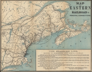
Map of the Eastern Railroad and Principal Connections.
$350.00
Acquire
- Digital Map Information
- Suitable for large format printing
- File Size: 17.23 MB
- File Type: ZIP / TIFF
- ICC color profile embedded
- Delivered instantly via download link
A scarce 1882 map of the Eastern Railroad and its connections in New England and Eastern Canada, printed by Rand Avery. At the time of publication, rail infrastructure was being built at an incredible pace, facilitating a burgeoning tourist industry by allowing people from coastal cities to access the White Mountains and Maine. (more details)
Summer Saunterings.
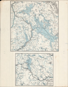
Map of Lake Winnipesaukee and Surroundings. / Map of Lake Sunapee and Surroundings.
$600.00
Acquire
- Digital Map Information
- Suitable for large format printing
- File Size: 265.63 MB
- File Type: ZIP / TIFF
- ICC color profile embedded
- Delivered instantly via download link
A scarce c. 1885 map of Lake Winnipesaukee and Lake Sunapee in New Hampshire, printed by the Rand Avery Supply Co. for the Boston and Lowell Railroad. It demonstrates the importance of the railroad as the main means by which well-heeled Bostonians of the time escaped the city in summer months to the cooler, more scenic environs of New Hampshire. (more details)
Guide for Maine / New Hampshire outdoorsmen.
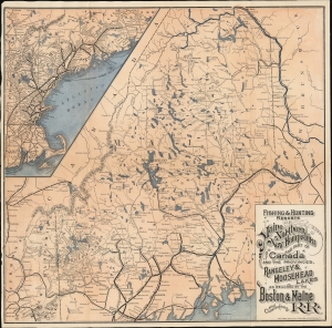
Fishing and Hunting Resorts of Maine, Northern New Hampshire, and Part of Canada and the Provinces, Rangeley and Moosehead Lakes as Reached by the Boston and Maine Railroad and Connections.
$350.00
Acquire
- Digital Map Information
- Suitable for large format printing
- File Size: 17.16 MB
- File Type: ZIP / TIFF
- ICC color profile embedded
- Delivered instantly via download link
This is a map of the lakes and mountains of Maine and New Hampshire, the hunting and fishing lodges serving them, and the railroads allowing access to them from Boston and other coastal cities. It was printed in 1899 as a promotion for the Boston and Maine Railroad. (more details)
Mountain Railroad of Northern New England.
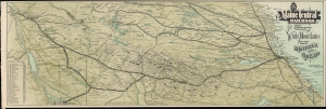
Maine Central Railroad The Only Line Running through the White Mountains to and from Montreal and Quebec.
$550.00
Acquire
- Digital Map Information
- Suitable for large format printing
- Full resolution TIFF file
- ICC color profile embedded
- Delivered instantly via download link
An impressive 1901 view of northern New England and Quebec, prepared by F. E. Boothby and printed by Rand Avery, displaying the lines of the Maine Central Railroad. These lines operated steady freight and passenger services, carrying timber and other resources south to the populous coast and bringing vacationers from urban areas northwards during the summer. (more details)
From Penobscot Bay to the Canadian border.
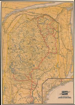
Bangor and Aroostook Railroad and Connections Including Northern Maine Hunting and Fishing Region.
$400.00
Acquire
- Digital Map Information
- Suitable for large format printing
- File Size: 32.79 MB
- File Type: ZIP / TIFF
- ICC color profile embedded
- Delivered instantly via download link
This is a c. 1915 Rand Avery Supply Company railroad map of Maine highlighting the Bangor and Aroostook Railroad. Covering from Belfast to Canada, a solid red line traces the Bangor and Aroostook Railroad's route. Cities, towns, and villages along the Bangor and Aroostook's route are labeled, including the then closed Katahdin Iron Works. Thin black lines follow the routes of the Maine Central Railroad, the Canadian Pacific Railroad, with a thicker black line emphasizing the Canadian Government Railway skirting Maine's northern and eastern borders. Lakes of varying size appear throughout, including Moosehead Lake near the left border. An inset map in the lower right presents the Maine Central Railroad and the Boston and Maine Railroad lines between Boston and Bangor. (more details)