
Smith, Charles (sold)

Charles Smith (1768 - 1854) was 19th century British publisher of maps, atlases, and charts, most of which focused on England and London. Smith was appointed map seller to the Prince of Wales in 1809. His early work stylistically resembles the work of Pinkerton, Cary, and Thomson, though on a much smaller scale. From 1826 to 1854 the business traded as Charles Smith and Son. After Charles Smith's death in 1852 the it was taken over by his son William Smith, and later his grandson Guildford Smith (1838 - 1917), who continued to publish maps well into the 20th century. The younger Smith is best known for his introduction of the 'Tape Indicator Map'. This map, which came with a tape measure, enabled users to triangulate their location based coordinates given in an attached guide. The firm was taken over by George Philip in 1916.
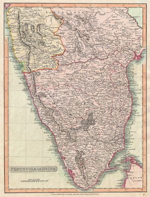
Peninsula of India.
sold
- Digital Map Information
- Suitable for large format printing
- DPI: 300
- File Size: 22.79 MB
- File Type: ZIP / TIFF
- ICC color profile embedded
- Delivered instantly via download link
This is an attractive 1808 map of India by English map publisher Charles Smith. Covers the subcontinent from Bombay (Mumbai) south to include parts of Ceylon (Sri Lanka). Highly detailed. Based on the Faden map of 1793. Divided according to the Princely States ... (more details)
Scarce pocket map of London, edition not in Howgego.
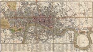
Smith's New Plan of London, Westminster and Southwark: Comprehending All the New Buildings and 350 References to the Principal Streets with the New Docks at Wapping and Blackwell.
sold
- Digital Map Information
- Suitable for large format printing
- DPI: 300
- File Size: 21.65 MB
- File Type: ZIP / TIFF
- ICC color profile embedded
- Delivered instantly via download link
A scarce 1822 dissected pocket map of London, England, by Charles Smith. Centered on the Thames River, this map covers from Paddington to Greenwich and from Chelsea Common to Stratford. The City of London is highlighted in Red and major arteries appear in dark ... (more details)
Among the earliest composite mountains and rivers charts.
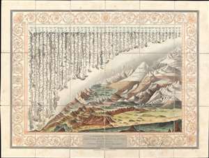
A Combined View of the Principal Mountains and Rivers in the World; accompained by a table shewing their relative Heights and Lengths.
sold
- Digital Map Information
- Suitable for large format printing
- DPI: 600
- File Size: 110.56 MB
- File Type: ZIP / TIFF
- ICC color profile embedded
- Delivered instantly via download link
A groundbreaking convention establishing map of extreme scarcity, this is Charles Smith and W. R. Gardner's 1824 comparative mountains and rivers of the world chart. It is the second known iteration of a comparative chart to depict both mountains and rivers in the same plate, preceded only by the Gardner/Darton chart of 1823 – thus defining a cartographic style that would flourish throughout the remainder of the 19th century. (more details)
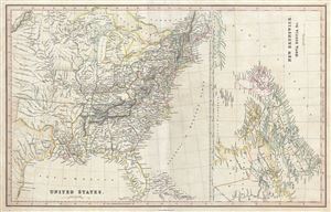
United States. New Brunswick, Nova Scotia etc.
sold
- Digital Map Information
- Suitable for large format printing
- DPI: 300
- File Size: 11.17 MB
- File Type: ZIP / TIFF
- ICC color profile embedded
- Delivered instantly via download link
A fine 1830 map of the United States and Canada by Charles Smith and Sons. Essentially two maps on the same sheet, the map on the left depicts United States as it existed in 1830, including the Missouri Territory, Arkansas Territory (spelled 'Arkansaw'), and ... (more details)
Comparative Arctic Exploration chart. The only known example of this edition!
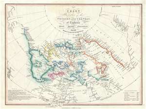
Chart Illustrative of the Voyages and Travels, of Captains Ross, Parry, Franklin, and Back With the recent discoveries by Captn. McClure.
sold
- Digital Map Information
- Suitable for large format printing
- DPI: 300
- File Size: 2.9 MB
- File Type: ZIP / TIFF
- ICC color profile embedded
- Delivered instantly via download link
A very attractive 1852 map of the North American Arctic by Charles Smith. This map was drawn to capitalize on an era obsessed with the wonders and dangers of Arctic exploration. Covering from Alaska to Iceland and from the North Pole to the Hudson Bay, ... (more details)
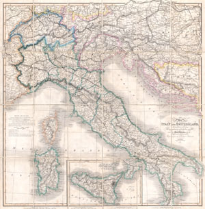
Map of Italy and Switzerland Particularly distinguishing the Different Travelling Roads and the Post Stations; with the number of posts between each Station. Compiled from the most recent Authorities.
sold
- Digital Map Information
- Suitable for large format printing
- File Size: 23.26 MB
- File Type: ZIP / TIFF
- ICC color profile embedded
- Delivered instantly via download link
A rare and beautiful case format map of Italy and Switzerland from 1859. Produced by London cartographer Charles Smith. Covers from Geneva in the west as far east as Turkey and Dalmatia, north to Vienna, and south to include Sicily. Also includes ... (more details)
British interest in the American Civil War.
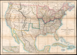
Map of the United States of North America, Upper and Lower Canada, New Brunswick, Nova Scotia and British Columbia. Mexico, Cuba, Jamaica, St. Domingo and the Bahama Islands.
sold
- Digital Map Information
- Suitable for large format printing
- File Size: 51.16 MB
- File Type: ZIP / TIFF
- ICC color profile embedded
- Delivered instantly via download link
This is an 1862 'Smith and Son' map of the United States during the American Civil War (1861 - 1865). Although ostensibly from a 'neutral' perspective, the map reflects British interest in the conflict, which was significant as the Union blockade of the Confederacy drove the important British textile industry into ruin. (more details)
Graphic Traveler's Guide to London.
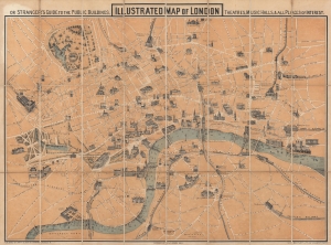
Illustrated Map of London, or Stranger's Guide to the Public Buildings, Theatres, Music Halls, and all Places of Interest.
sold
- Digital Map Information
- Suitable for large format printing
- Full resolution TIFF file
- ICC color profile embedded
- Delivered instantly via download link
This is an 1867 George Hartnell Bartlett pictorial map of London, England, with charming profile illustrations of landmarks. The building profiles were drawn by Bartlett himself and, while not unprecedented, were pioneering in a cartographic context. Bartlett went on to make related maps of New York, Boston, Paris, and Massachusetts, but this is his first and thus most significant work. (more details)
Striking pictorial 'monumental' map of London!
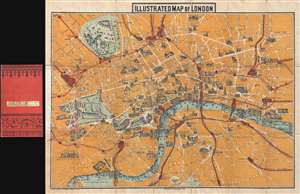
Illustrated Map of London.
sold
- Digital Map Information
- Suitable for large format printing
- File Size: 11.51 MB
- File Type: ZIP / TIFF
- ICC color profile embedded
- Delivered instantly via download link
An uncommon 1887 pictorial map of London by Charles Smith and Son. Centered on the Royal Courts of Justice, the map extends from Kensington Palace to the Tower of London and from Islington Green to Kennington Oval and Park. London's developing transportation network is highlighted in red. Important monuments and even parks are highlighted with vignette illustrations of the buildings themselves. (more details)
Striking pictorial 'monumental' map of London!
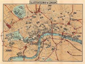
Illustrated Map of London.
sold
- Digital Map Information
- Suitable for large format printing
- File Size: 33.52 MB
- File Type: ZIP / TIFF
- ICC color profile embedded
- Delivered instantly via download link
An uncommon 1887 pictorial map of London by Charles Smith and Son. Centered on the Royal Courts of Justice, the map extends from Kensington Palace to the Tower of London and from Islington Green to Kennington Oval and Park. London's developing transportation network is highlighted in red. Important monuments and even parks are highlighted with vignette illustrations of the buildings themselves, including Buckingham Palace, St. Paul's Cathedral, and the Tower of London. (more details)
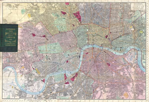
Extended Tape Indicator Map of London and Visitors Guide.
sold
- Digital Map Information
- Suitable for large format printing
- File Size: 25.21 MB
- File Type: ZIP / TIFF
- ICC color profile embedded
- Delivered instantly via download link
A large and attractive folding pocket format map of London England by C. Smith and son. This map is from the popular 'Tape Indicator' series that was published in numerous editions from the 1850 to the early 20th century. This beautiful large ... (more details)
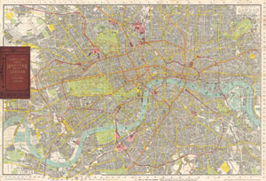
Tape Indicator Map of London.
sold
- Digital Map Information
- Suitable for large format printing
- File Size: 24.09 MB
- File Type: ZIP / TIFF
- ICC color profile embedded
- Delivered instantly via download link
This is an unusual large format folding pocket map of London printed in 1910 by C. Smith and Sons. Depicts the city of London in considerable detail with special attention to streets, railways and places of amusement. INdivudal buildings noted ... (more details)